Afghanistan, officially the Islamic Republic of Afghanistan, is a landlocked country located within South Asia and Central Asia. Afghanistan is bordered by Pakistan in the south and east; Iran in the west; Turkmenistan, Uzbekistan, and Tajikistan in the north; and in the far northeast, China. Its territory covers 652,000 square kilometers (252,000 sq mi) and much of it is covered by the Hindu Kush mountain range, which experience very cold winters. The north consists of fertile plains, whilst the south-west consists of deserts where temperatures can get very hot in summers. Kabul serves as the capital and its largest city.
The political history of the modern state of Afghanistan began with the Hotak and Durrani dynasties in the 18th century. In the late 19th century, Afghanistan became a buffer state in the Great Game between British India and the Russian Empire. Its border with British India, the Durand Line, was formed in 1893 but it is not recognized by the Afghan government and it has led to strained relations with Pakistan since the latter's independence in 1947. Following the Third Anglo-Afghan War in 1919 the country was free of foreign influence, eventually becoming a monarchy under King Amanullah, and later for 40 years under Zahir Shah. In the late 1970s, Afghanistan in a series of coups first became a socialist state and then a Soviet Union protectorate. This evoked the Soviet-Afghan War in the 1980s against rebels. By 1996 most of Afghanistan was captured by the fundamentalist Islamic group the Taliban, who ruled most of the country as a totalitarian regime for almost five years. The Taliban were forcibly removed by the NATO-led coalition, and a new democratically-elected government political structure was formed.
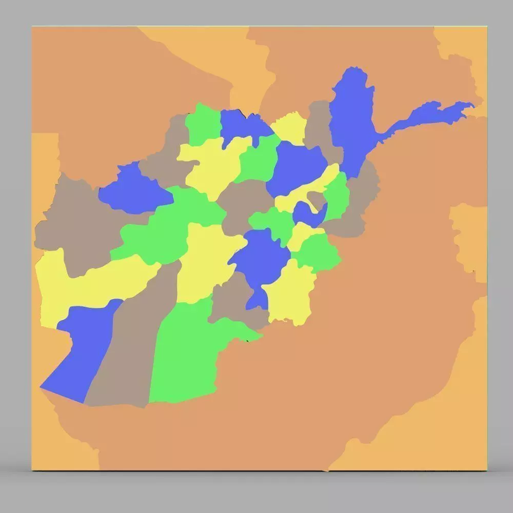
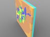
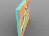
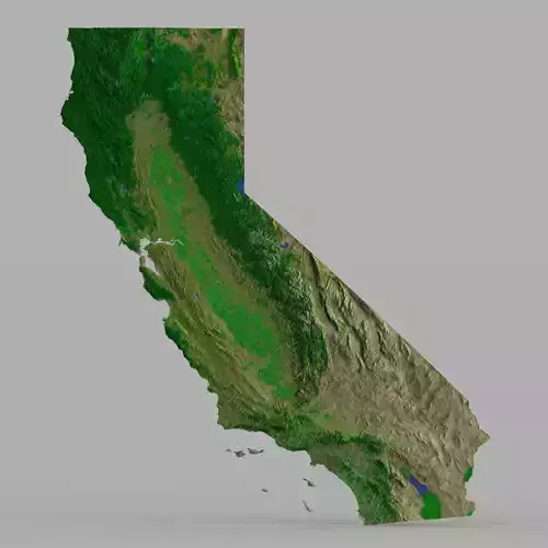
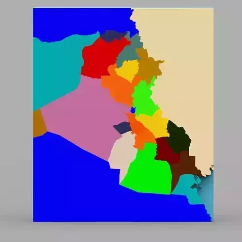
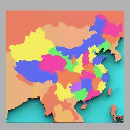
This is a digital model of the country of Afghanistan with color-coded regions.
Product Features:
- Approx 33858 polygons.
- Made with 3 and 4 point polygons.
- Includes separate materials for different regions.
- Includes parts representing regions in the country.
- This version includes an mtl file, which your software program should read to colorize the model.
- The model has basic UV mapping and NO textures are included.