1/12
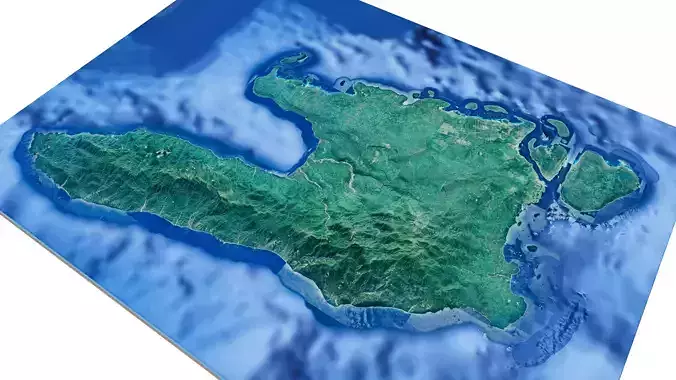
Espiritu santo island 3d model terrain. 3d model Island of espiritu santo with its landscape of mountains, beaches and forests.
3d model landscape of Espiritu santo island, South Pacific, Sanma Province, Vanuatu.
High Poly meshHigh detailed model
with 8K textures
- Diffuse map
- AO map
- Displacement map
- Normal map
- Roughness map
The Blend file do not require the displacement, but you can still use it if you want to create other island model yourself
Texture example from Espiritu santo island, South Pacific, Sanma Province, Vanuatu. Espiritu Santo is the largest island in Vanuatu, an archipelago country in the South Pacific. It’s known for its beaches, such as Champagne Beach and Lonnoc Beach, with coral reefs and clear, sheltered waters. The town of Luganville has WWII relics like Quonset huts at Main Wharf. Nearby, popular dive sites include the sunken SS President Coolidge cruise liner and Million Dollar Point’s submerged U.S. war machinery.
REVIEWS & COMMENTS
accuracy, and usability.


