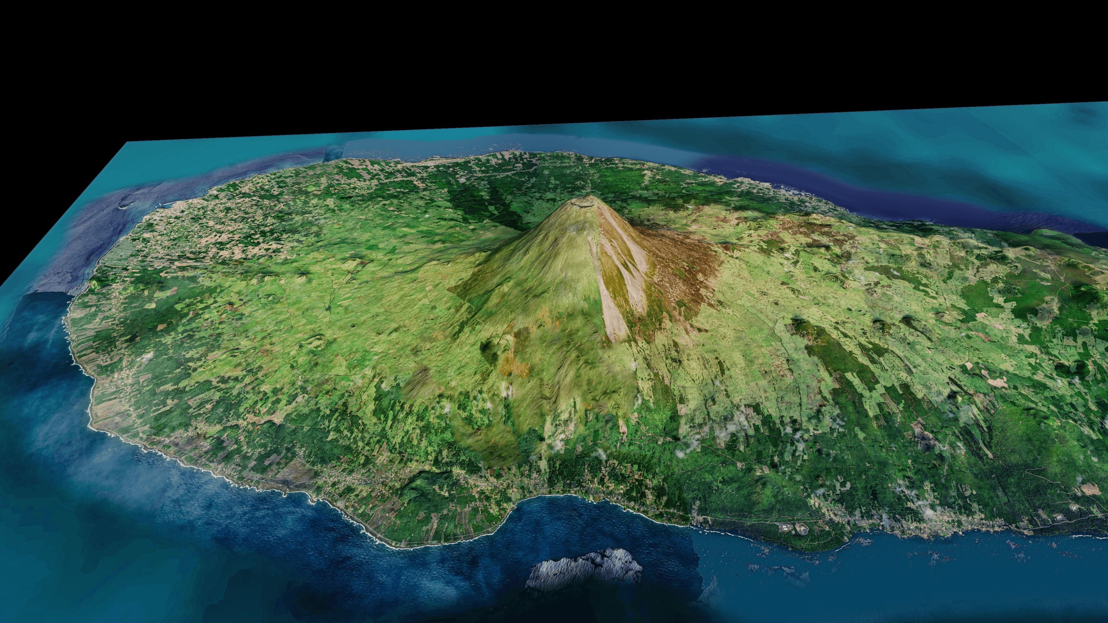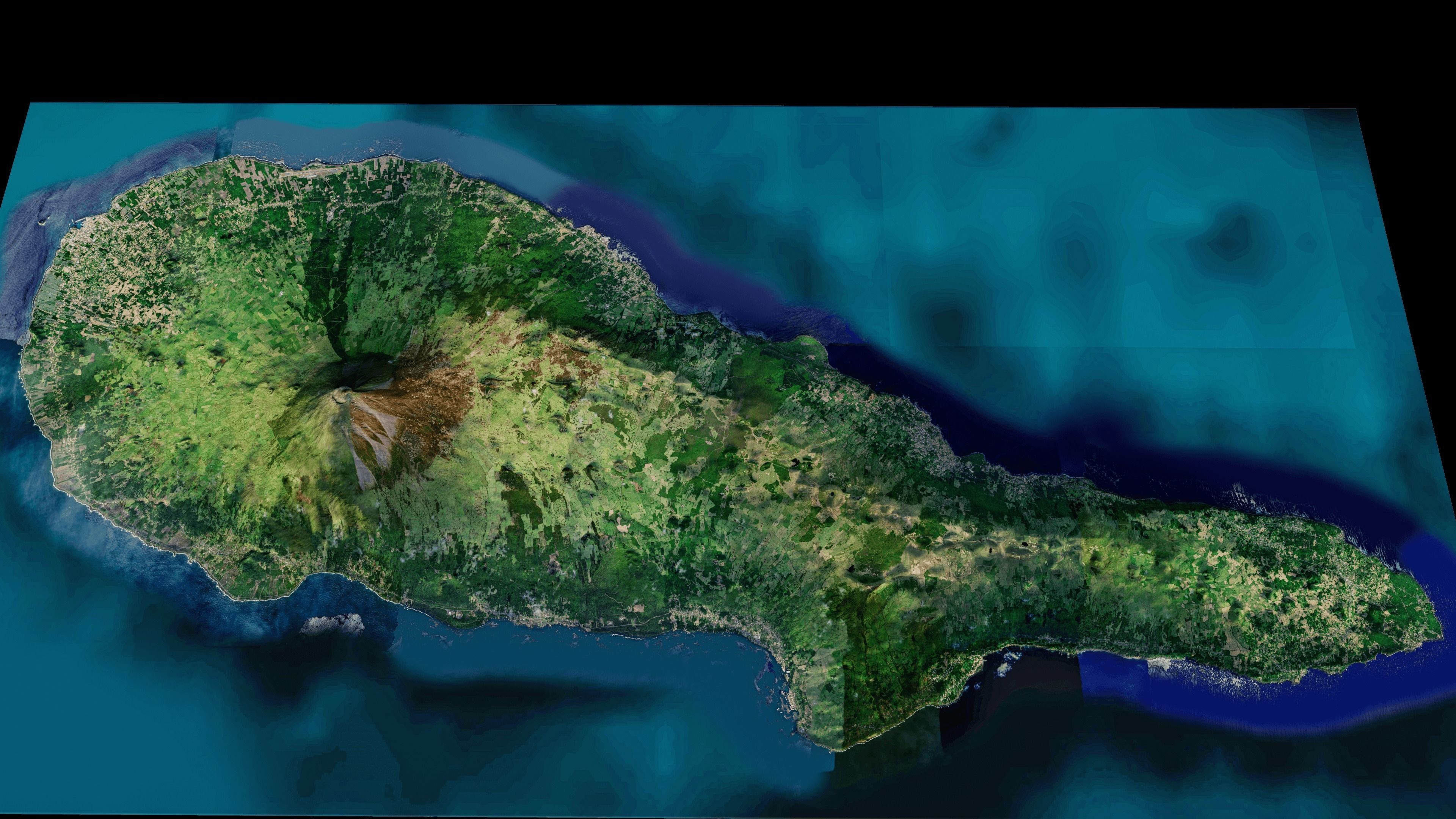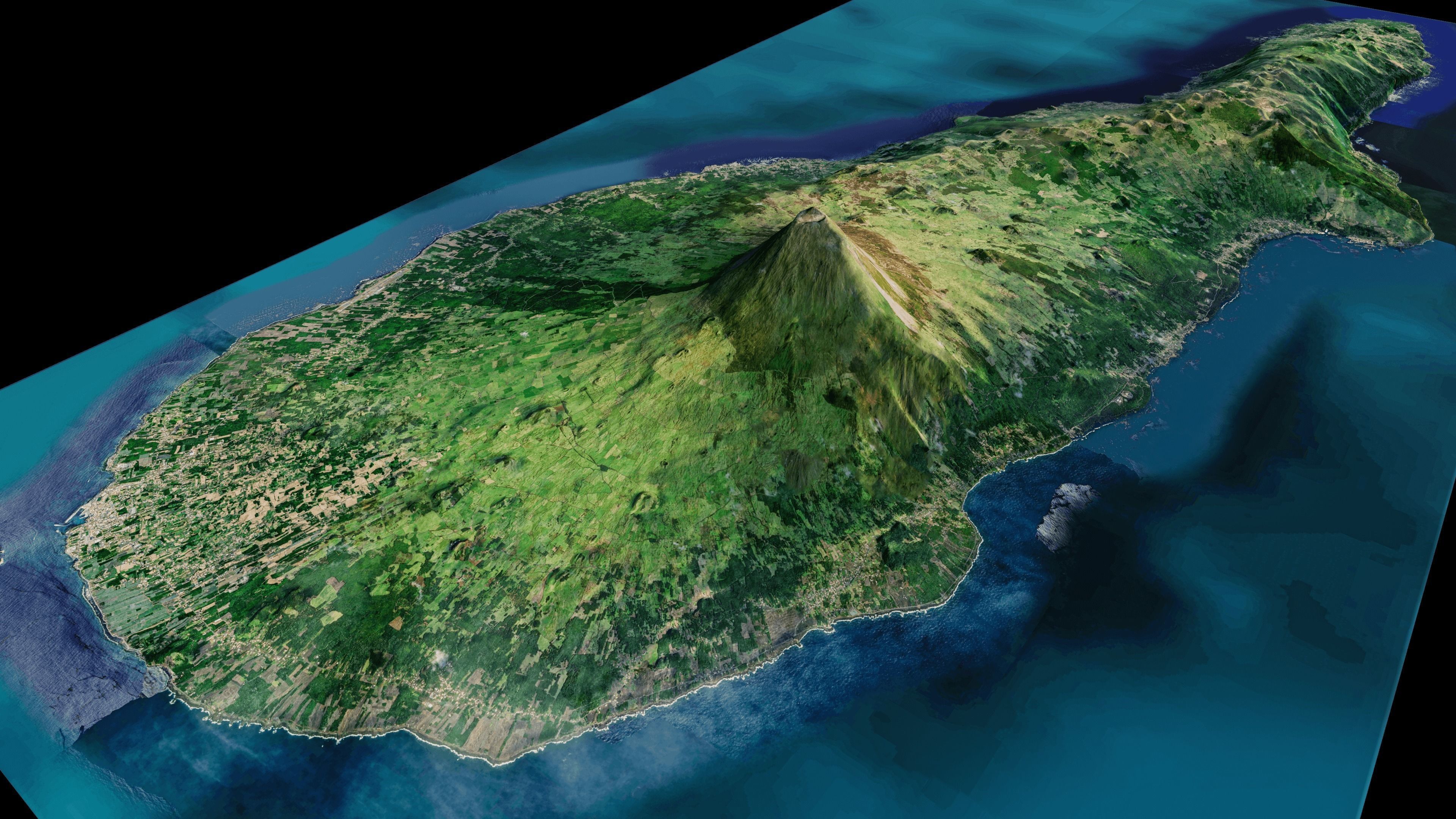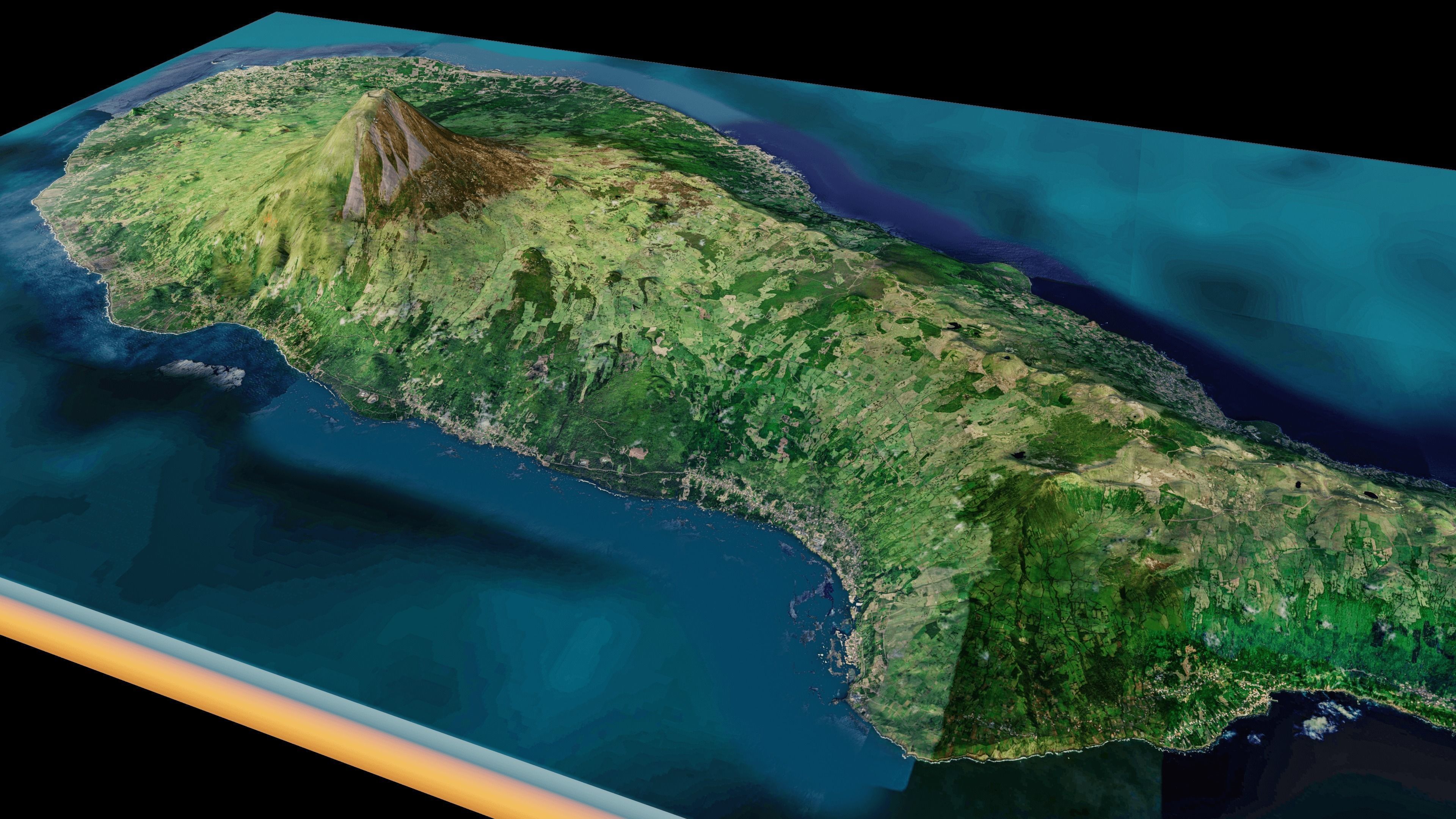
Pico Island 3D model
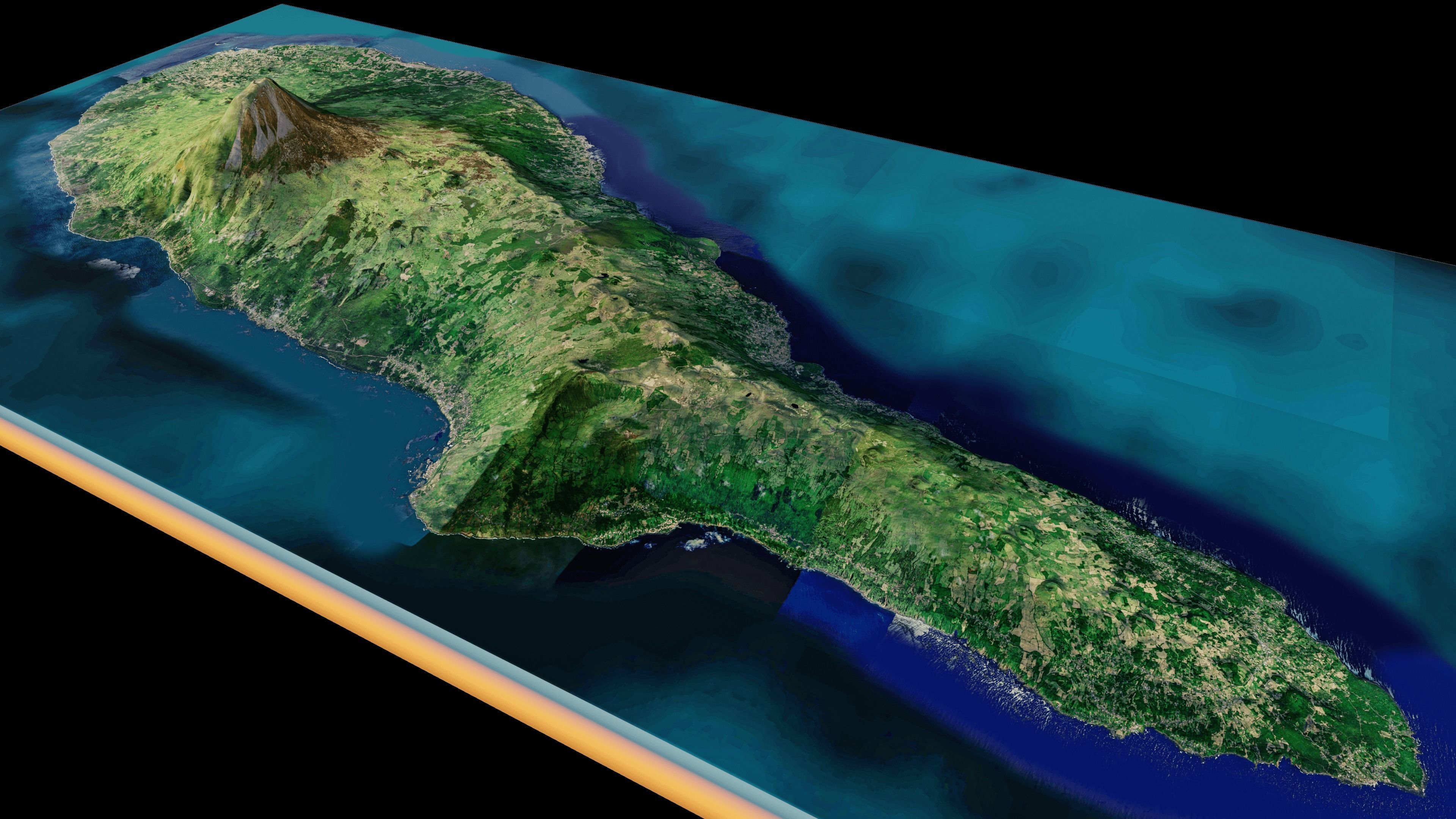
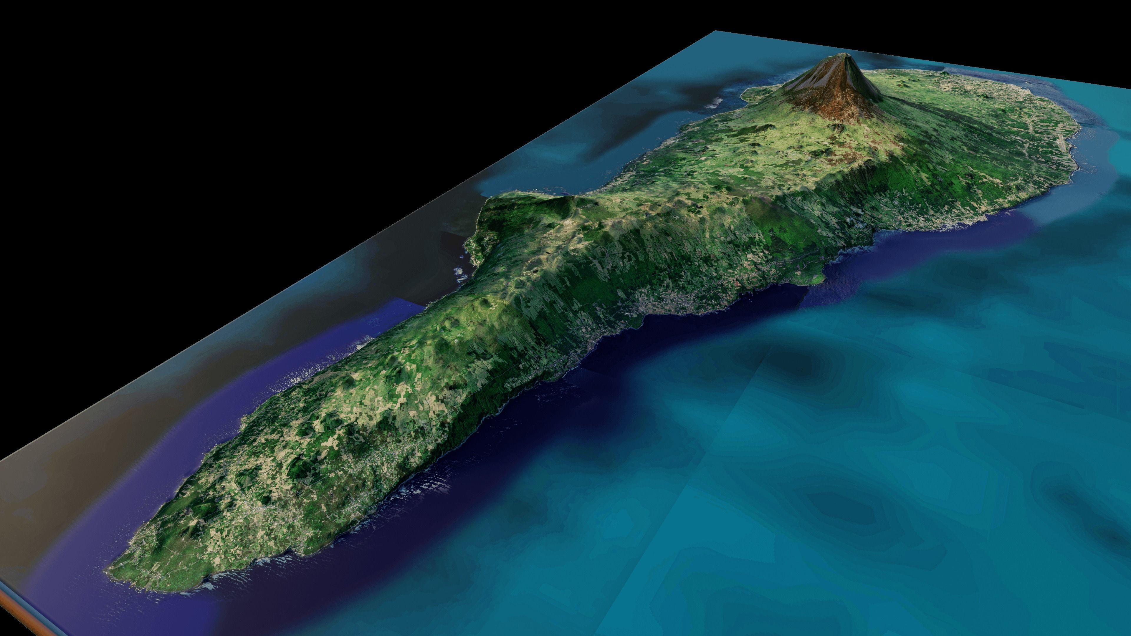
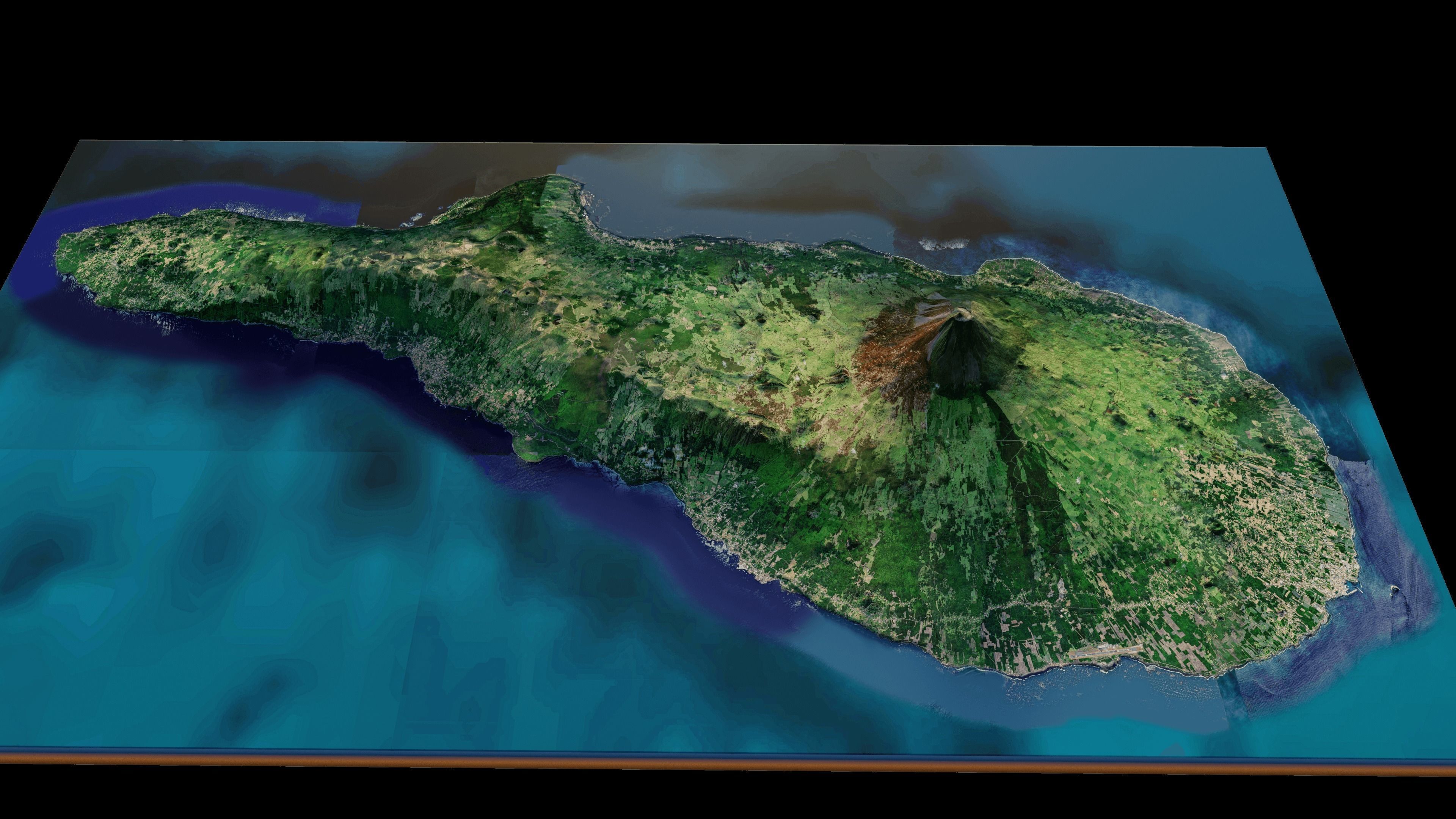
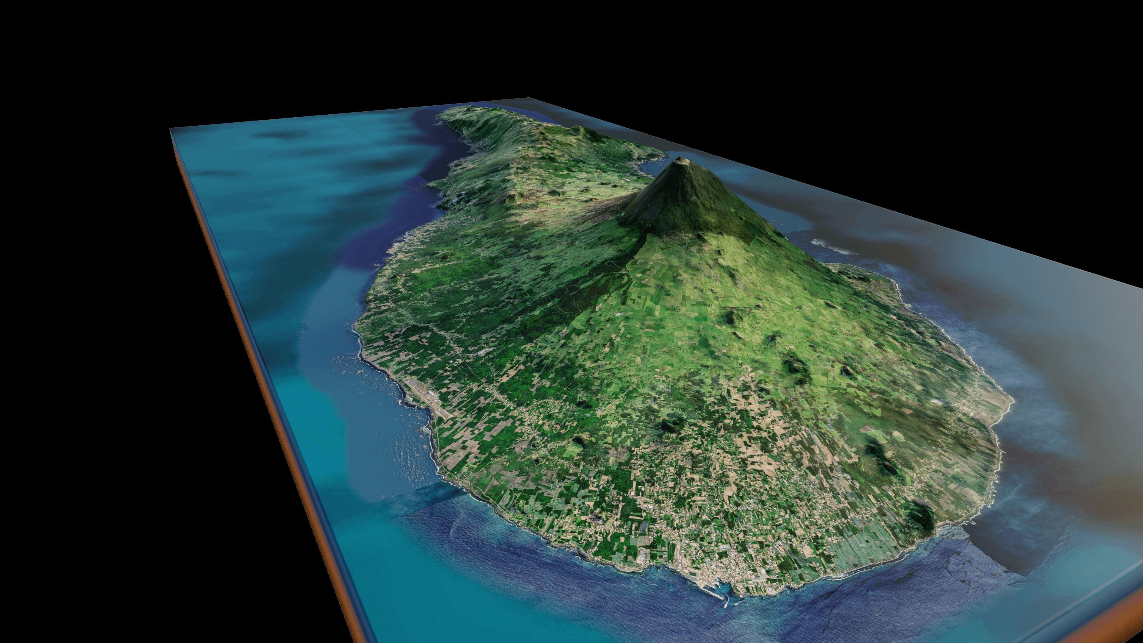
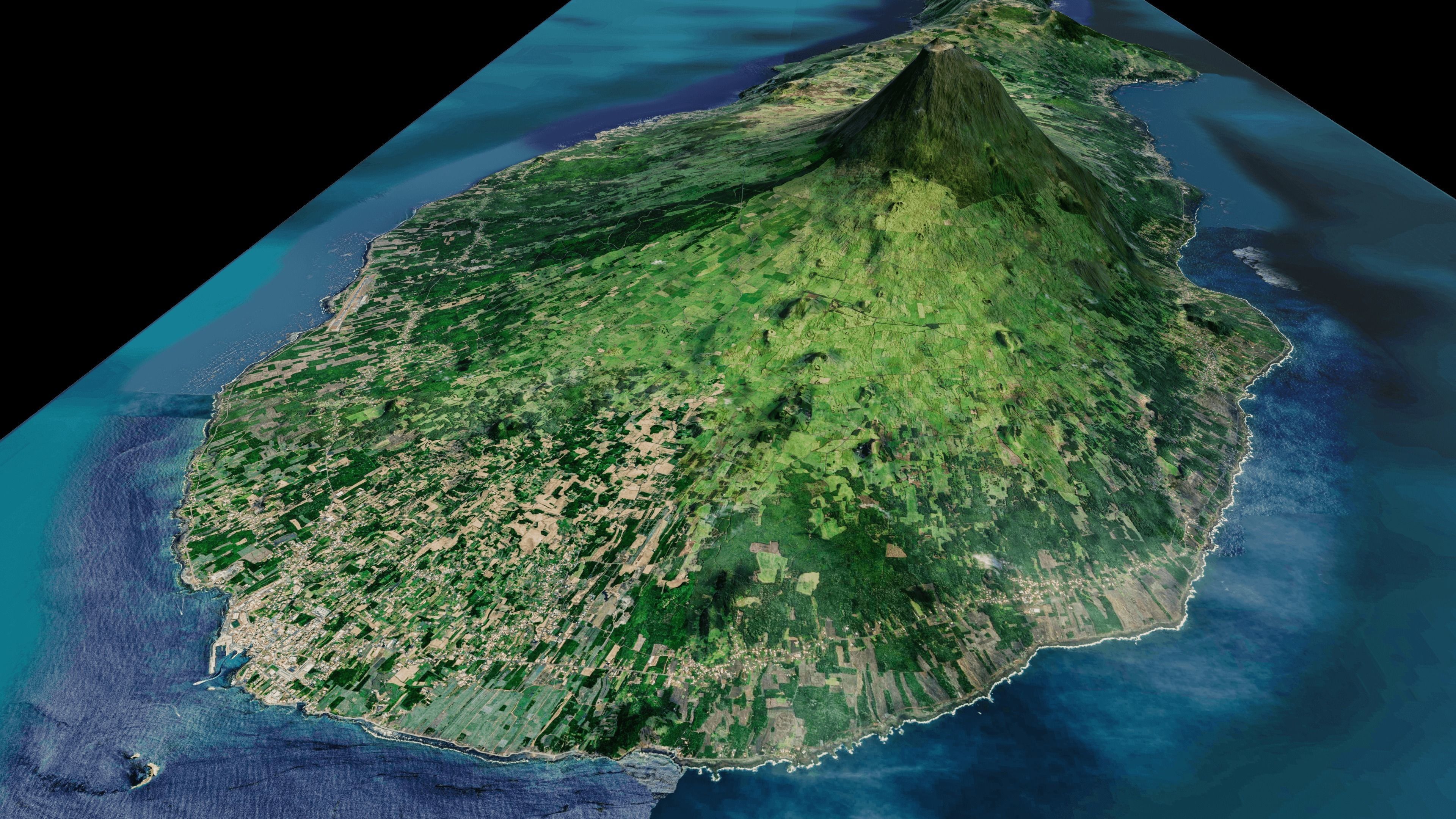
Pico Island 3d Model Terrain. 3d model landscape of the Pico Island with its landscape of mountains, beaches and forests.
full 3d terrain model of Pico Island, Azores islands, Portugal.
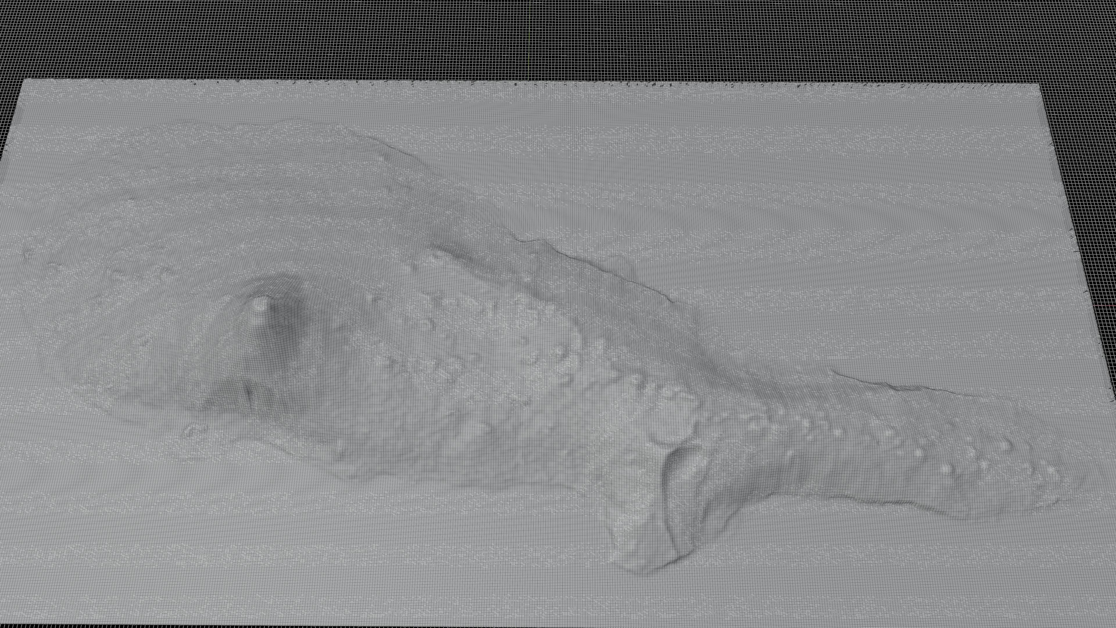
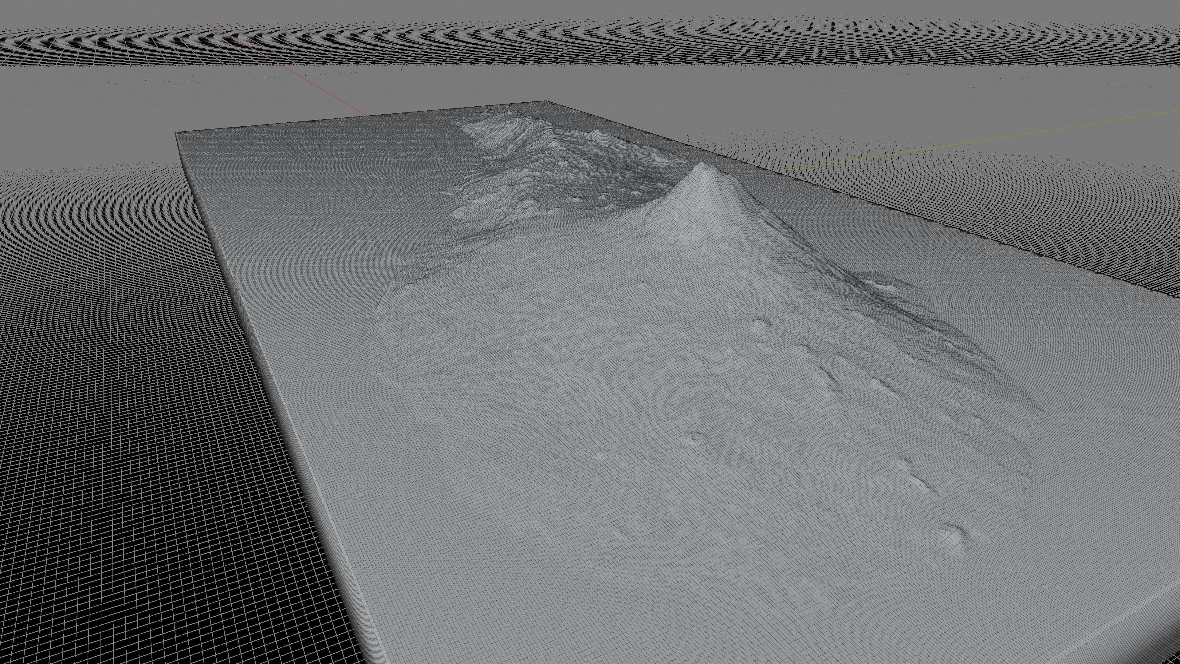
High Poly meshHigh detailed model
with 12K textures
- Diffuse map
- AO map
- Displacement map
- Normal map
- Roughness map
The Blend file do not require the displacement, but you can still use it if you want to create other island model yourself
Texture example from the Pico Island, Azores islands, Portugal. Pico Island is an island in the Central Group of the Portuguese Azores. The landscape features an eponymous volcano, Ponta do Pico, which is the highest mountain in Portugal, the Azores, and the highest elevation of the Mid-Atlantic Ridge. Pico is referred to as the Ilha Preta (Black Island), for its black volcanic soils, which nourish its UNESCO-designated vineyards that once allowed the development of the island's economy

