Similar free VR / AR / Low poly 3D Models


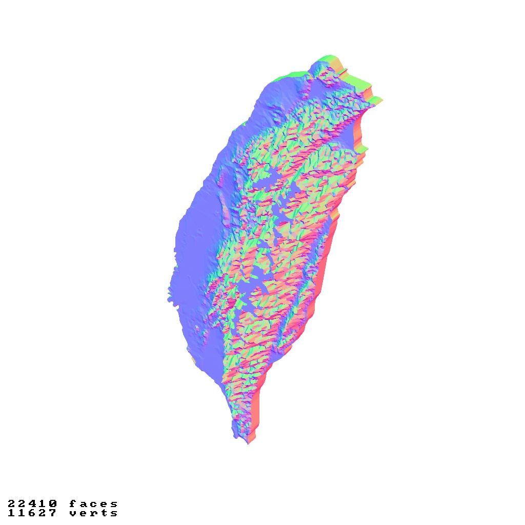

Taiwan island topography relief maps Free low-poly 3D print model
Taiwan relief maps / geography kit
Some of the mountain tops are truncated
Includes several models:
a cutout with exaggerated terrain / topography [Mercator-projection-distorted version + undistorted version]
simplified version(s) with reduced polygon counts via quadratic decimation
non-cutout versions of the tolopgy [Mercator-projection-distorted version + undistorted version]
a simple 'prism' [flat-surfaced cutout of the boundaries with no topology features added]
'expanded' version which is a convex hull of the prism. You can use this as a 'base' to stabilize the model to avoid problems with small details breaking off if you try to 3d print it.
includes STL and OBJ formats. non-textured.
~~~~~~~~~~~~~~~~~~~~~~~~~~~~~~~~~~~~~~~~~~
臺灣地形圖 / 地理套件
部分山頂被截斷
包含多個模型:
誇張地形 / 地形學特徵的剪裁版 [麥卡托投影失真版 + 未失真版]
通過四邊形簡化減少多邊形數量的簡化版本
地形學特徵的非剪裁版本 [麥卡托投影失真版 + 未失真版]
簡單的「棱柱」[無地形學特徵的平面邊界剪裁]
棱柱的凸包「擴展」版本。可用作「基座」以穩定模型,避免3D列印時小細節斷裂的問題。
包含STL和OBJ格式。無紋理。
Similar free VR / AR / Low poly 3D Models
