DESCRIPTION

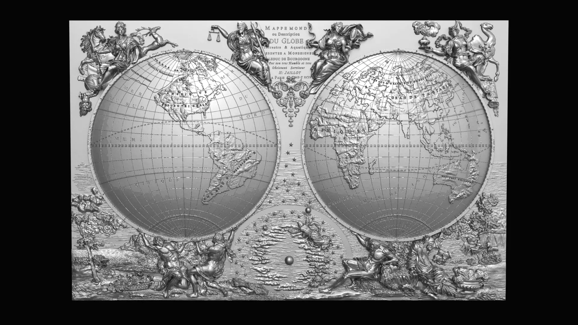
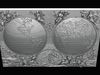
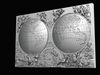
3d model for CNCMappe mondi ou description du globe terrestre & aquatique suivant les Dernieres & Meilleures. A Amsterdam. Chés J. B. Elwe. MDCCXCII.

World map, in circular format, featuring both the Western and Eastern Hemispheres. Shows continents, countries, cities, topography, bodies of water, drainage, coastlines and islands. Relief shown pictorially. Includes latitudinal and longitudinal lines. With vignettes of figures, fauna and flora in the margins.California with a deeply indented northern coastline labeled Isle de Californie, with numerous place names noted. Map surrounded by eight figures. The four above the hemispheres represent the arts and government. The four below represent the continents.

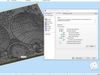
Size easily scalable

REVIEWS & COMMENTS

See what other buyers think about this model - real feedback on quality,
accuracy, and usability.
zi
zibkeBuyer of this model
This user has purchased this specific model
The buyer left positive feedback on this model

MAPPE MONDE 3D print model

Royalty Free License
Hire
Like this model to show appreciation to the designer.
See how many times this model was viewed.
Share this model to support the designer and boost their visibility.
File formats
STL
Stereolithography<br />File Size: 139 MB
OBJ
OBJ<br />File Size: 116 MB
FBX
Autodesk FBX<br />File Size: 91.9 MB
Provided by designer
Information and details shared directly by the model's designer.
3D printing
Indicates whether the designer marked this model as suitable for 3D printing.
Model is prepared for 3D printing
The designer indicates this model is prepared for physical 3D printing and includes printable file formats.
Units
Publish date
Model ID
Chat