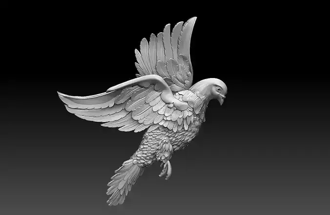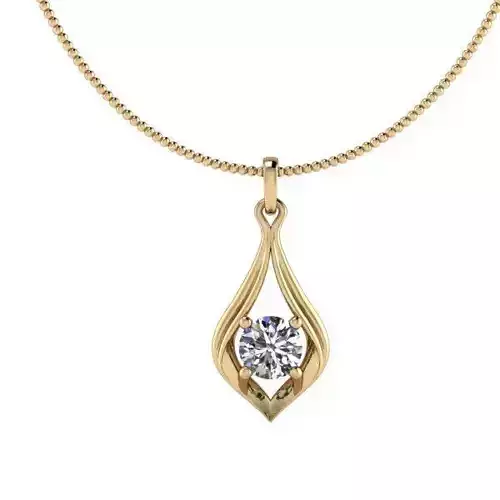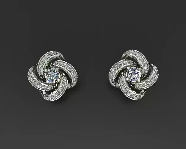

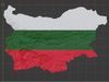
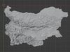

3D printing
Indicates whether the designer marked this model as suitable for 3D printing.
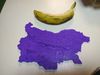
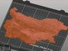
Model is prepared for 3D printing
The designer indicates this model is prepared for physical 3D printing and includes printable file formats.
Units
Millimeters
Publish date
2022-03-28
Model ID
#3668240