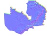
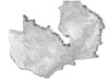
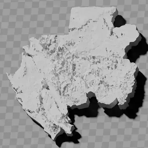
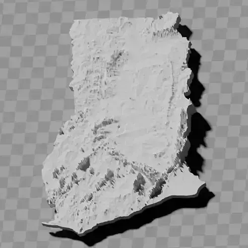
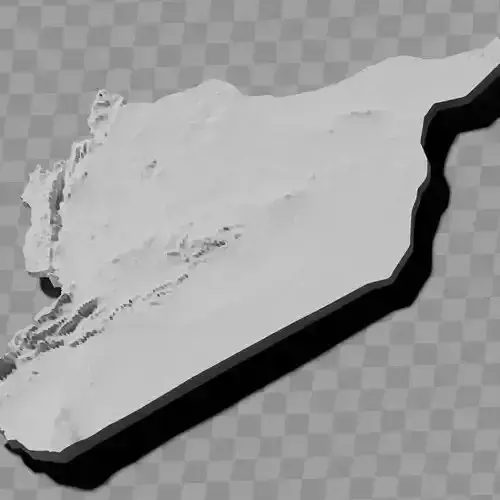
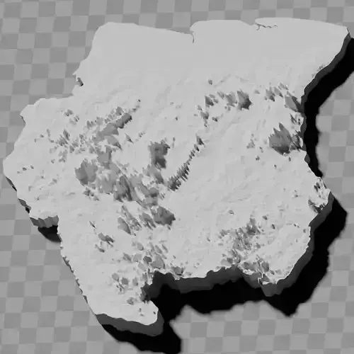
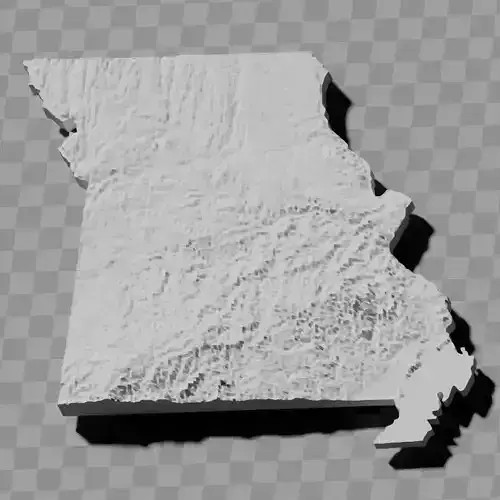
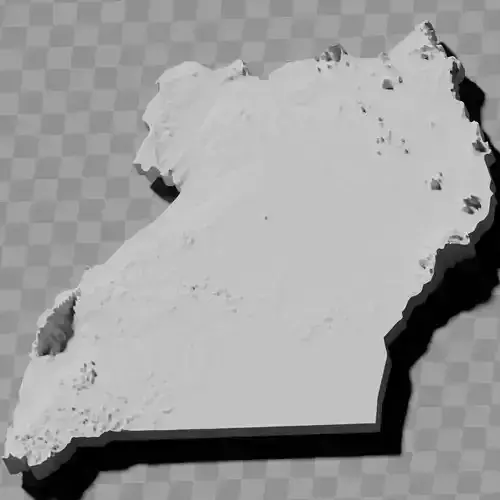
Zambia country topography height maps relief maps collection / geography kit
Includes several models:
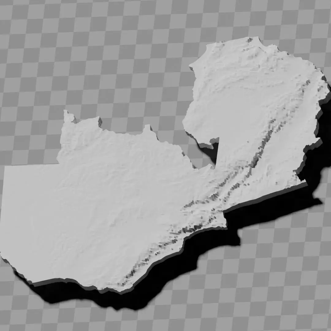
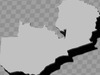
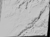
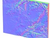
a cutout with exaggerated terrain / topography [Mercator-projection-distorted version + undistorted version]
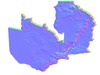
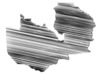
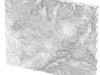
simplified version(s) with reduced polygon counts via quadratic decimation
non-cutout versions of the tolopgy [Mercator-projection-distorted version + undistorted version]
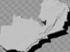
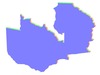
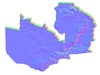
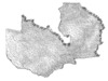
a simple 'prism' [flat-surfaced cutout of the country's boundaries with no topography features added]
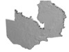
'expanded' version which is a convex hull of the prism. You can use this as a 'base' to stabilize the model to avoid problems with small details breaking off if you try to 3d print it.
includes STL and OBJ formats. non-textured.
~~~~~~~~~~~~~~~~~~~~~~~~~~~~~~~~~~~~~~~~~~
Zambia ikolekishini yama mapu ya kundundumuka kwa nthaka / mapu ya malire / kupangidwa kwa dziko
Ikuphatikizapo mitundu yosiyanasiyana:
kusema kwa nthaka/kupangidwa kwa dziko kolimba kwambiri [mtundu wosokonezeka wa Mercator-projection + mtundu wosakhala wosokonezeka]
mtundu wopepuka (kapena mitundu) ndi kuchepetsedwa kwa magawo kudzera mu kuchotsedwa kwa quadratic
mitundu yosakhala yosemedwa ya kupangidwa kwa dziko [mtundu wosokonezeka wa Mercator-projection + mtundu wosakhala wosokonezeka]
'prism' wophweka [chidindo cha malire a dziko chokhala ndi nthaka yosalala popanda zinthuzinthu za kupangidwa kwa dziko]
mtundu 'wokulitsidwa' umene ndi convex hull ya prism. Mutha kugwiritsa ntchito izi ngati 'maziko' kuti mukhazikitse modelu kuti mupewe mavuto a zinthu zazing'ono kuwonongeka ngati muyesa ku 3d print.
ikuphatikizapo mafomu a STL ndi OBJ. opanda texture.