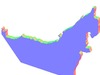
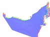
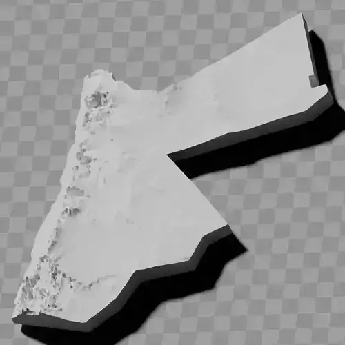
UAE United Arab Emirates topographic raised relief map collection / geography kit / height maps
Includes several models:
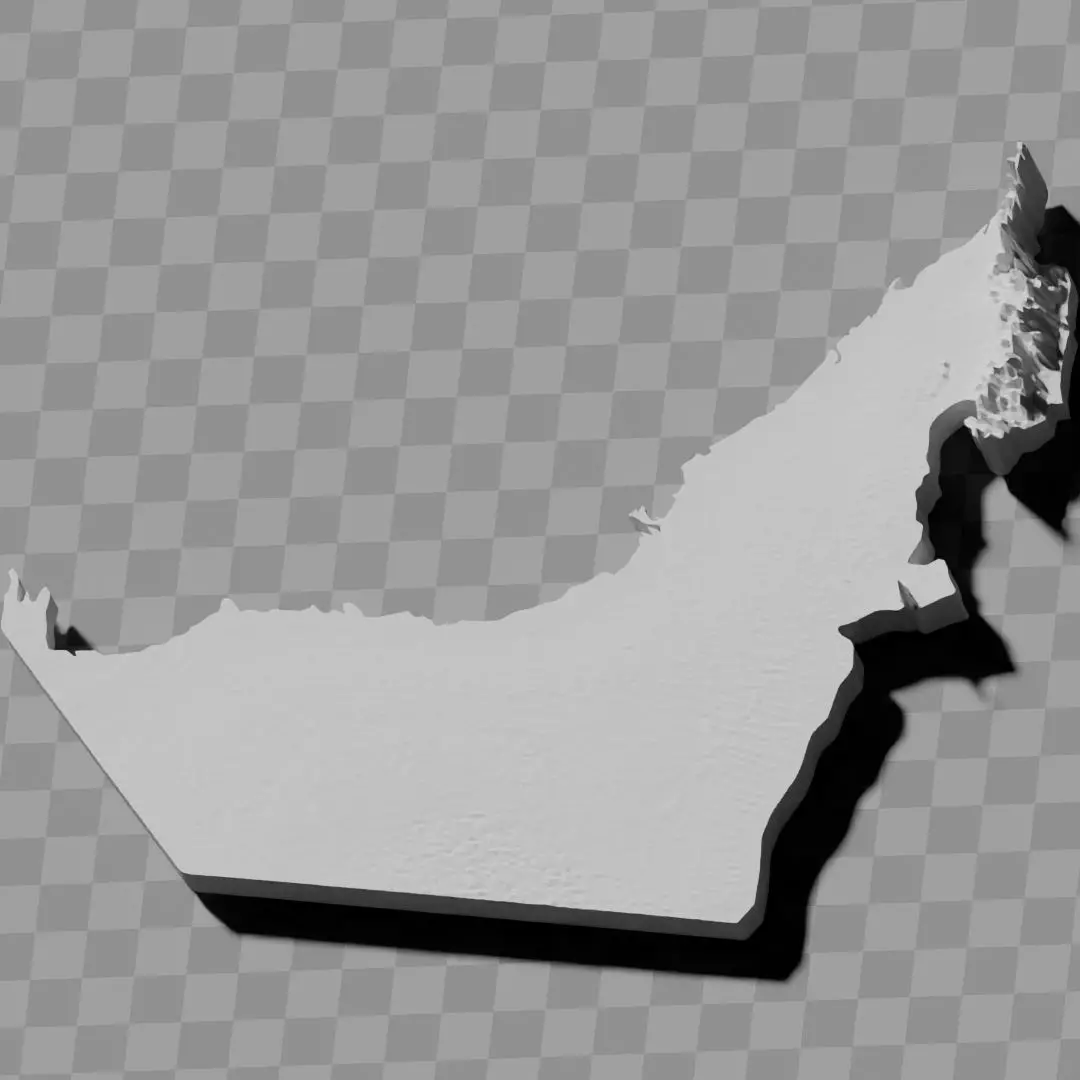
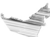
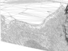
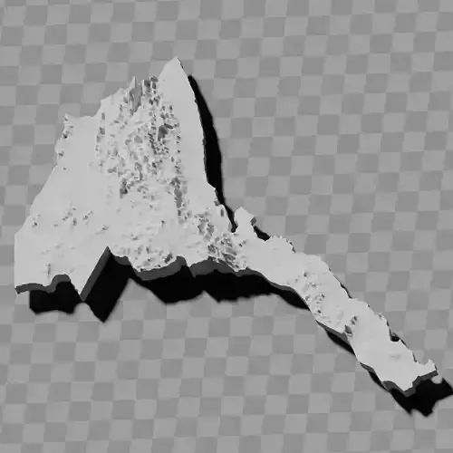
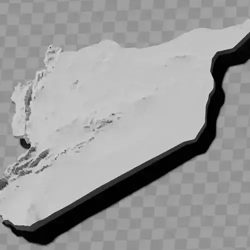
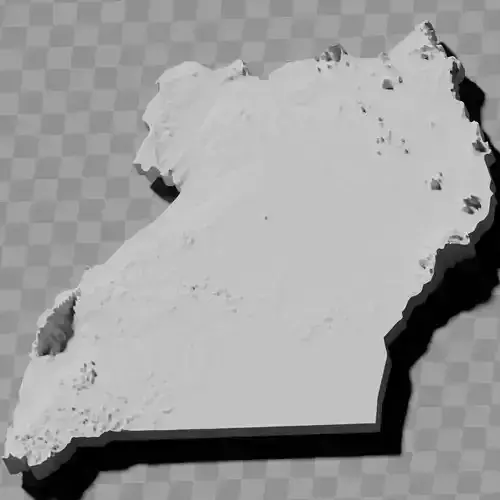
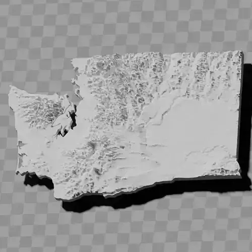
a cutout with exaggerated terrain / topography [Mercator-projection-distorted version + undistorted version]
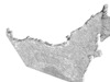
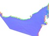
simplified version(s) with reduced polygon counts via quadratic decimation
non-cutout versions of the tolopgy [Mercator-projection-distorted version + undistorted version]
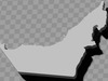
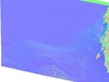
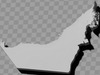
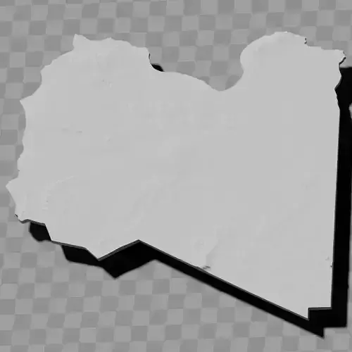
a simple 'prism' [flat-surfaced cutout of the country's boundaries with no topology features added]
'expanded' version which is a convex hull of the prism. You can use this as a 'base' to stabilize the model to avoid problems with small details breaking off if you try to 3d print it.
includes STL and OBJ formats. non-textured.
~~~~~~~~~~~~~~~~~~~~~~~~~~~~~~~~~~~~~~~~~~
مجموعة خرائط التضاريس البارزة لدولة الإمارات العربية المتحدة / حقيبة الجغرافيا / خرائط الارتفاع
تتضمن عدة نماذج:
قطع مع تضاريس / طبوغرافيا مبالغ فيها [نسخة مشوهة بإسقاط ميركاتور + نسخة غير مشوهة]
نسخة (نسخ) مبسطة مع عدد أقل من المضلعات عبر التقليل التربيعي
نسخ غير مقطوعة من الطبوغرافيا [نسخة مشوهة بإسقاط ميركاتور + نسخة غير مشوهة]
منشور بسيط [قطع بسطح مسطح لحدود الدولة بدون إضافة ميزات طبوغرافية]
نسخة موسعة وهي الغلاف المحدب للمنشور. يمكنك استخدامها كـ قاعدة لتثبيت النموذج لتجنب مشاكل انكسار التفاصيل الصغيرة إذا حاولت طباعتها ثلاثية الأبعاد.
يتضمن صيغ STL و OBJ. بدون نسيج.