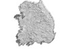
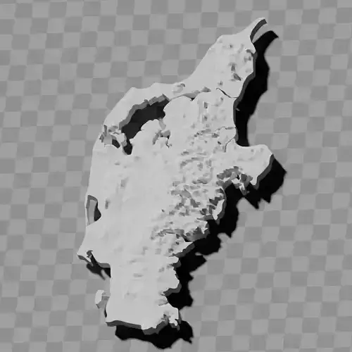
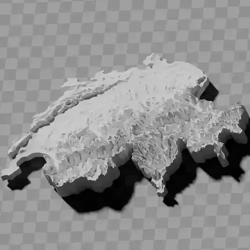
South Korea topographic relief map collection / geography kit
Includes several models:
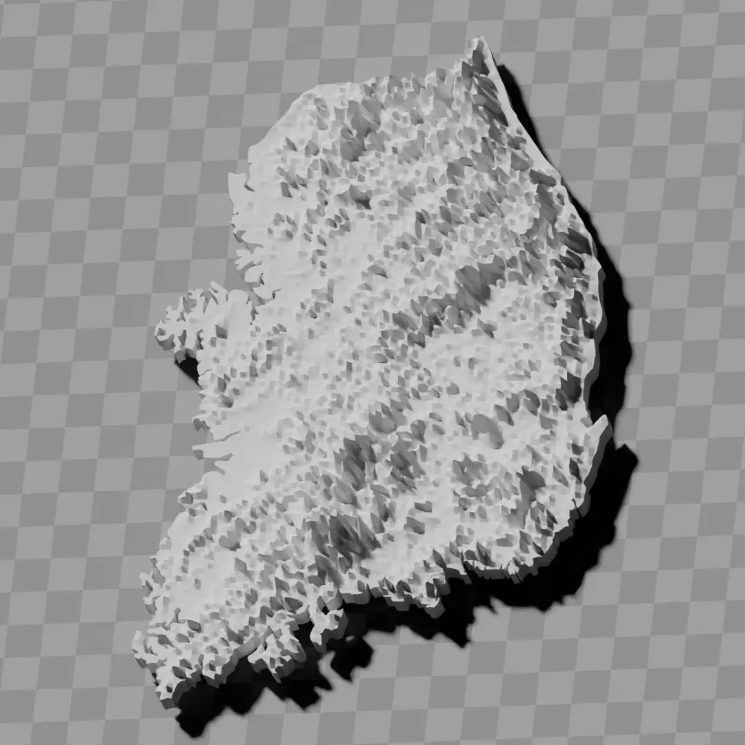
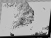
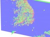
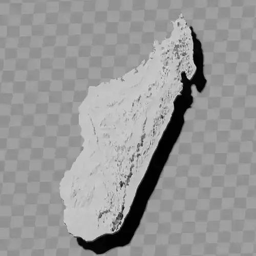
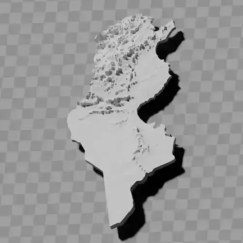
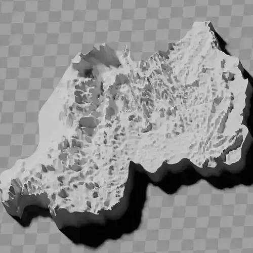
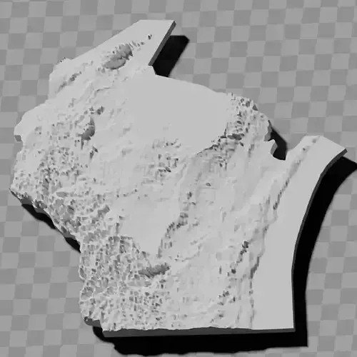
a cutout with exaggerated terrain / topography [Mercator-projection-distorted version + undistorted version]
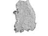
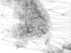
simplified version(s) with reduced polygon counts via quadratic decimation
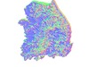
non-cutout versions of the tolopgy [Mercator-projection-distorted version + undistorted version]
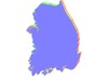
a simple 'prism' [flat-surfaced cutout of the country's boundaries with no topology features added]
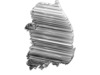
'expanded' version which is a convex hull of the prism. You can use this as a 'base' to stabilize the model to avoid problems with small details breaking off if you try to 3d print it.
includes STL and OBJ formats. non-textured.
~~~~~~~~~~~~~~~~~~~~~~~~~~~~~~~~~~~~~~~~~~
대한민국 지형 기복도 컬렉션 / 지리 키트
여러 모델 포함:
과장된 지형 / 지형학적 특징이 있는 컷아웃 [메르카토르 도법으로 왜곡된 버전 + 왜곡되지 않은 버전]
4각형 축소를 통해 폴리곤 수를 줄인 단순화된 버전(들)
지형학적 특징이 있는 비컷아웃 버전 [메르카토르 도법으로 왜곡된 버전 + 왜곡되지 않은 버전]
간단한 '프리즘' [지형학적 특징이 추가되지 않은 국가 경계의 평평한 표면 컷아웃]
프리즘의 볼록 껍질인 '확장' 버전. 3D 프린팅 시 작은 세부 사항이 깨지는 문제를 피하기 위해 모델을 안정화하는 '베이스'로 사용 가능.
STL 및 OBJ 형식 포함. 텍스처 없음.