Kuwait topography relief map collection Low-poly 3D print model
Kuwait terrain / geography kit
Includes several models:
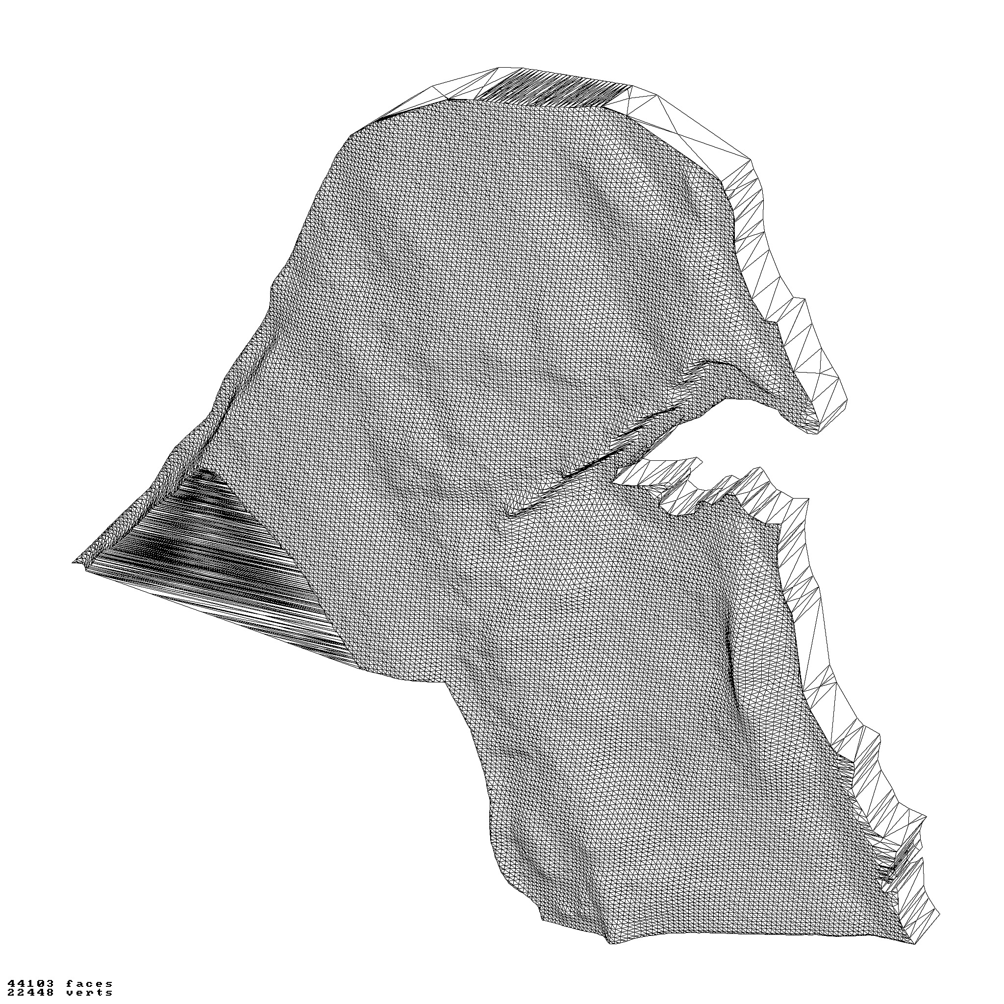
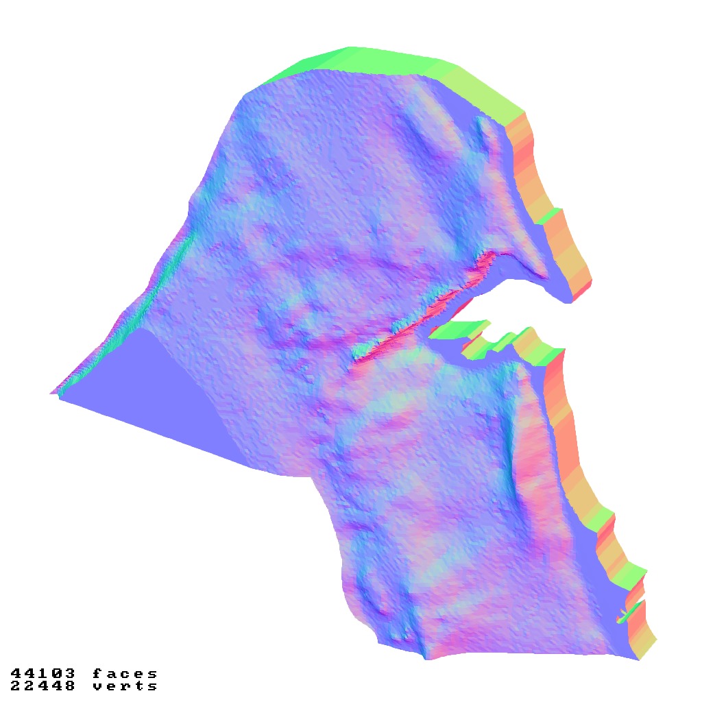
a cutout with exaggerated terrain / topography [Mercator-projection-distorted version + undistorted version]
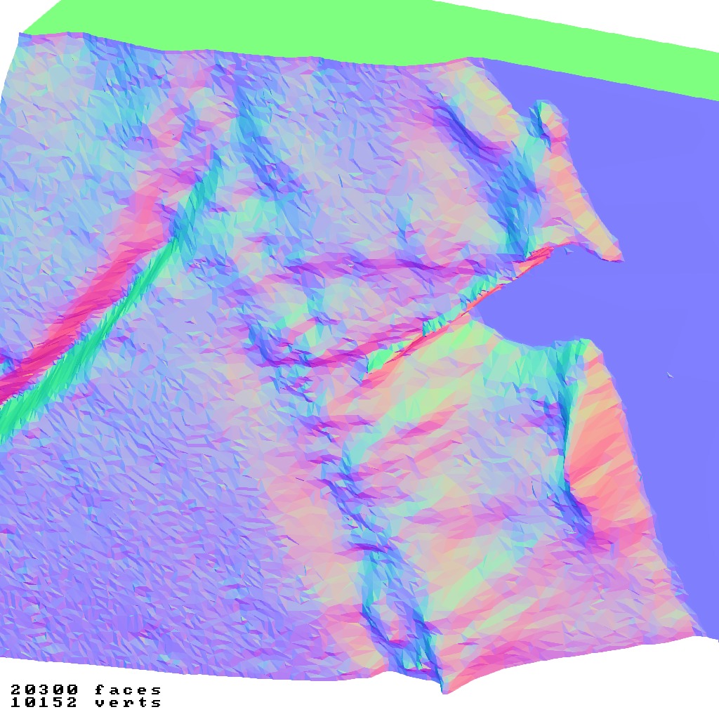
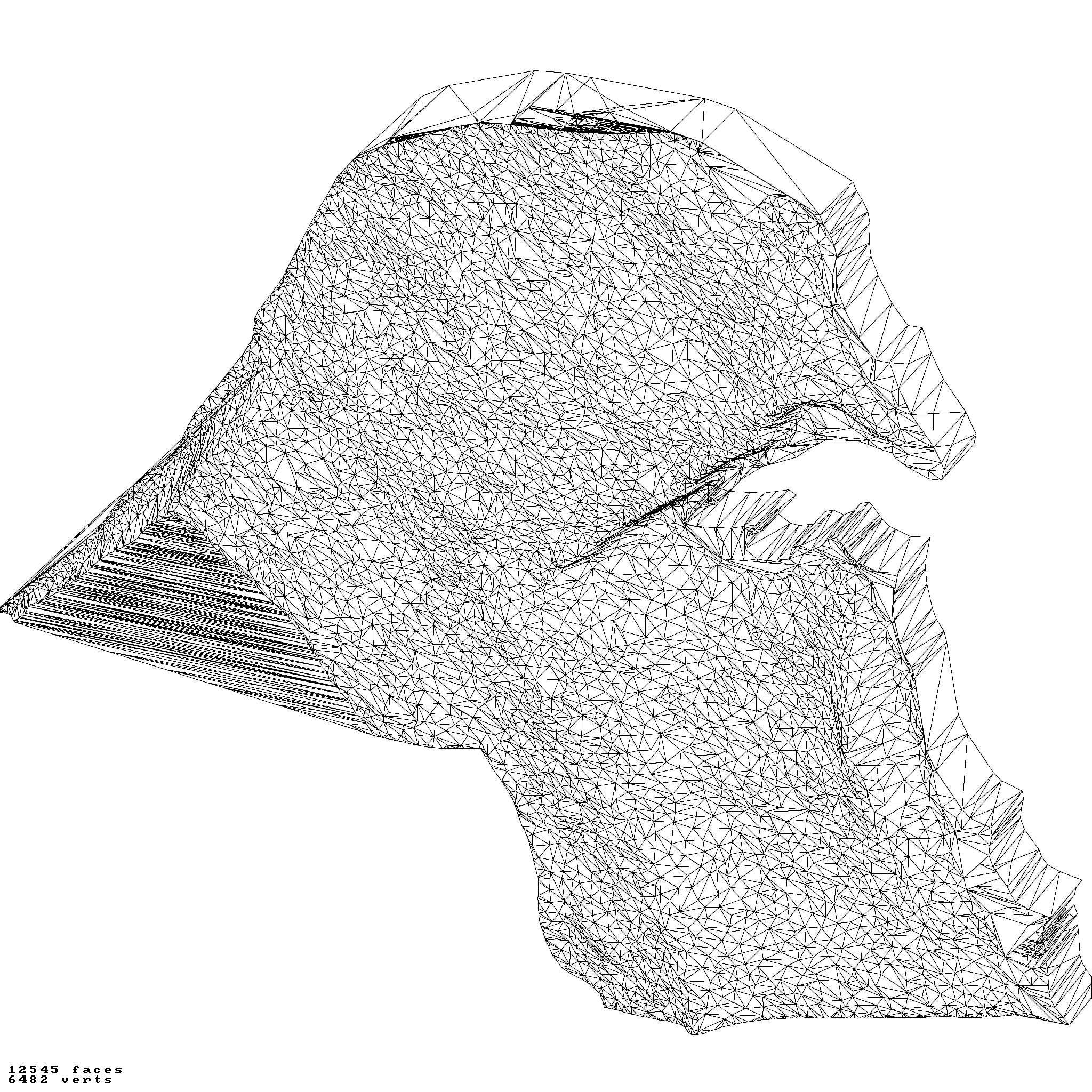
simplified version(s) with reduced polygon counts via quadratic decimation
non-cutout versions of the tolopgy [Mercator-projection-distorted version + undistorted version]
a simple 'prism' [flat-surfaced cutout of the country's boundaries with no topology features added]
'expanded' version which is a convex hull of the prism. You can use this as a 'base' to stabilize the model to avoid problems with small details breaking off if you try to 3d print it.
includes STL and OBJ formats. non-textured.
~~~~~~~~~~~~~~~~~~~~~~~~~~~~~~~~~~~~~~~~~~
مجموعة تضاريس / جغرافيا الكويت
تتضمن عدة نماذج:
قطع مع تضاريس / طوبوغرافيا مبالغ فيها [نسخة مشوهة بإسقاط ميركاتور + نسخة غير مشوهة]
إصدار (إصدارات) مبسطة بعدد مضلعات مخفض عبر التقليل التربيعي
إصدارات غير مقطوعة من الطوبولوجيا [نسخة مشوهة بإسقاط ميركاتور + نسخة غير مشوهة]
منشور بسيط [قطع مسطح السطح لحدود البلاد بدون إضافة ميزات طوبولوجية]
نسخة موسعة وهي الغلاف المحدب للمنشور. يمكنك استخدام هذا كـ قاعدة لتحقيق الاستقرار للنموذج لتجنب مشاكل انكسار التفاصيل الصغيرة إذا حاولت طباعته ثلاثية الأبعاد.
يتضمن تنسيقات STL و OBJ. بدون نسيج.


