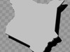
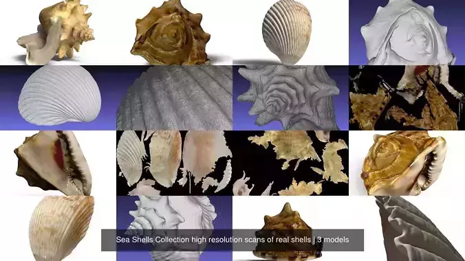
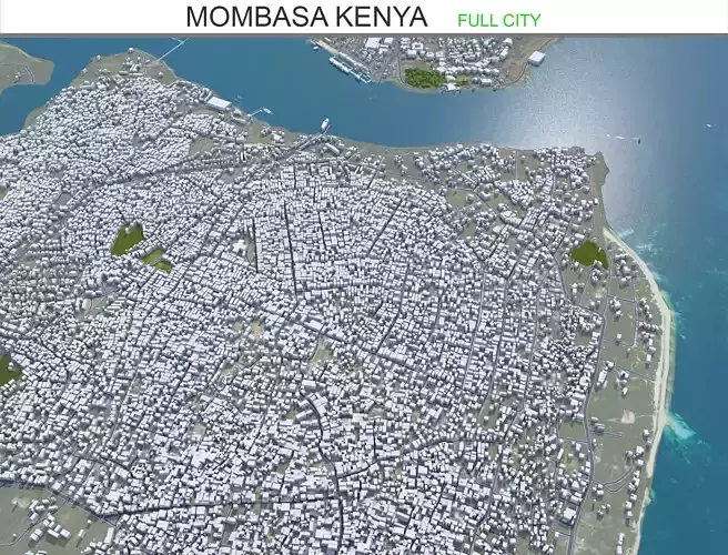
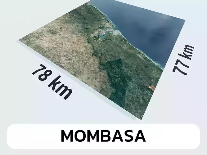
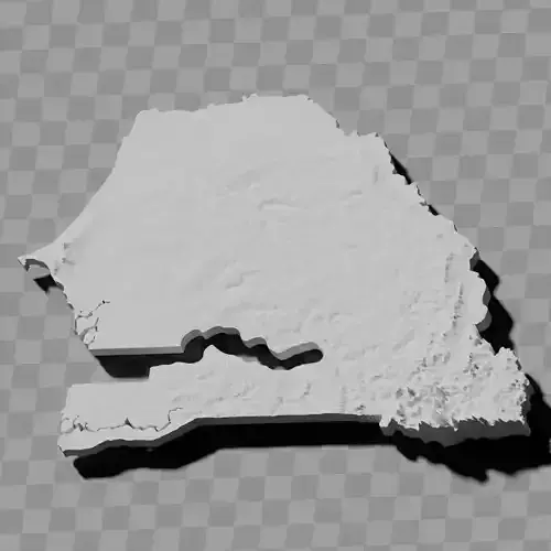
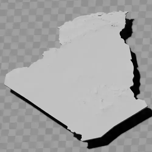
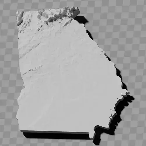
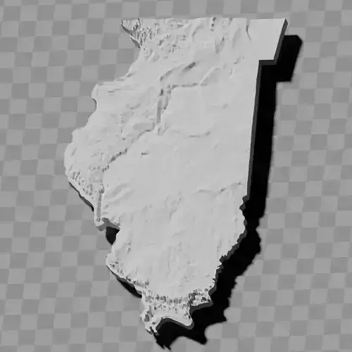
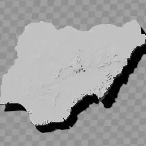
Kenya relief maps topography collection / geography kit
Includes several models:
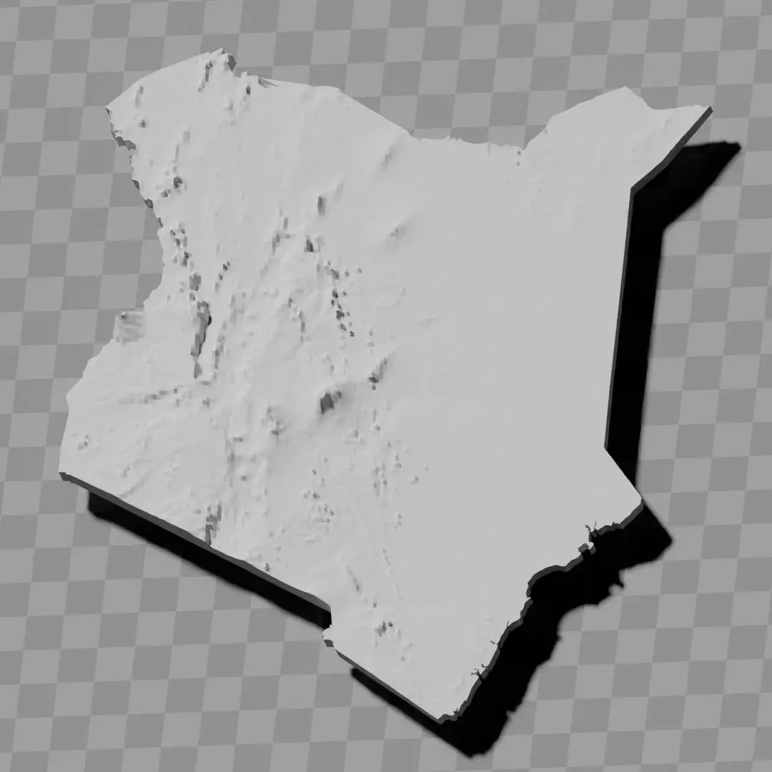
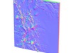
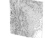
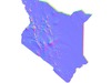
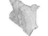
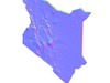
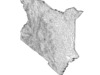
a cutout with exaggerated terrain / topography [Mercator-projection-distorted version + undistorted version]
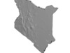
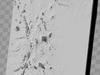
simplified version(s) with reduced polygon counts via quadratic decimation
non-cutout versions of the tolopgy [Mercator-projection-distorted version + undistorted version]
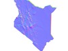
a simple 'prism' [flat-surfaced cutout of the country's boundaries with no topography features added]
'expanded' version which is a convex hull of the prism. You can use this as a 'base' to stabilize the model to avoid problems with small details breaking off if you try to 3d print it.
includes STL and OBJ formats. non-textured.
~~~~~~~~~~~~~~~~~~~~~~~~~~~~~~~~~~~~~~~~~~
Mkusanyiko wa ramani za reliefu na topografia ya Kenya / kifaa cha jiografia
Inajumuisha miundo kadhaa:
mchoro wenye kutia chumvi sura ya nchi / topografia [toleo lililopindishwa na projeksheni ya Mercator + toleo lisilokuwa na upotoshaji]
toleo rahisishwa (au matoleo) yenye idadi ndogo ya poligoni kupitia urahisishaji wa nne
matoleo yasiyo na mchoro ya topografia [toleo lililopindishwa na projeksheni ya Mercator + toleo lisilokuwa na upotoshaji]
'prismu' rahisi [mchoro wa mipaka ya nchi wenye uso tambarare bila kuongeza sifa za topografia]
toleo 'lililotanuka' ambalo ni ganda mbwembwe la prismu. Unaweza kutumia hii kama 'msingi' kuimarisha muundo ili kuepuka matatizo ya vipengele vidogo kuvunjika ukijaribu kuichapisha 3D
inajumuisha muundo wa STL na OBJ. haina tekstha.