H
henry-keyser
When it says all 50 states, you expect them to be separate parts. Also, some of the formats are unusable. The FBX format is so old it won't even open in Blender.


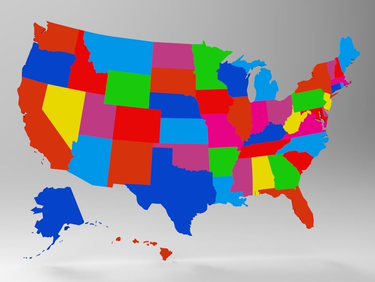
Model of 3d USA Map With All 50 States
-ALL States are Different Objects-Include Alaska and Hawaii
America 3D model
Formats- Obj+Mtl Dwf Fbx Dwg Zpr Stl Bip
The U.S. is a country of 50 states covering a vast swath of North America, with Alaska in the northwest and Hawaii extending the nation’s presence into the Pacific Ocean. Major Atlantic Coast cities are New York, a global finance and culture center, and capital Washington, DC. Midwestern metropolis Chicago is known for influential architecture and on the west coast, Los Angeles' Hollywood is famed for filmmaking.
Download our free sample USA's Maphttps://www.cgtrader.com/free-3d-models/various/various-models/3d-usa-map-model-free