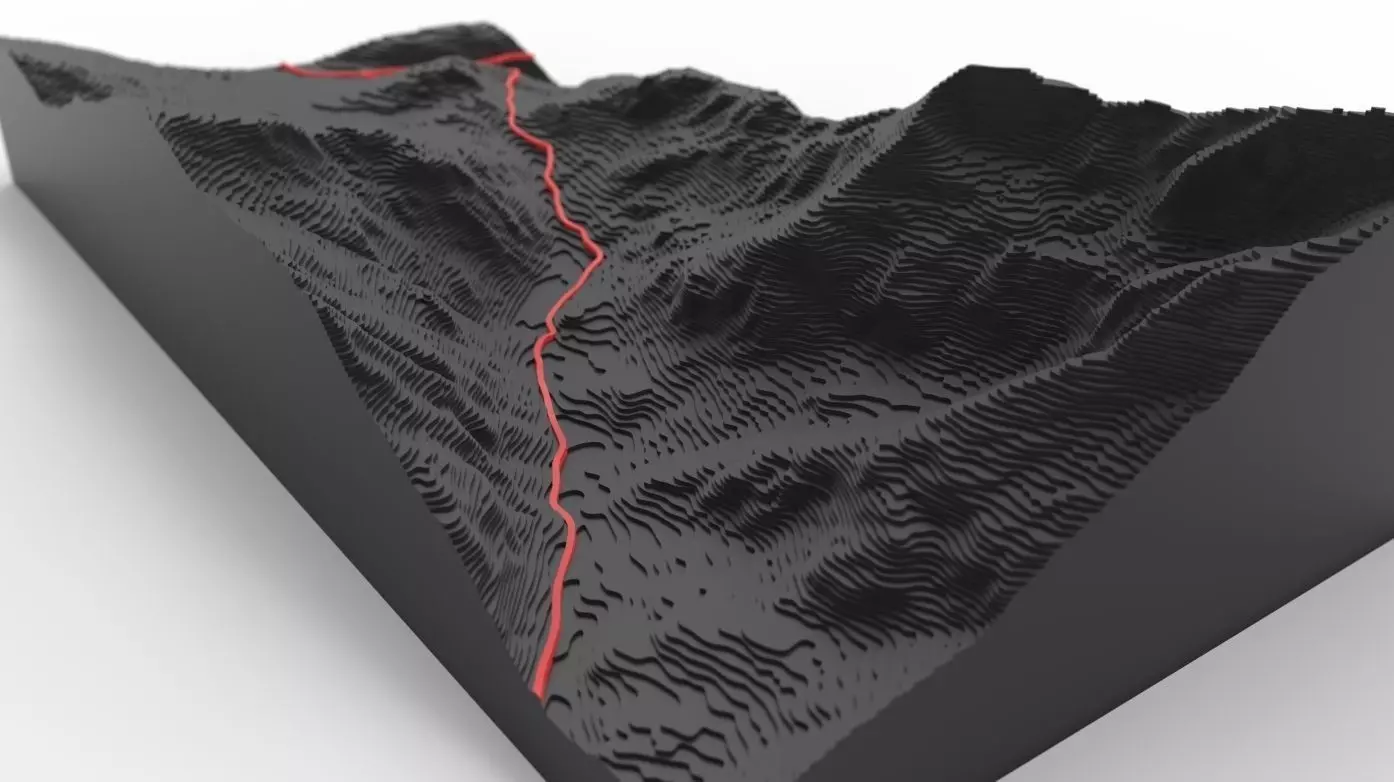
Llanberis Pass Topographical Map

Llanberis Pass Topographical Map 3D model

Description

This is a topography map model of the A4086 (Llanberis Pass) and the surrounding mountains in the Snowdonia National Park, Wales. Modelled in SolidWorks and rendered using Keyshot.

Made by drawing splines over contour lines on Ordnance Survey maps. Dimensions are reduced but to scale.

File formats: SLDPRT, STEP, STL, MAX, FBX, OBJ

Item rating
0 0
Llanberis Pass Topographical Map
$3.00
 
Royalty Free License 
Llanberis Pass Topographical Map
$3.00
 
Royalty Free License 
Response 58% in 23.1h
3D Modeling
Rendering

3D Model formats

Format limitations
Native
  • SolidWorks 2019 (.sldprt, .sldasm, .slddrw)39.8 MB
Exchange
  • OBJ (.obj, .mtl) (2 files)428 MB
  • Autodesk FBX (.fbx)103 MB
  • Stereolithography (.stl)201 MB
  • Autodesk 3ds Max (.max)427 MB

3D Model details

  • Ready for 3D Printing
  • Animated
  • Rigged
  • VR / AR / Low-poly
  • PBR
  • Geometry -
  • Polygons 0
  • Vertices 0
  • Textures
  • Materials
  • UV Mapping
  • Unwrapped UVs Unknown
  • Plugins used
  • Publish date2019-02-26
  • Model ID#1909424
Chat