Our website uses cookies to collect statistical visitor data and track interaction with direct marketing communication / improve our website and improve your browsing experience. Please see our Cookie Notice for more information about cookies, data they collect, who may access them, and your rights. Learn more
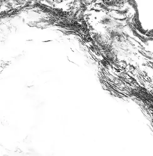
Iraq High resolution 16k cavity map

Iraq High resolution 16k cavity map Texture

Description

Iraq High resolution 16k cavity map

CountryMask = alpha for the country borders, countrySeaMask = all landmass in alpha.

In the files, LatLon means aligned to the following latitude/longitude coordinates :minimum Latitude :29.0maximum Latitude :38minimum Longitude :38.0maximum Longitude :49

iraq_cavity_3_preview0000.jpg - resolution : 803x983

iraq_cavity_2_preview0000.jpg - resolution : 803x983

iraq_render_countryMask_0__basecolor.0.exr - resolution : 15875x16230

iraq_cavity_1_preview0000.jpg - resolution : 803x983

iraq_cavity_0_preview0000.jpg - resolution : 803x983

iraq_render_countrySeaMask_0__basecolor.0.exr - resolution : 15875x16230

iraq_cavity_full0000.jpg - resolution : 15874x16230

iraq_cavity_full0000_thmb0000.jpg - resolution : 1002x1024

iraq_cavity0000.exr - resolution : 15874x16230

iraq_cavity_4_preview0000.jpg - resolution : 803x983

tags:heightmap earth longitude latitude world geomapping elevation elevationmap iraq

Item rating
0 0
Iraq High resolution 16k cavity map
$12.60
 
Royalty Free License 
Iraq High resolution 16k cavity map
$12.60
 
Royalty Free License 
Response 89% in 11.9h
3D Modeling
3D Print Modeling
Low-poly Modeling
Rendering
Rigging
Skinning
UV mapping
Texturing
Shaders
Post Production
3D Scanning
Animating

3D Model formats

Format limitations

    3D Model details

    • Ready for 3D Printing
    • Animated
    • Rigged
    • VR / AR / Low-poly
    • PBR
    • Geometry -
    • Polygons 0
    • Vertices 0
    • Textures
    • Materials
    • UV Mapping
    • Unwrapped UVs Unknown
    • Plugins used
    • Publish date2021-08-23
    • Model ID#3227641
    Chat