


Hungary Satellite Night 13k High resolution Maps and masks Texture
Hungary Satellite Night 13k High resolution Maps and masks
The following files exist in this package :*
hungary_satelliteDark_basecolor.exr - resolution : 13766x11274
hungary_satelliteDark_basecolor.jpg - resolution : 13766x11274
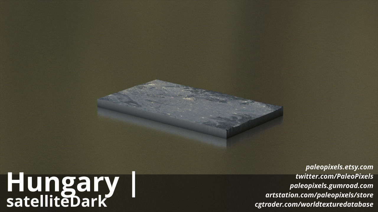
hungary_satelliteDark_basecolor_preview3D.jpg - resolution : 1280x720
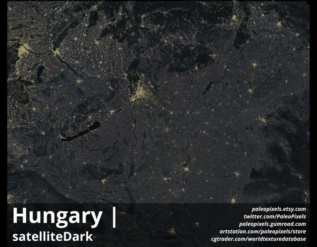
hungary_satelliteDark_preview.jpg - resolution : 1024x800
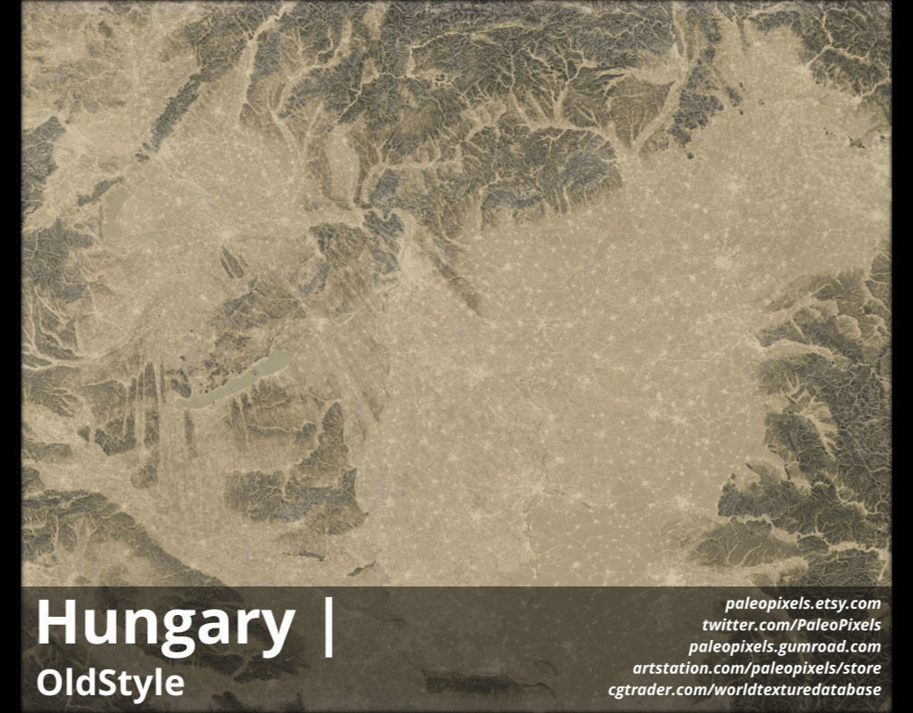
hungary_OldStyle_basecolor.exr - resolution : 13766x11274
hungary_OldStyle_basecolor.jpg - resolution : 13766x11274
hungary_OldStyle_basecolor_preview3D.jpg - resolution : 1280x720
hungary_OldStyle_preview.jpg - resolution : 1024x800
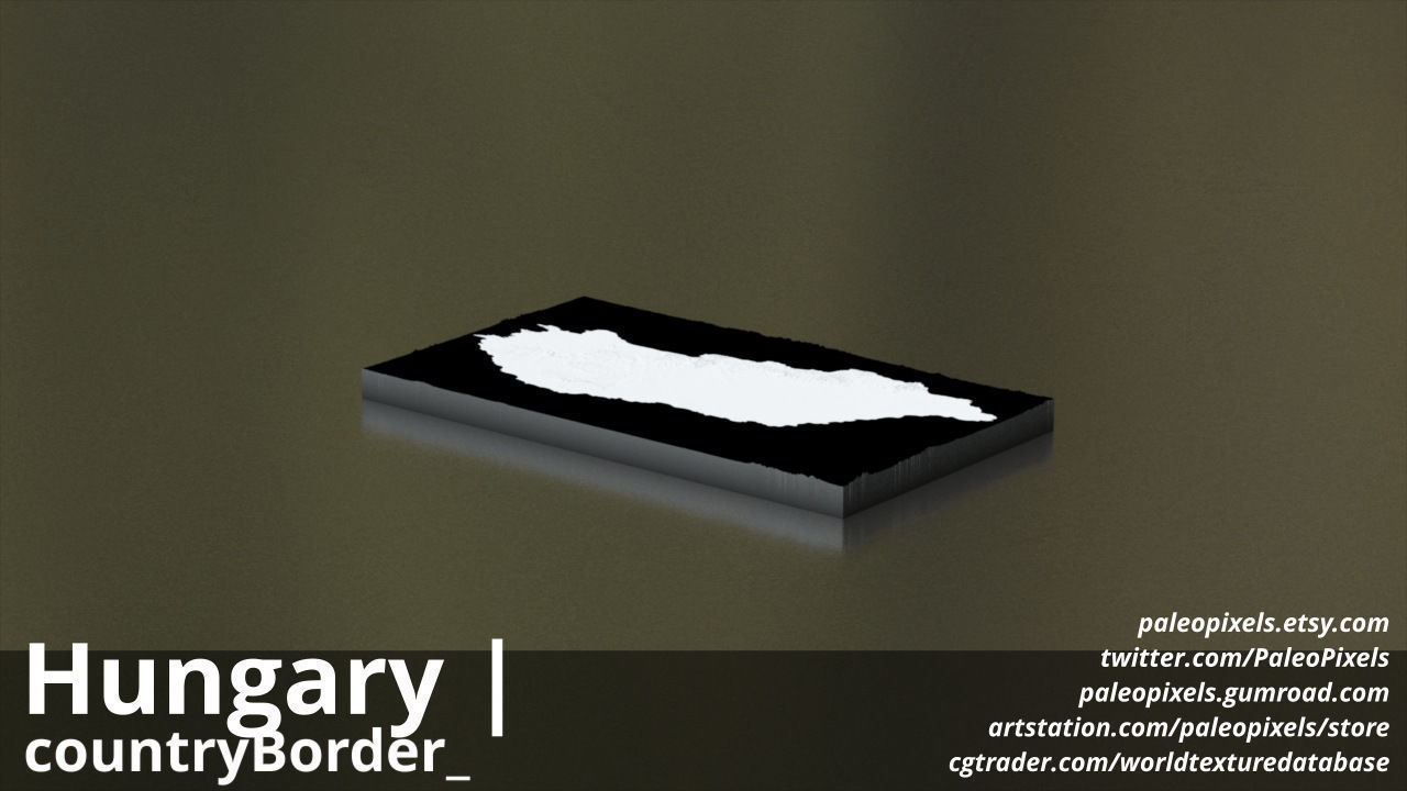
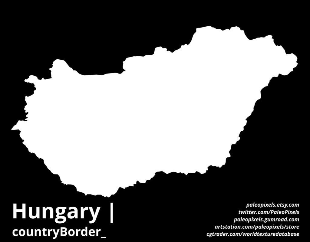
hungary_countryBorder__basecolor.exr - resolution : 13766x11274
hungary_countryBorder__basecolor.jpg - resolution : 13766x11274
hungary_countryBorder__basecolor_preview3D.jpg - resolution : 1280x720
hungary_countryBorder__preview.jpg - resolution : 1024x800
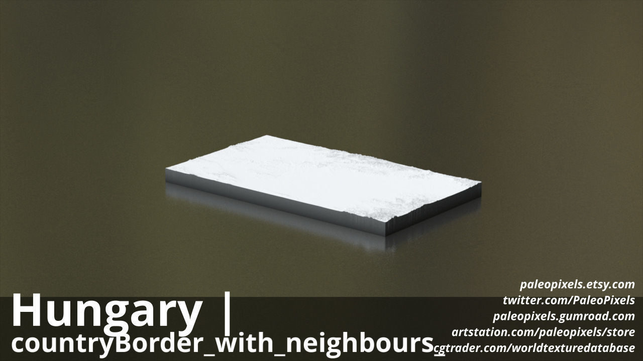
hungary_countryBorder_with_neighbours__basecolor.exr - resolution : 13766x11274
hungary_countryBorder_with_neighbours__basecolor.jpg - resolution : 13766x11274
hungary_countryBorder_with_neighbours__basecolor_preview3D.jpg - resolution : 1280x720
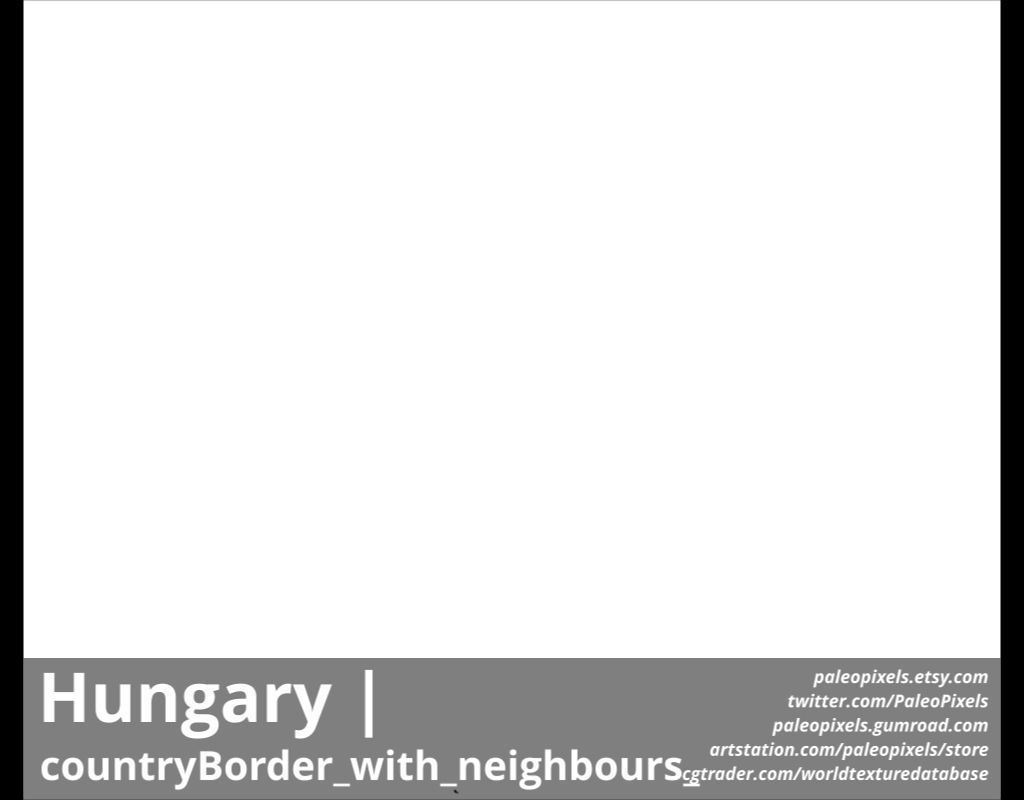
hungary_countryBorder_with_neighbours__preview.jpg - resolution : 1024x800
These textures align to following latitude/longitude coordinates :minimum Latitude : 45.0maximum Latitude : 49.0minimum Longitude : 16.0maximum Longitude : 23.0
Tags :cartography geography world terrain landscapes MakingMapsPretty map globemaker topography openstreetmap satelliteDark OldStyle countryBorder countryBorder_with_neighbours
Similar Models

