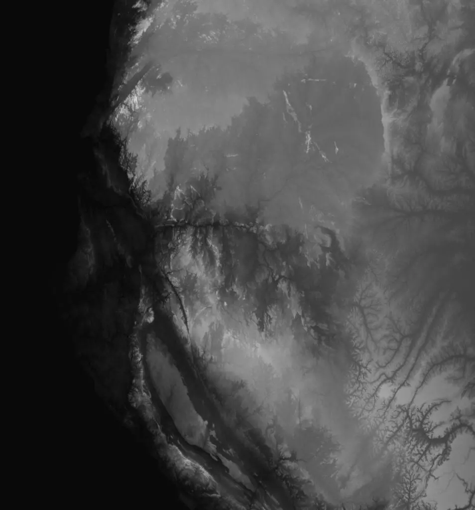
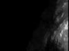
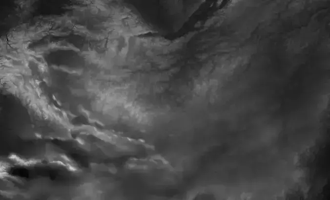
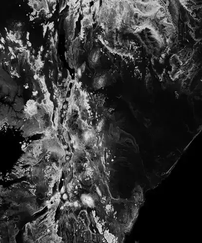
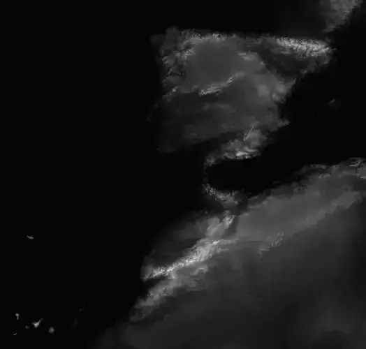
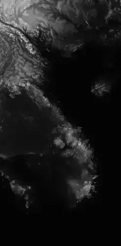
Gabon High resolution 12k Heightmap and geometry.
The greyscale values in the EXR between 0-1 need to be multiplied with 50000 to get the actual height in meters. The preview JPG images have boosted heights to make it easier to see and are not the actual height values). For a proper result the greyscale values should be remapped accordingly.
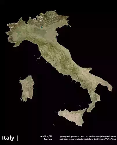
CountryMask = alpha for the country borders, countrySeaMask = all landmass in alpha.
In the files, LatLon means aligned to the following latitude/longitude coordinates :minimum Latitude :-4.0maximum Latitude :3minimum Longitude :8.0maximum Longitude :15
gabon_displacement_countryOnly0000.jpg - resolution :11304 12148
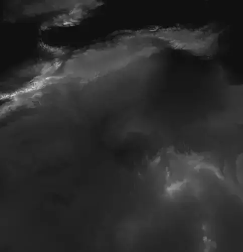
gabon_displacement_full0000.jpg - resolution :11304 12148
gabon_render_countryMask_0__basecolor.0.exr - resolution :11304 12148
gabon_displacement0000.exr - resolution :11304 12148
gabon_displacement_full0000.exr - resolution :11304 12148
gabon_displacement_countryOnly0000.exr - resolution :11304 12148
gabon_displacement_full0000_thmb0000.jpg - resolution :566 608
gabon_displacement_full_scaled0000.jpg - resolution :566 608
gabon_displacement_countryOnly_scaled0000.jpg - resolution :566 608
gabon_render_countrySeaMask_0__basecolor.0.exr - resolution :11304 12148
gabon_displacement_fullResized0000.exr - resolution :2792 3000