

Collection of heightmaps and geometry for Tunisia Texture
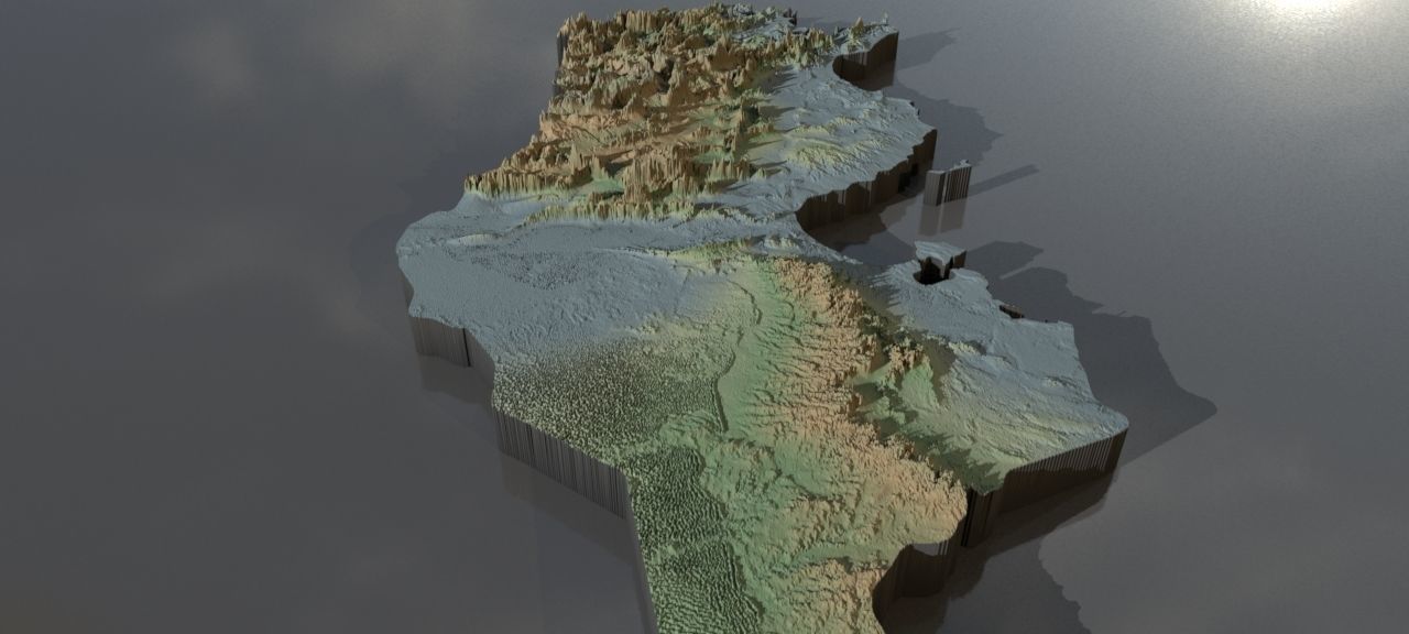
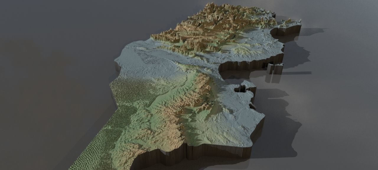
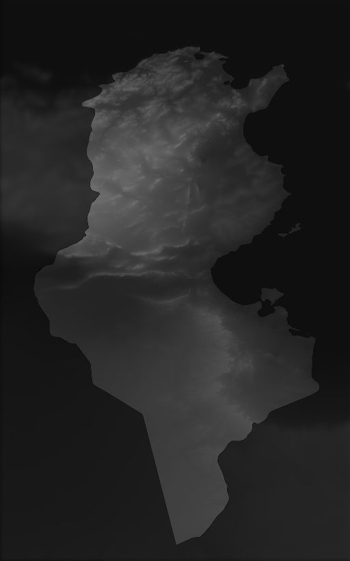
Collection of heightmaps and geometry for Tunisia.Import : the preview images have boosted heights to make it easier to see.The greyscale values between 0-1 are heightvalues between -100 and 10000 metres.For a proper result the greyscale values should be remapped accordingly.
In the files, LatLon means aligned to the following latitude/longitude coordinates :minimum Latitude :30.0maximum Latitude :38.0minimum Longitude :7.0maximum Longitude :12.0
Cartesian means the latitude/longitude coordinates got mapped onto a earth-sized sphere,then aligned the poles to a grid and brought to the origin. This method should have the least distortion.
preview0.jpg - resolution :1280x576
preview1.jpg - resolution :1280x576
preview2.jpg - resolution :1280x576
preview4.jpg - resolution :512x819
tunisia_cartesian_heightmap_heightmap.exr - resolution :6178x6178
tunisia_heightmap_latlon_30.0_38.0_30.0_38.0.exr - resolution :5120x8192
tunisia_heightmap_latlon_30.0_38.0_30.0_38.0.jpg - resolution :5120x8192
Similar Models

Users who bought this item also bought...
