


Useto navigate. Pressescto quit
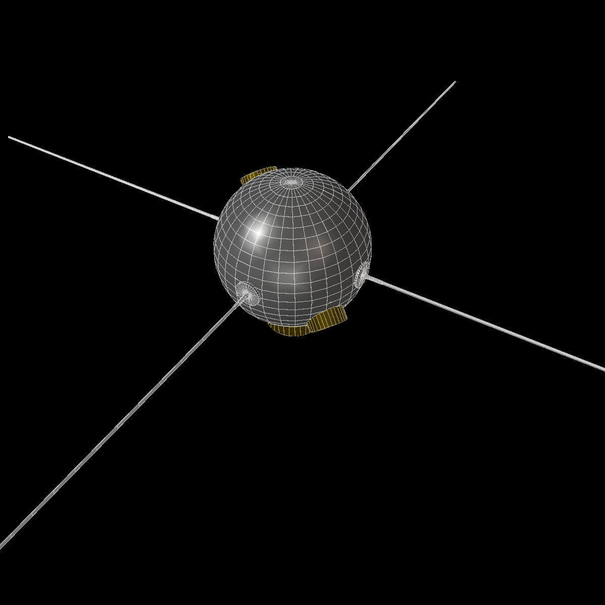
Vanguard II Satellite 3D model
Description
Atmospheric density measurement satellite
Vanguard II was launched on Feb 17, 1959 as part of the Navy's Project Vanguard. The weather satellite measured cloud cover distributions and air densities.
- Folding antennas- 2k bump map- Materials for COB, Blender
Vanguard II Satellite
Royalty Free License
Vanguard II Satellite
Royalty Free License

3D Modeling
Low-poly Modeling
3D Model formats
Format limitations
- 3D Studio (.3ds)78.4 KB
- Other 96.5 KB
- DXF (.dxf)57.4 KB
- OBJ (.obj, .mtl) (2 files)146 KB
- Collada (.dae)173 KB
- Blender 2.66a (.blend)253 KB
- Autodesk FBX (.fbx)181 KB
3D Model details
- Ready for 3D Printing
- Animated
- Rigged
- VR / AR / Low-poly
- PBR
- Geometry Polygon mesh
- Polygons 3,304
- Vertices 1,572
- Textures
- Materials
- UV Mapping
- Unwrapped UVs
- Plugins used
- Publish date2015-03-25
- Model ID#122220
Similar Models
to Vanguard II Satellite

Users who bought this item also bought...
