
piyushp7879
Nice


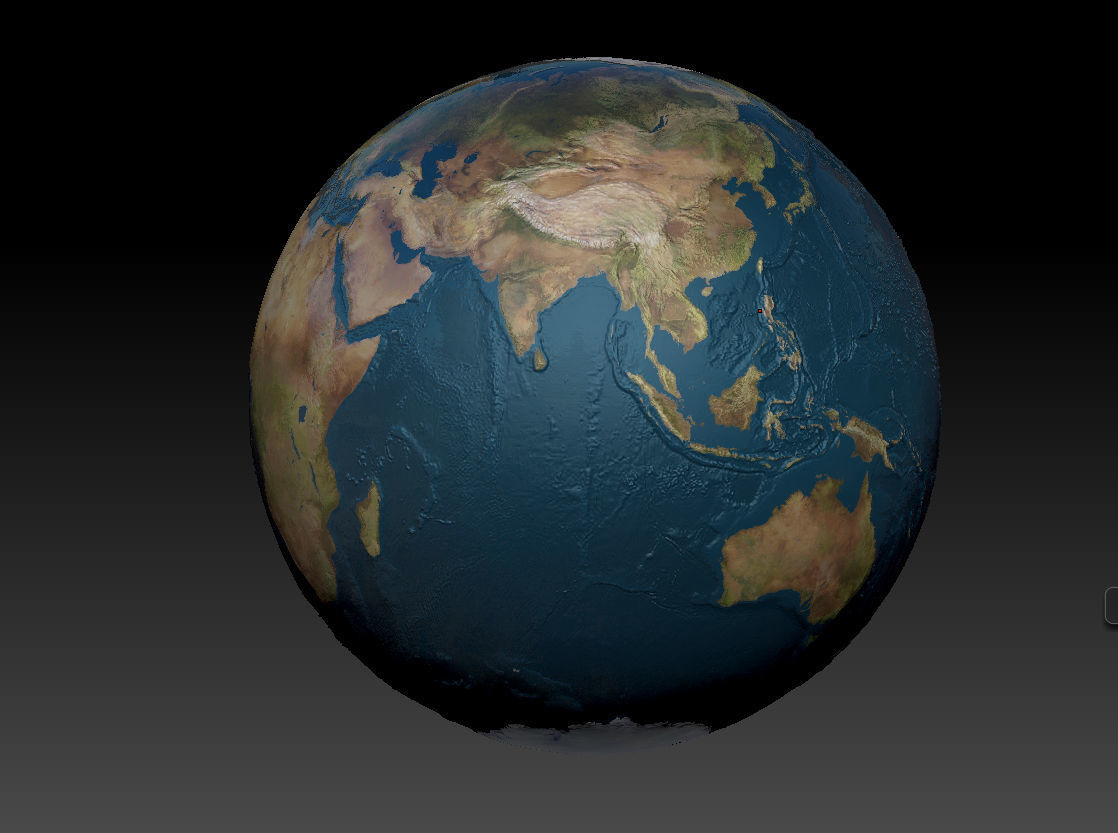


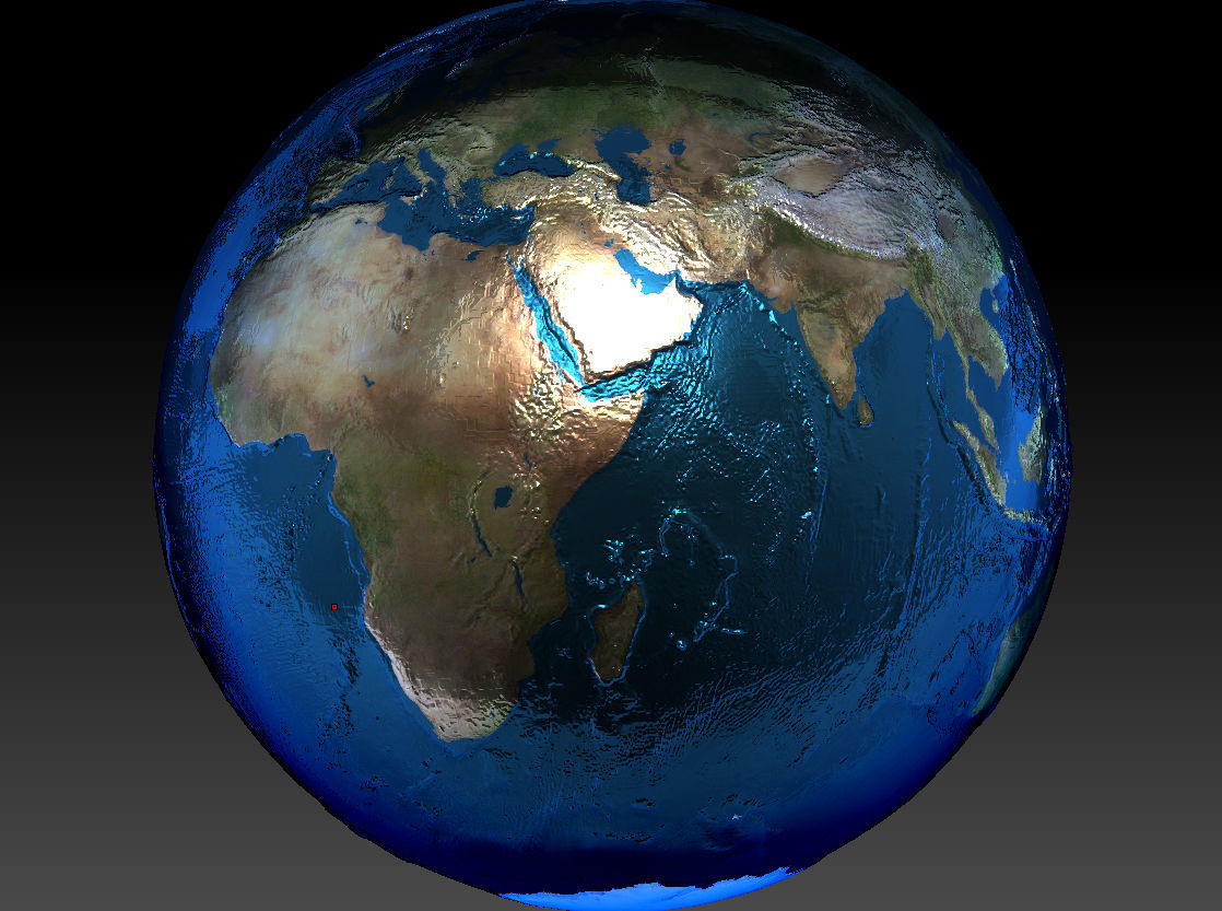


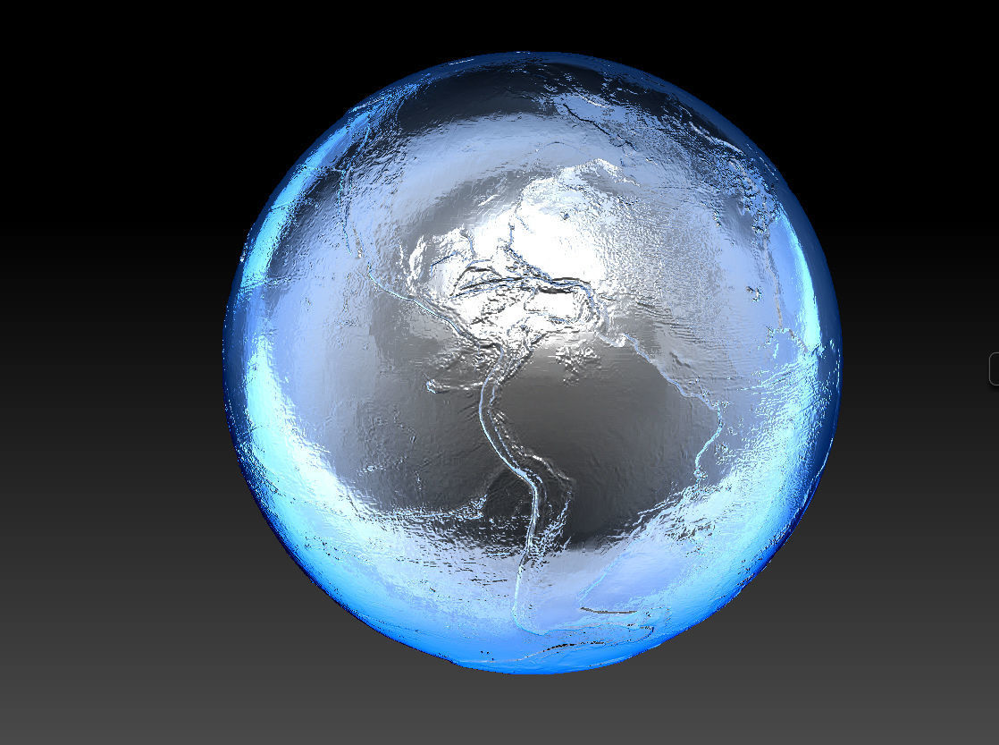


Planet Earth /World 3d model with 3D Topology and Photo mapping.Great for educational purposes and as a reference.A space photo map of topological elevation was used, so it captures all of the mountains and valleys of our planet.Both on land and in the World Ocean. The highest point being Mount Everest (Chomolungma) in Himalayas, the lowest - Mariana Trench, south-south-east of Japan.Could be 3d printed.Includes files:Obj, Stl, Max, Blend, Dae, 3DS, FBX, Contains a seam at the International Date Line.The model is decimated, so it contains all of the detail, but has a small size.Good for schools, education, 3d design, or as an educational toy.Thank you!Enjoy!


