

Useto navigate. Pressescto quit
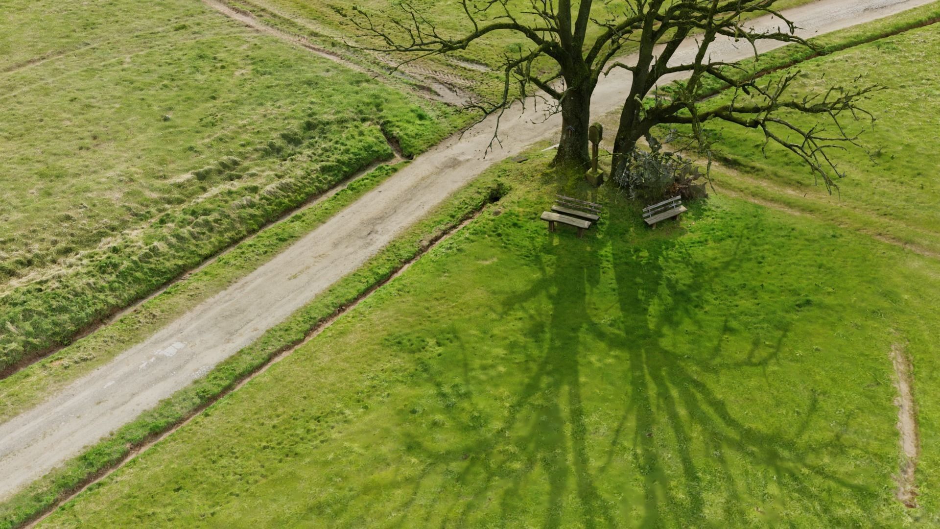
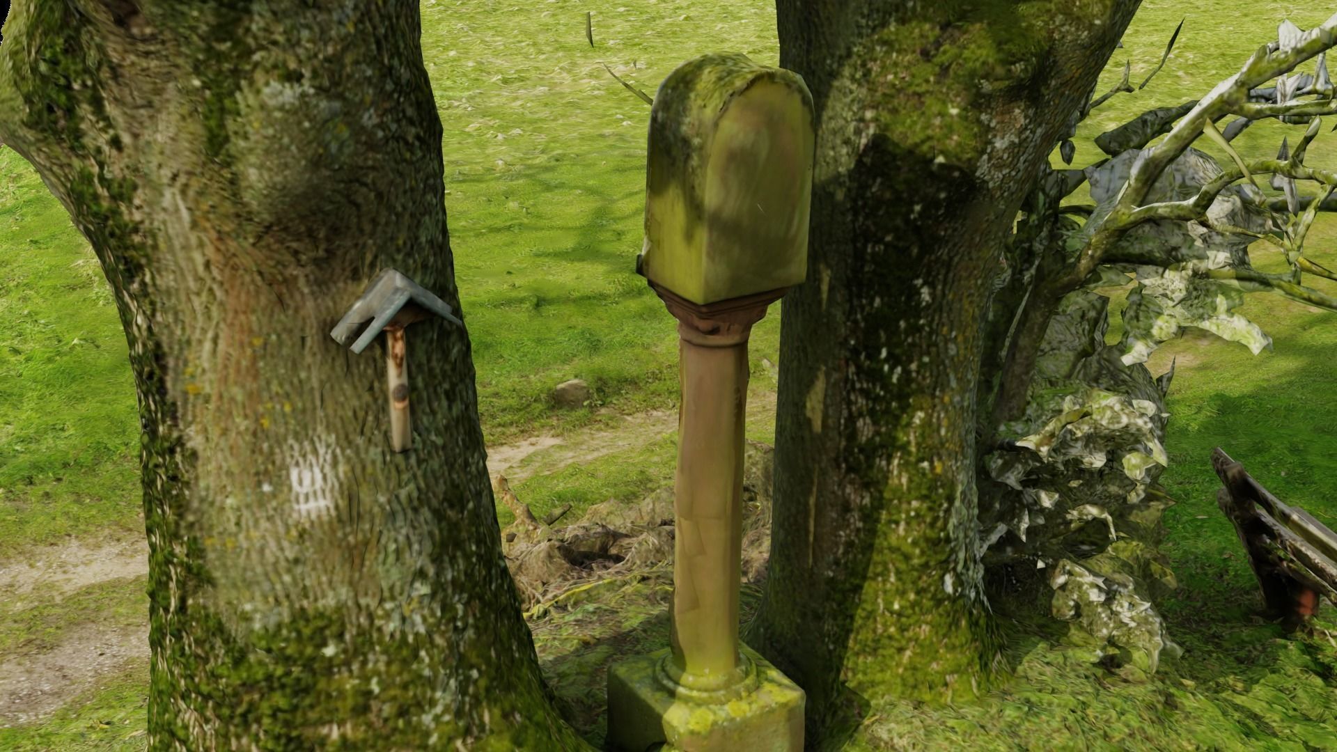
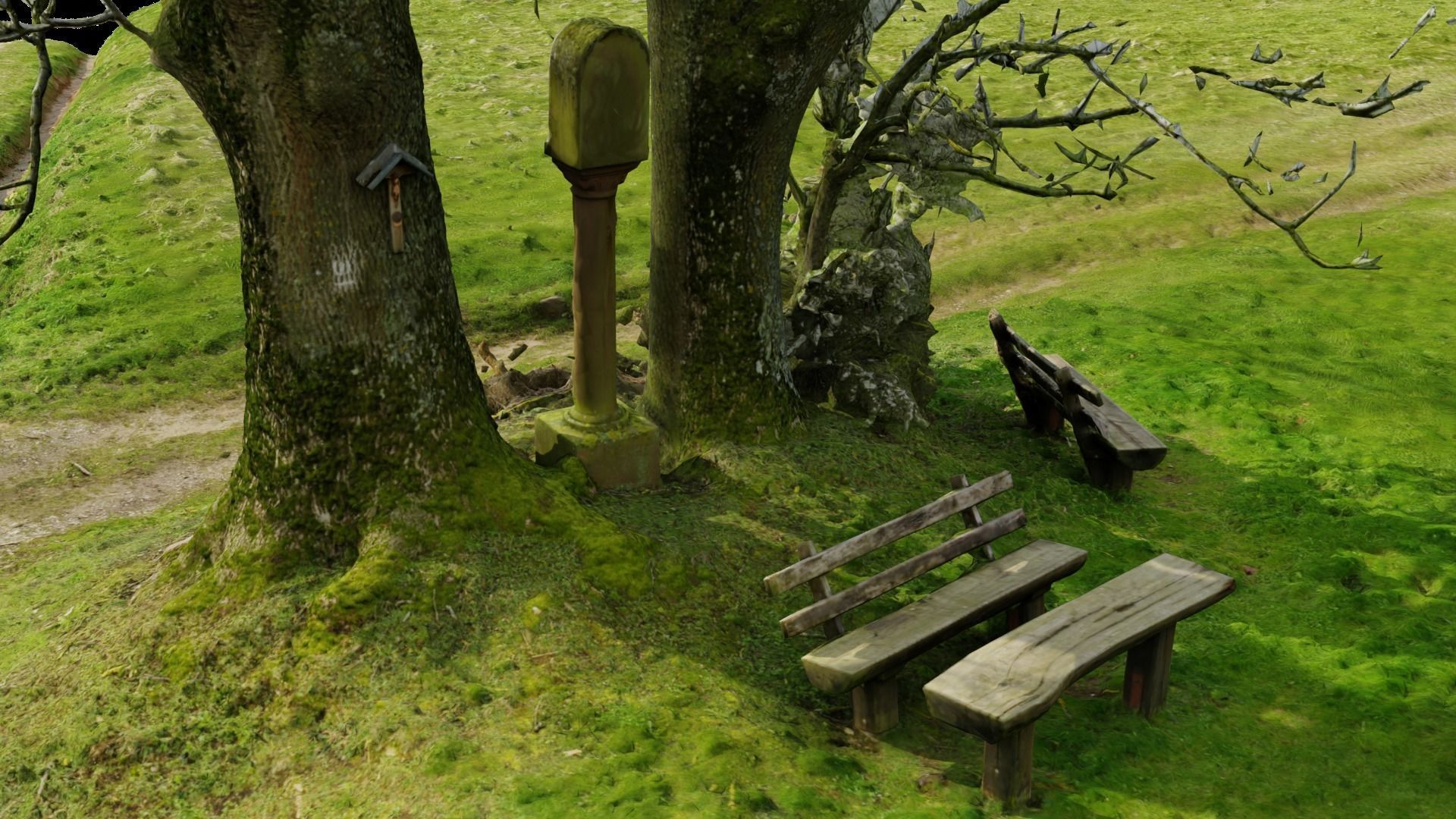
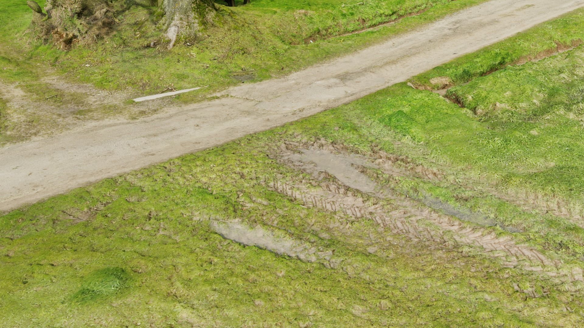
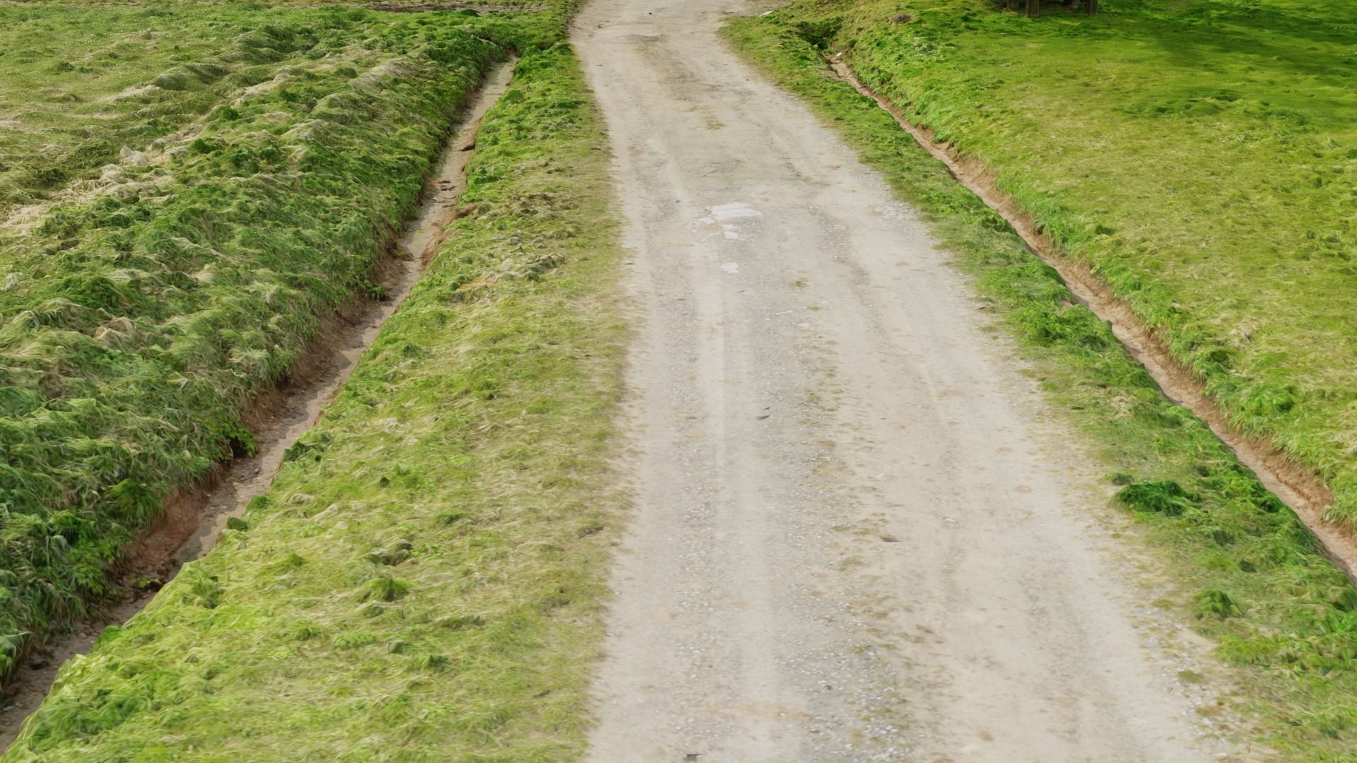
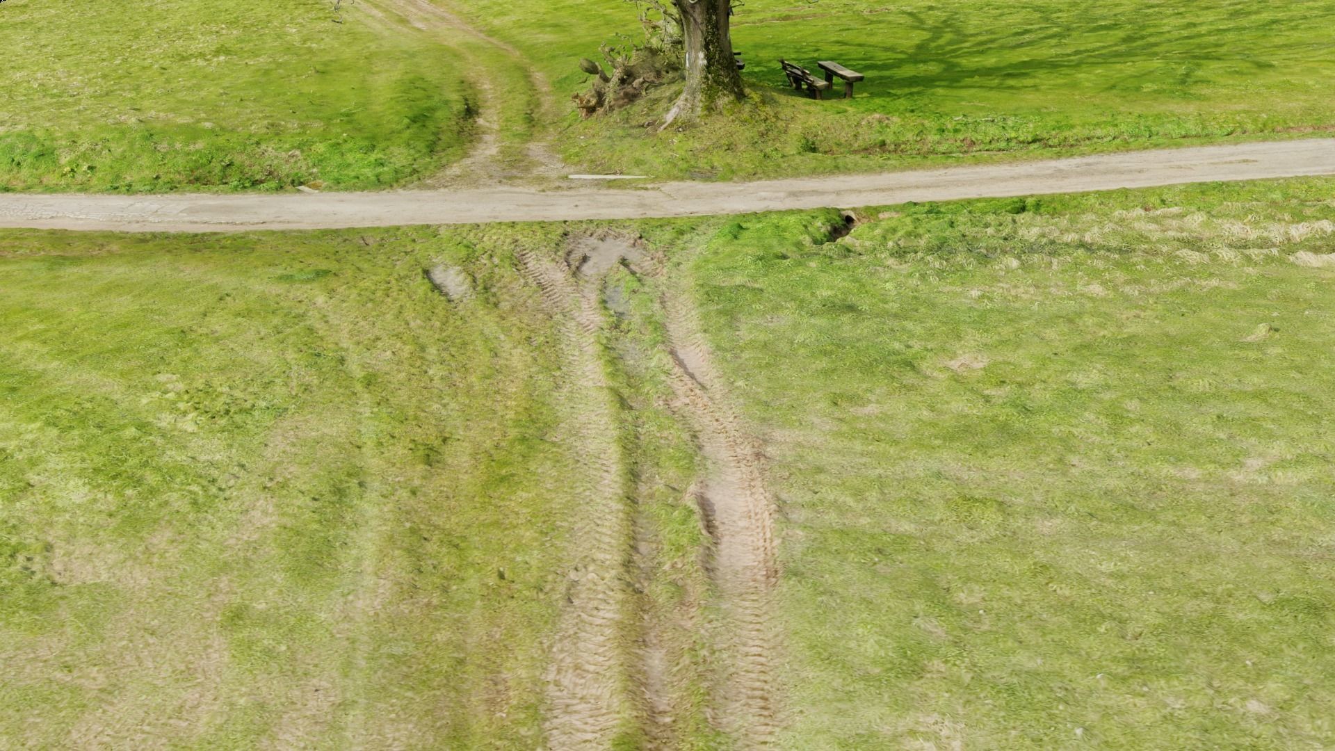
Grass path - 3D Scan EXTREM performance friendly 3D model
Description
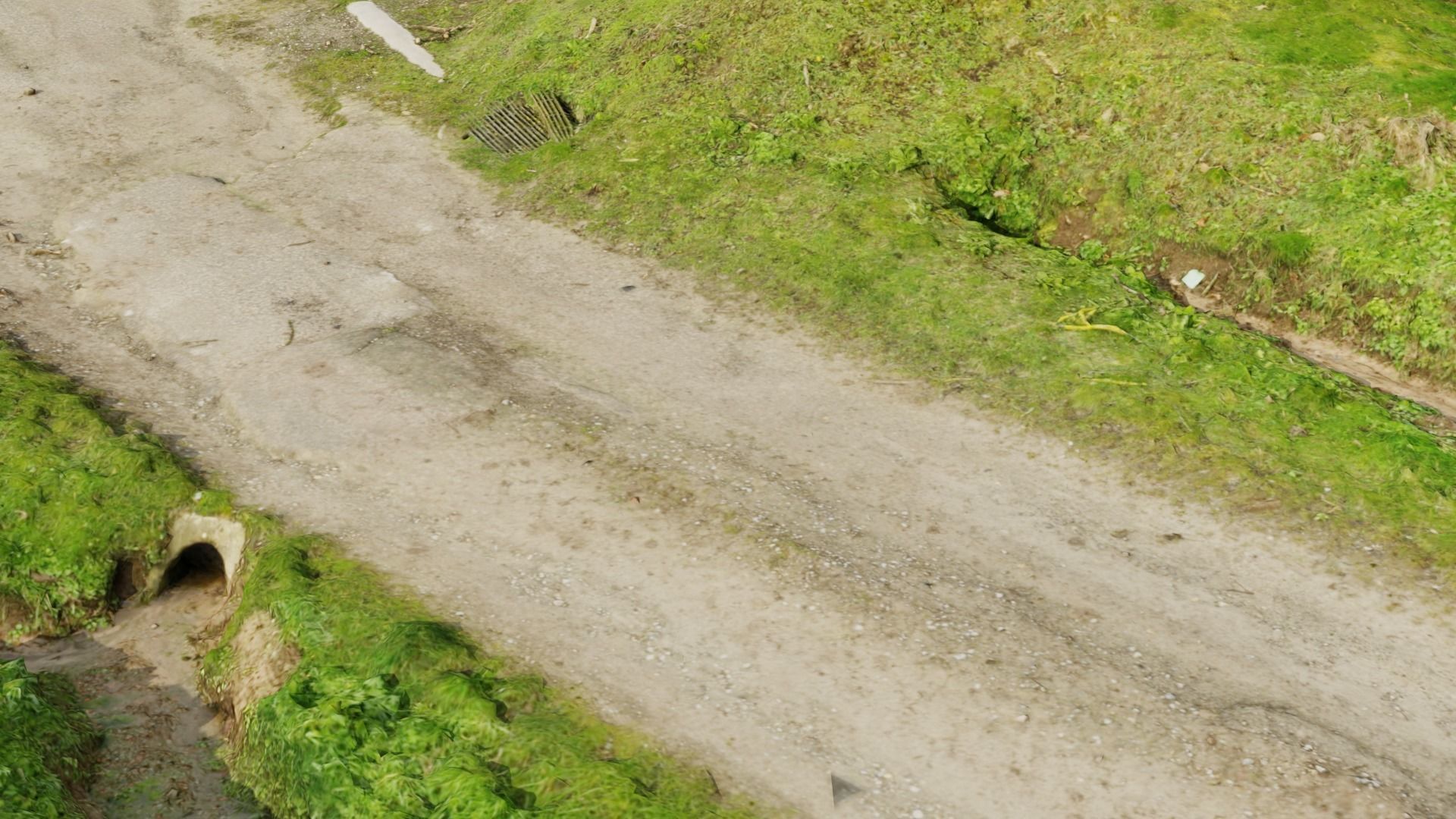
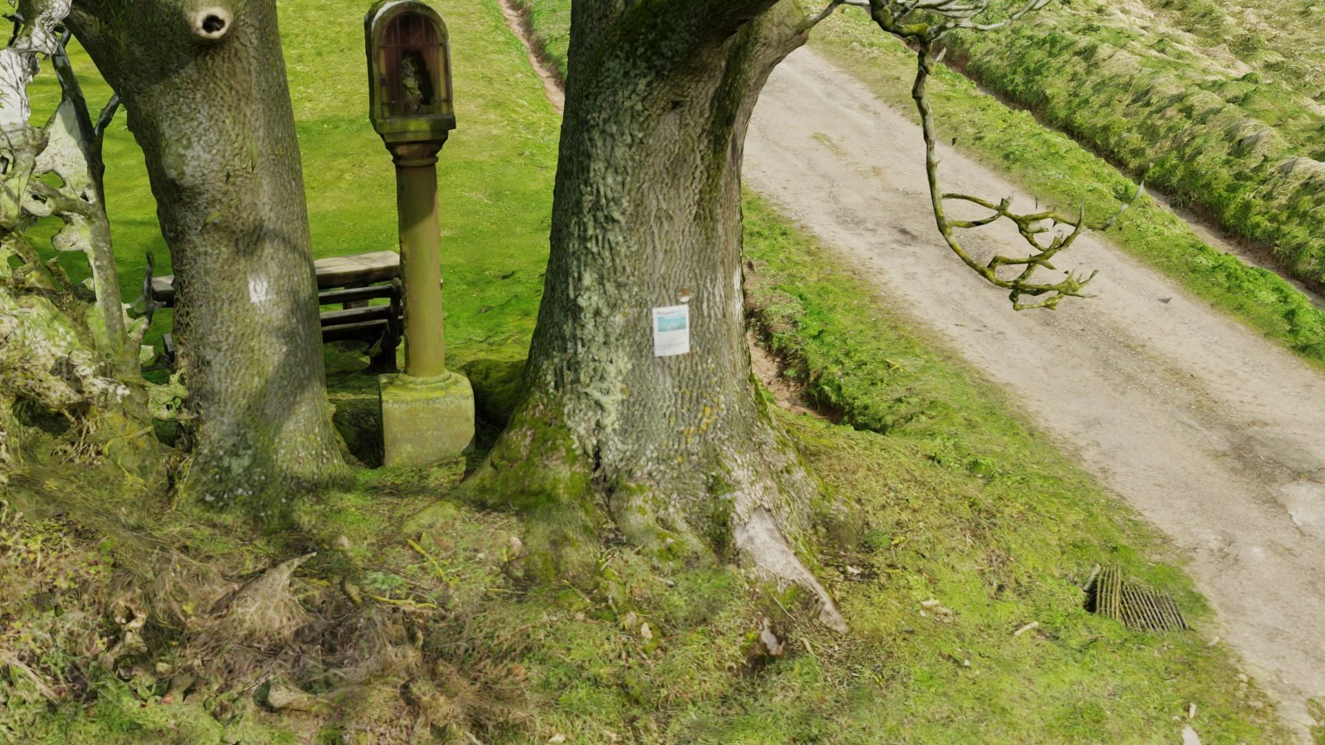
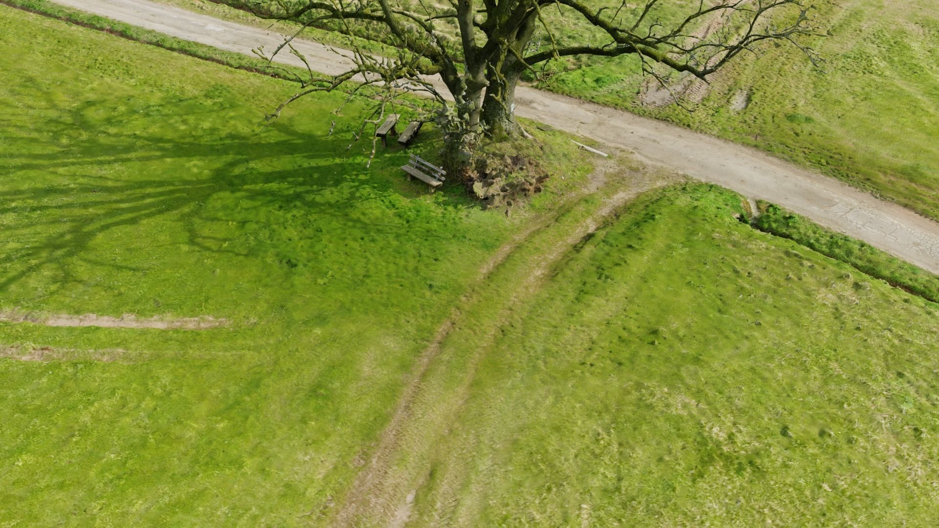
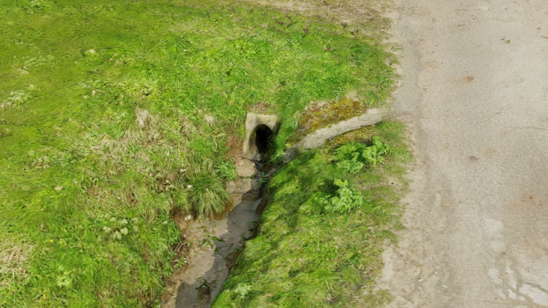
Grass path drone 3D scan. Scanned with DJI Mavic 3E with RTK and created with Agisoft metashape. Whole model has 800.000 vertices and 20x 4K Textures for good quality and good performance
Grass path - 3D Scan EXTREM performance friendly
Royalty Free No Ai License
Grass path - 3D Scan EXTREM performance friendly
Royalty Free No Ai License

3D Model formats
Format limitations
- Autodesk FBX (.fbx) (2 files)224 MBVersion: 2020
- Blender 3.4 (.blend)162 MBVersion: 3.4Renderer: Cycles 3.4
- Textures 61.7 MB
3D Model details
- Publish date2024-03-30
- Model ID#5192798
- Animated
- Rigged
- VR / AR / Low-poly
- PBR
- Geometry Polygon mesh
- Polygons 1,580,000
- Vertices 800,000
- Textures
- Materials
- UV Mapping
- Unwrapped UVs Unknown
- Plugins used
- Ready for 3D Printing
Similar Models
to Grass path - 3D Scan EXTREM performance friendly

