


Useto navigate. Pressescto quit
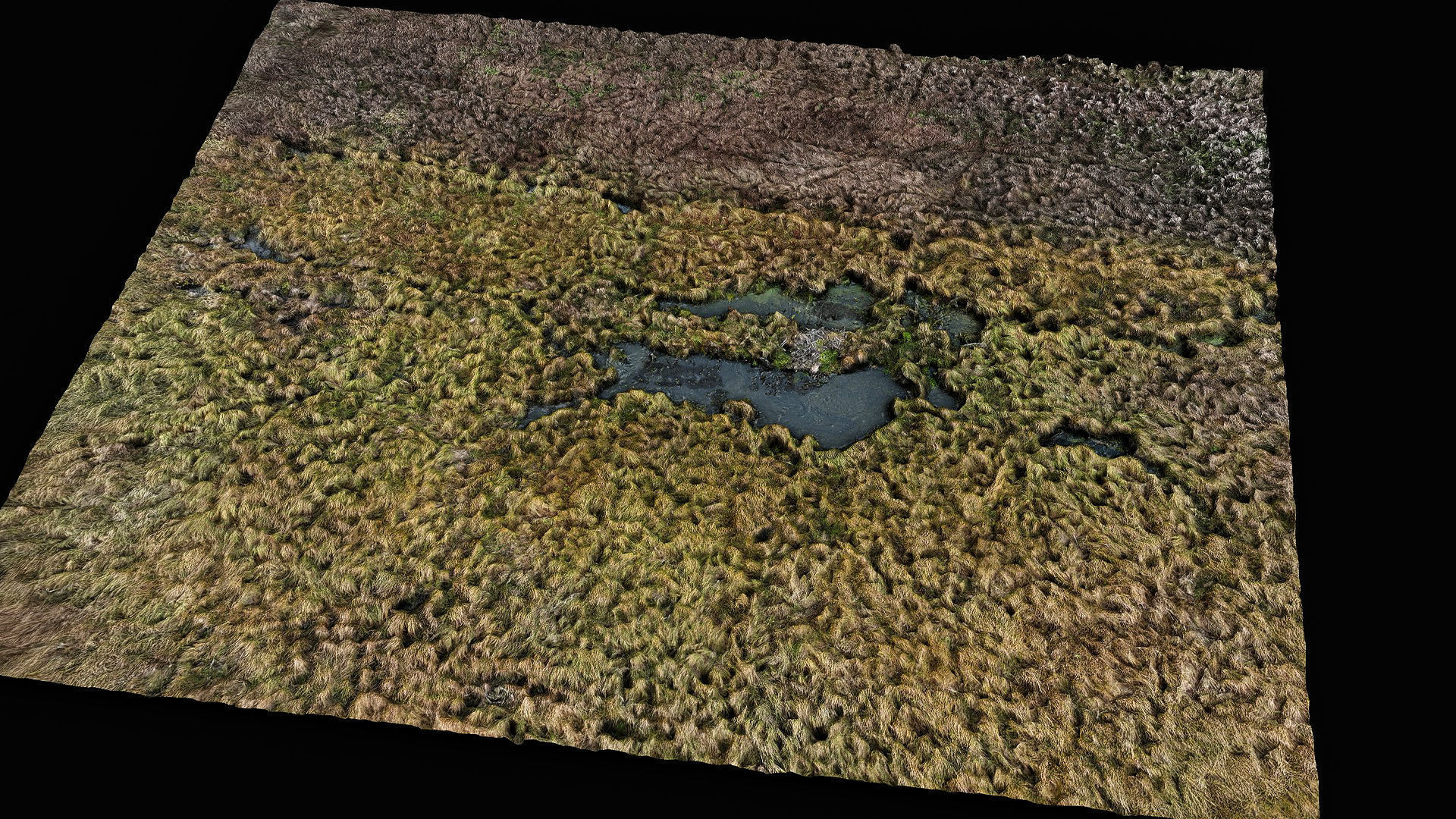
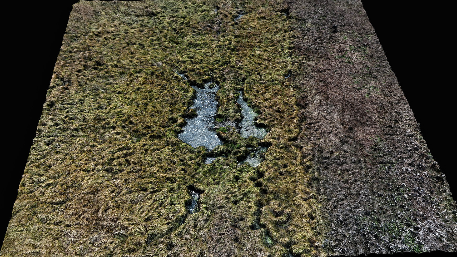
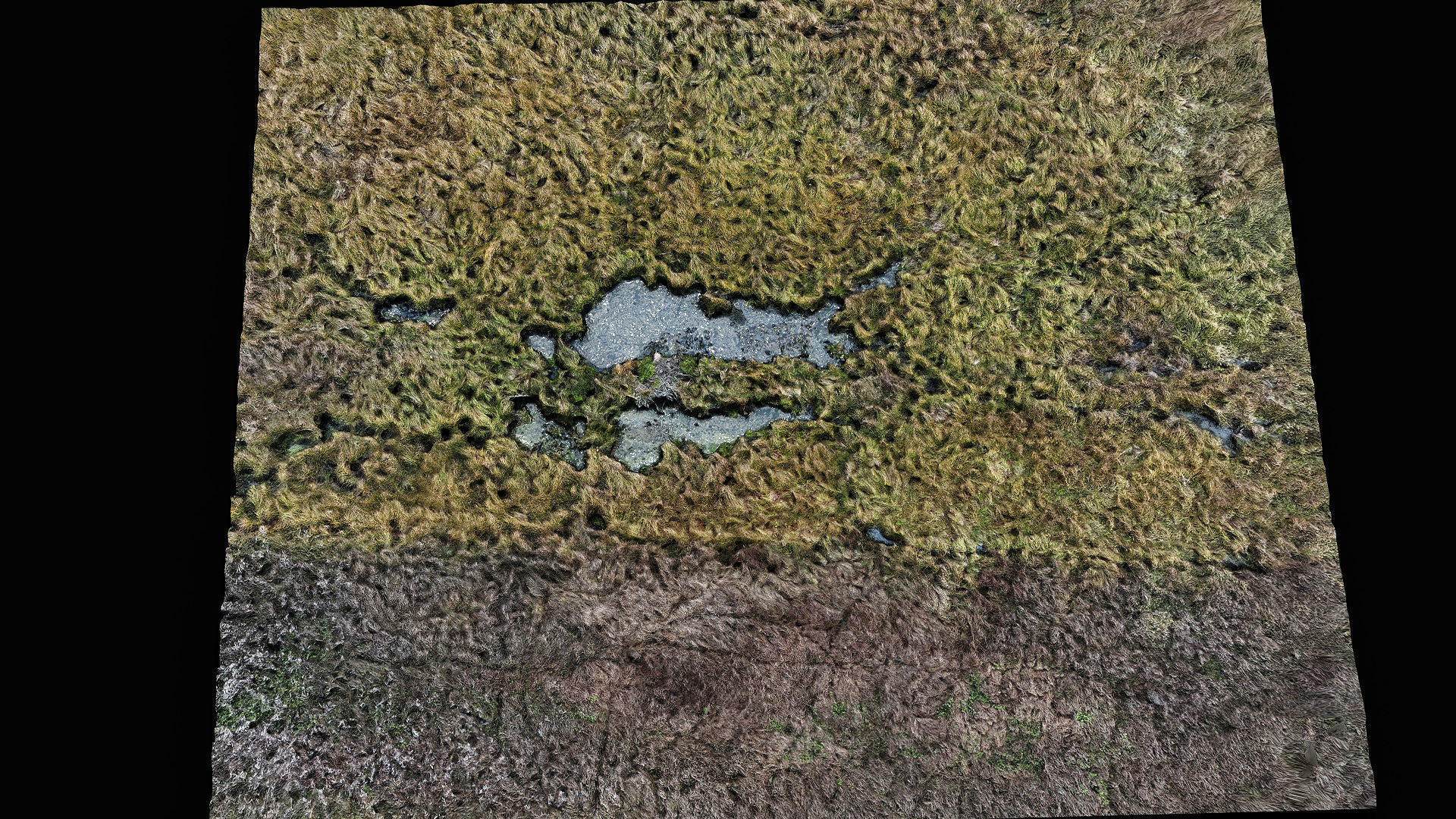
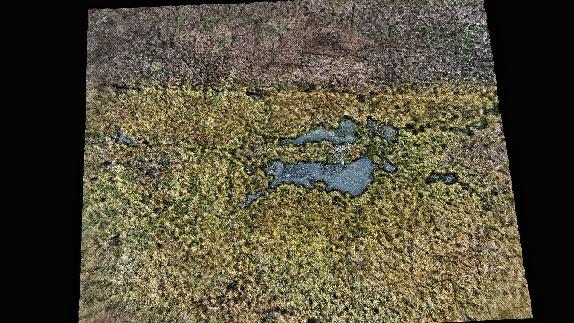
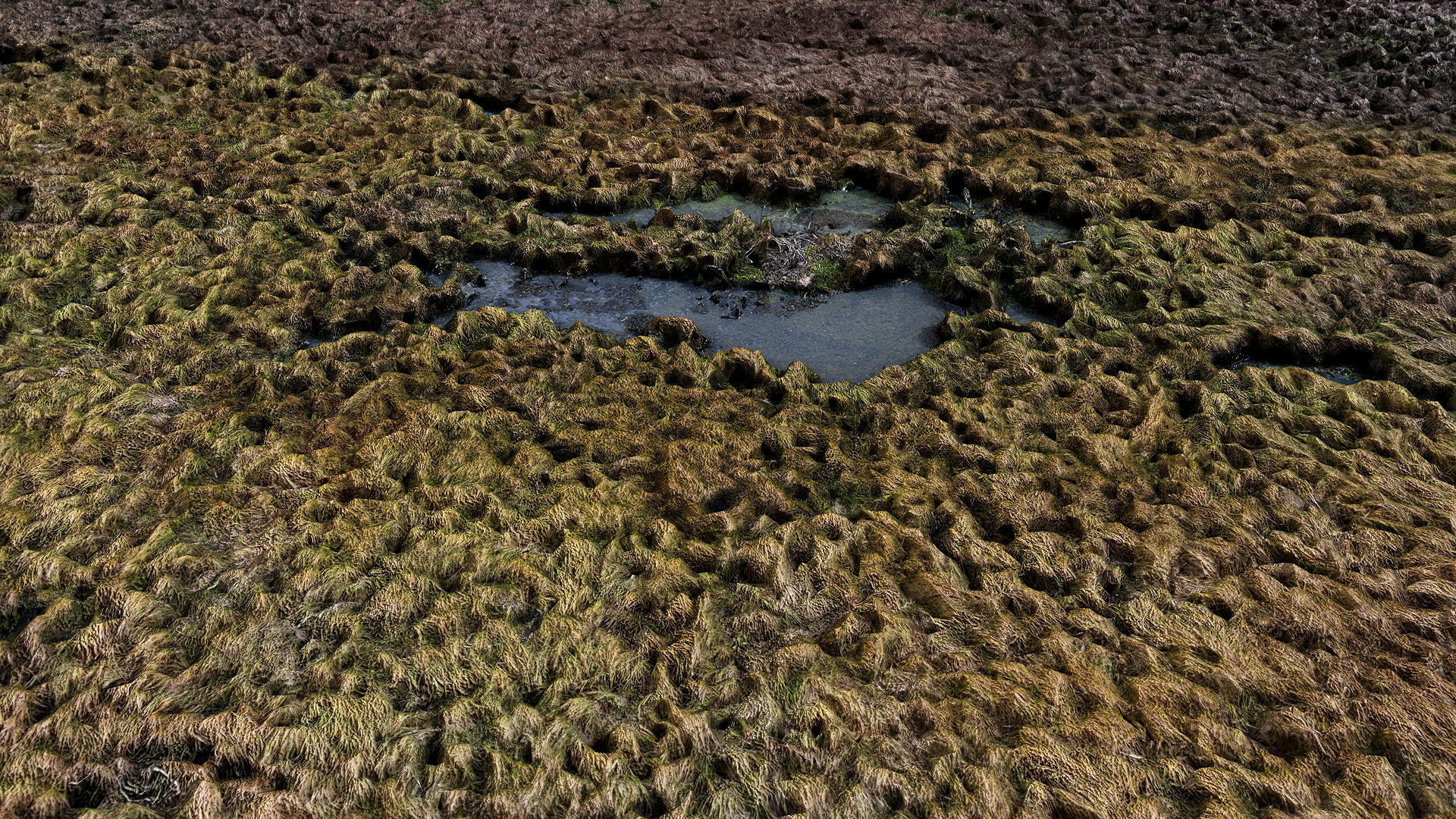
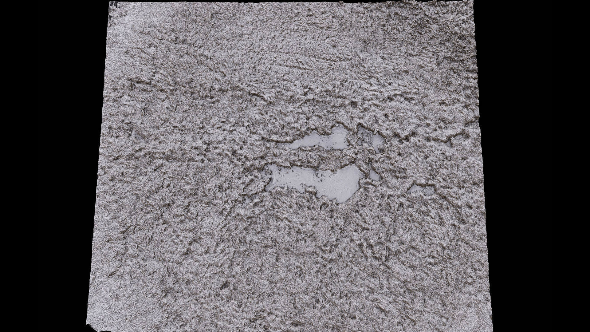
forest ground swamp grass fields area drone photogrammetry Low-poly 3D model
Description
- aerial drone scan - 50x80 meters area
- lowpoly optimized mesh smoothing groups OBJ file 1udimm
- *8k textures 1x *: Base Color
- 4k textures 1x : Roughness, Normal, Occlusion
forest ground swamp grass fields area drone photogrammetry
Royalty Free License
forest ground swamp grass fields area drone photogrammetry
Royalty Free License

3D Modeling
Lighting
UV mapping
Texturing
Shaders
3D Scanning
PBR modeling
3D Model formats
Format limitations
- OBJ 2020 (.obj, .mtl)41.5 MB
- JPG (.jpg)41.5 MB
3D Model details
- Publish date2024-11-06
- Model ID#5624863
- Animated
- Rigged
- VR / AR / Low-poly
- PBR
- Geometry Polygon mesh
- Polygons 67,971
- Vertices 34,603
- Textures
- Materials
- UV Mapping
- Unwrapped UVs Non-overlapping
- Plugins used
- Ready for 3D Printing
Similar VR / AR / Low poly 3D Models
to forest ground swamp grass fields area drone photogrammetry low-poly 3d model

