Useto navigate. Pressescto quit
Kentucky Political Map 3D model
Description
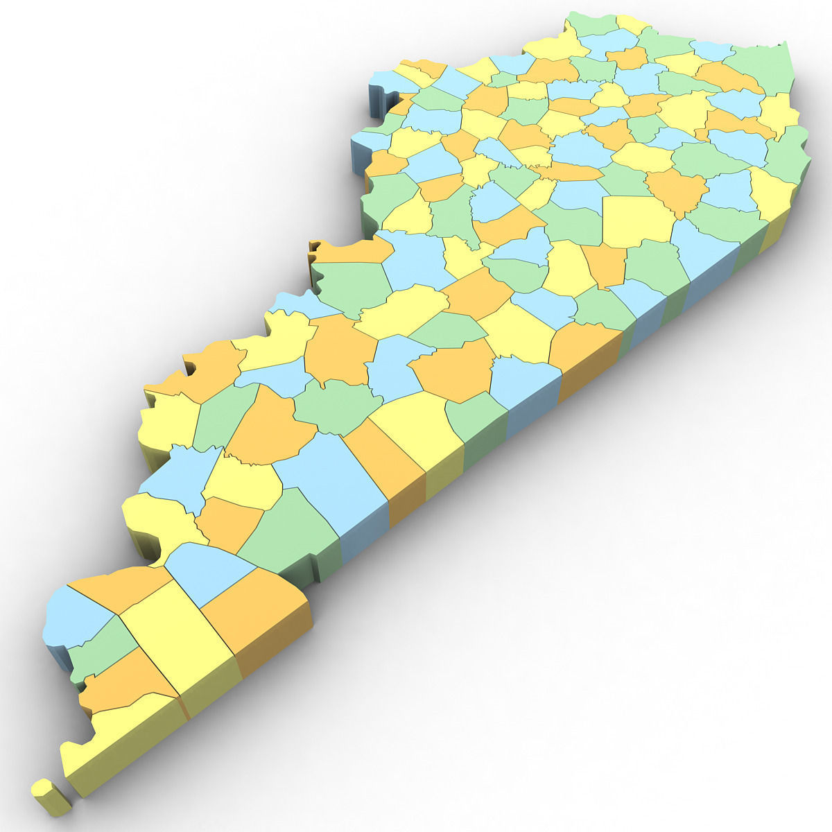
3d Model of the Political Map of Kentucky. Features every county in the state. The modifier stack is uncollapsed allowing for easy change of extrusion settings.


3d Model of the Political Map of Kentucky. Features every county in the state. The modifier stack is uncollapsed allowing for easy change of extrusion settings.