Useto navigate. Pressescto quit
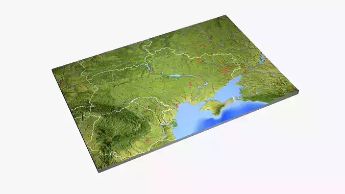
Ukraine High resolution 3D relief maps 3D model
Verification details of the FBX file
Files
Binary FBX
Scene
No unsupported objects
Geometry
No N-gonsNo faceted geometryManifold geometry
Textures and Materials
PBR texturesNo embed texturesSquare texturesPower of 2 texture sizesAssigned materials
UVs
No UV overlapsUV unwrapped model
Naming
Allowed characters
Description
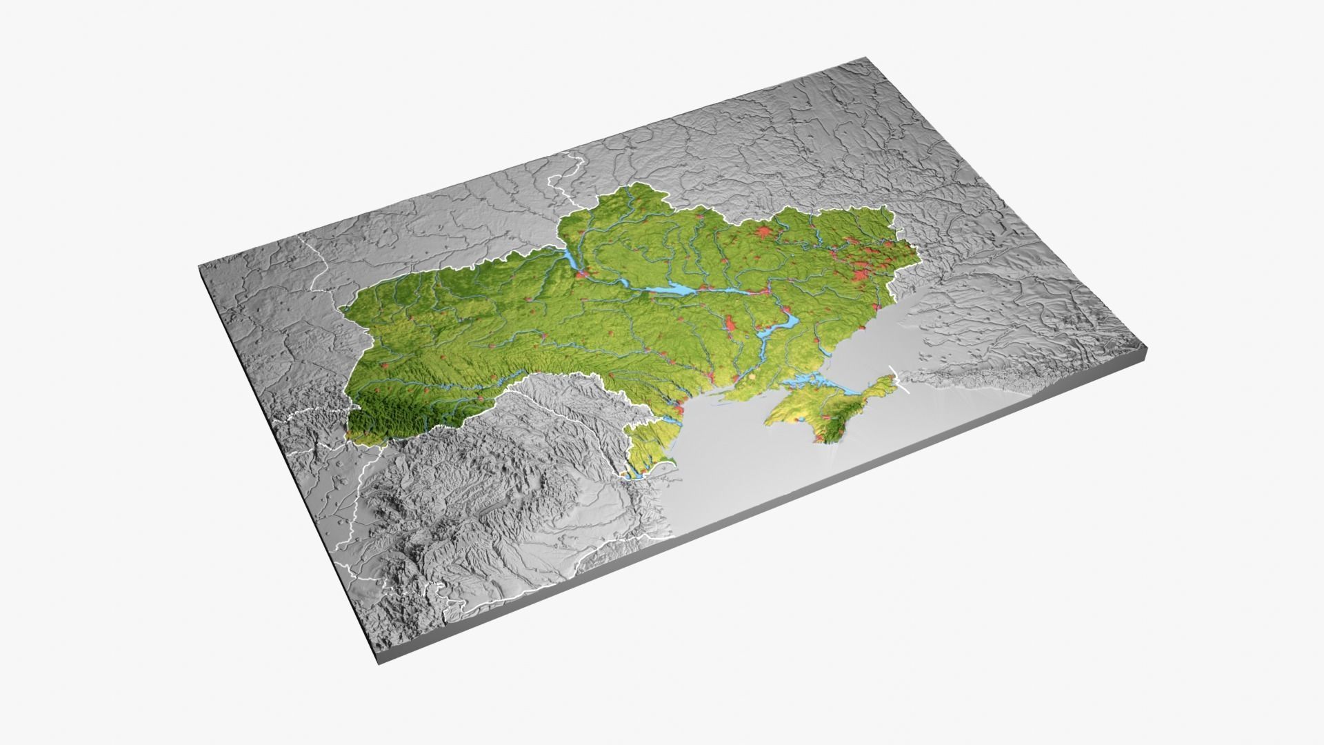
High resolution 3D relief maps of Ukraine
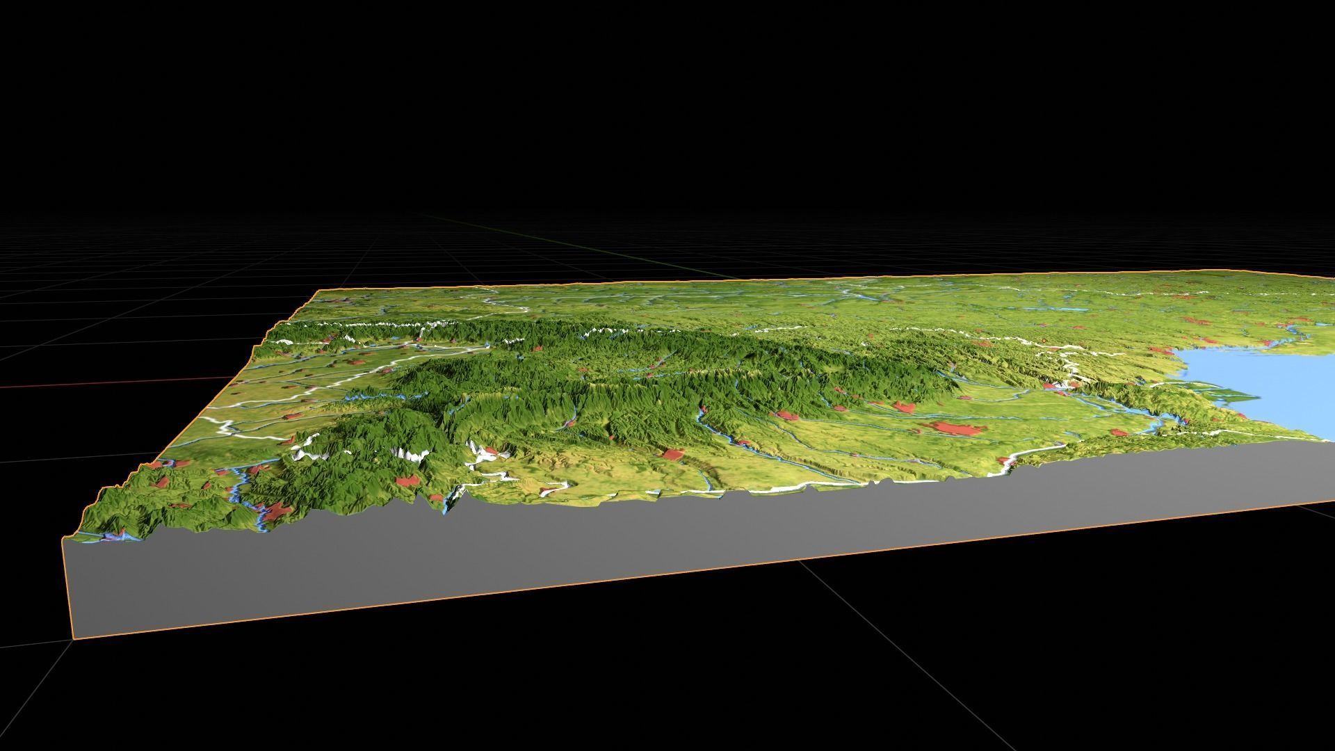
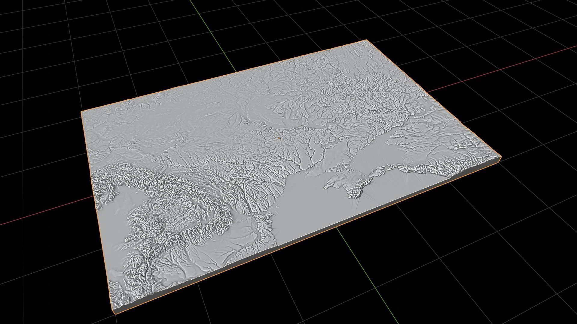
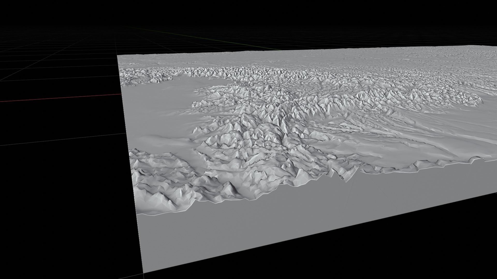
Terrain elevation is baked into the model, with bump maps for additional detail.Two models are provided: a recangular map, including parts of surrounding countries, and a cutout of the country within its borders.The Crimea is included as part of Ukraine, according to the official view of the United Nations.The map projection is Mercator.Both models are watertight and can be used for 3D printing and similar manufacturing machines.
Ukraine-Full:Triangles: 412080Vertices: 206043UV's: overlapping
Ukraine-Cutout:Triangles: 209132Vertices: 104568UV's: overlapping
Versions for Blender 3.3, 3ds Max 2013, .obj and fbx are included.


