Useto navigate. Pressescto quit
Segula island Alaska high resolution Elevation 3D print and Low-poly 3D model
Description
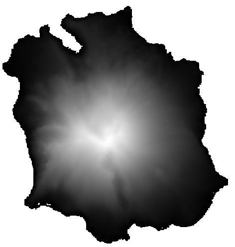
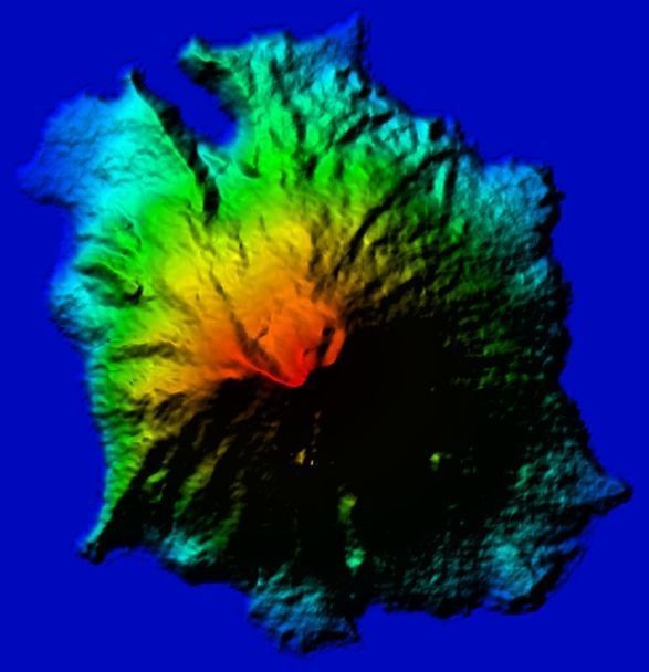
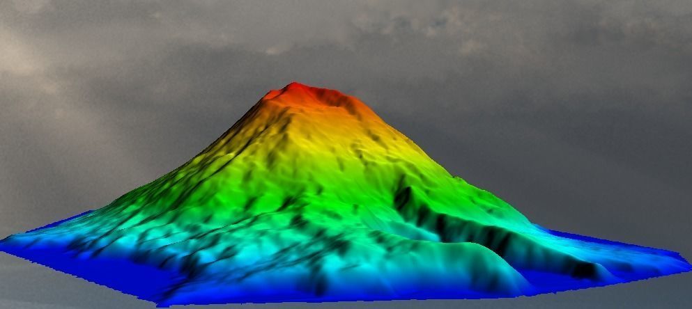
Digital Elevation model with high level resolution of Segula Island ( Alaska ) : 7km x 7km
List of the attached files
- segula.mtl
- segula.obj
- segula.stl
- segula.tiff
- segula.prj
- segula.laz
- segula.gcode8.segula.kml
Elevation spatial resolution : *12.5 m ( more and more better than google earth resolution ) * Planimetric Acurracy : 1.5mx1.5m
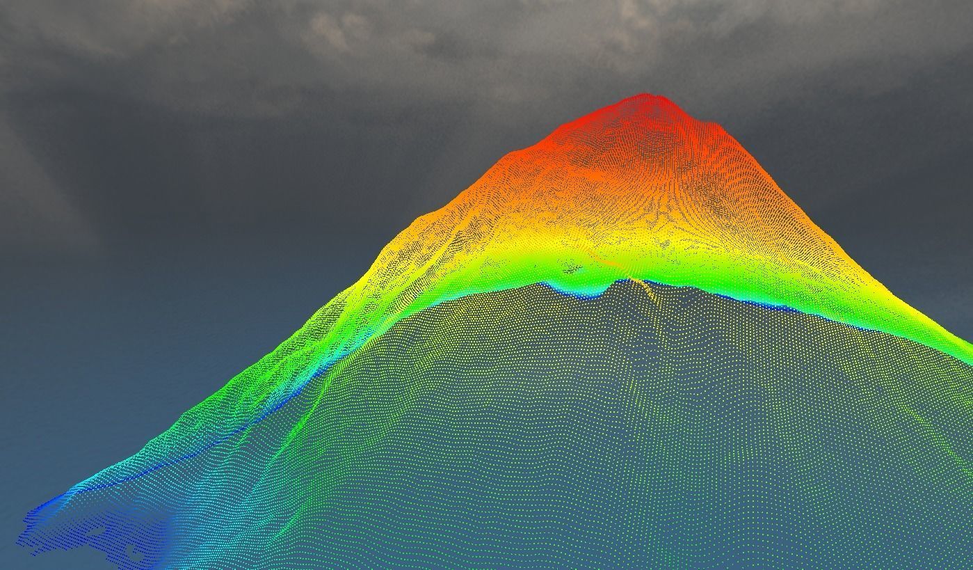
DESCRIPTION OF THE LIDAR POINT GENERATION ( File : segula.LAZ Note that Lidar point contain only elevation data with the appropriate color , it is generated from DEM 12.5 m with the same grid spacing
- LIDAR POINT COUNT=214,933
- LIDAR POINT DENSITY=0.00617 samples / m^2
- LIDAR POINT SPACING=12.734 m
- PROJ_DATUM=WGS84
- PROJ_UNITS=meters
- EPSG_CODE=EPSG:32660
- BBOX AREA=50.644 sq km
- MIN ELEVATION=6.103 METERS
- MAX ELEVATION=1140 METERS
**segula.kml **for localisation in Google earth
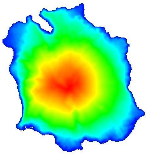
Texture of map elevation color : segula.tif ( 587px x 608 px - 96dpi-16bit color-1.4Mo -); it contain also elevation data for GIS program.
*For 3D print : *
- segula.gcode file is attached :
- details for 3D print :
- layer height : 0.15 mm
- size (mm) : 190.07x200.00 x 31.07 ( 2.73%)
- Volume : 204 071.22
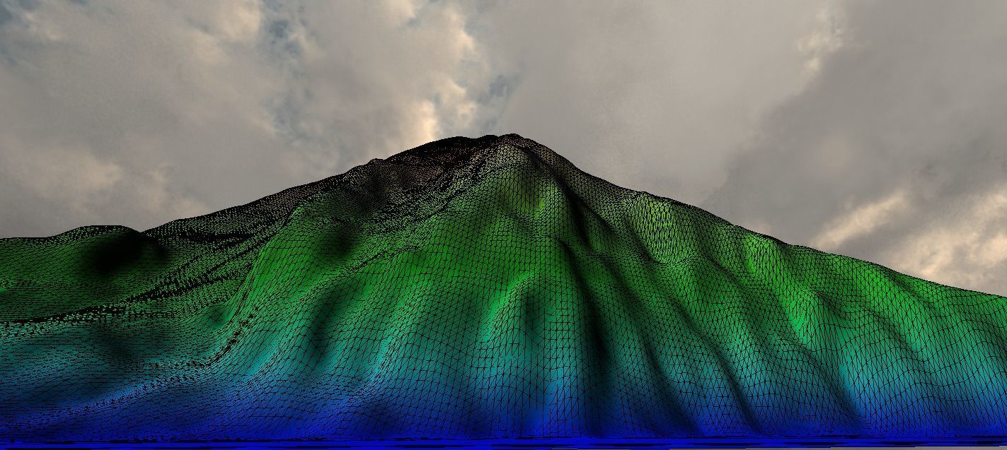
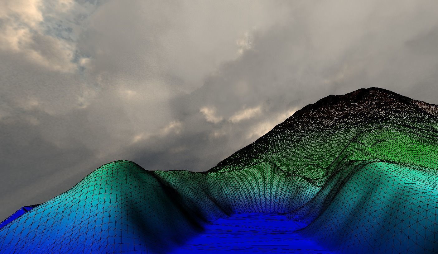
- Facets : 429680 ( 1 shells ).
segula_texture1.rar contains texture

