


North Carolina United States USA map region 3D model geography 3D model
The compressed package contains exported fbx.
For the rendering effect of this area, They all have very similar effects, please refer to: https://www.cgtrader.com/gallery/project/model-series-for-sales-map-region-3d-model-geography-political-3d-model-image-rendering-example
If there is a country boundary line in the administrative district, If there is a disputed area, which is the line of actual control, please use it in the country where the administrative district is located and pay attention to inspection.
The map projection is Mercator.
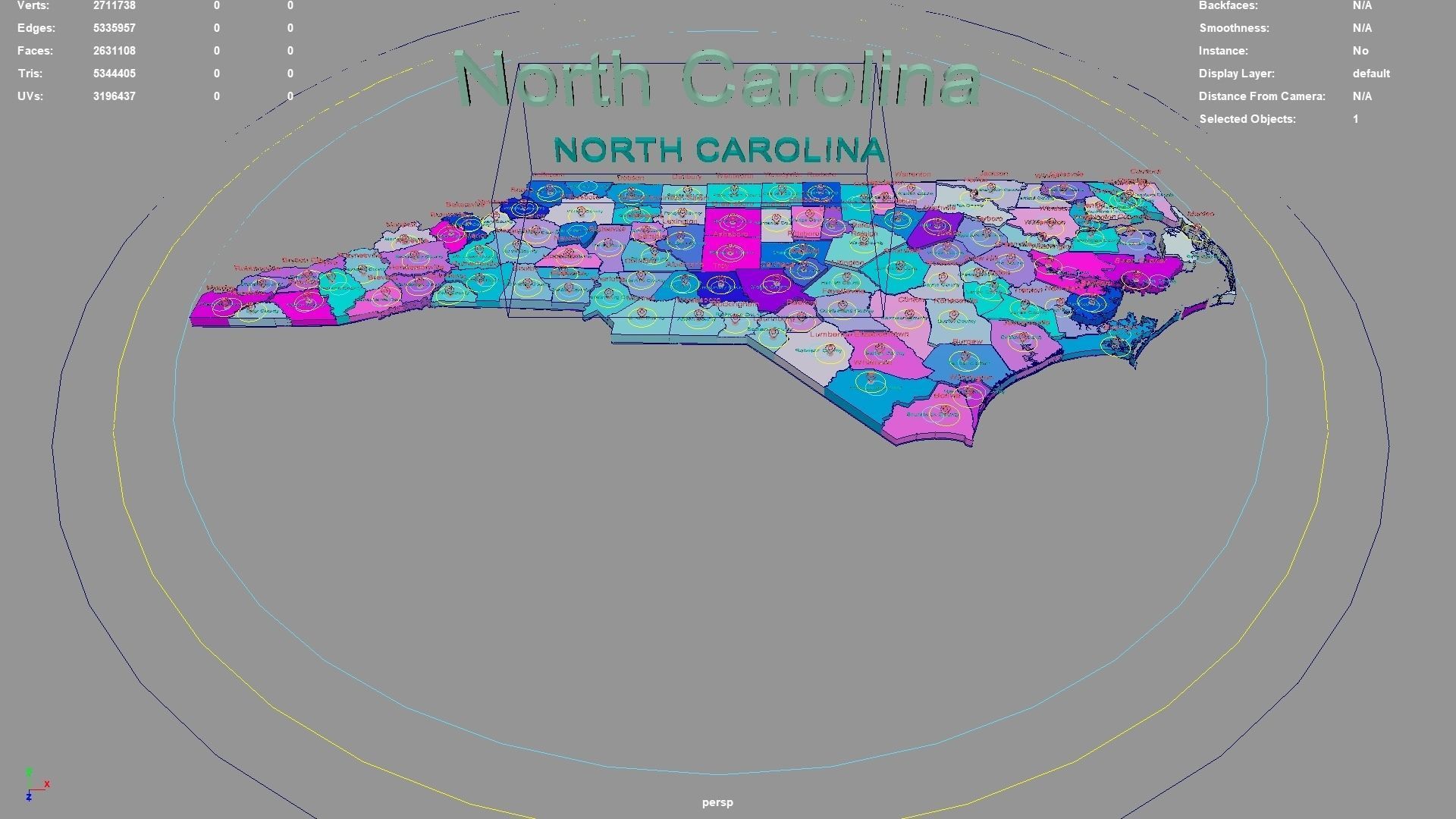
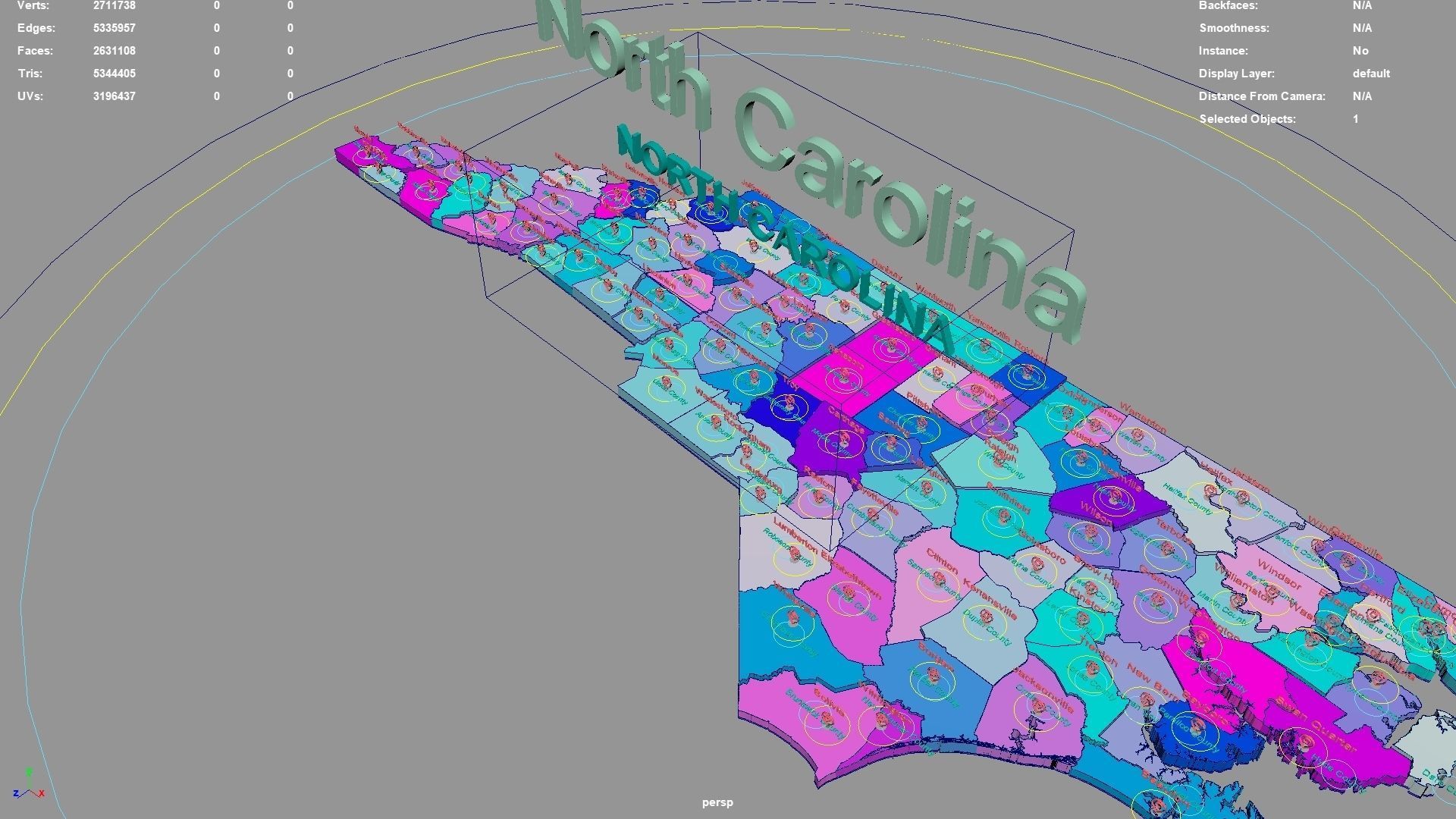
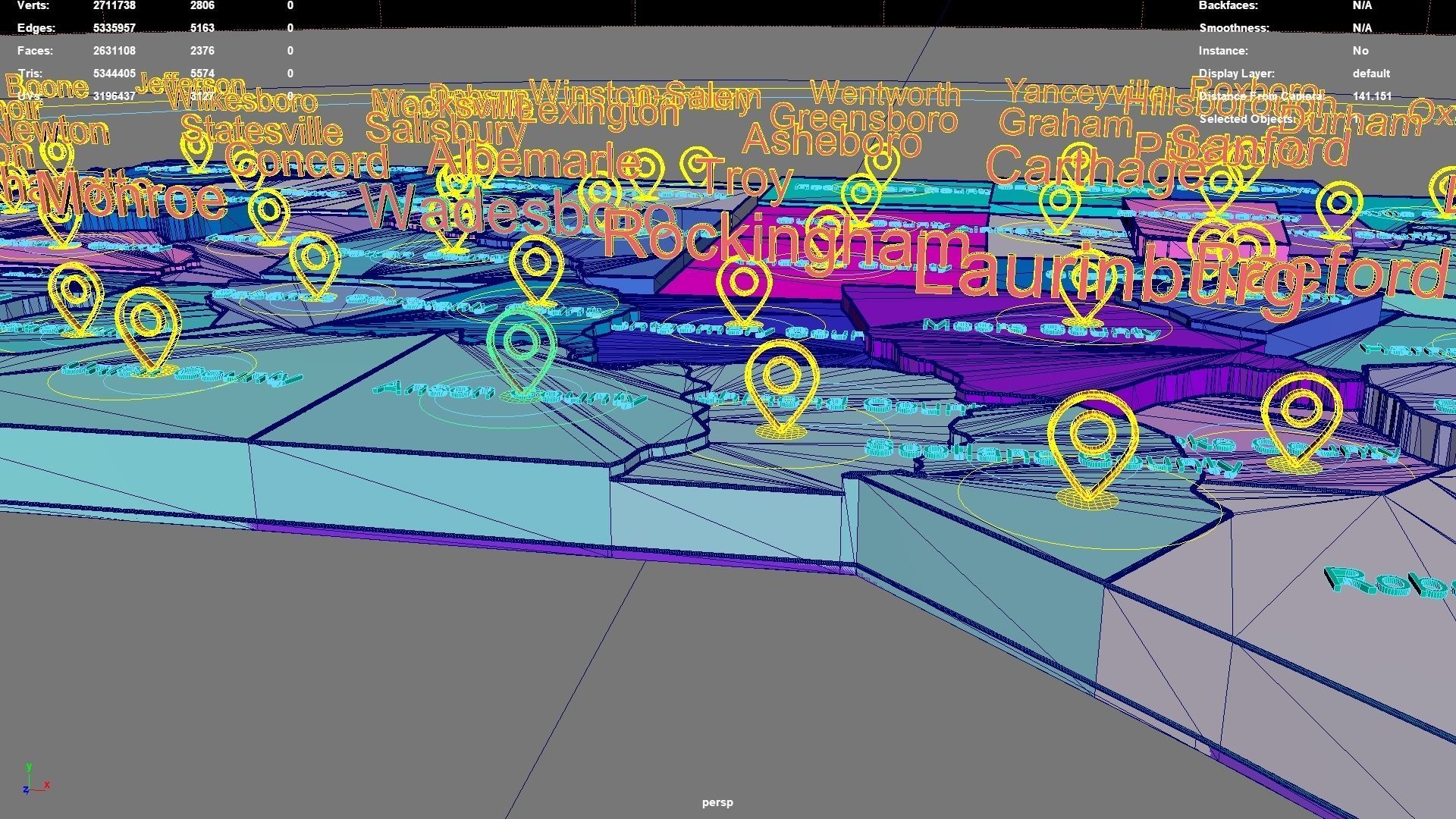
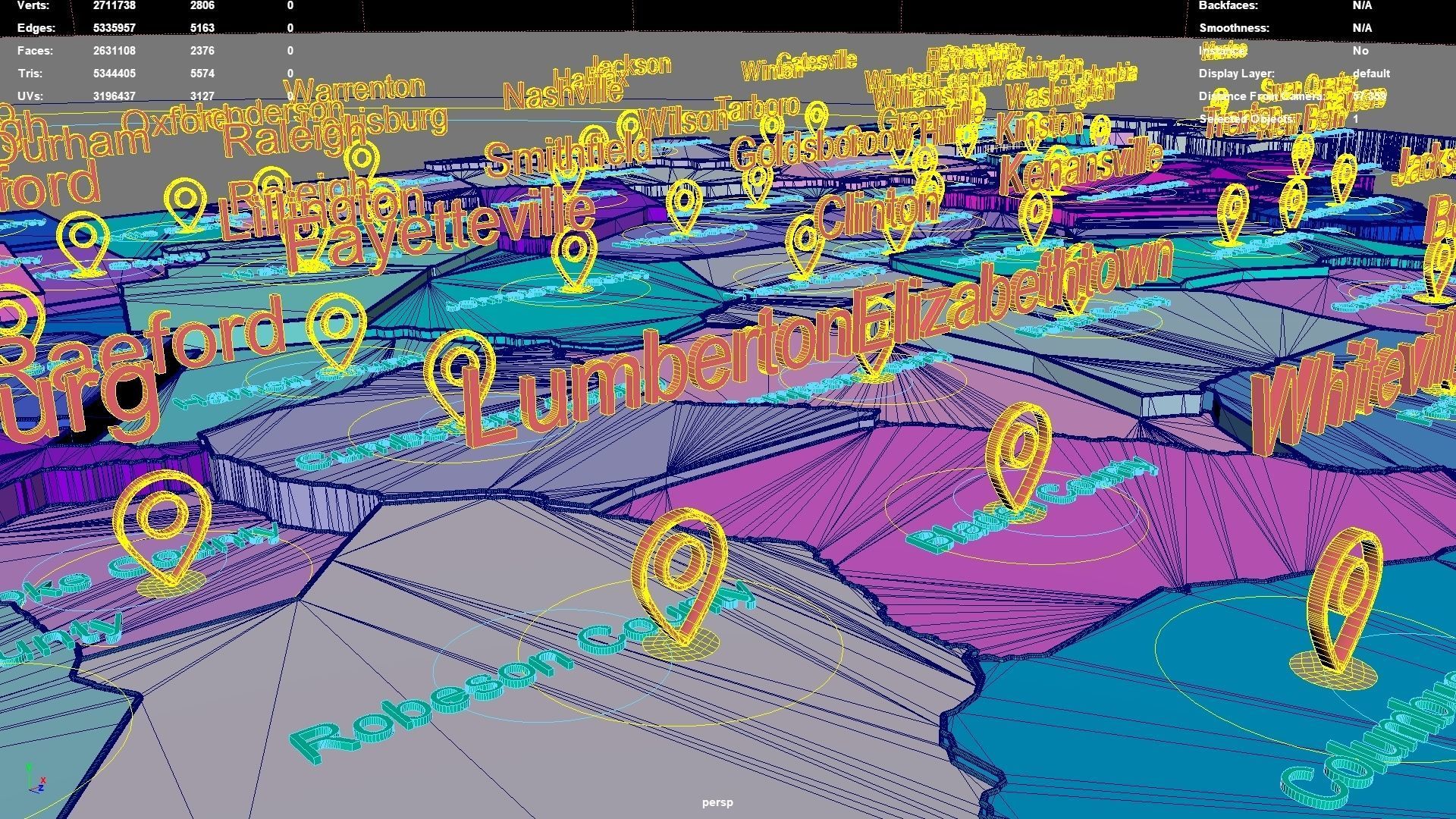
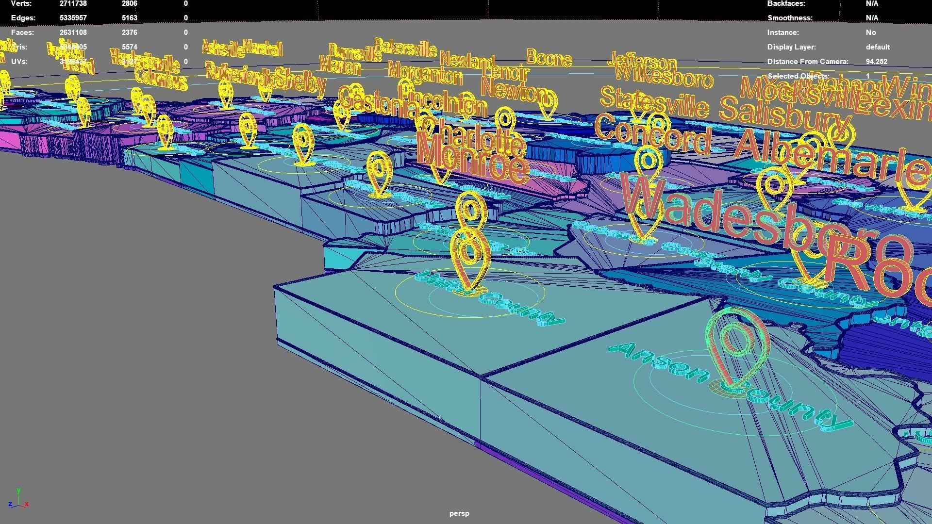
North Carolina regions : The model is divided according to the administrative region of North Carolina. Each region is clearly separated so you can easily isolate it or change the colors. Names are also editable and separate.
Model made with maya2023.
Materials applied as seen on renders.
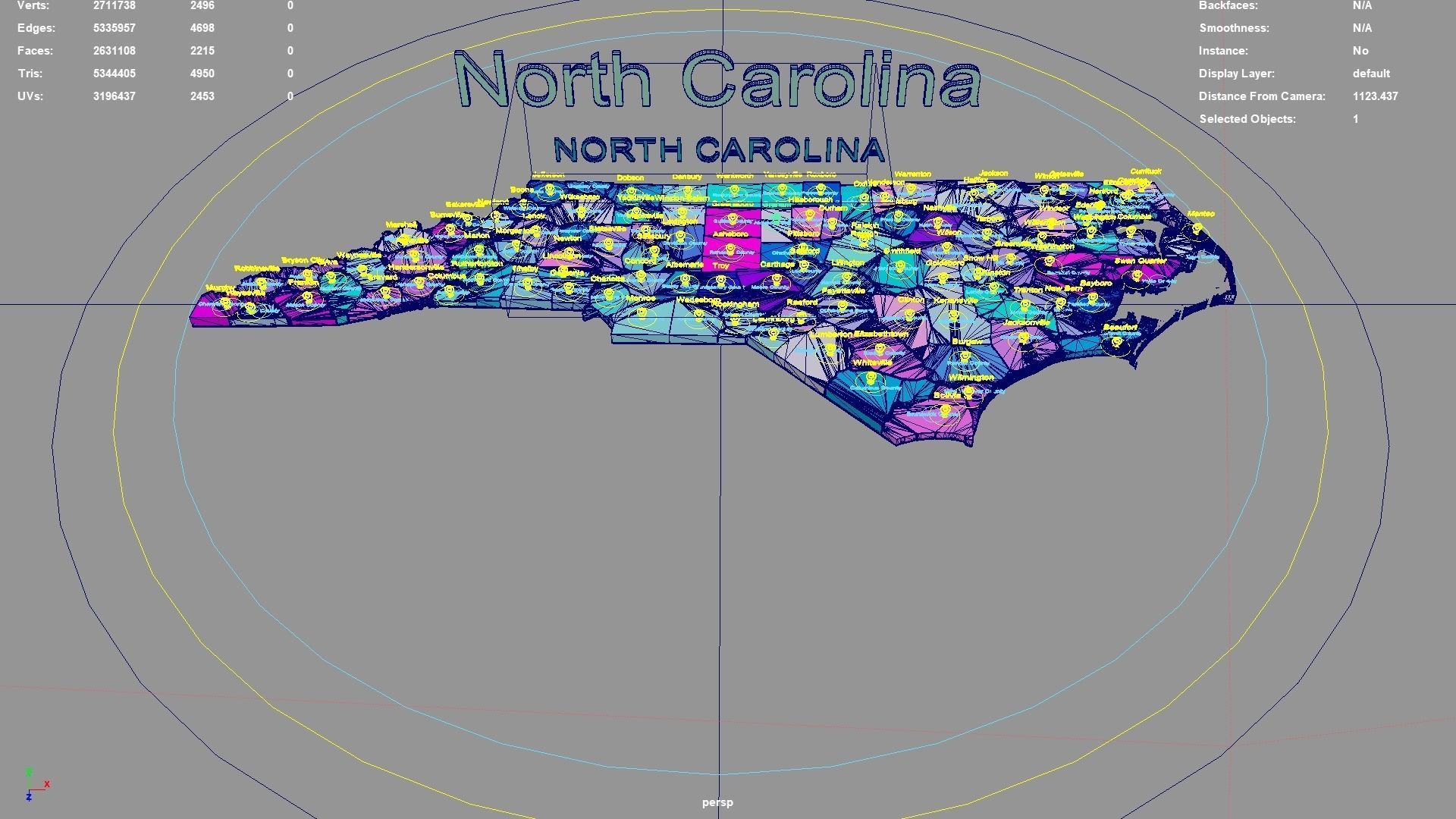
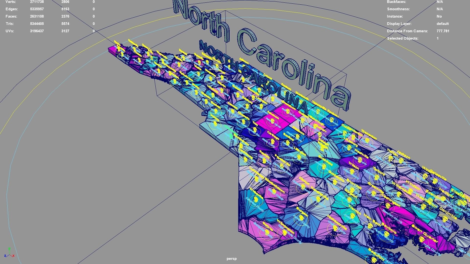
Scene is organized with all mesh named and Uv Unwrapped.
Planar UV mapped from above.
Directly below the map icon is the government location of the administrative district (not manually placed, but generated using a program based on latitude and longitude. The boundaries of the administrative district are also automatically generated by the program based on the administrative district).The administrative division and government location data were downloaded from OSM in 2023, but the data may not have been updated in 2023.The data in administrative regions is diverse and frequently changing, with potential omissions, errors, and inability to troubleshoot one by one. If your requirements are strict, you can check them yourself.
If the file uses a map, after opening the maya file, specify the map path yourself.
If there is a binding of place names, the binding details is as follows: The small curve circle below the 3D font can control the transformation of the 3D font and 3D map icon directly above (moving, rotating, scaling); 3D fonts and 3D map icons can be transformed independently. Except for the outermost large curve circle, all inner large curve circles control the overall transformation of different categories of 3D fonts and 3D map icons. The outermost curve circle controls the overall transformation of all objects.
This file retains historical records and does not collapse. The 3D font is easily adjusted.
If the extruded sweep polygonal faces are interspersed, you can press the 3 key in Maya to start smoothing, which can improve this situation. Alternatively, modify the parameters of the corresponding sweepMeshCreator node, such as changing the Interpolation Mode to Precision.
For UV snapshot, please refer to Preview images on this page.
Rendering:
Maya default renderer: arnold 5.2.1.1.
The model material is blinn.
The arnold renderer is selected for installation by default when installing maya2023.
North Carolina, United States.
North Carolina division:Hertford County,Clay County,Lee County,Columbus County,Watauga County,Alexander County,Wake County,Anson County,Iredell County,Guilford County,Dare County,Robeson County,Sampson County,Madison County,Perquimans County,Montgomery County,Halifax County,Alleghany County,Stokes County,Buncombe County,Duplin County,Alamance County,Haywood County,Cumberland County,Vance County,Randolph County,Tyrrell County,Harnett County,Carteret County,Pitt County,Lenoir County,Wilkes County,Gaston County,Jones County,Surry County,McDowell County,Orange County,Cabarrus County,Granville County,Wayne County,Durham County,Mitchell County,Rowan County,Graham County,Greene County,Polk County,Transylvania County,Martin County,Wilson County,Lincoln County,Craven County,Pender County,Edgecombe County,Avery County,Currituck County,Gates County,Cherokee County,New Hanover County,Bertie County,Caswell County,Davidson County,Macon County,Warren County,Cleveland County,Hyde County,Moore County,Pamlico County,Catawba County,Pasquotank County,Union County,Bladen County,Franklin County,Rutherford County,Nash County,Brunswick County,Mecklenburg County,Hoke County,Henderson County,Chowan County,Onslow County,Northampton County,Caldwell County,Washington County,Forsyth County,Chatham County,Yancey County,Jackson County,Davie County,North Carolina,Richmond County,Stanly County,Scotland County,Ashe County,Burke County,Beaufort County,Johnston County,Swain County,Yadkin County,Camden County,Person County,Rockingham County.
North Carolina, United States .map,region,3D model,geography,political,geographic,administrative division,city Landscape.
Similar Models

Users who bought this item also bought...
