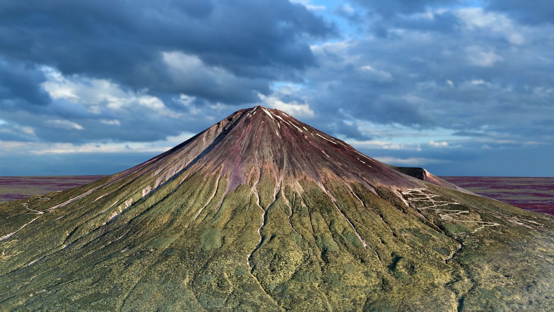
Mount Fuji Landscape 3D model
First of all, as far as I'm concerned Mount Fuji crater does not accumulate a mass of water, but I really liked the looks of it ;) This is a triangulated mesh model, fully scaled, georeferenced in UTM projected coordinates and generated with controlled precision to ensure proportions integrity. This means that one can take measurements and perform spatial analysis with an high degree of confidence (below metric precision). The model was developed in metric system, with and approximated area of 15000ha/38600ac, 18km/11mi along the main diagonals, 2700 meters of height difference between top and surroundings. Native format (.obj) plus (.mtl) and (.jpeg) base texture. The scene was rendered on blender and all the elements you see on thumbnails are included on model package (DEM exception). In blender scene objects were reduced to 1/10 its original size and brought close to origin to improve hardware performance, but (.obj) file will show original scale and georeference. From the main triangulated mesh I developed the DIGITAL ELEVATION MODEL AND THIS IS NOT INCLUDED ON THIS PACKAGE. If you have interest on the color coded relief check out my other published model Mount Fuji Landscape plus Digital Elevation Model. Feel free to contact me if you have any doubts about the model or if you want a similar model from a different location. PLEASE READ DESCRIPTION AND CHECK THUMBNAILS TO EVALUATE PACKAGE CONTENT BEFORE BUYING.


