

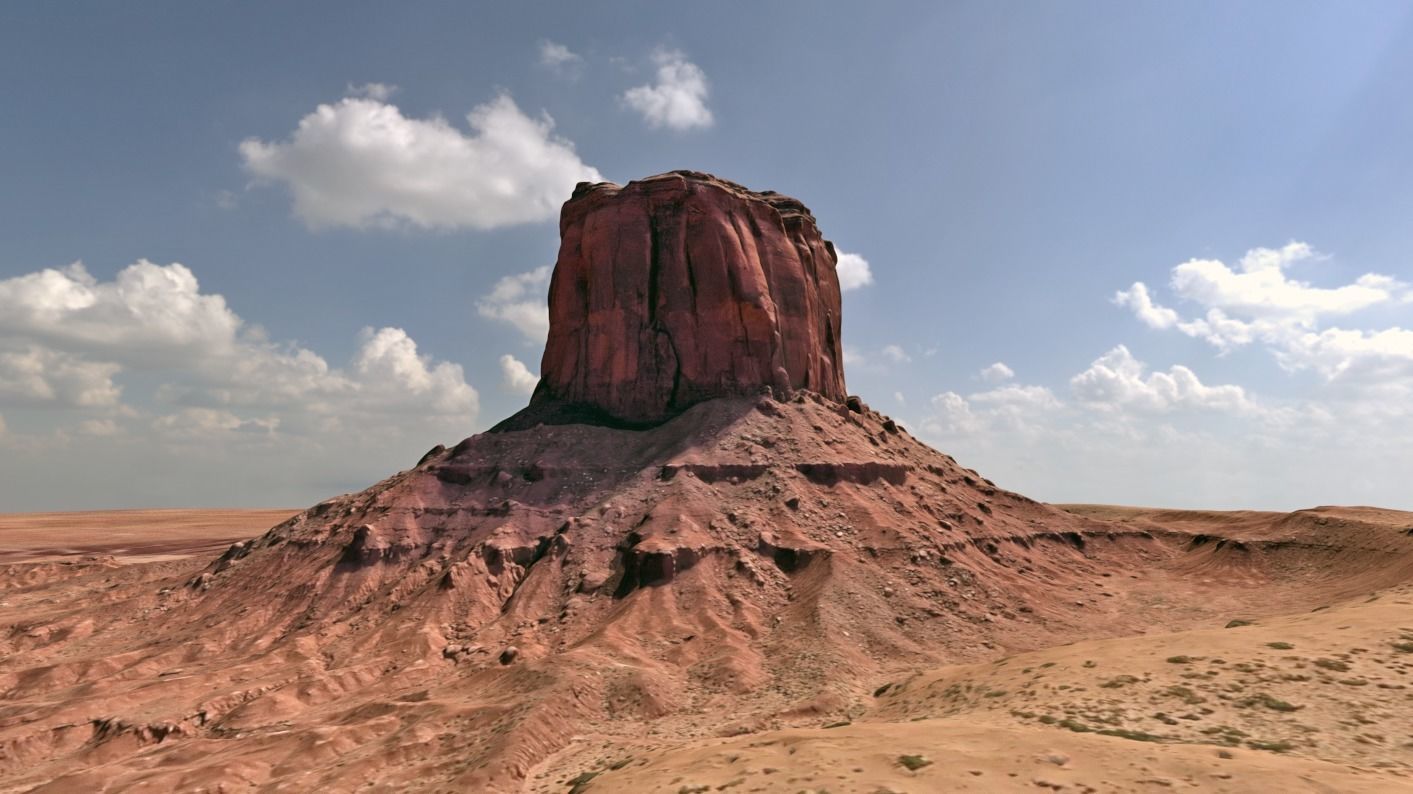
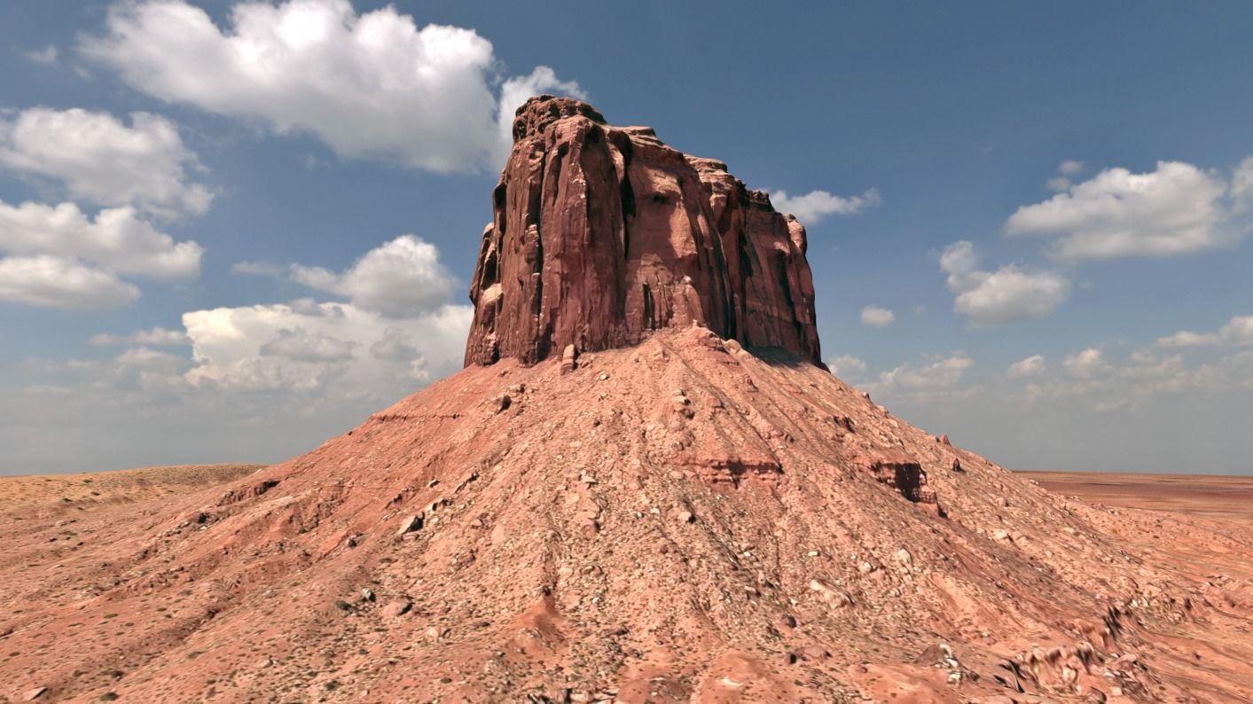
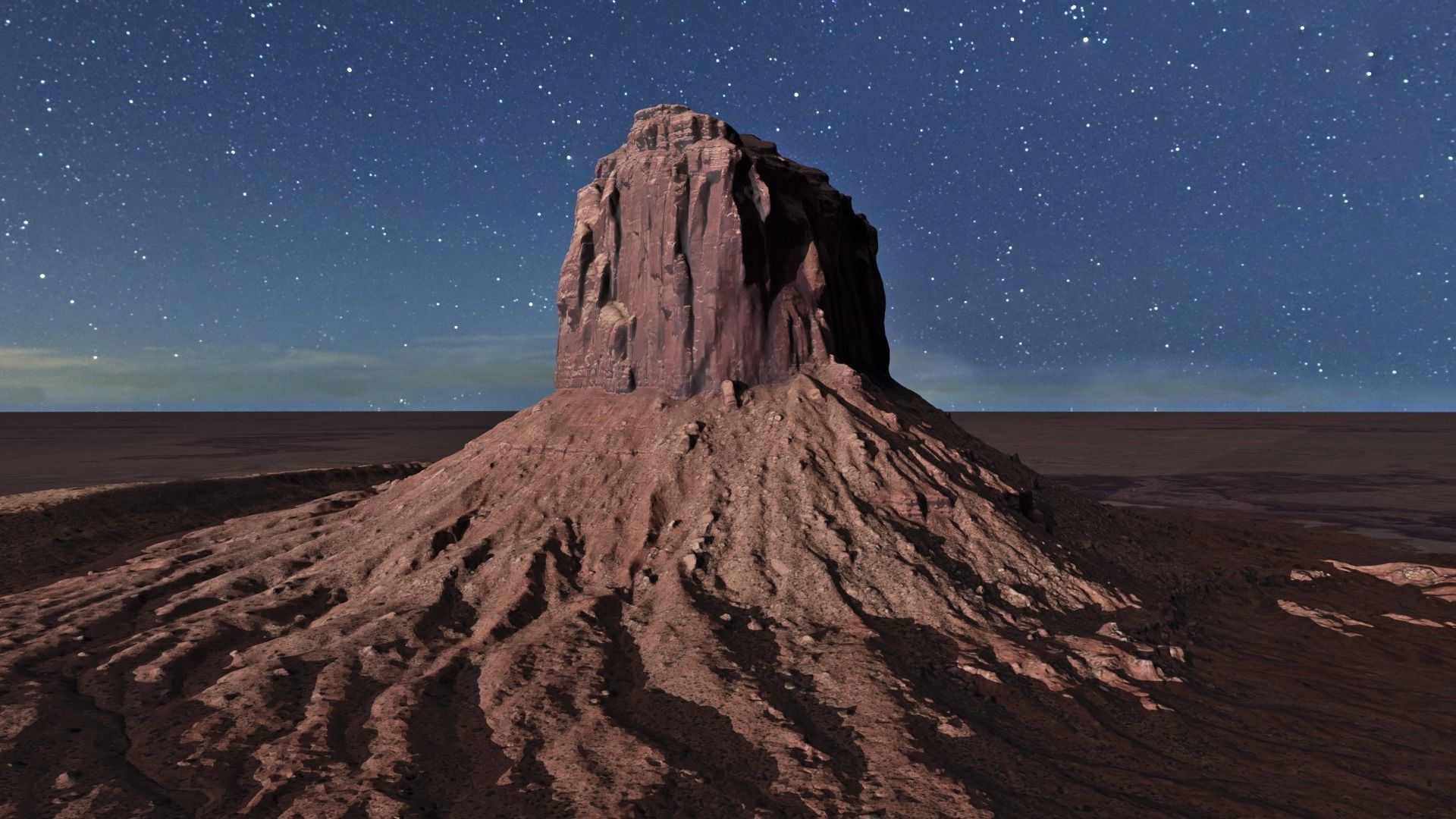
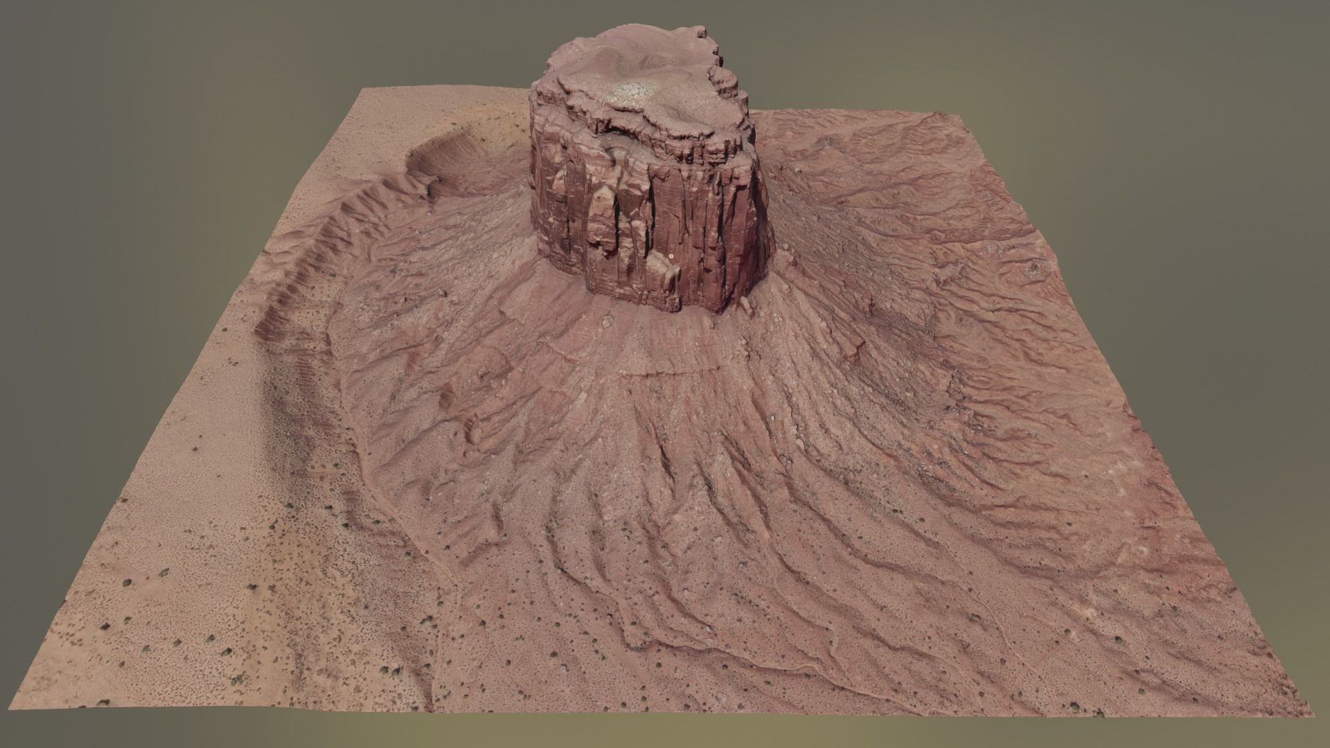
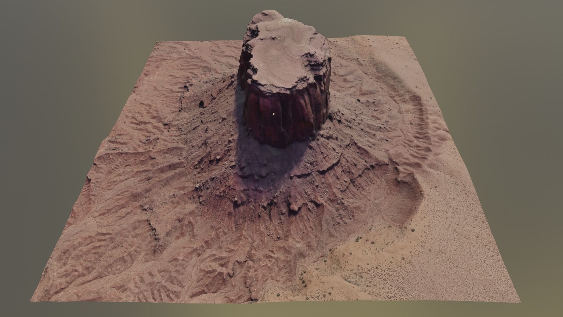
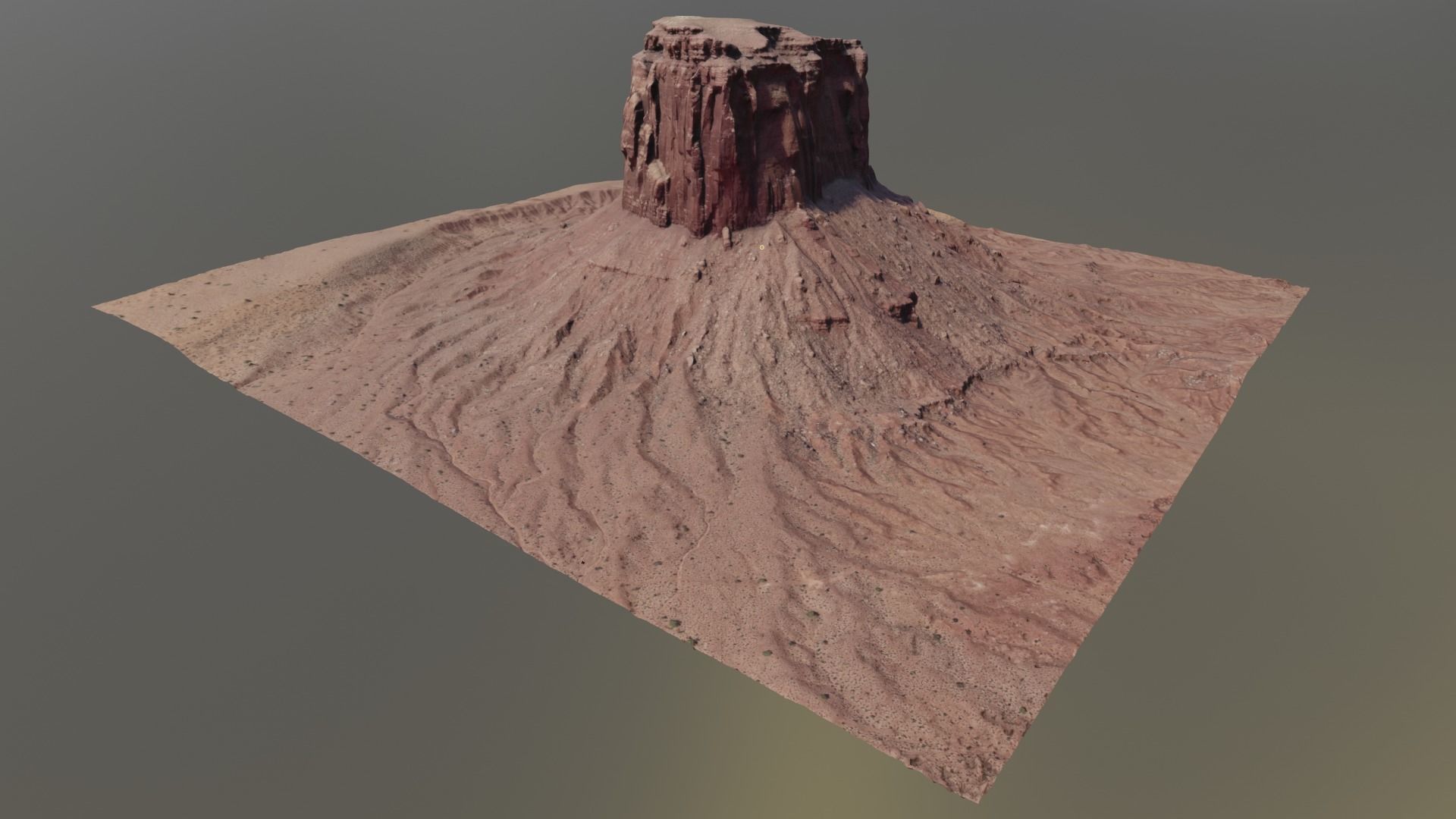
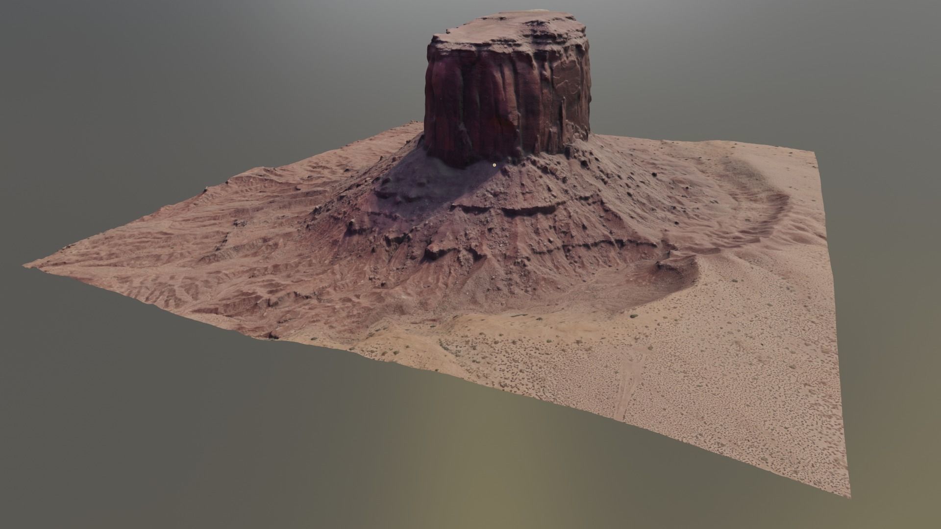
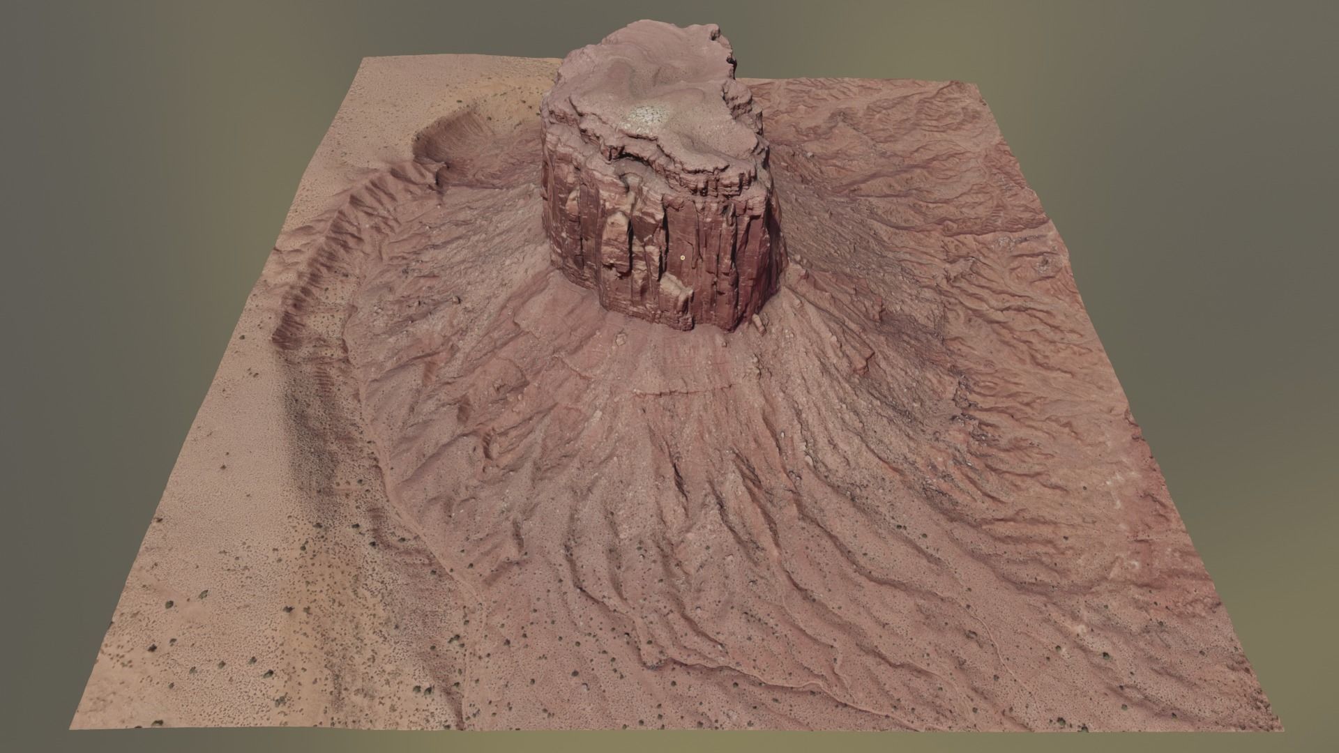
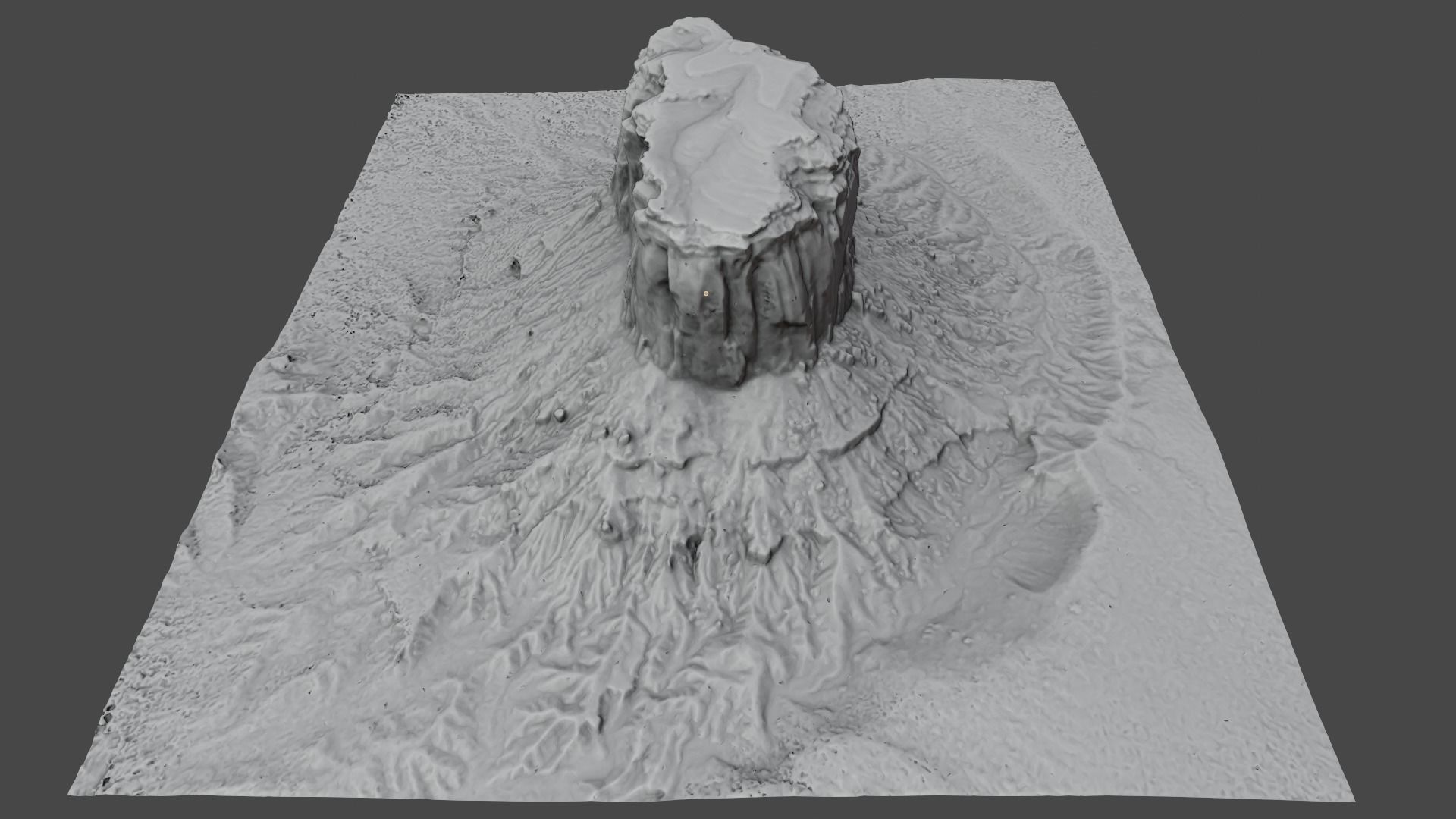
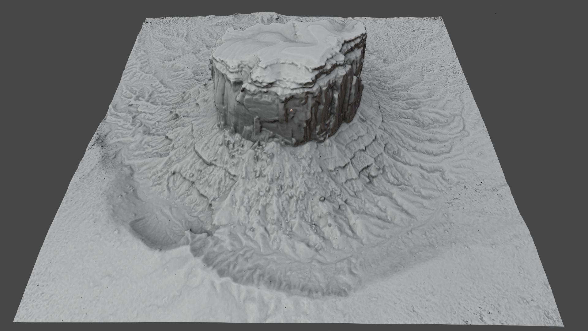
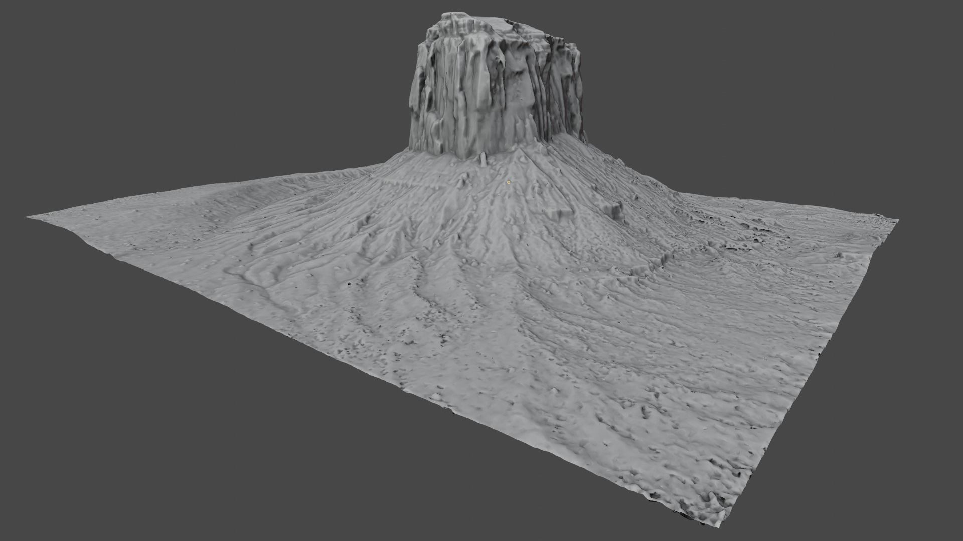
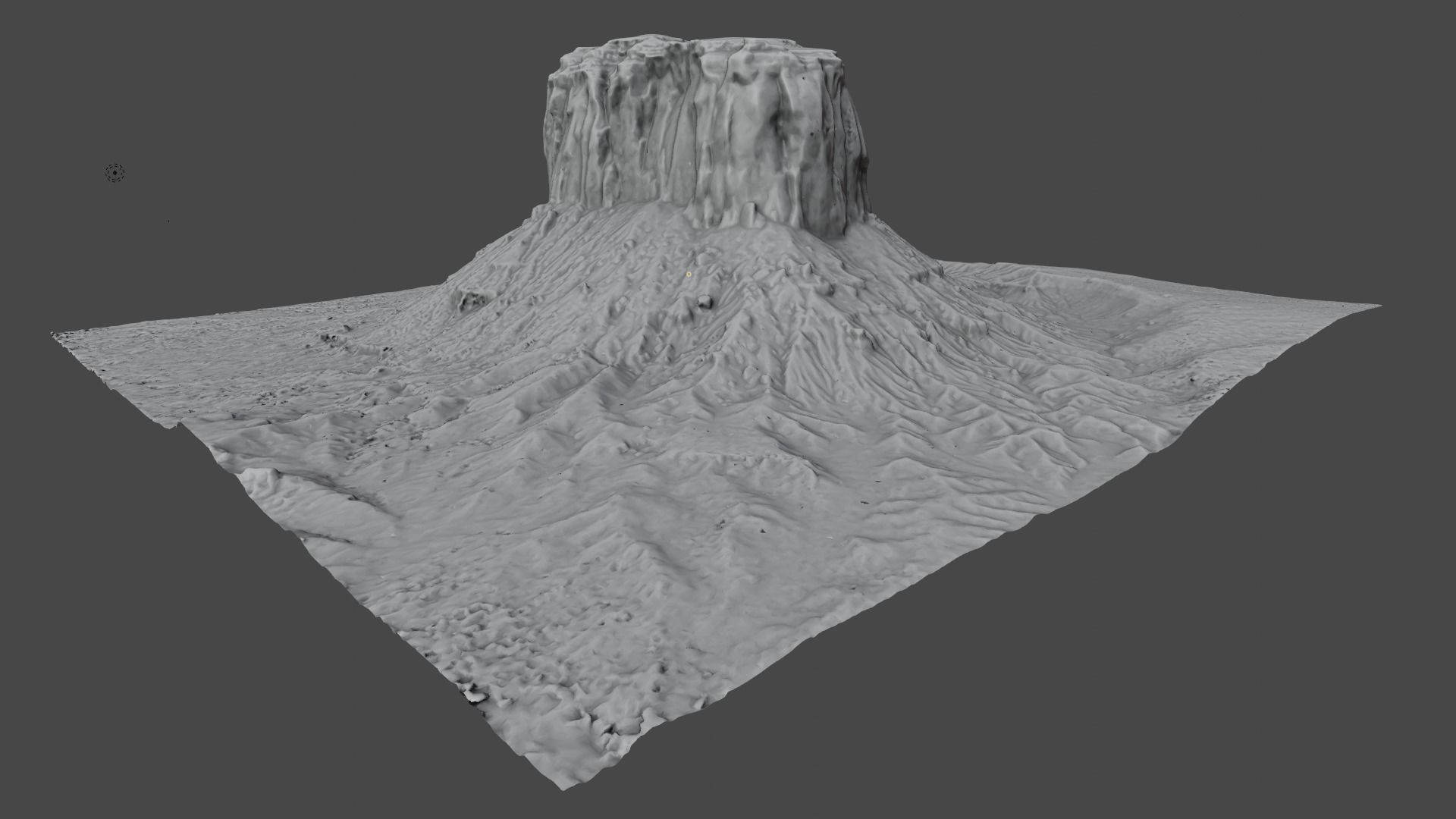
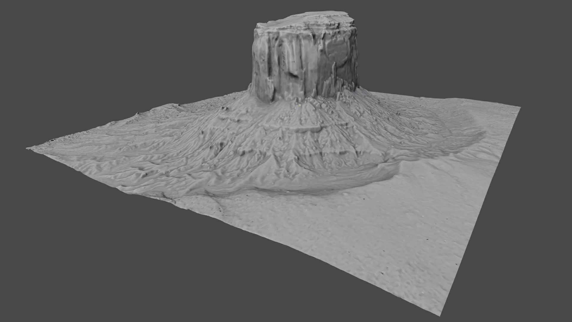
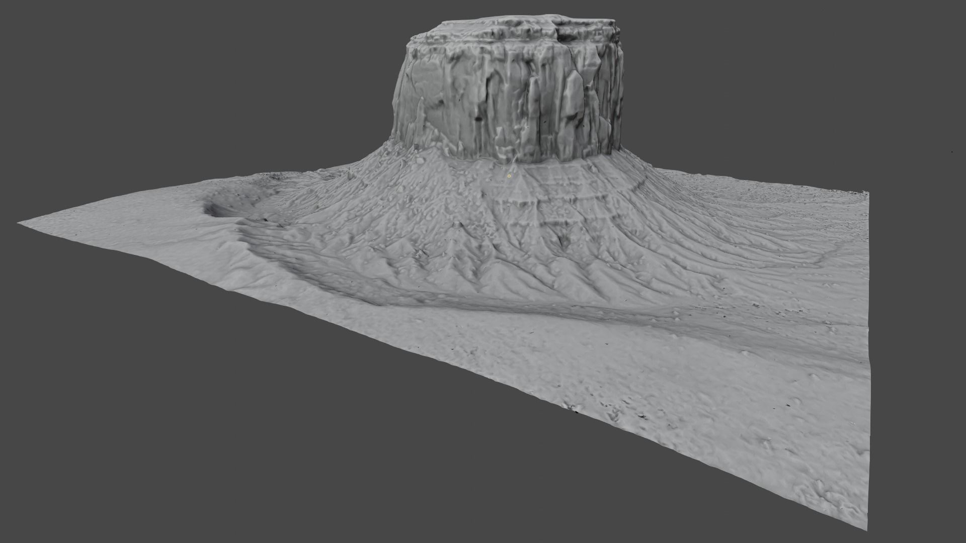

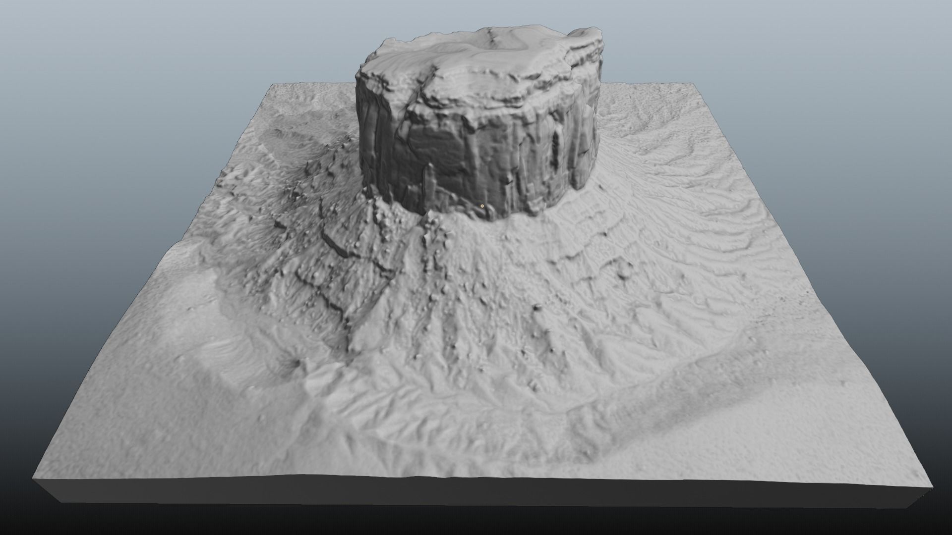
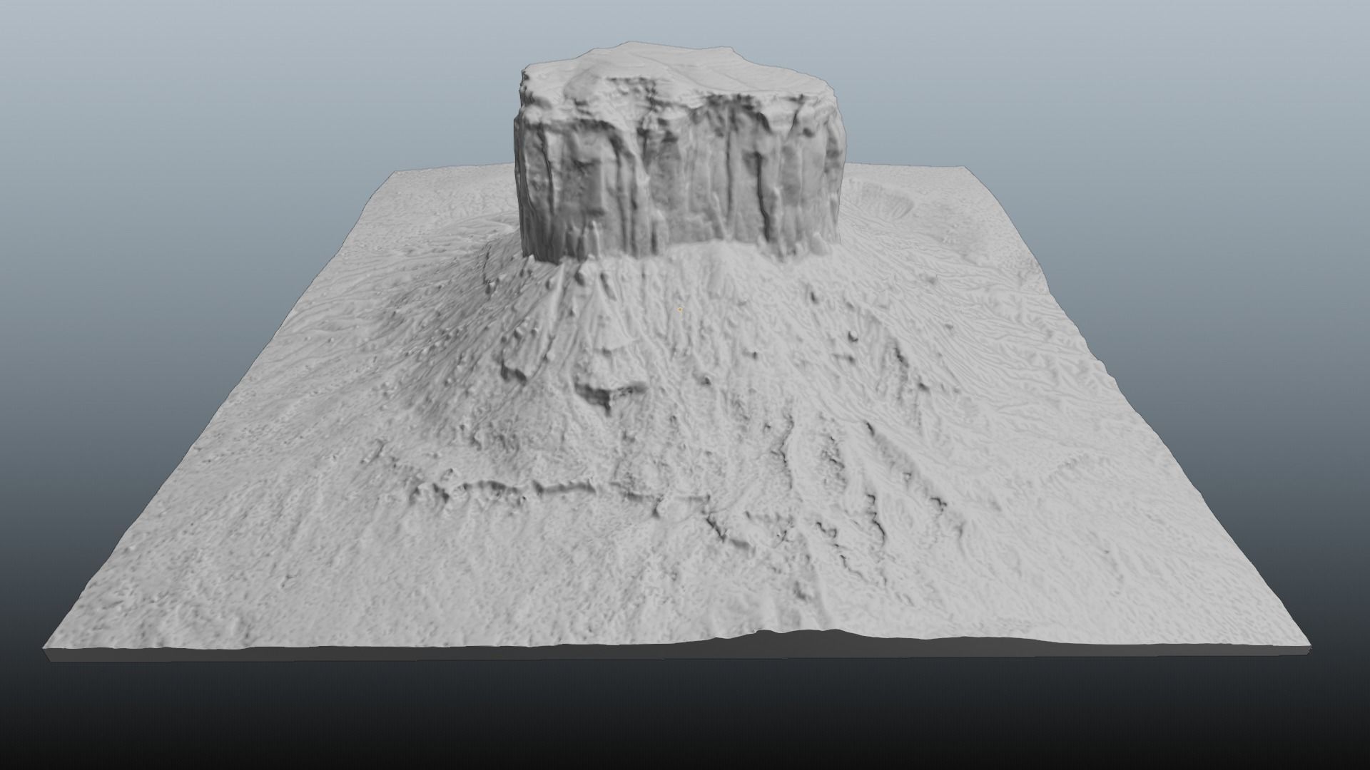


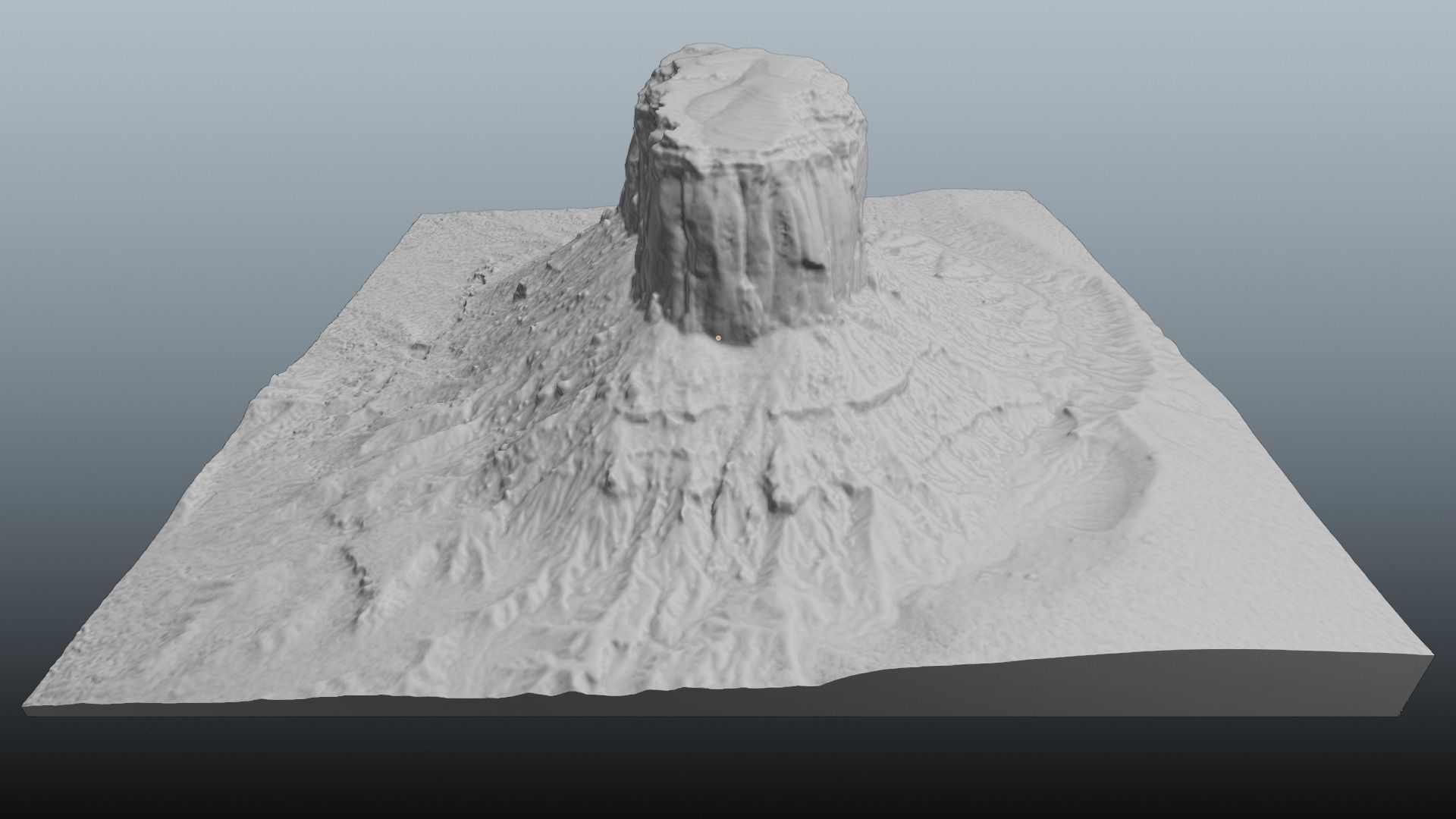
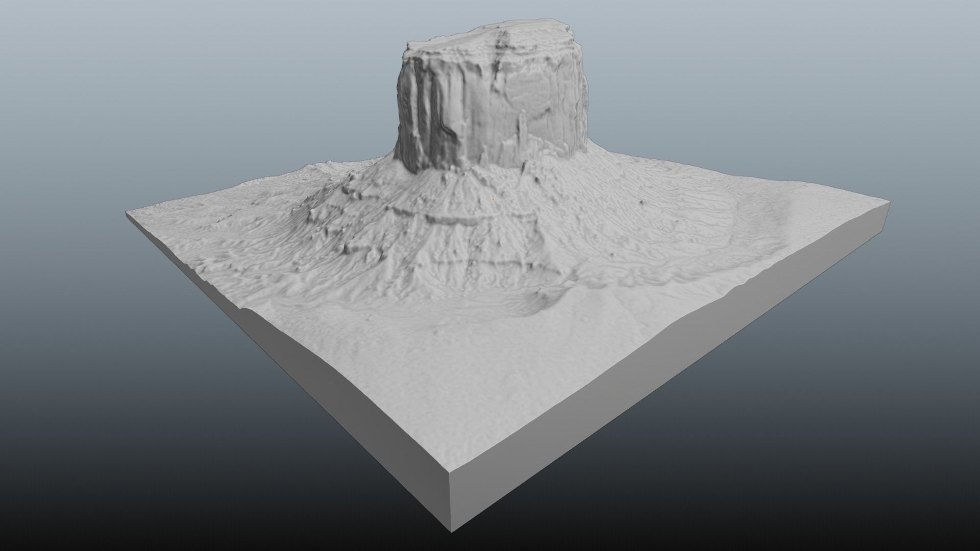
Monument Valley Mitchell Butte Multipurpose Terrain Model 3D model
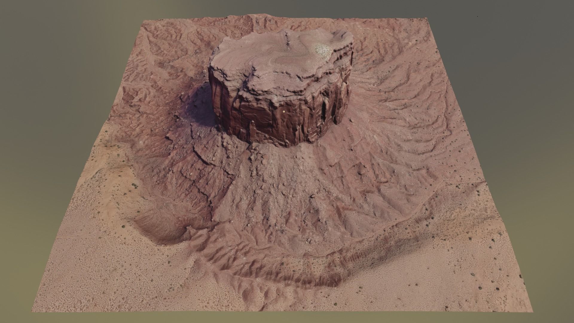
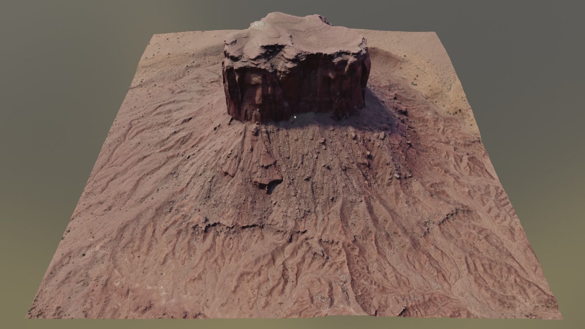
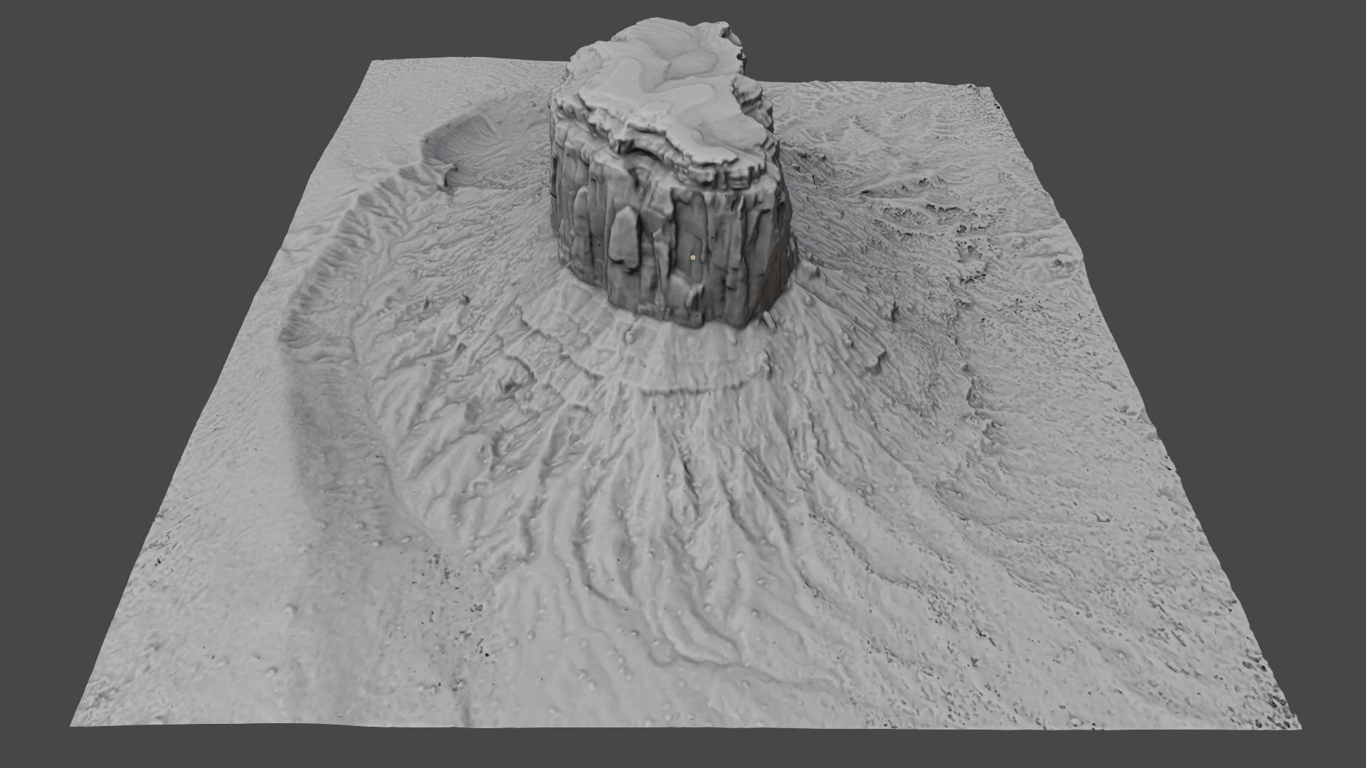
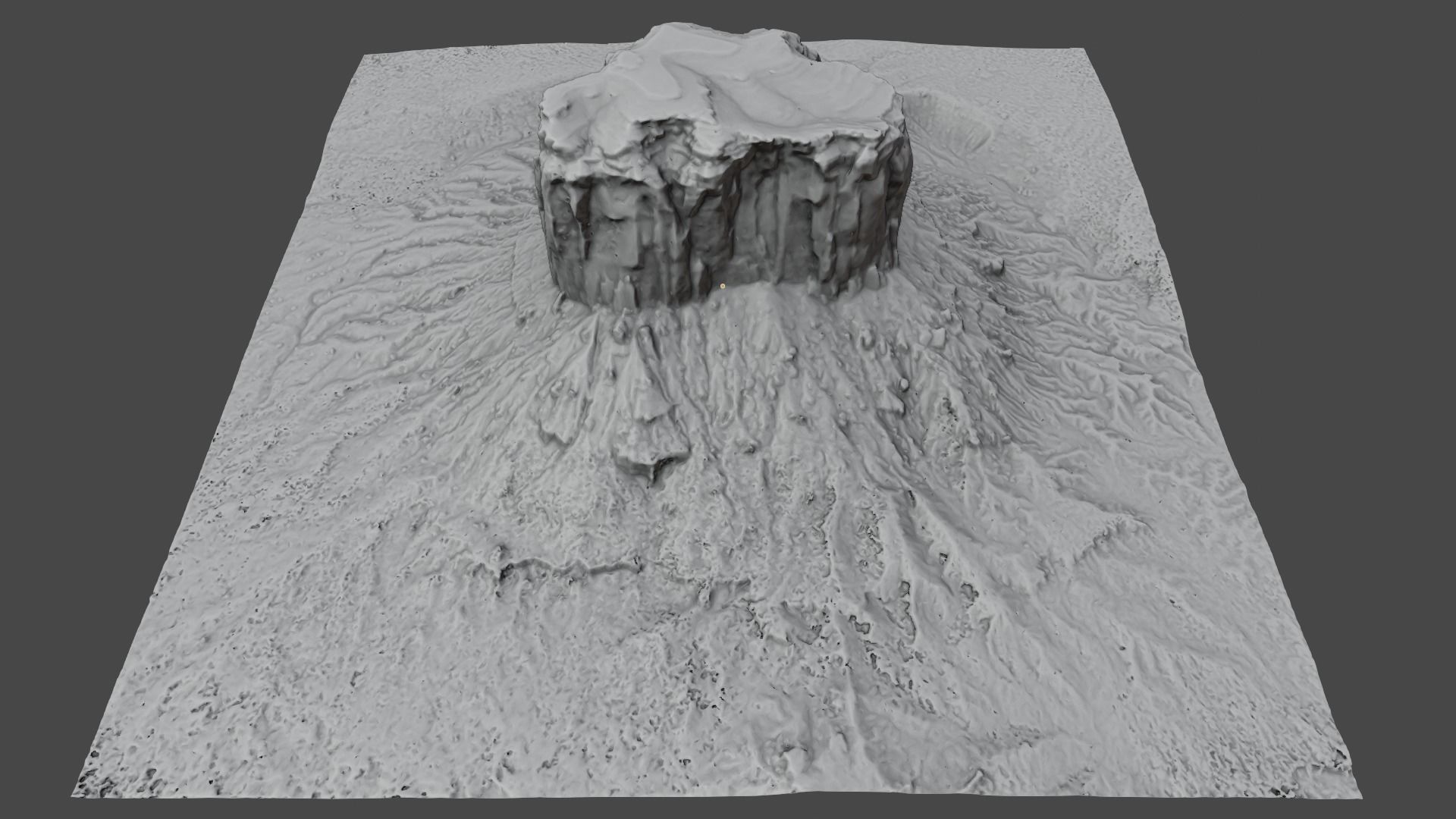
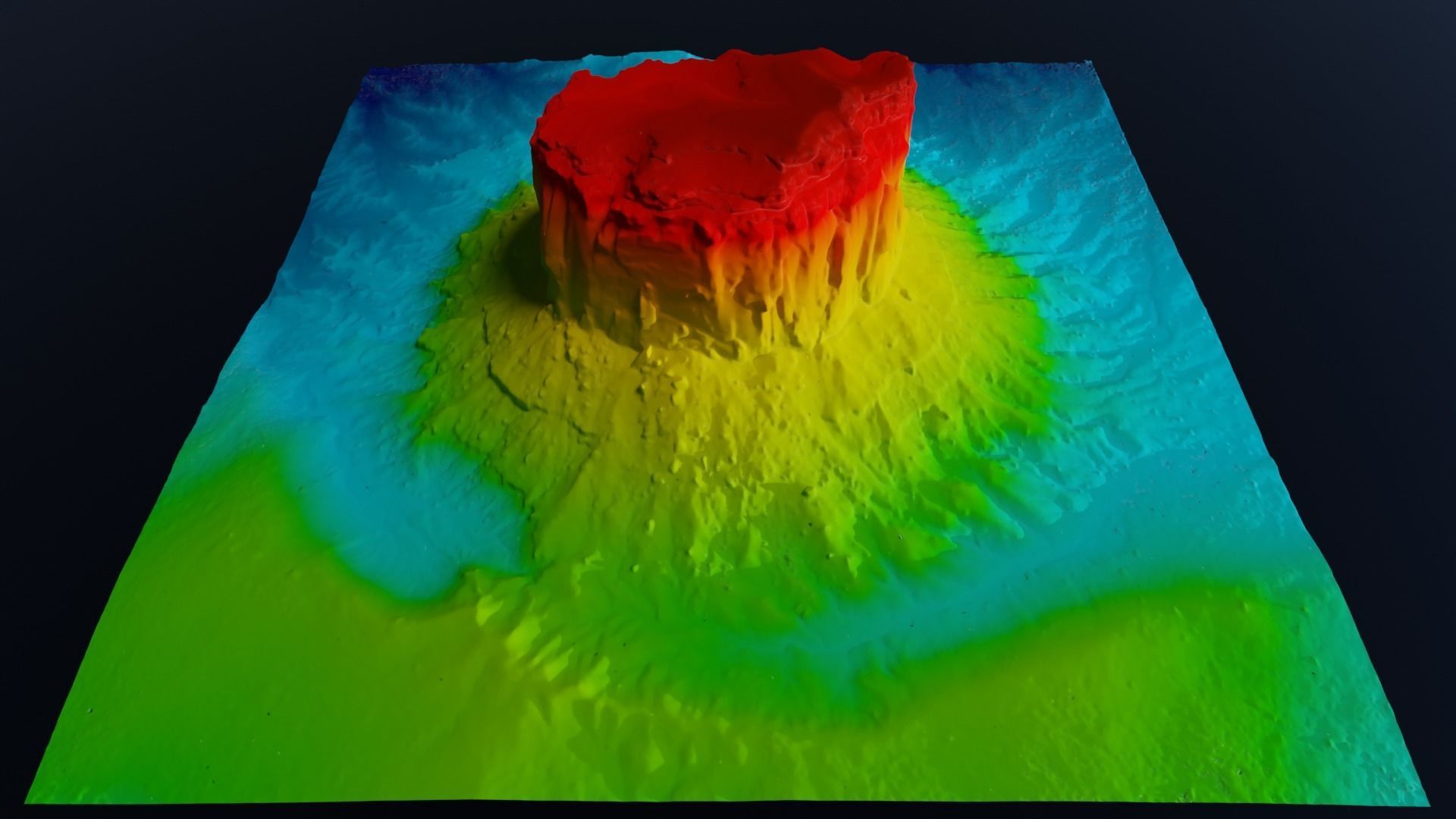
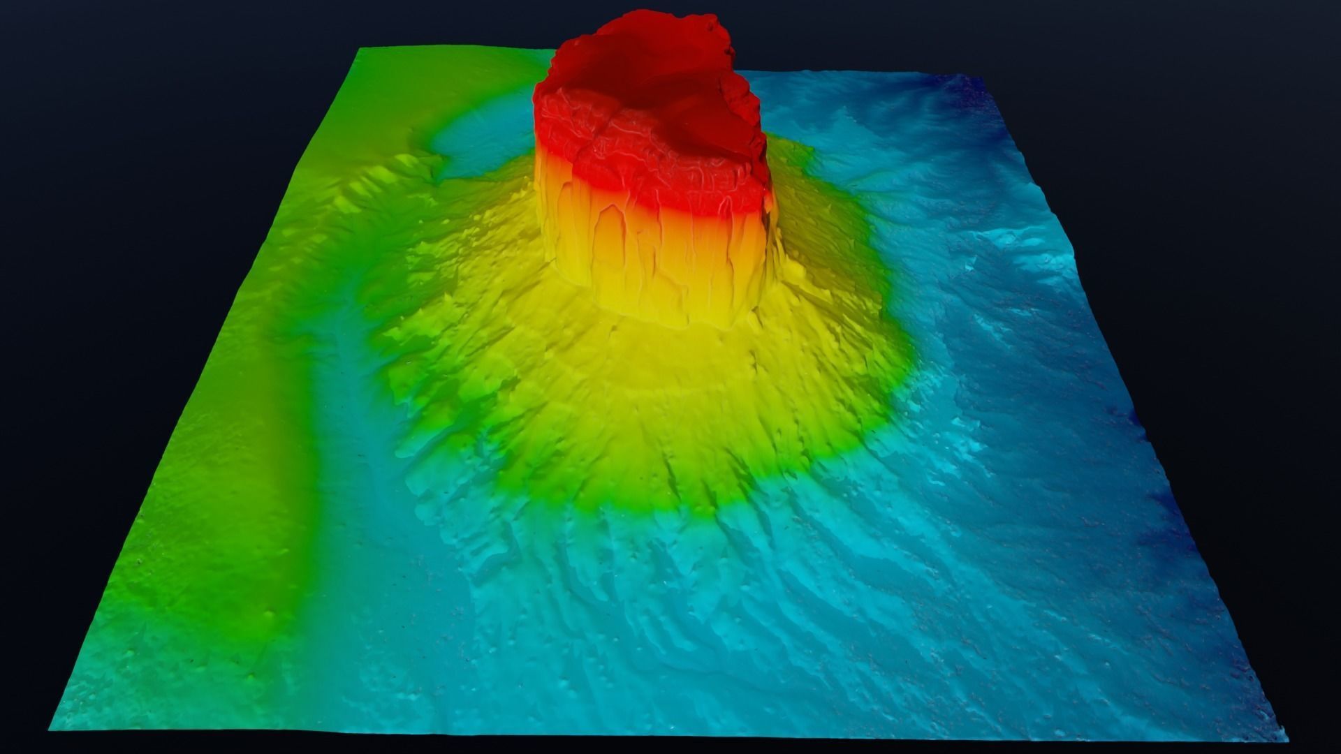
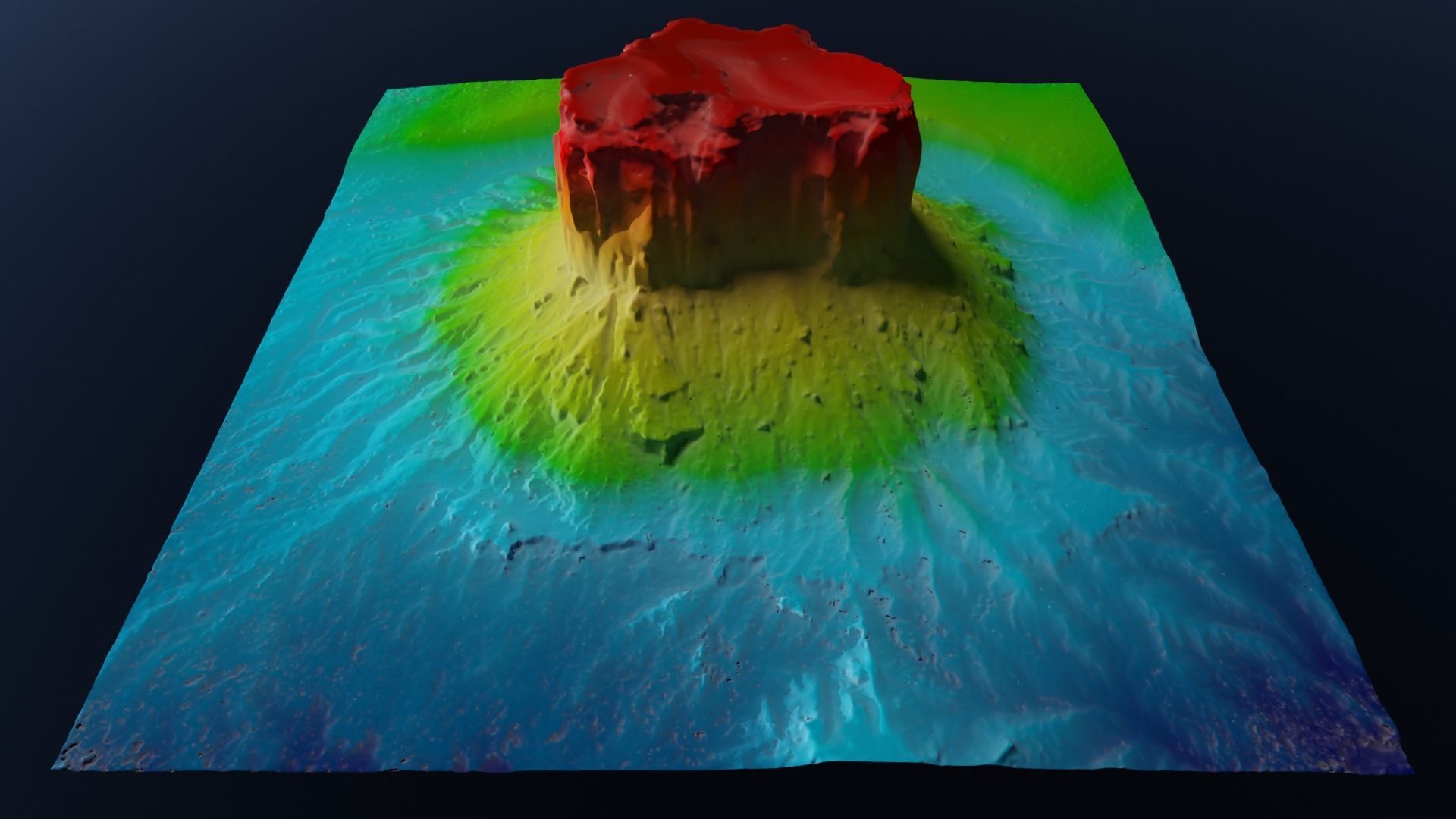
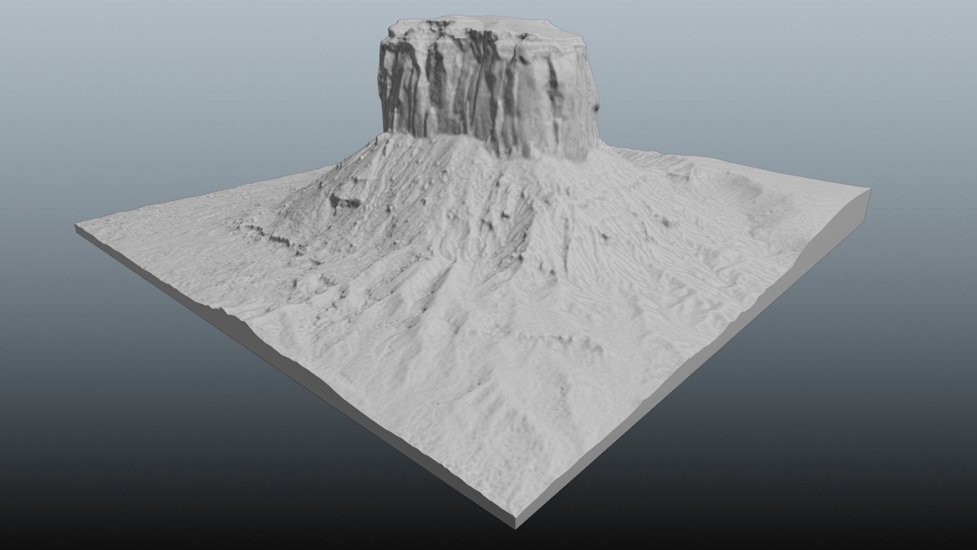
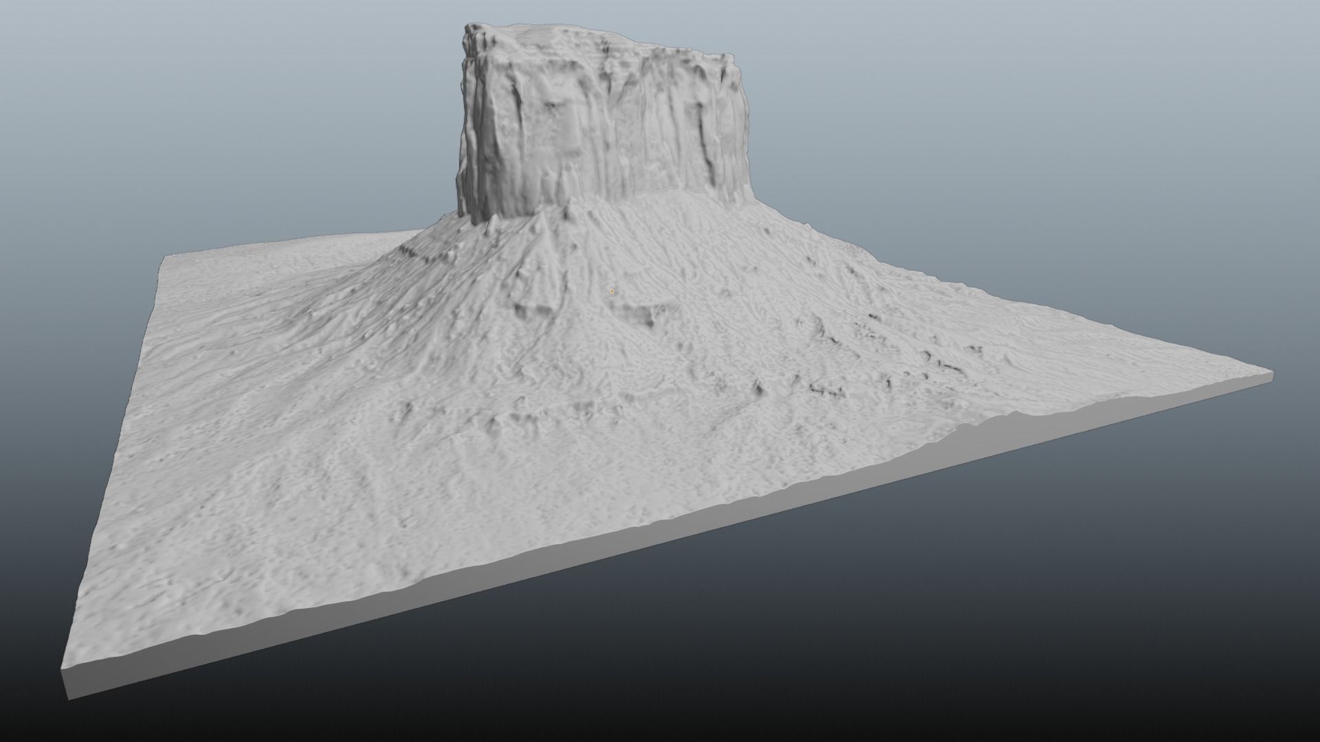
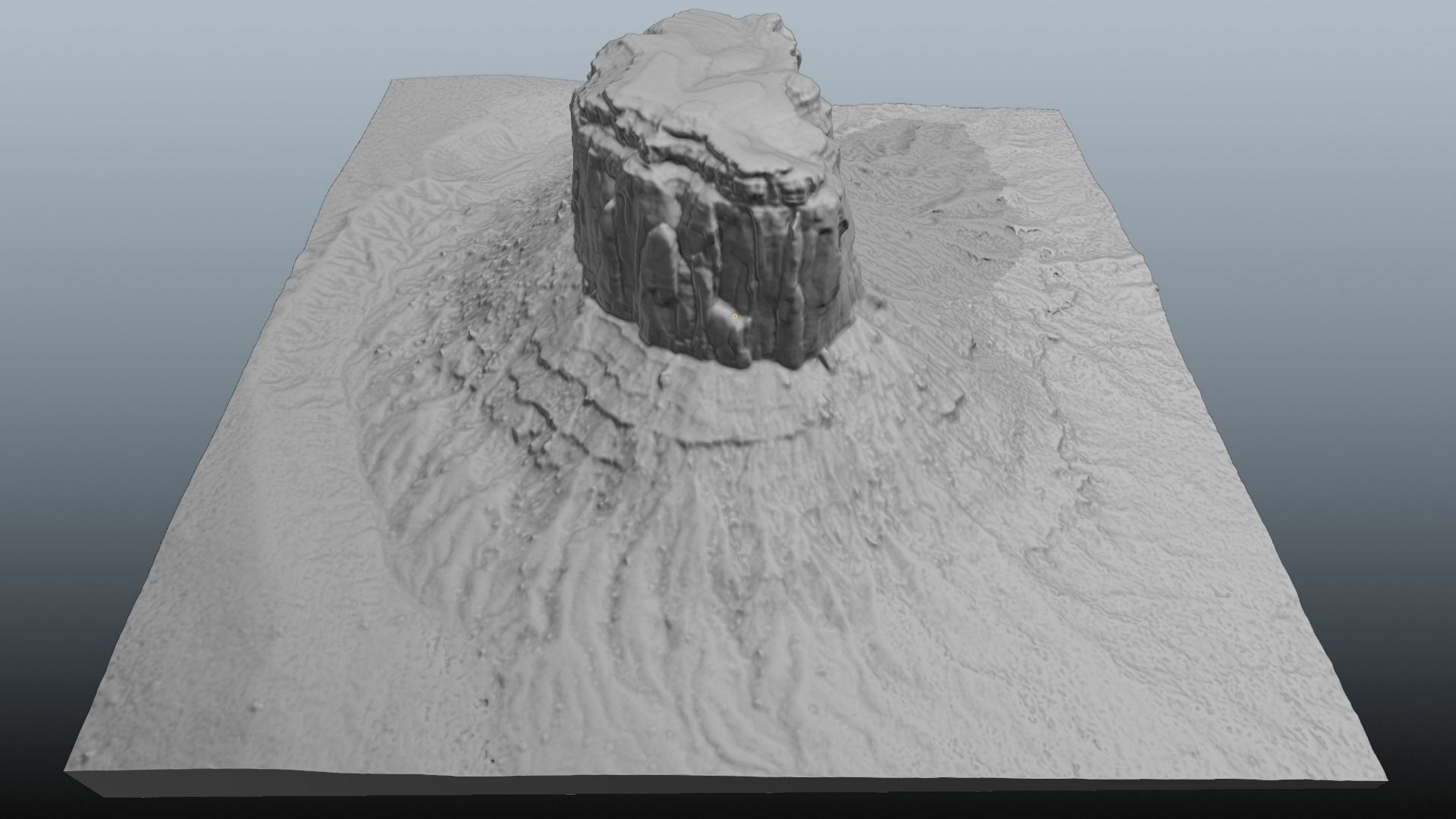
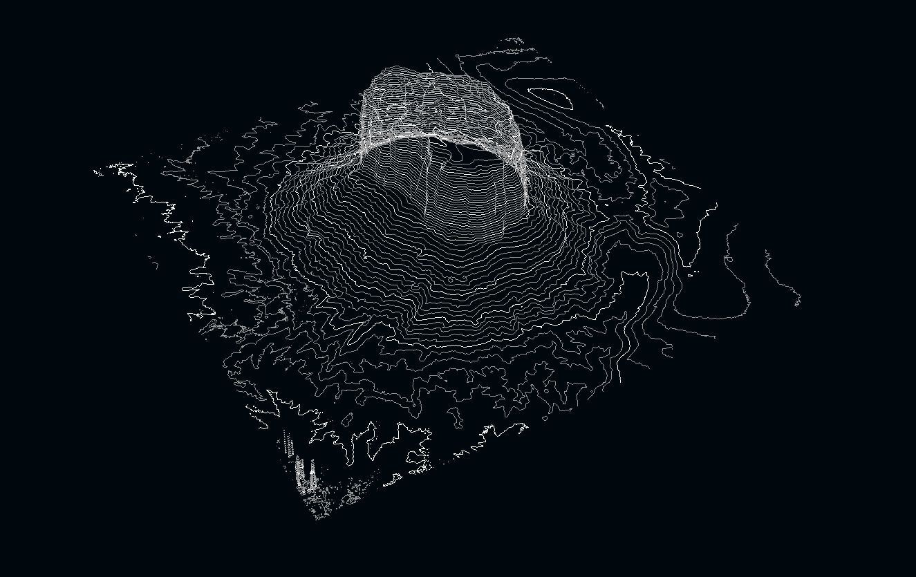
Please read description and check all thumbnails to access package content before buy.Developed from long range imagery and elevation data, the model was built as an irregular triangulated grid mesh with optimized geometry (reduced polycount) and depicts an approximated area of 120ha/297ac. Generated at full scale, metric system under controlled precision to ensure correct proportions (UTM projected coordinates) this model can be used in several contexts. Package includes Terrain mesh plus three texture maps, 32k map resolution (obj, mtl, jpg formats, diffuse, normal and occlusion), Terrain mesh with embedded texture (fbx format)Realistic scene with terrain mesh, environment sky, simple textured base plane to extend horizon and coherent light sources (blend format with external maps setup).Raster elevation model XYZ projected coordinates (.geotiff format) useful for analytical purposes (contour model not included). Solid terrain model, trimmed and remeshed as regular quads topology ready to 3D printer or CNC lathe (stl format, metric at full scale, usually show up as millimeters in the device controller).Model was brought close to origin to improve rendering performance. Elevation map will show up at original UTM placement.Contact me if you need some more information about the model or if you need a similar model to a different location

3D Model formats
Format limitations
- Blender 3.2.1 (.blend)522 MBVersion: 3.2.1Renderer: Cycles
- OBJ (.obj, .mtl)125 MB
- Autodesk FBX (.fbx)123 MB
- Stereolithography (.stl)48.1 MB
3D Model details
- Publish date2024-06-04
- Model ID#5325163
- Animated
- Rigged
- VR / AR / Low-poly
- PBR
- Geometry Polygon mesh
- Polygons 700,000
- Vertices 1,051,547
- Textures
- Materials
- UV Mapping
- Unwrapped UVs Mixed
- Plugins used
- Ready for 3D Printing
Similar Models

