


Mississippi United States USA map region 3D model geography 3D model
The compressed package contains exported fbx.
For the rendering effect of this area, They all have very similar effects, please refer to: https://www.cgtrader.com/gallery/project/model-series-for-sales-map-region-3d-model-geography-political-3d-model-image-rendering-example
If there is a country boundary line in the administrative district, If there is a disputed area, which is the line of actual control, please use it in the country where the administrative district is located and pay attention to inspection.
The map projection is Mercator.
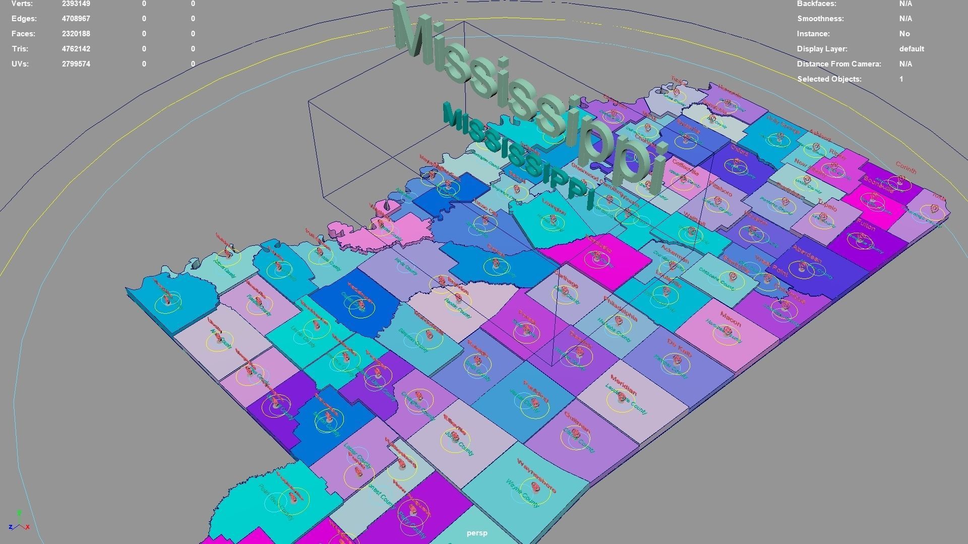
Mississippi regions : The model is divided according to the administrative region of Mississippi. Each region is clearly separated so you can easily isolate it or change the colors. Names are also editable and separate.
Model made with maya2023.
Materials applied as seen on renders.
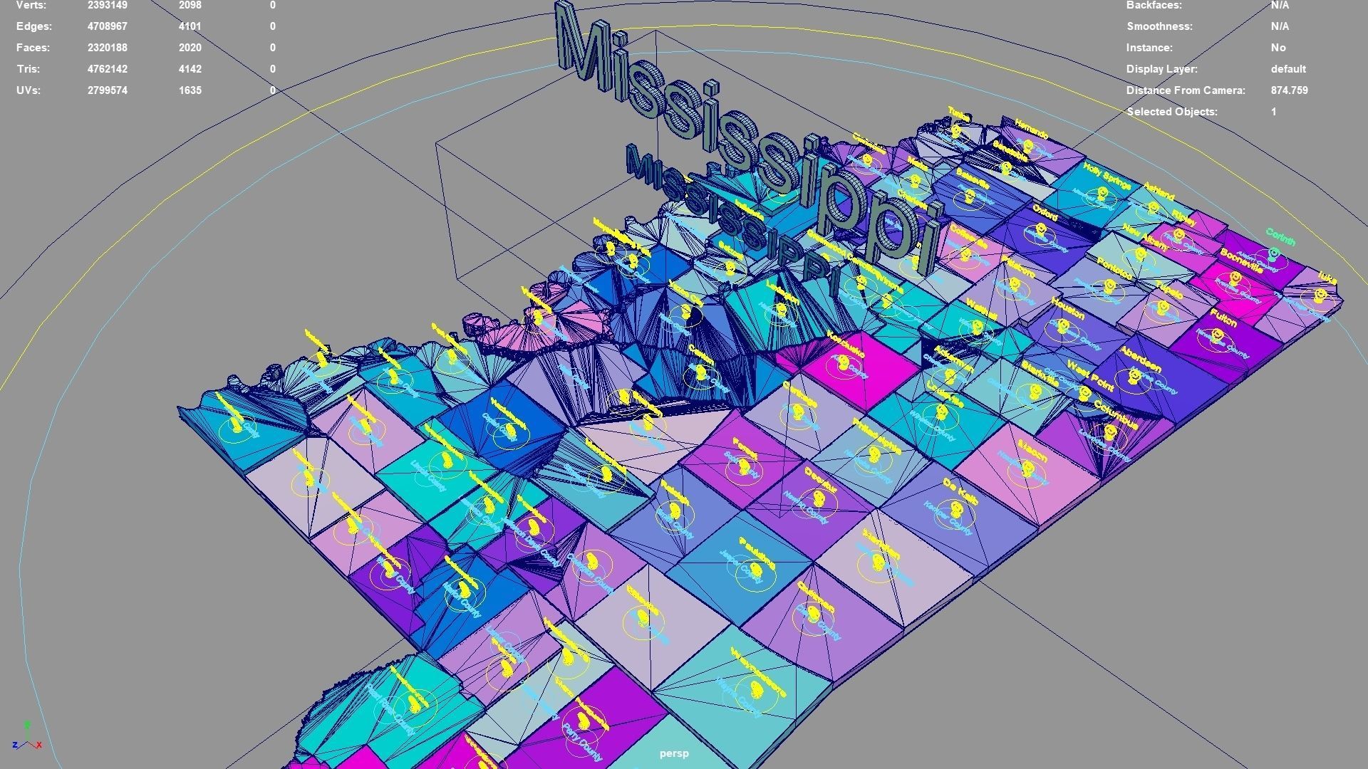
Scene is organized with all mesh named and Uv Unwrapped.
Planar UV mapped from above.
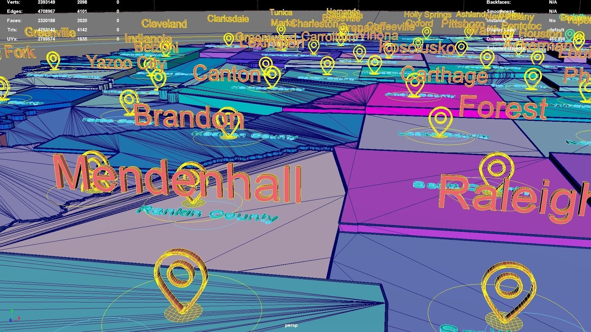
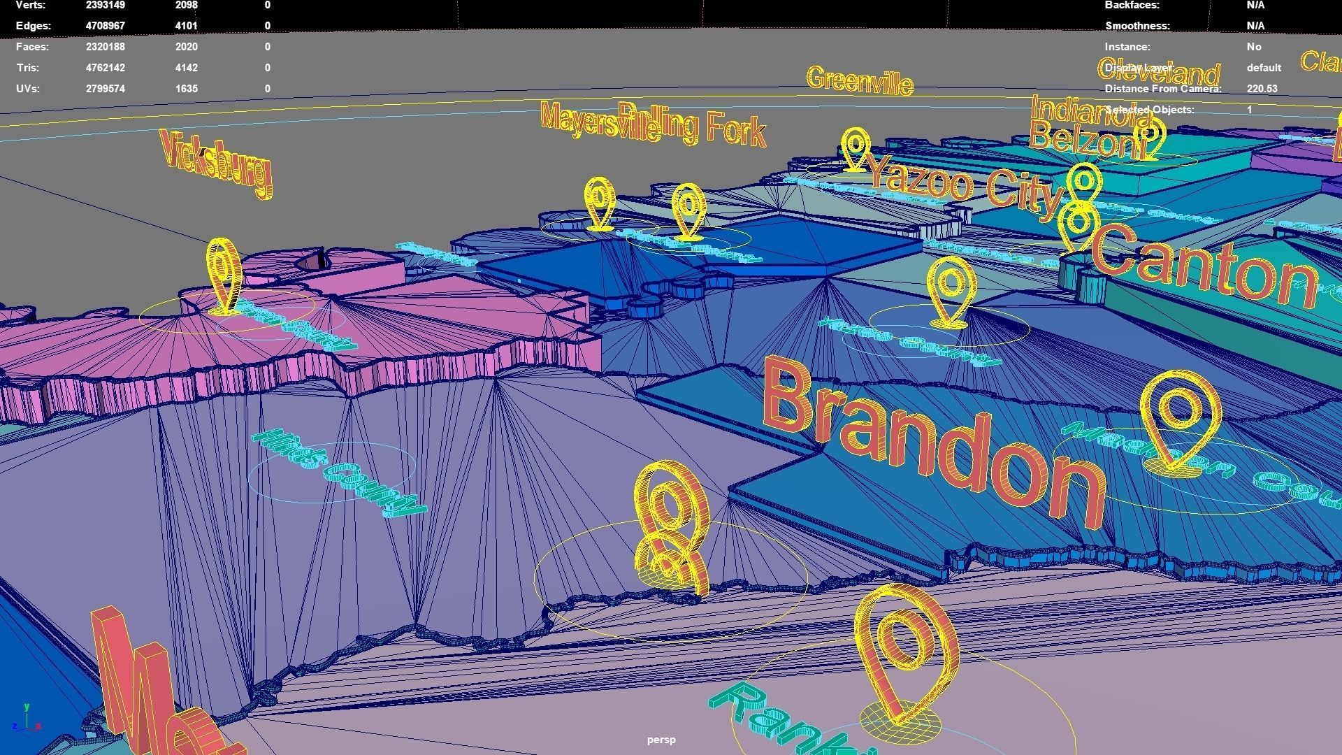
Directly below the map icon is the government location of the administrative district (not manually placed, but generated using a program based on latitude and longitude. The boundaries of the administrative district are also automatically generated by the program based on the administrative district).The administrative division and government location data were downloaded from OSM in 2023, but the data may not have been updated in 2023.The data in administrative regions is diverse and frequently changing, with potential omissions, errors, and inability to troubleshoot one by one. If your requirements are strict, you can check them yourself.
If the file uses a map, after opening the maya file, specify the map path yourself.
If there is a binding of place names, the binding details is as follows: The small curve circle below the 3D font can control the transformation of the 3D font and 3D map icon directly above (moving, rotating, scaling); 3D fonts and 3D map icons can be transformed independently. Except for the outermost large curve circle, all inner large curve circles control the overall transformation of different categories of 3D fonts and 3D map icons. The outermost curve circle controls the overall transformation of all objects.
This file retains historical records and does not collapse. The 3D font is easily adjusted.
If the extruded sweep polygonal faces are interspersed, you can press the 3 key in Maya to start smoothing, which can improve this situation. Alternatively, modify the parameters of the corresponding sweepMeshCreator node, such as changing the Interpolation Mode to Precision.
For UV snapshot, please refer to Preview images on this page.
Rendering:
Maya default renderer: arnold 5.2.1.1.
The model material is blinn.
The arnold renderer is selected for installation by default when installing maya2023.
Mississippi, United States.
Mississippi division:Covington County,Adams County,Issaquena County,Panola County,Forrest County,Washington County,Amite County,Webster County,Wayne County,Jefferson Davis County,Humphreys County,Scott County,Sharkey County,Newton County,Alcorn County,Grenada County,DeSoto County,Simpson County,Montgomery County,Jackson County,Kemper County,Carroll County,Lamar County,Monroe County,Attala County,Smith County,Stone County,Tate County,Lawrence County,Madison County,Tishomingo County,Jasper County,Perry County,Rankin County,Clay County,Calhoun County,Mississippi,Quitman County,Yalobusha County,Yazoo County,Benton County,Hancock County,Copiah County,Walthall County,Prentiss County,Hinds County,Lowndes County,Marshall County,Pearl River County,Pontotoc County,Choctaw County,Greene County,Tallahatchie County,Chickasaw County,Coahoma County,Itawamba County,Pike County,Neshoba County,Wilkinson County,Lincoln County,Clarke County,Oktibbeha County,Marion County,Claiborne County,Lee County,Noxubee County,Leflore County,Winston County,Harrison County,Franklin County,Tunica County,Union County,Warren County,Leake County,George County,Tippah County,Holmes County,Bolivar County,Lafayette County,Lauderdale County,Jones County,Sunflower County,Jefferson County.
Mississippi, United States .map,region,3D model,geography,political,geographic,administrative division,city Landscape.
Similar Models

Users who bought this item also bought...
