

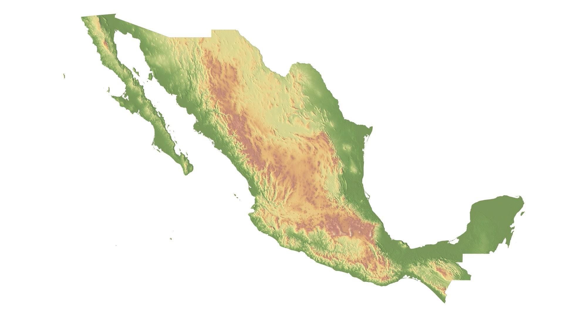
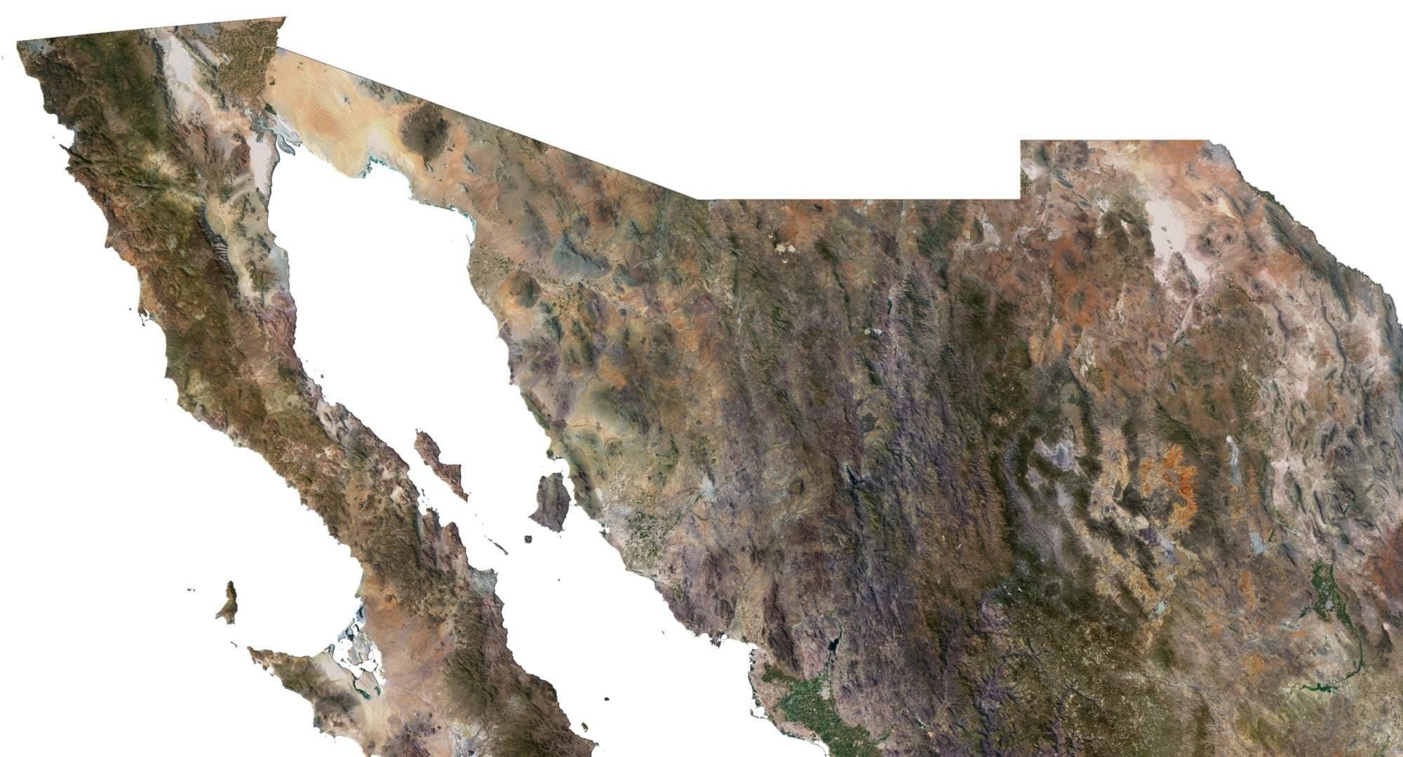
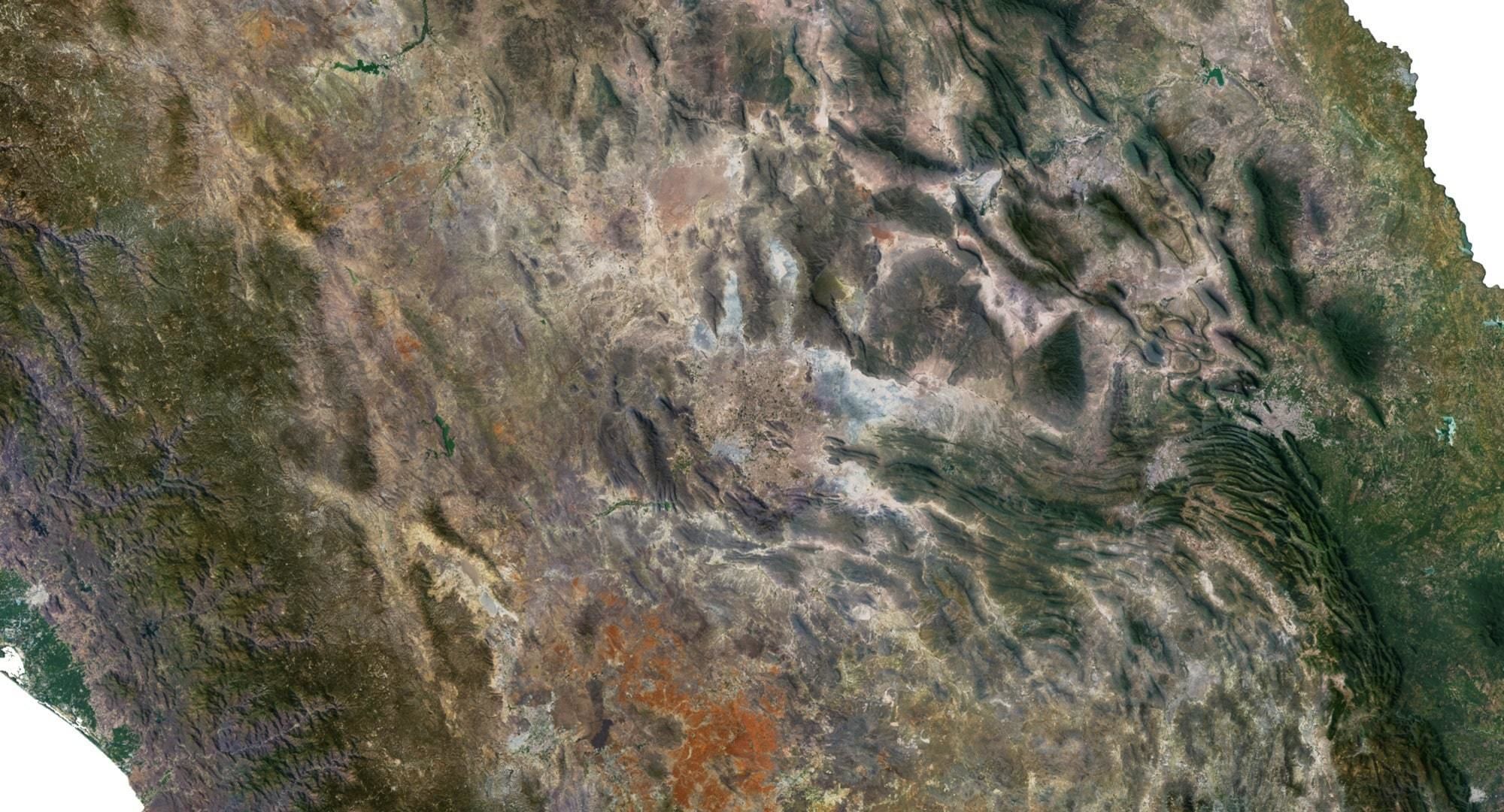
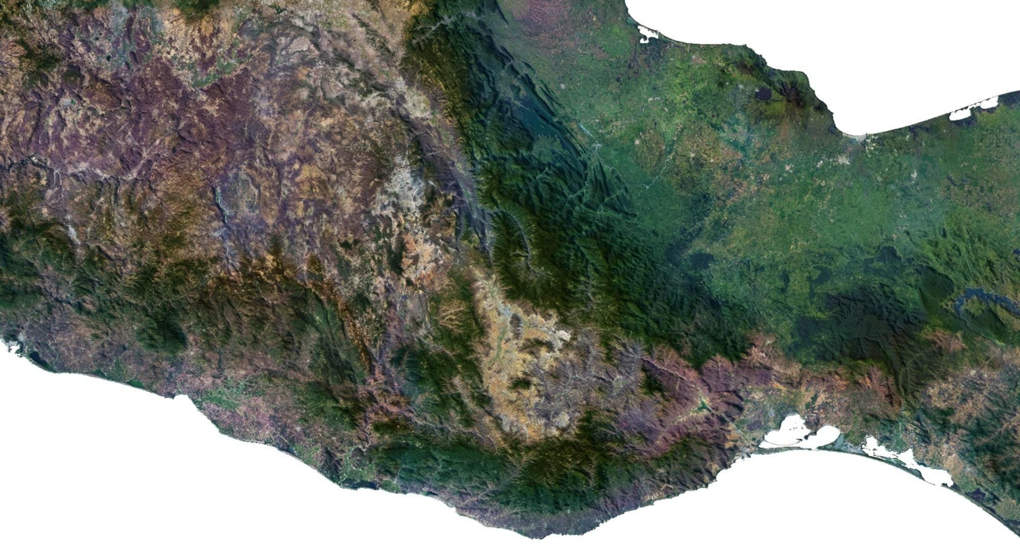

shustrik-maps
Read the description carefully!
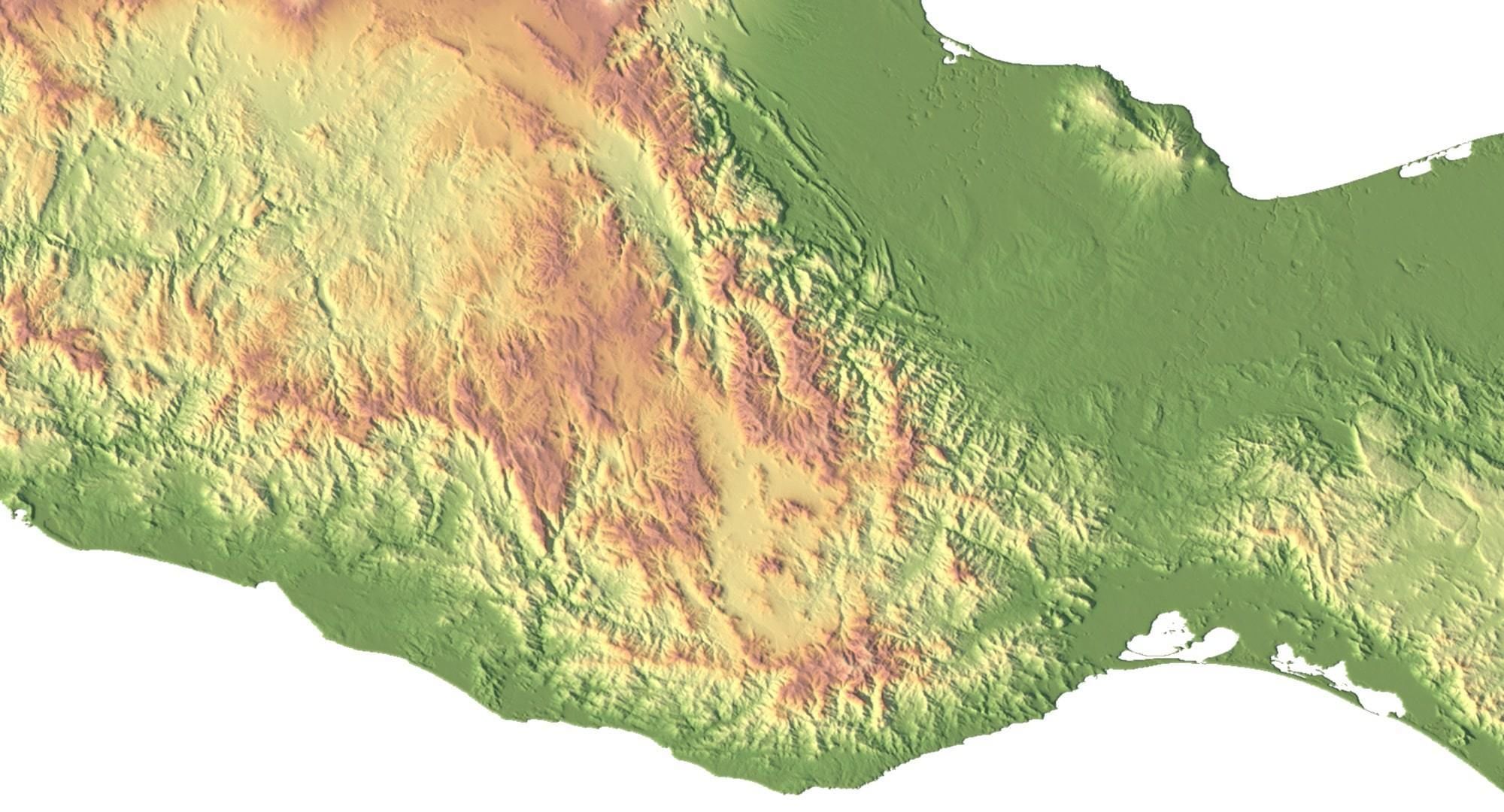
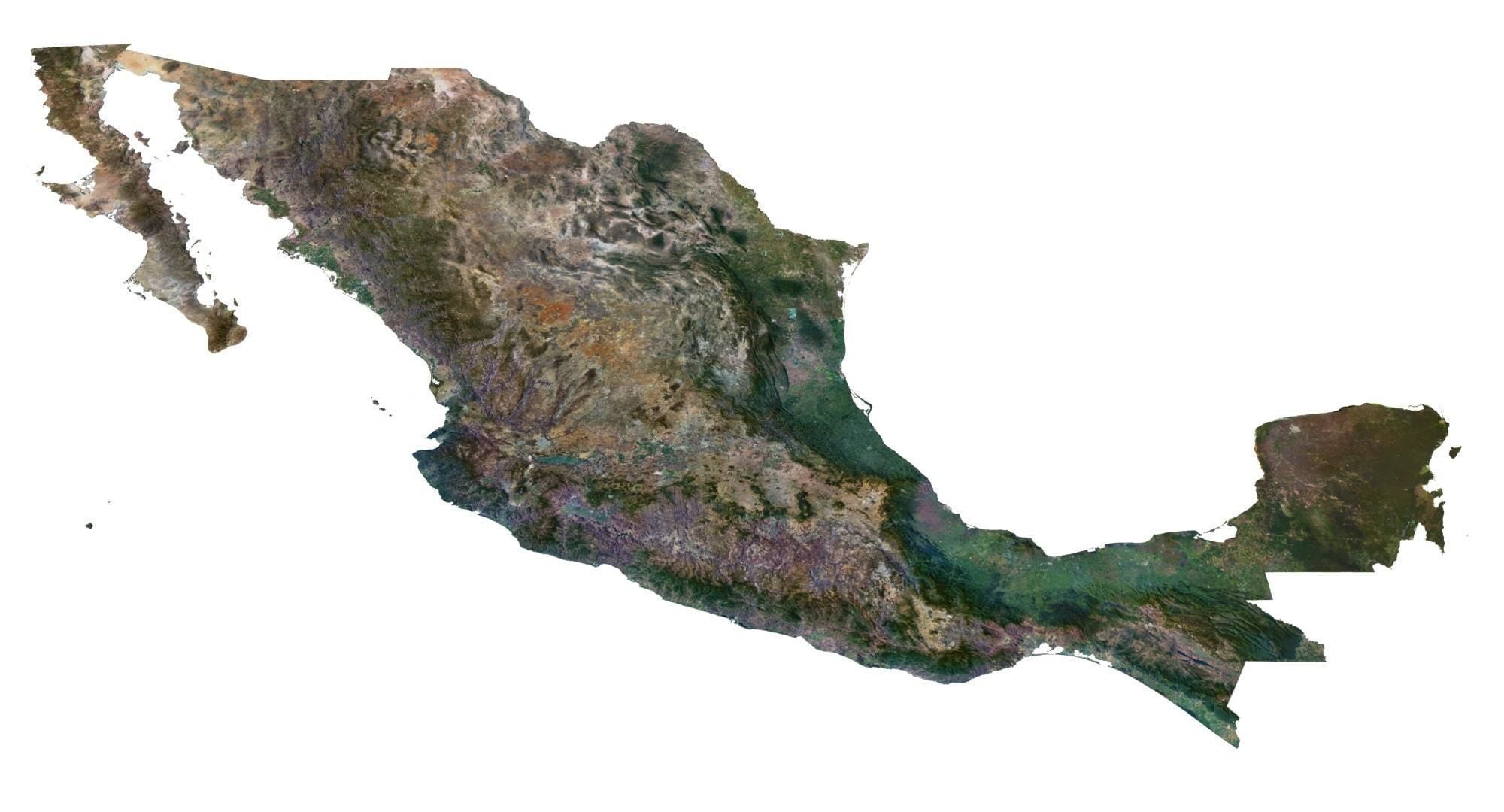
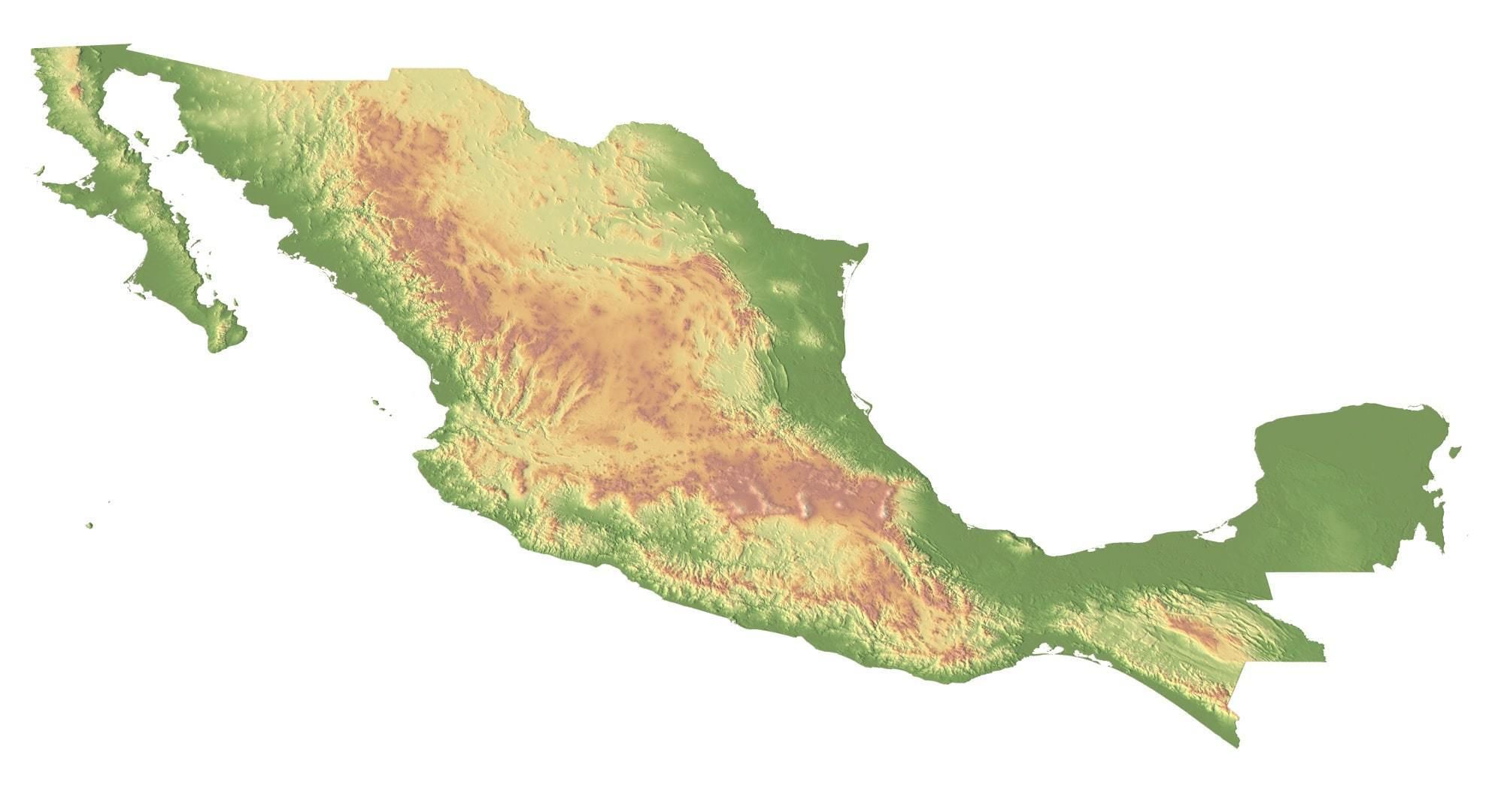
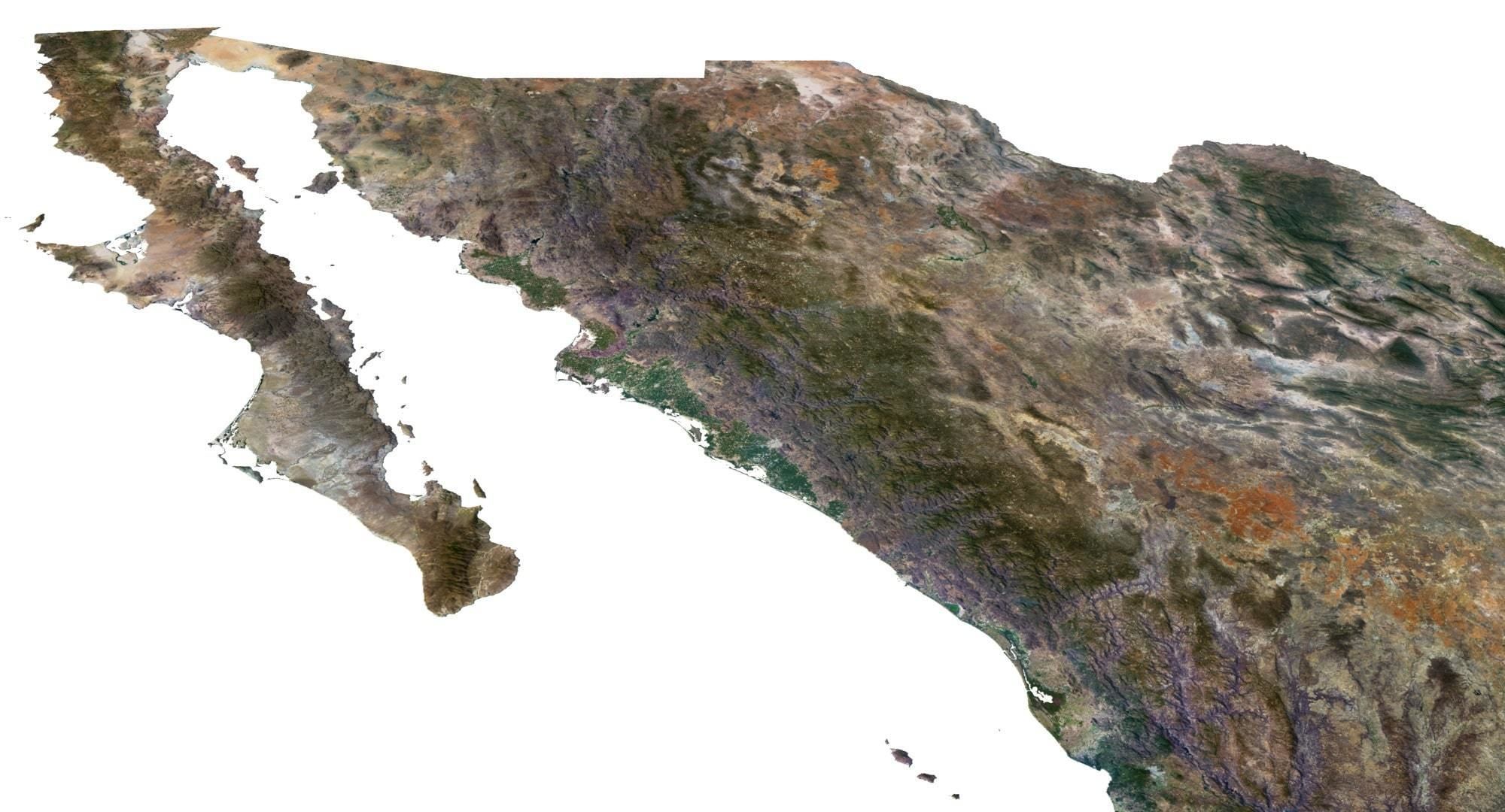
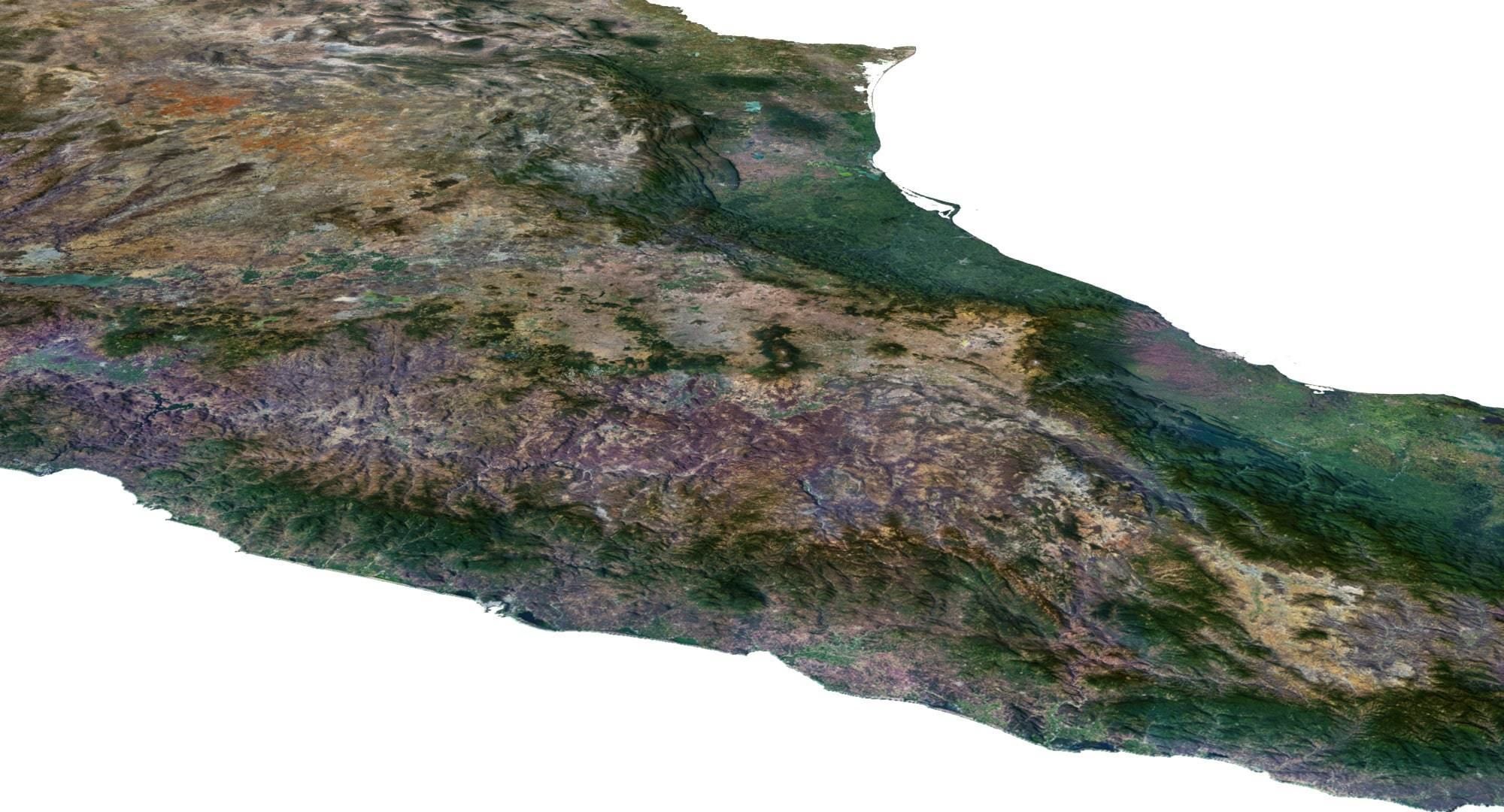
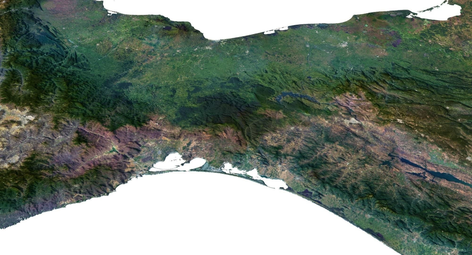
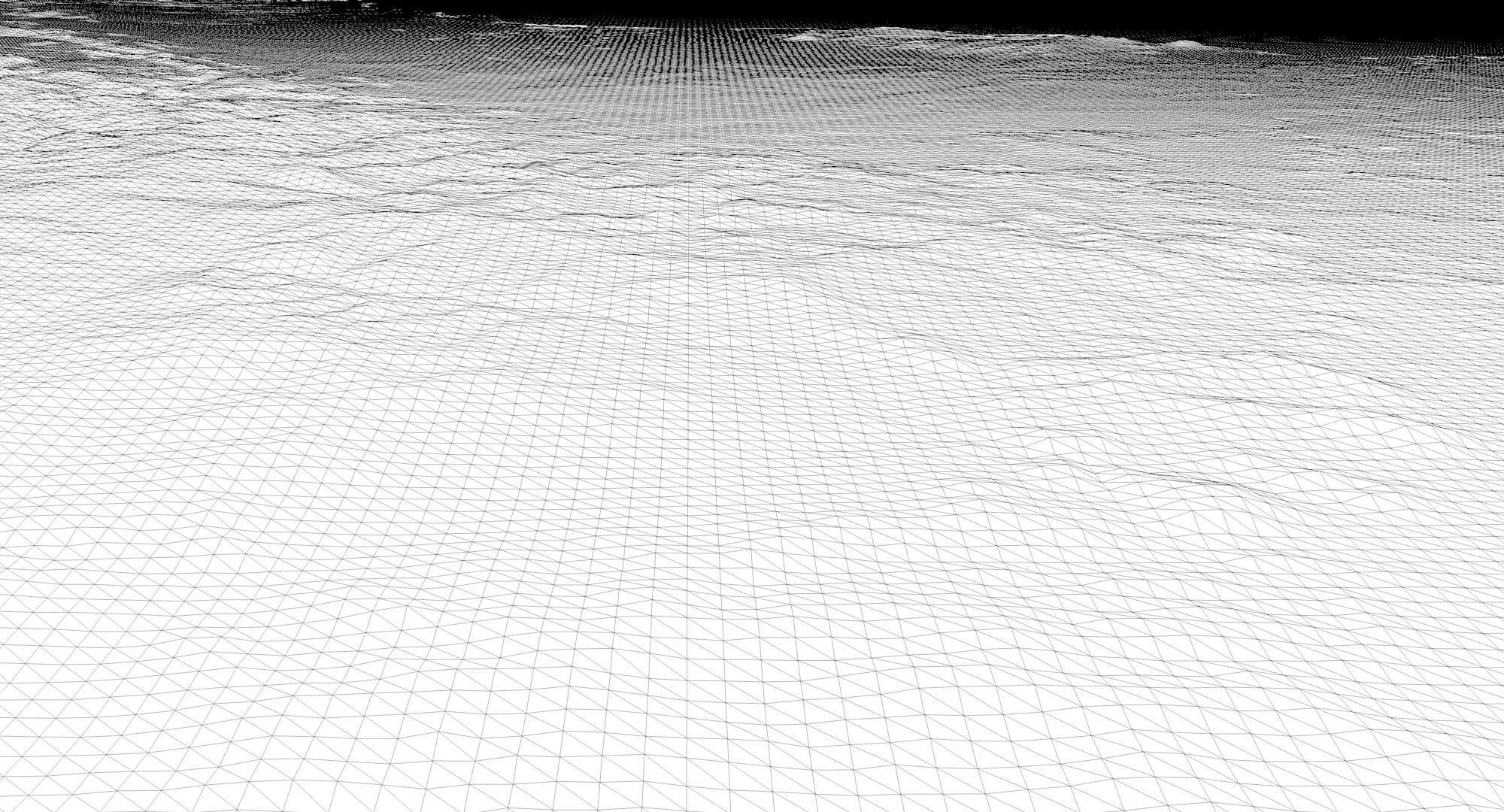
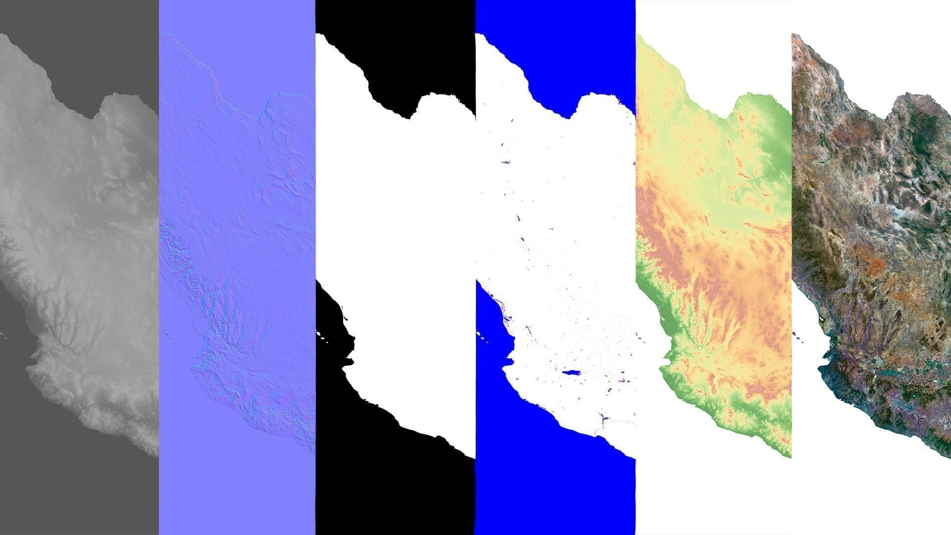
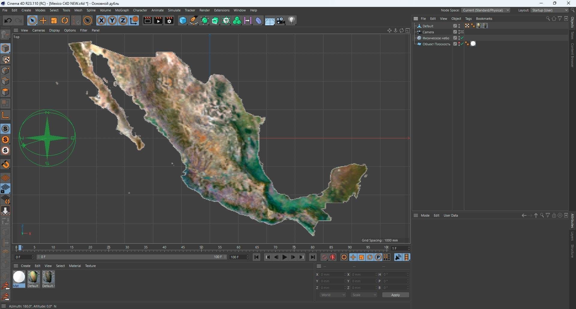
The rendering capabilities are limited by texture resolution.
The resolution of the satellite texture is 8900*5600 px. So you can get good renders of close-ups and medium shots.
If you need close-up renders, send the requirements and I can offer you super high resolution.


