Useto navigate. Pressescto quit
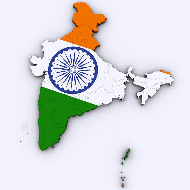
Map of India 3D model
Description
High poly 3d model of the map of India. Includes all the states and territories of India in a very detailed complete map.
3ds max version and all exported geometries include standard procedural materials; no additional plugins are required for this product.
3ds Max Version Only All states/territories are editable splines with the bevel modifier applied allowing for adjustments in height. All exported versions will be editable poly/mesh. All models are properly labeled with correct names.


