1/12
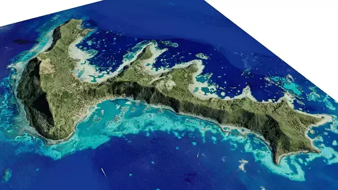
Mangareva Island 3d model terrain. 3d model of Mangareva Island with its landscape of mountains, beaches and forests.
3d model landscape of Mangareva Island, Gambier islands, Pacific Ocean, French Polynesia.
High Poly meshHigh detailed model
with 8K textures
- Diffuse map
- AO map
- Displacement map
- Normal map
- Roughness map
The Blend file do not require the displacement, but you can still use it if you want to create other terrain model yourself
texture example from the Mangareva Island, Gambier islands, Pacific Ocean, French Polynesia. Mangareva is the central and largest island of the Gambier Islands in French Polynesia. It is surrounded by smaller islands: Taravai in the southwest, Aukena and Akamaru in the southeast, and islands in the north. Mangareva has a permanent population of 1,239 and the largest village on the island, Rikitea, is the chief town of the Gambier Islands.
REVIEWS & COMMENTS
accuracy, and usability.


