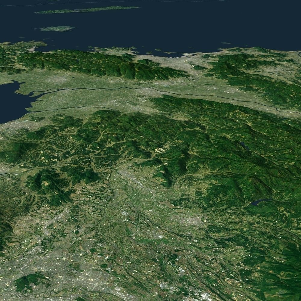
Korean Peninsula satellite map

Korean Peninsula satellite map 3D model

Description

Use 3dmax2014 production, vray rendering, provide a variety of formats to download the file.Thank you for coming!

jd94
jd942021-02-19 02:26:40 UTC
awesome
T
tlfkzkdhk2019-06-07 11:12:59 UTC
If you print on a 3d printer, how many centimeters are you optimized for?
Item rating
0 0
Korean Peninsula satellite map
$99.00
 
Royalty Free License 
Korean Peninsula satellite map
$99.00
 
Royalty Free License 
Response 28% in 48.0h

3D Model formats

Format limitations
  • OBJ (.obj, .mtl) (2 files)244 MB
  • Autodesk 3ds Max 2014 (.max)66.1 MBVersion: 2014Renderer: Default (Scanline)
  • Autodesk FBX (.fbx)215 MB
  • Textures 1.35 GB

3D Model details

  • Publish date2017-09-19
  • Model ID#778411
  • Animated
  • Rigged
  • VR / AR / Low-poly
  • PBR
  • Geometry Polygon mesh
  • Polygons 9,443,826
  • Vertices 4,836,681
  • Textures
  • Materials
  • UV Mapping
  • Unwrapped UVs
  • Plugins used
  • Ready for 3D Printing
Help
Chat