


Georgia United States USA map region 3D model geography 3D model
The compressed package contains exported fbx.
For the rendering effect of this area, They all have very similar effects, please refer to: https://www.cgtrader.com/gallery/project/model-series-for-sales-map-region-3d-model-geography-political-3d-model-image-rendering-example
If there is a country boundary line in the administrative district, If there is a disputed area, which is the line of actual control, please use it in the country where the administrative district is located and pay attention to inspection.
The map projection is Mercator.
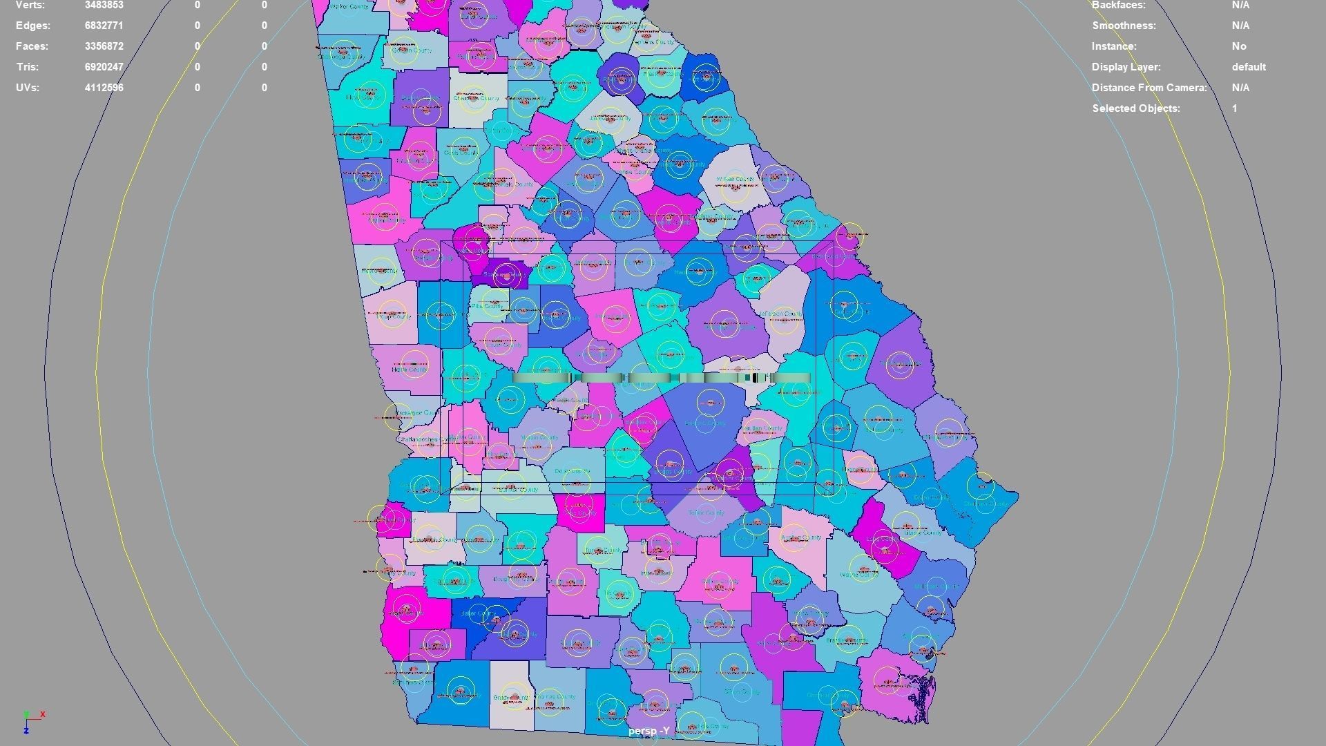
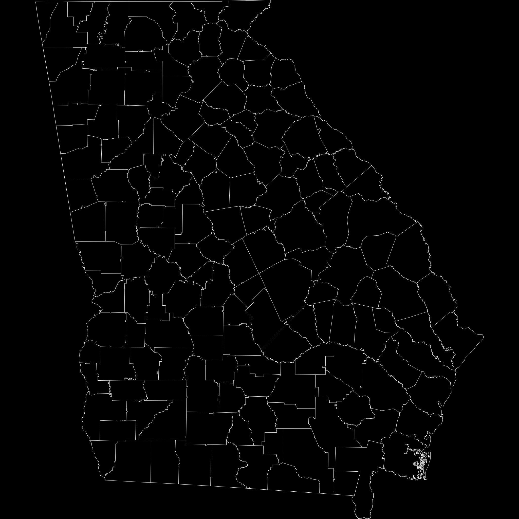
Georgia regions : The model is divided according to the administrative region of Georgia. Each region is clearly separated so you can easily isolate it or change the colors. Names are also editable and separate.
Model made with maya2023.
Materials applied as seen on renders.
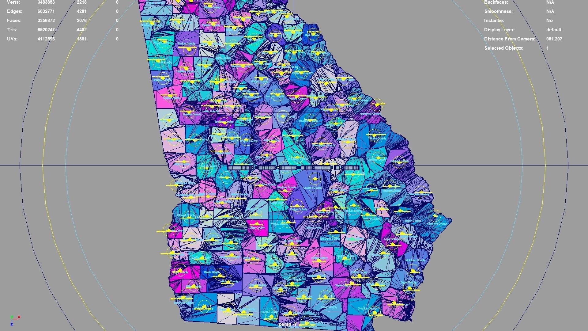
Scene is organized with all mesh named and Uv Unwrapped.
Planar UV mapped from above.
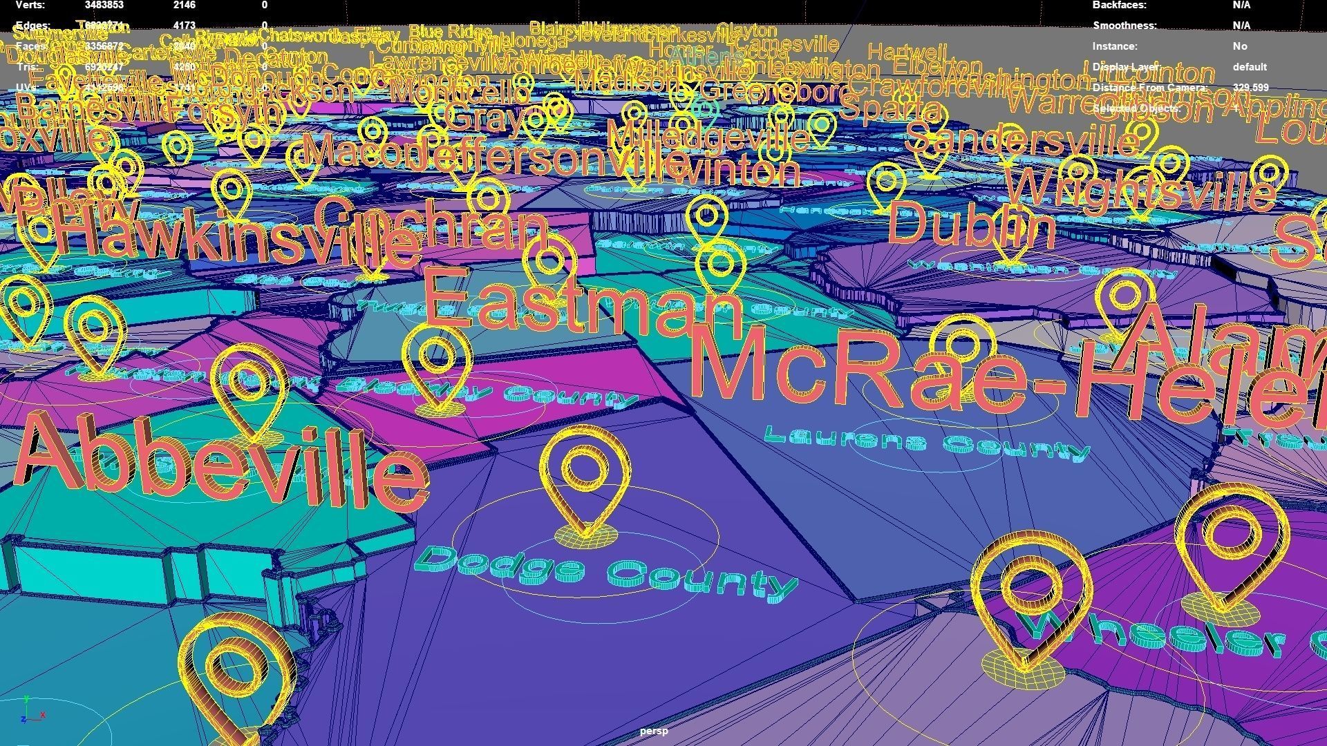
Directly below the map icon is the government location of the administrative district (not manually placed, but generated using a program based on latitude and longitude. The boundaries of the administrative district are also automatically generated by the program based on the administrative district).The administrative division and government location data were downloaded from OSM in 2023, but the data may not have been updated in 2023.The data in administrative regions is diverse and frequently changing, with potential omissions, errors, and inability to troubleshoot one by one. If your requirements are strict, you can check them yourself.
If the file uses a map, after opening the maya file, specify the map path yourself.
If there is a binding of place names, the binding details is as follows: The small curve circle below the 3D font can control the transformation of the 3D font and 3D map icon directly above (moving, rotating, scaling); 3D fonts and 3D map icons can be transformed independently. Except for the outermost large curve circle, all inner large curve circles control the overall transformation of different categories of 3D fonts and 3D map icons. The outermost curve circle controls the overall transformation of all objects.
This file retains historical records and does not collapse. The 3D font is easily adjusted.
If the extruded sweep polygonal faces are interspersed, you can press the 3 key in Maya to start smoothing, which can improve this situation. Alternatively, modify the parameters of the corresponding sweepMeshCreator node, such as changing the Interpolation Mode to Precision.
For UV snapshot, please refer to Preview images on this page.
Rendering:
Maya default renderer: arnold 5.2.1.1.
The model material is blinn.
The arnold renderer is selected for installation by default when installing maya2023.
Georgia, United States.
Georgia division:Barrow County,Haralson County,Oglethorpe County,Pike County,Marion County,McIntosh County,Calhoun County,Atkinson County,Irwin County,Lee County,Tattnall County,Sumter County,Whitfield County,Dodge County,Meriwether County,Forsyth County,Gilmer County,Newton County,DeKalb County,Banks County,Cook County,Pickens County,Montgomery County,Dougherty County,Randolph County,Chattooga County,Talbot County,Richmond County,Troup County,Chatham County,Fayette County,Peach County,Hancock County,Rockdale County,Washington County,Douglas County,Fannin County,Wilcox County,Henry County,Houston County,Crawford County,Quitman County,Telfair County,Polk County,Gwinnett County,Macon County,Toombs County,Floyd County,Coweta County,Jenkins County,Morgan County,Turner County,Greene County,Charlton County,Taliaferro County,Walton County,Brooks County Exclave,Bacon County,Catoosa County,Glascock County,Lanier County,Twiggs County,Heard County,Evans County,Liberty County,Fulton County,Athens-Clarke County,Cobb County,Gordon County,Harris County,Madison County,Rabun County,Lumpkin County,Seminole County,Oconee County,Putnam County,Wilkinson County,Lowndes County,Ware County,Bleckley County,Crisp County,Hart County,Stewart County,Decatur County,Bartow County,Jeff Davis County,Dawson County,Jones County,Paulding County,Webster County,Clinch County,Butts County,Hall County,Screven County,Carroll County,Wayne County,Bryan County,Brooks County,Emanuel County,Chattahoochee County,Colquitt County,Schley County,Long County,Habersham County,Thomas County,Early County,Pulaski County,Grady County,Cherokee County,Burke County,Dooly County,Spalding County,Appling County,Mitchell County,Lamar County,Monroe County,Worth County,Georgia,Tift County,McDuffie County,Johnson County,Miller County,Pierce County,Union County,Muscogee County,Warren County,Ben Hill County,Wilkes County,Treutlen County,Baker County,Bulloch County,Effingham County,Wheeler County,Echols County,Baldwin County,Candler County,Brantley County,Taylor County,Walker County,Towns County,Columbia County,Coffee County,Upson County,Terrell County,White County,Glynn County,Camden County,Clayton County,Stephens County,Berrien County,Elbert County,Dade County,Jefferson County,Clay County,Murray County,Bibb County,Laurens County,Lincoln County,Franklin County,Jackson County,Jasper County.
Georgia, United States .map,region,3D model,geography,political,geographic,administrative division,city Landscape.
Similar Models

