T
thierry-gosselin


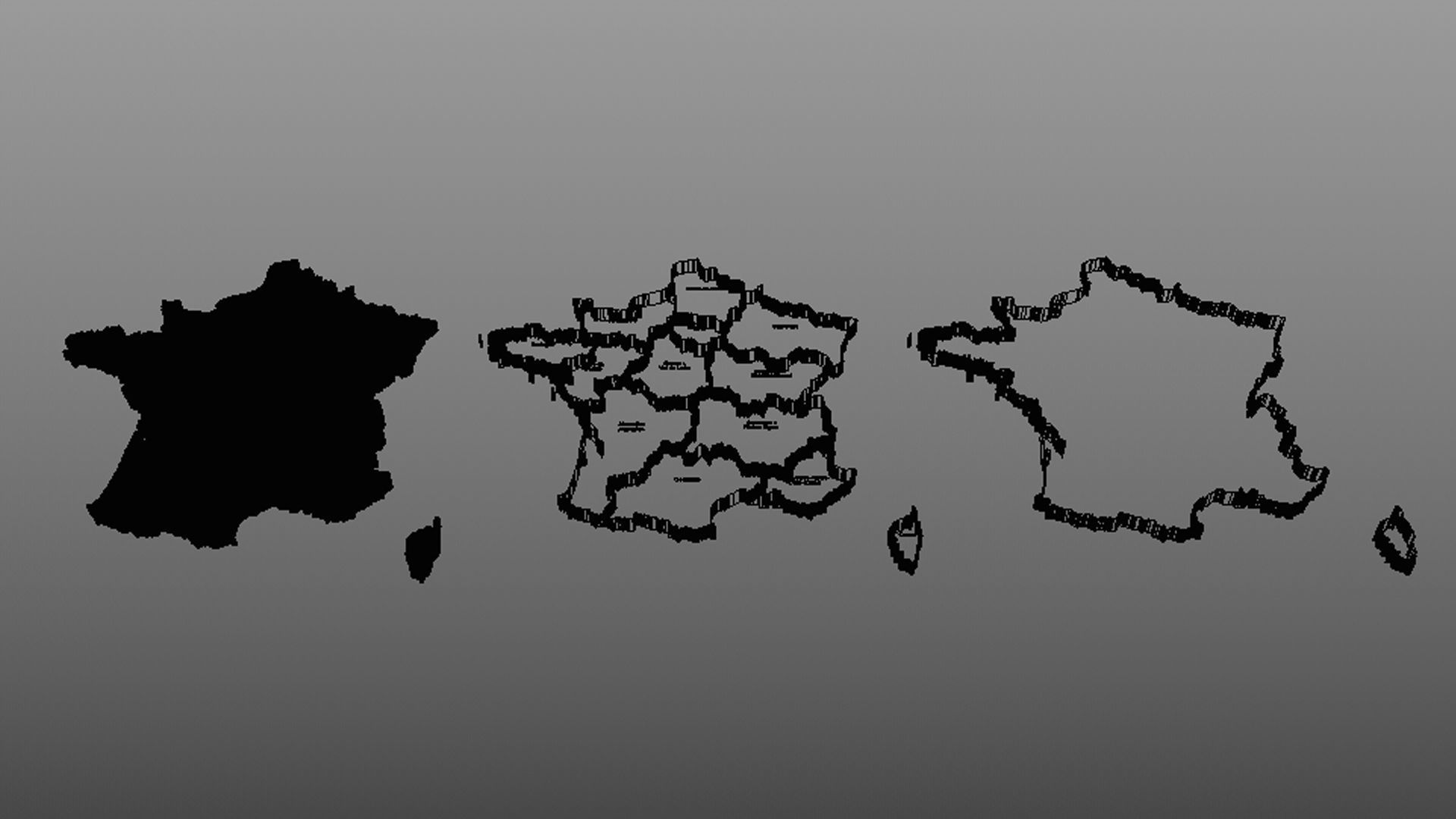
France Map PackThis pack contains three 3D models of the map of France. It is ideal for illustrating the country in the field of education, information, communication or advertising.
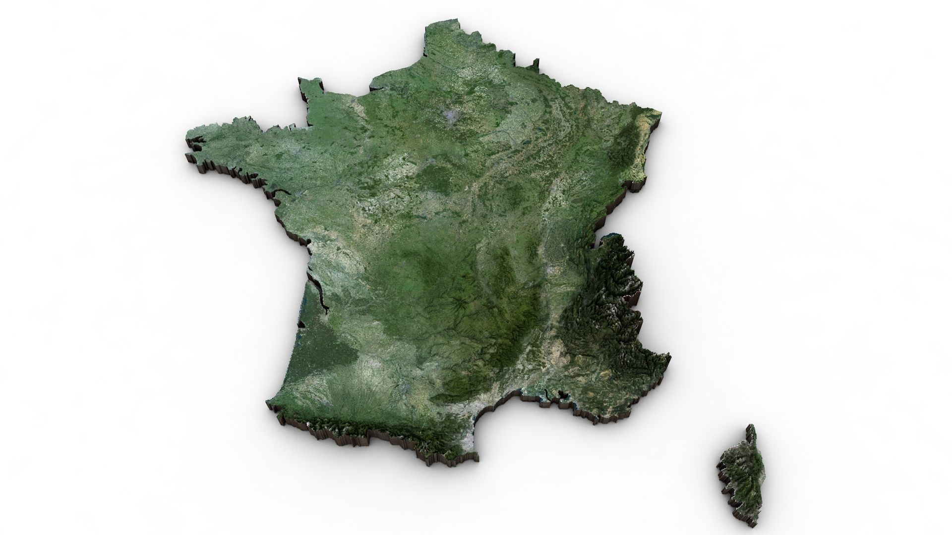
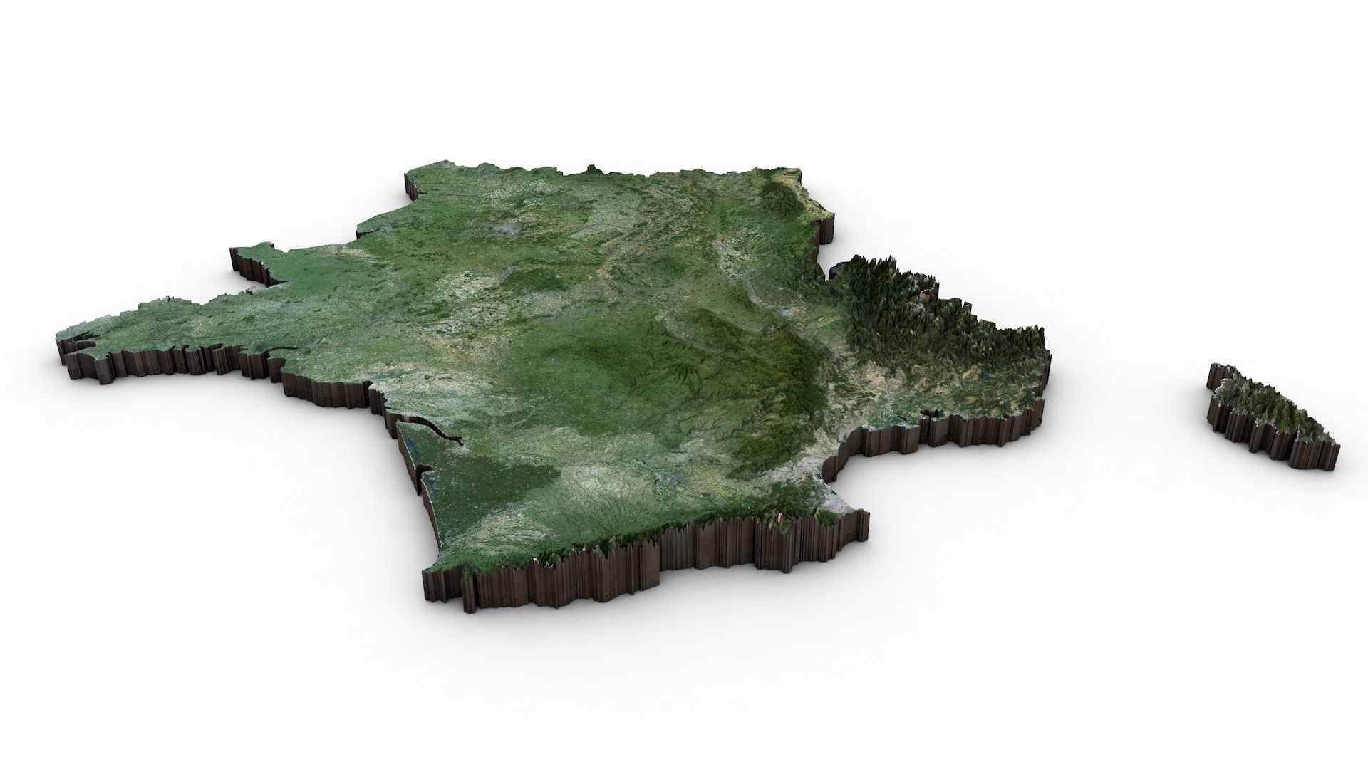
France Map relief :The relief map was created using NASA elevation data. The texture comes from satellite photo and has a definition of 5887x5607 px. The map provides an overall view of the relief of the country. It allows medium zooms. It is not suitable and will lack precision for precise zooms.
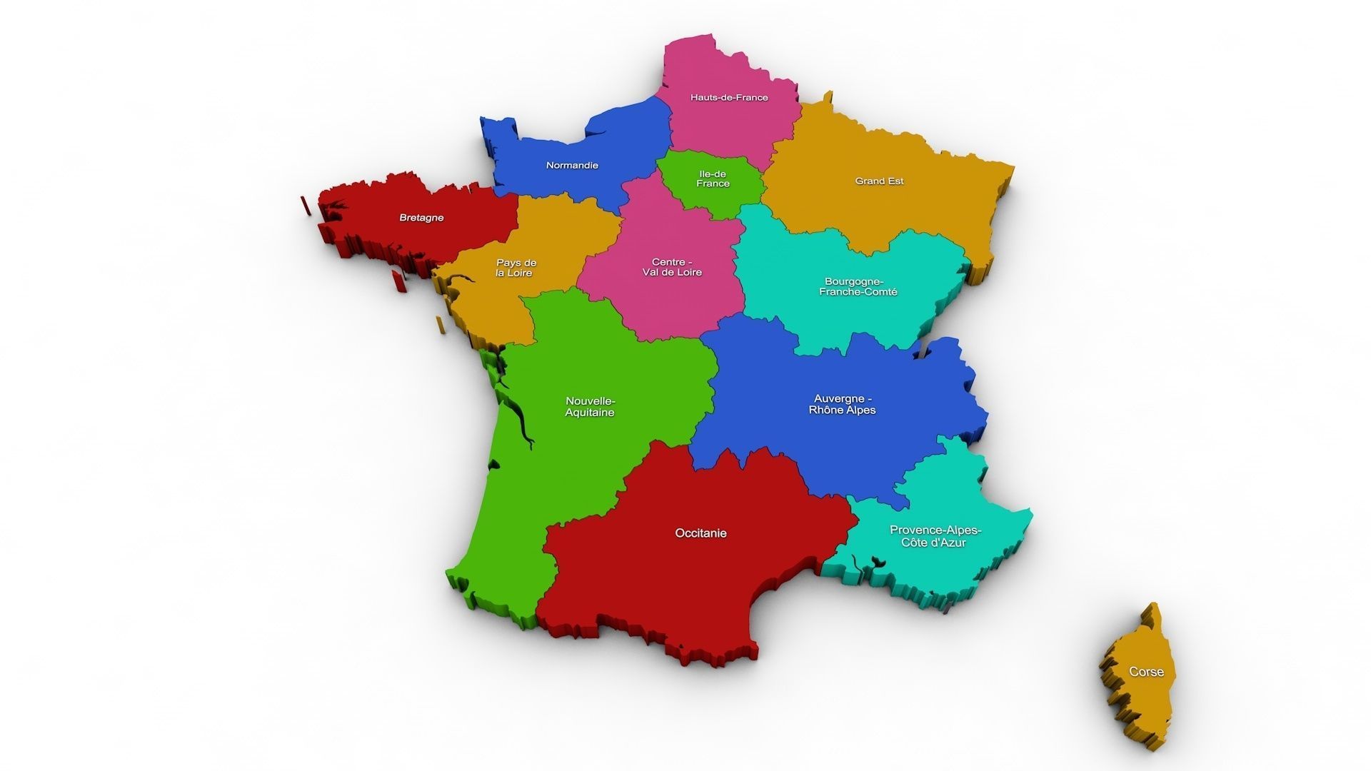
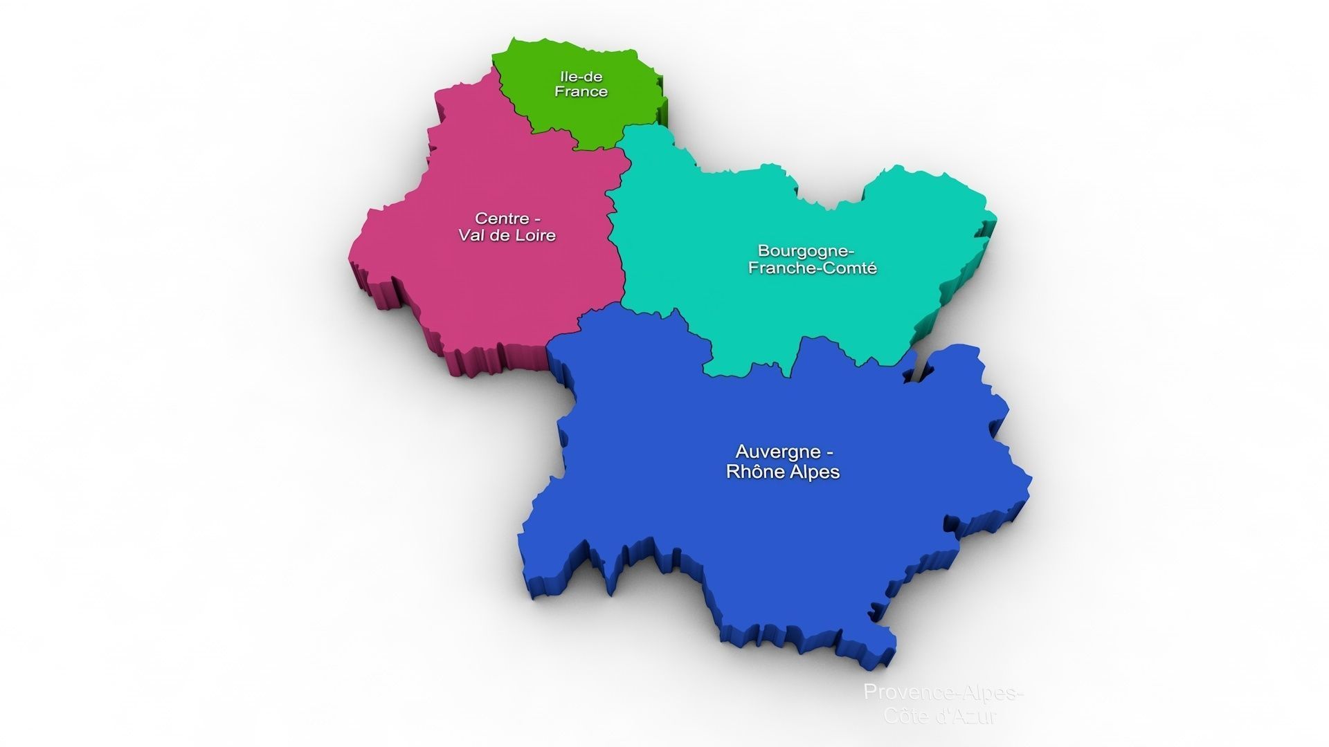
France Régions :The model is divided according to the administrative regions of France. Each region is clearly separated so you can easily isolate it or change the colors. Names are also editable and separate.
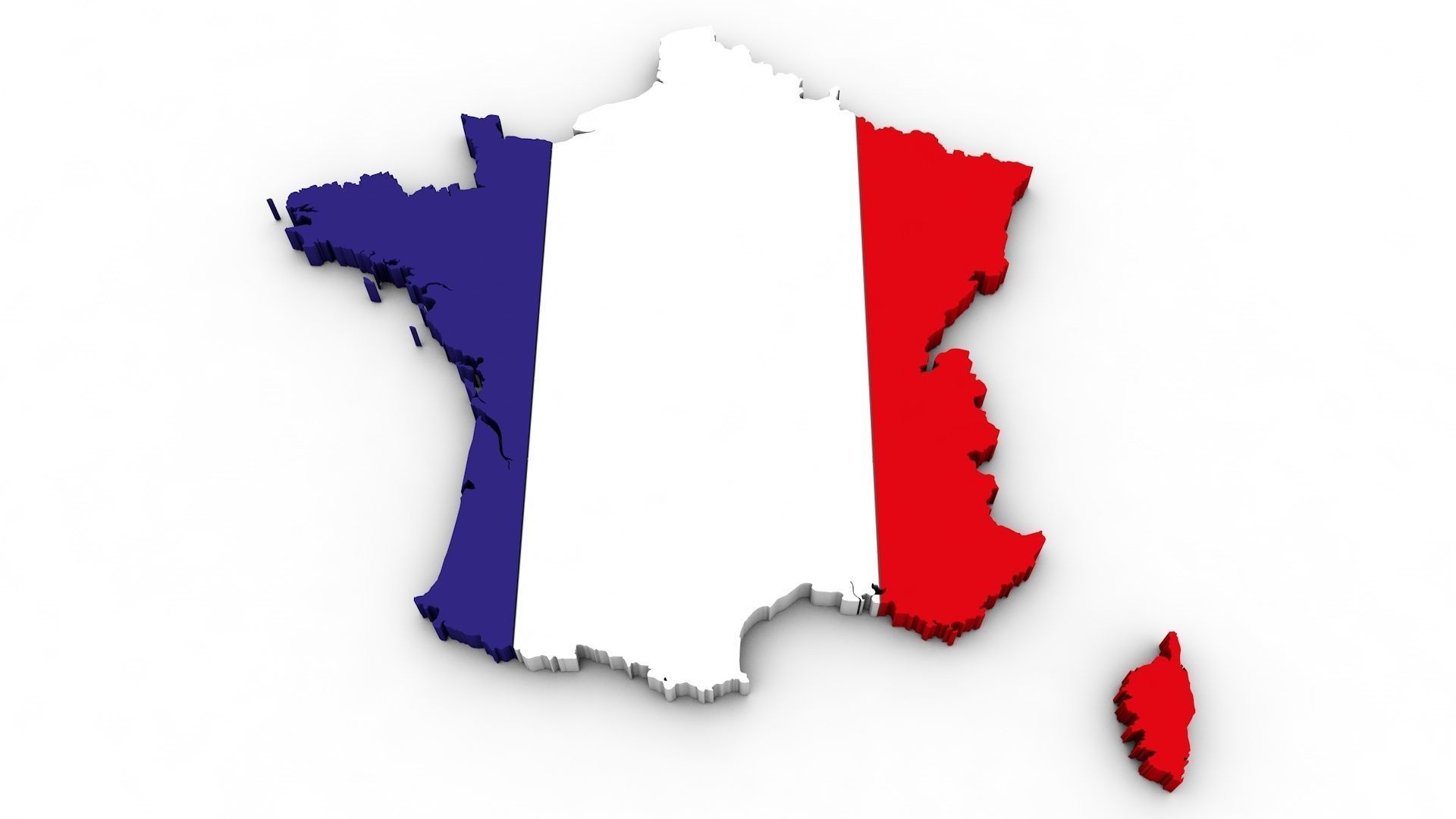
France Flag :Simple 3d map of France with flag texture. You can replace the texture with a solid color of your choice.
Format and matérials :Scale : 1:100000Original format is C4d R20Texture is included . Scene is included . Ready to render.Other formats :FBX : To transfer to another software. Texture is included . You have to rework lights after transfer.

