1/47
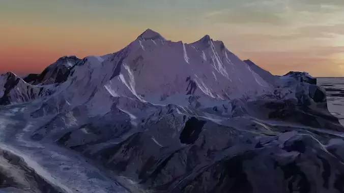
The mighty Everest and surroundings revisited. Upgraded triangulated mesh, georeferenced in UTM and generated at full scale with controlled precision to ensure proportions integrity. This means that the model could be used to perform geospatial analysis and simulation purposes (drainage network, plane and modeled distances measurements, slope gradients, path profiles and cross sections, height differences lines of sight, etc.). Developed in metric system with an approximated area of 21500ha/52900ac. Native format (.obj) plus (.mtl) and base texture unwrapped file (.jpg). I set up some rendering settings to showcase the model and this file it's included on model package (.blend and .fbx). The (.obj) file will show up at its original UTM coordinates. The rendered model was reduced to 0.1 of its original size and brought close to origin. Please contact me for other formats or if you need a particular model like this for another specific location.
REVIEWS & COMMENTS
accuracy, and usability.


