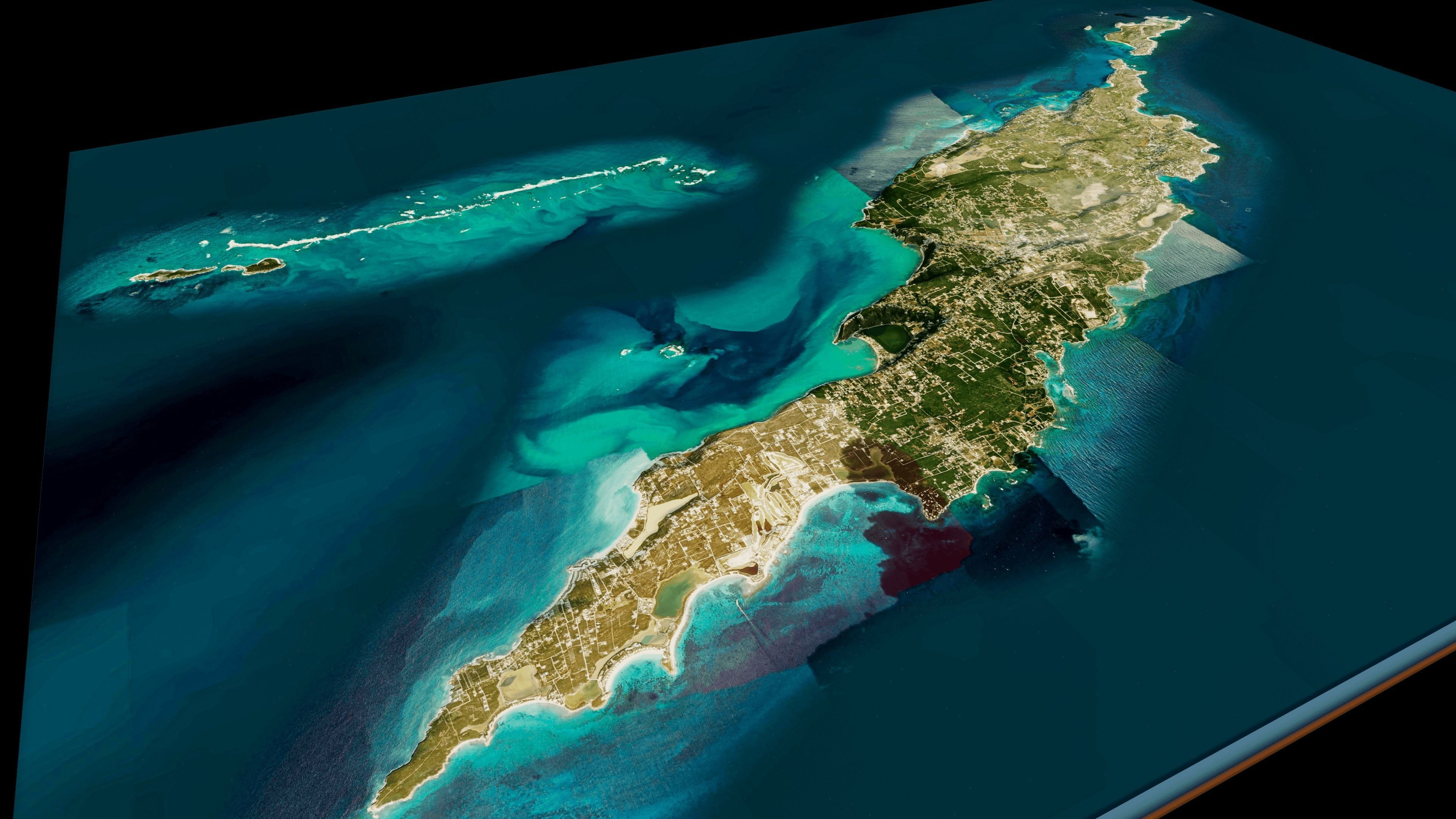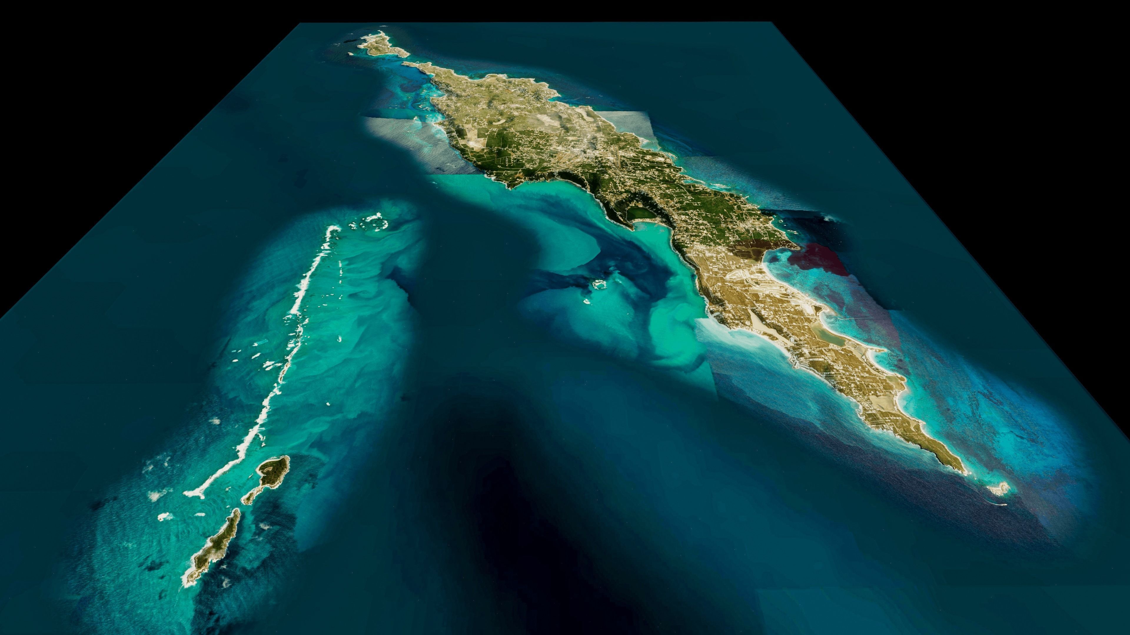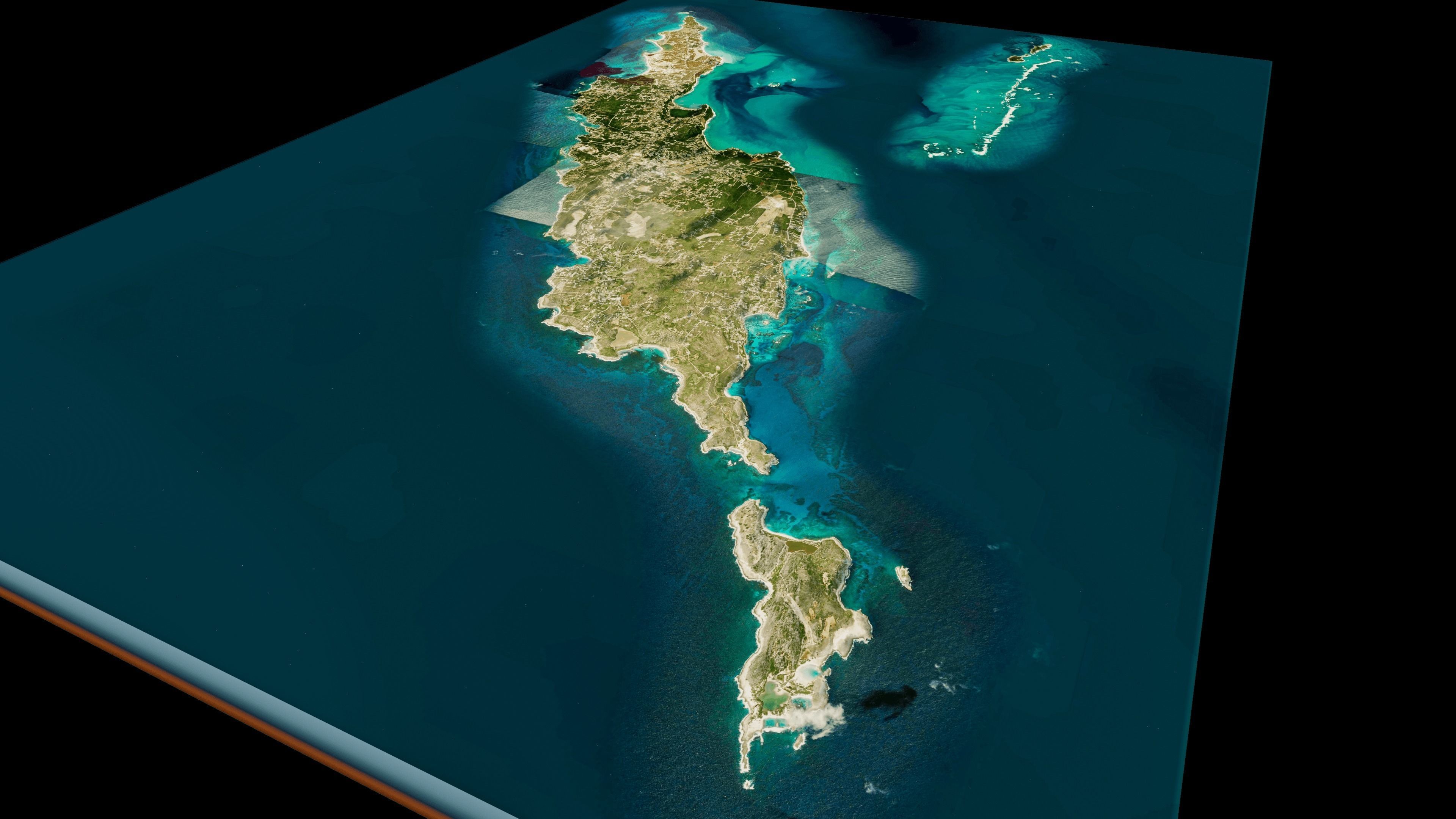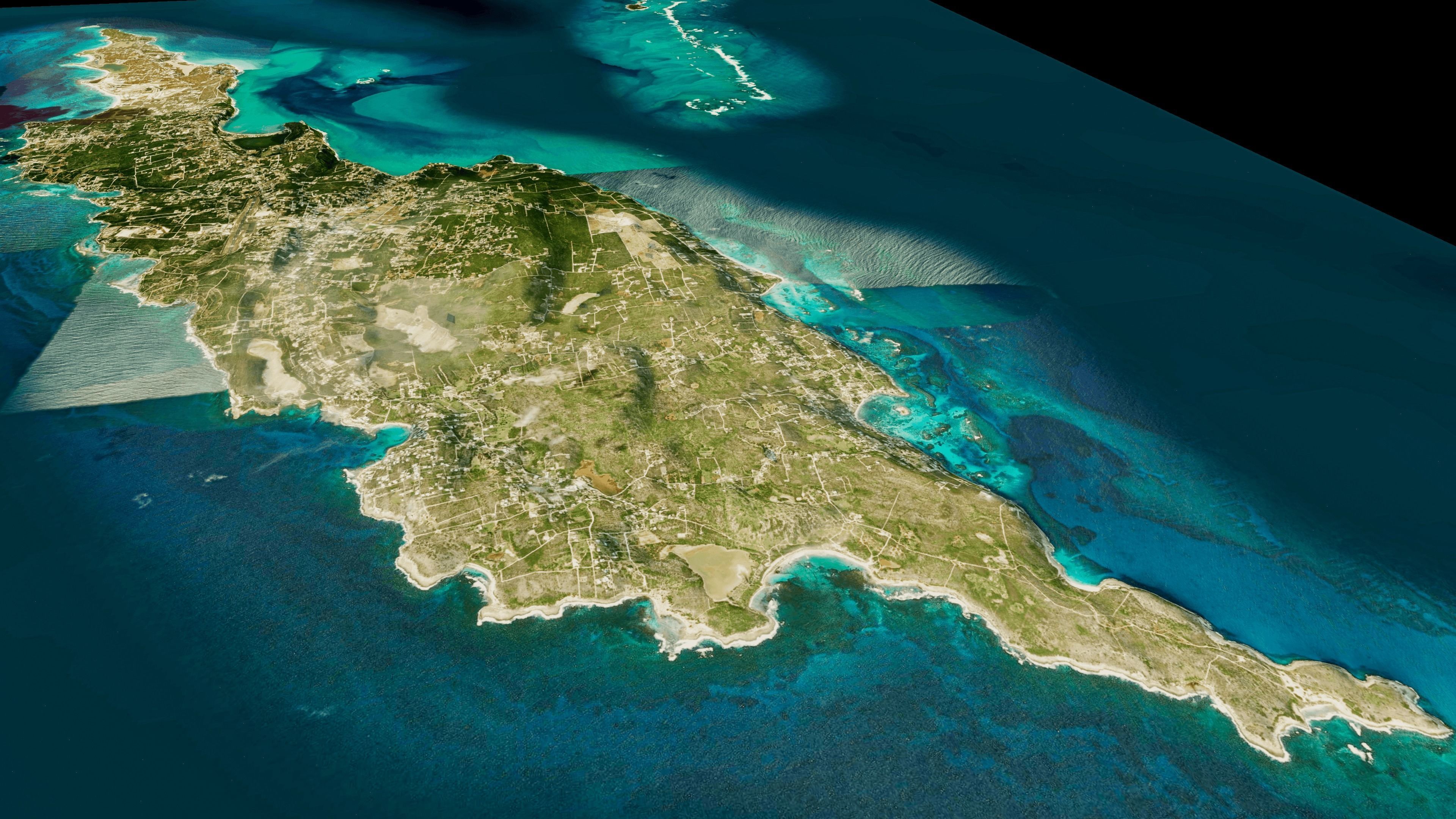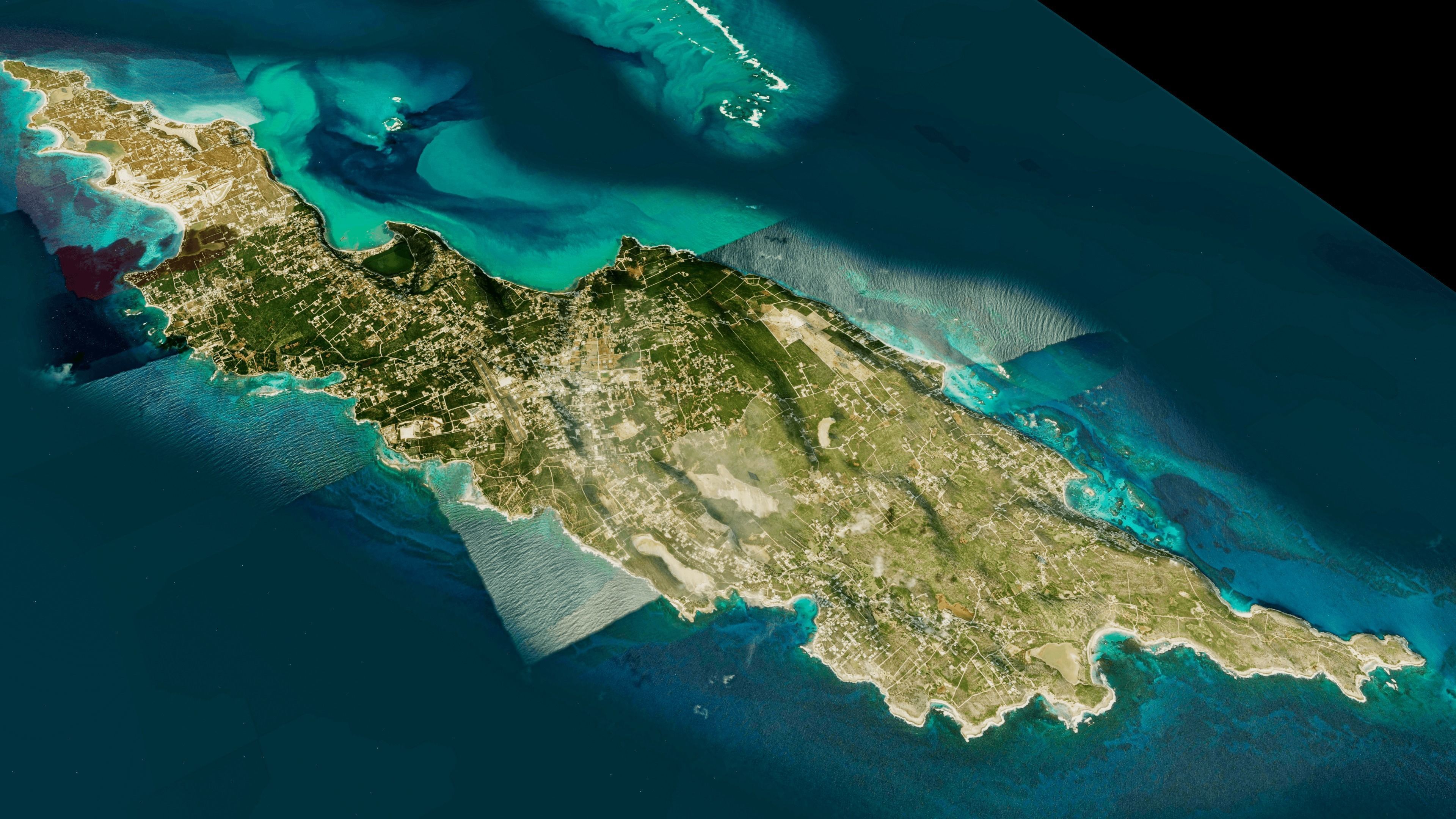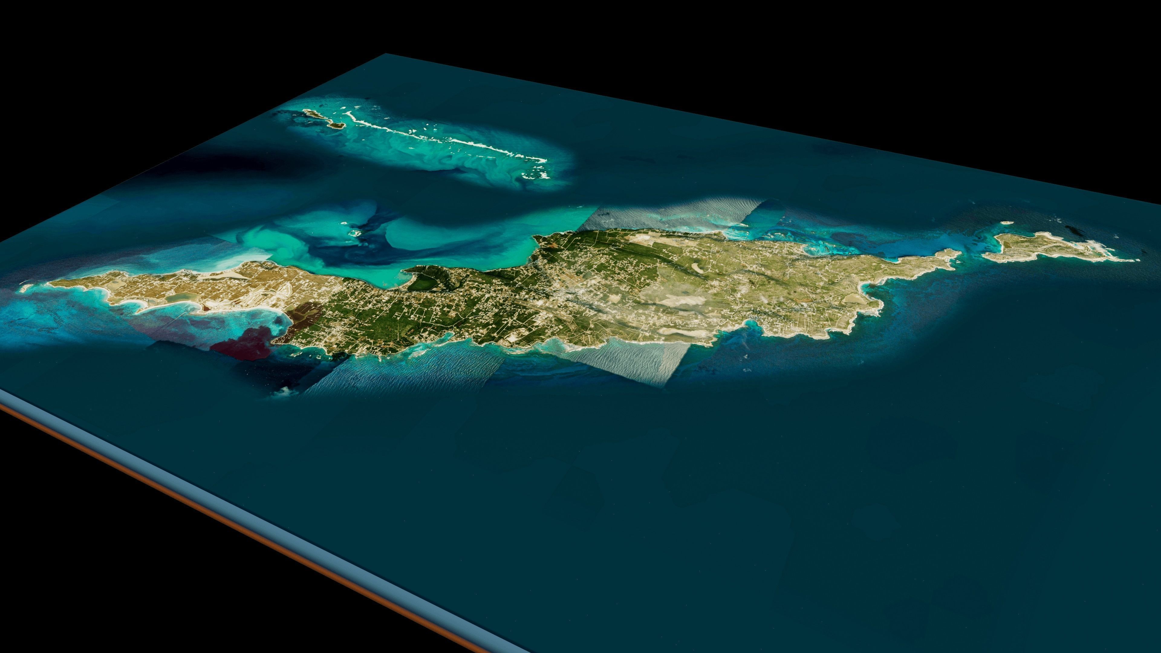
Anguilla Island full 3d model terrain Low-poly 3D model
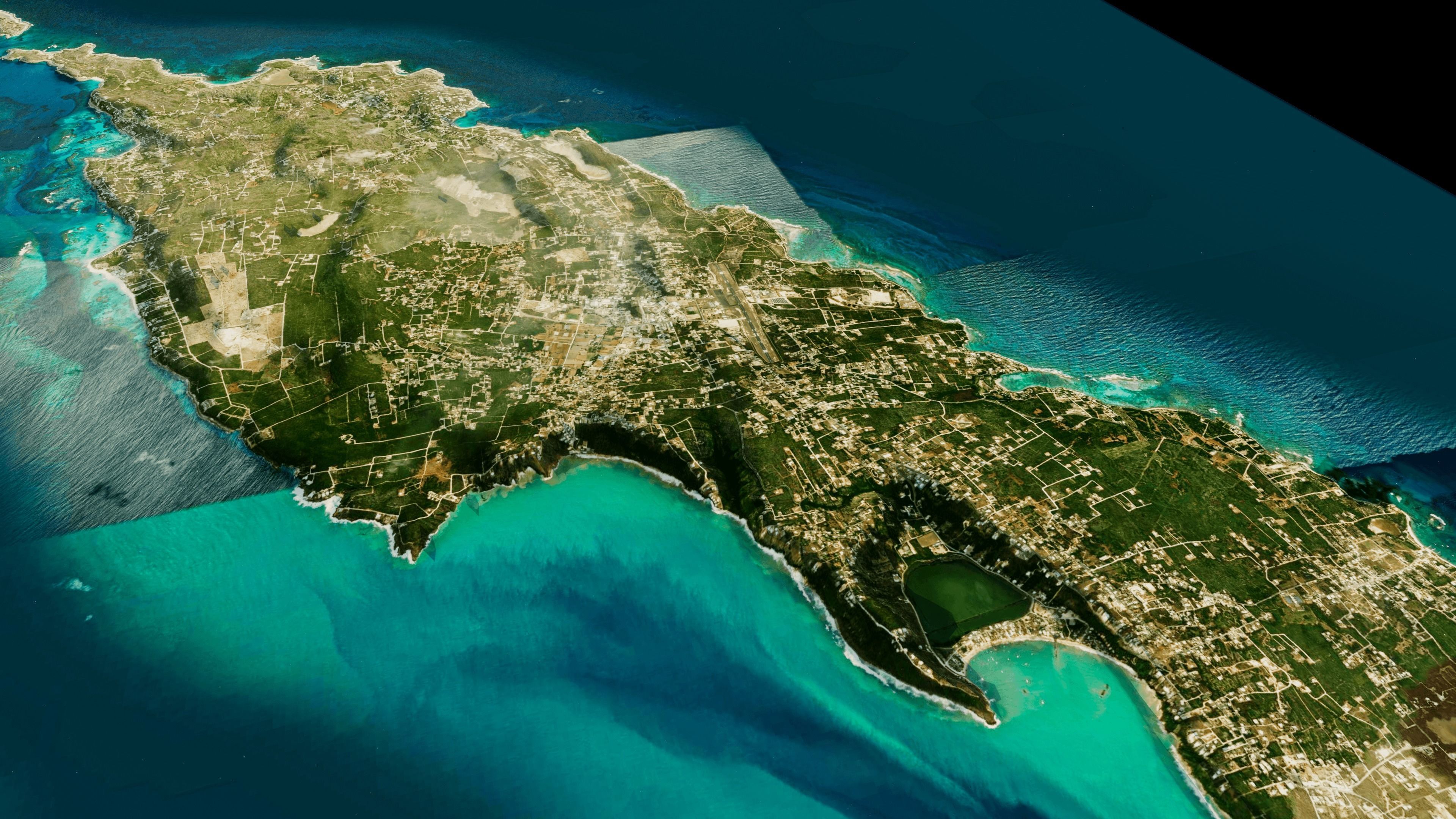
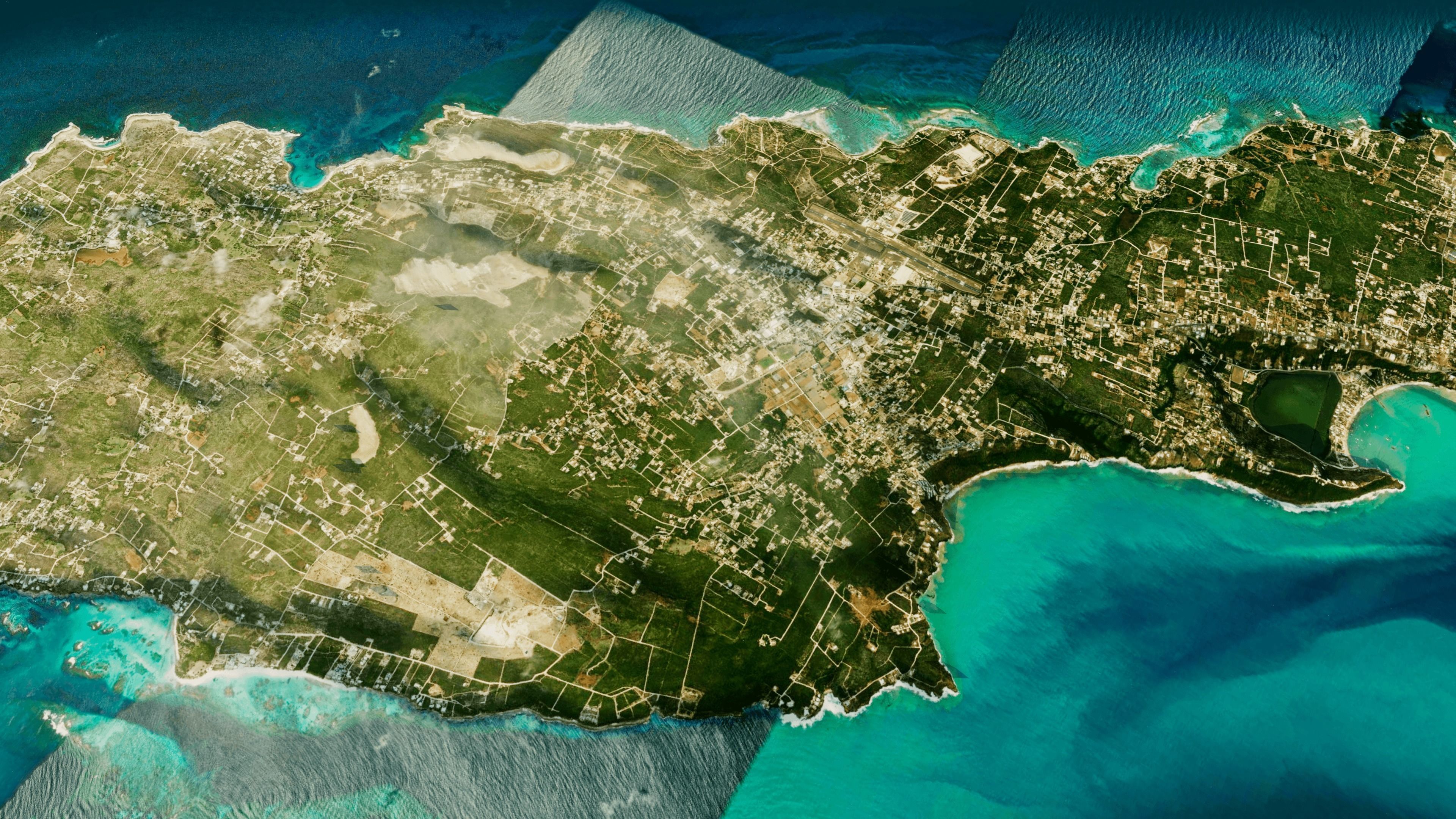
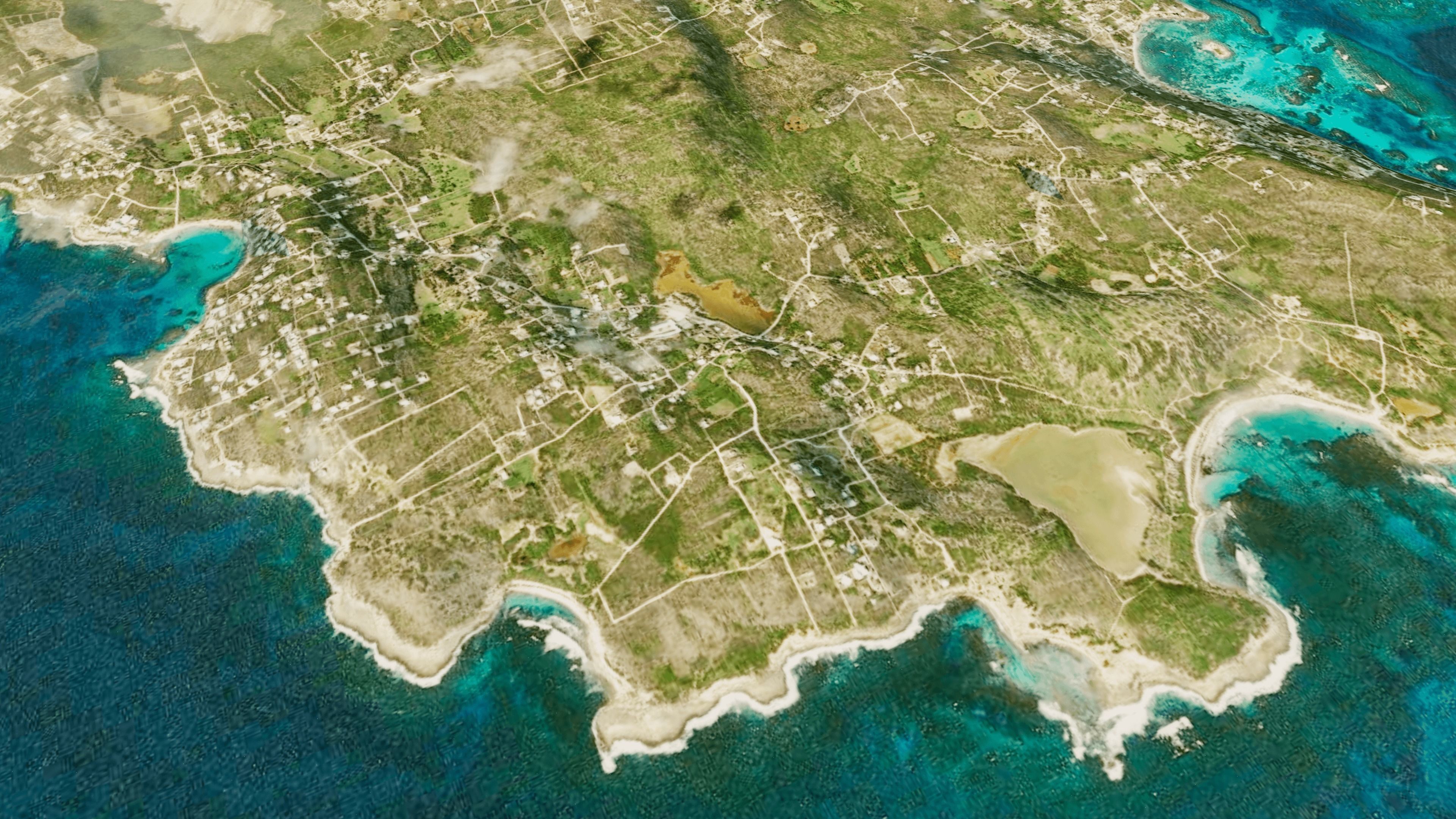
Anguilla Island full 3d model terrain. 3d model of the Island of Anguilla with its landscape of mountains, beaches and forests
3d model landscape of Anguilla island, Eastern Caribbean, Caribbean sea, British Overseas Territory.
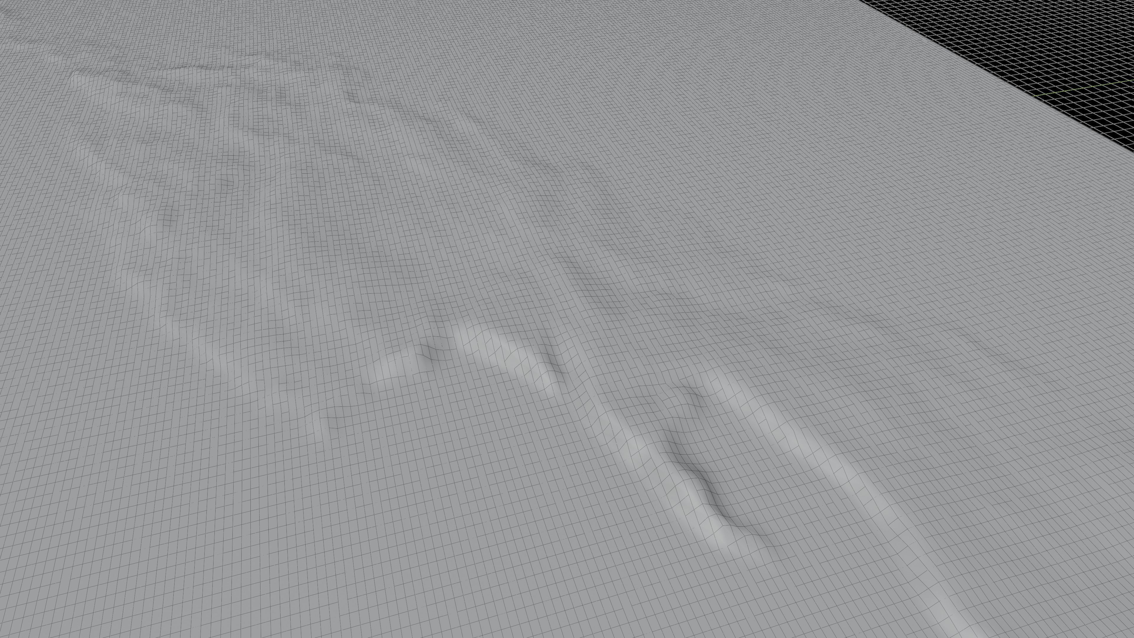
High Poly meshHigh detailed model
with 6K textures
- Diffuse map
- AO map
- Displacement map
- Normal map
- Roughness map
The Blend file do not require the displacement, but you can still use it if you want to create other island model yourself
Texture image from the Anguilla island, Eastern Caribbean, Caribbean sea, British Overseas Territory. Anguilla, a British Overseas Territory in the Eastern Caribbean, comprises a small main island and several offshore islets. Its beaches range from long sandy stretches like Rendezvous Bay, overlooking neighboring Saint Martin island, to secluded coves reached by boat, such as at Little Bay. Protected areas include Big Spring Cave, known for its prehistoric petroglyphs, and East End Pond, a wildlife conservation site.

