

Useto navigate. Pressescto quit
Aerial scan 4 3D model
Description
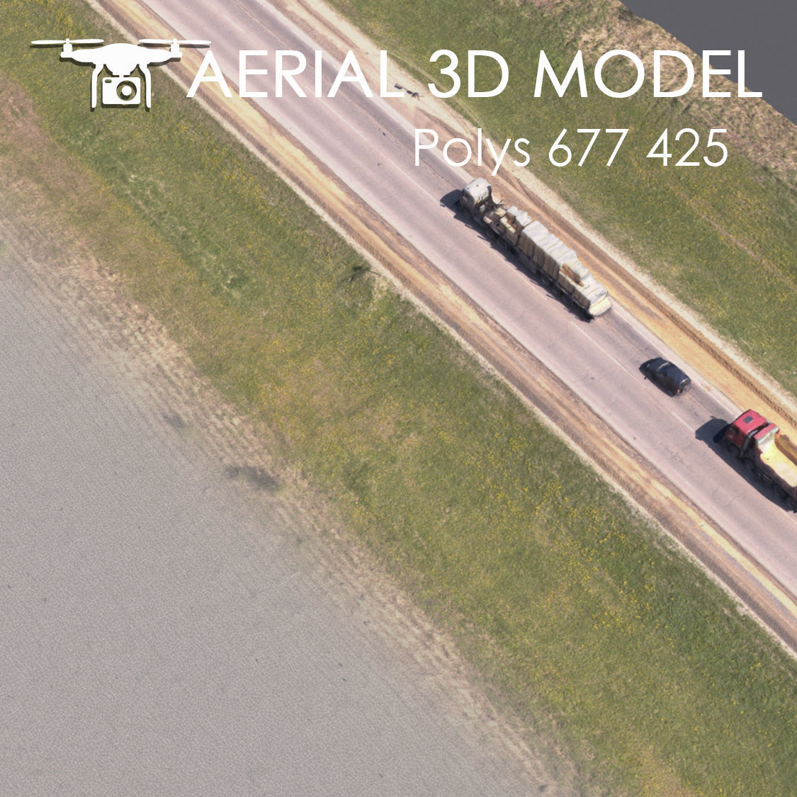
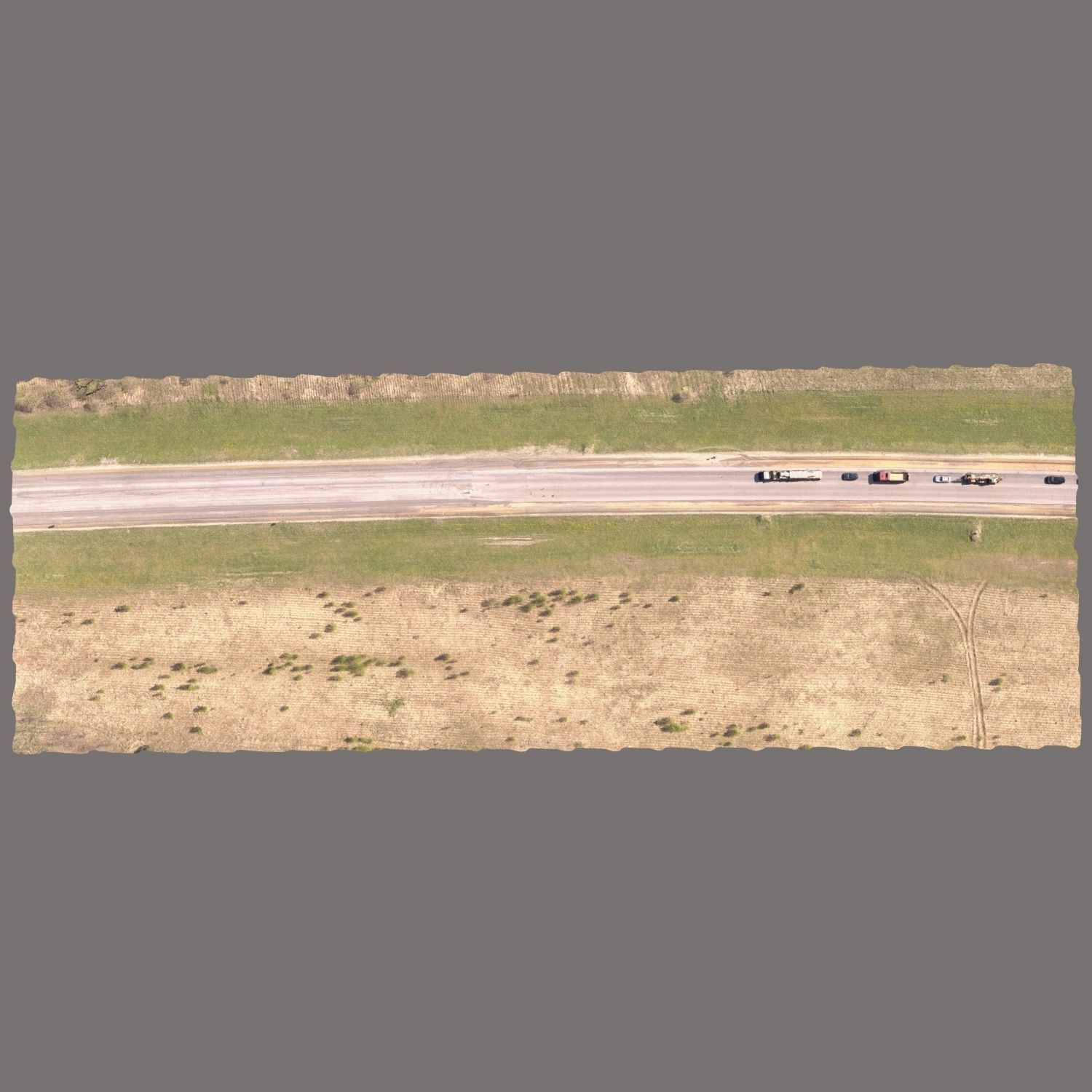
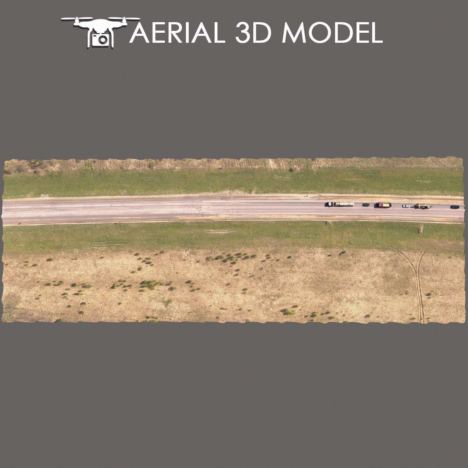
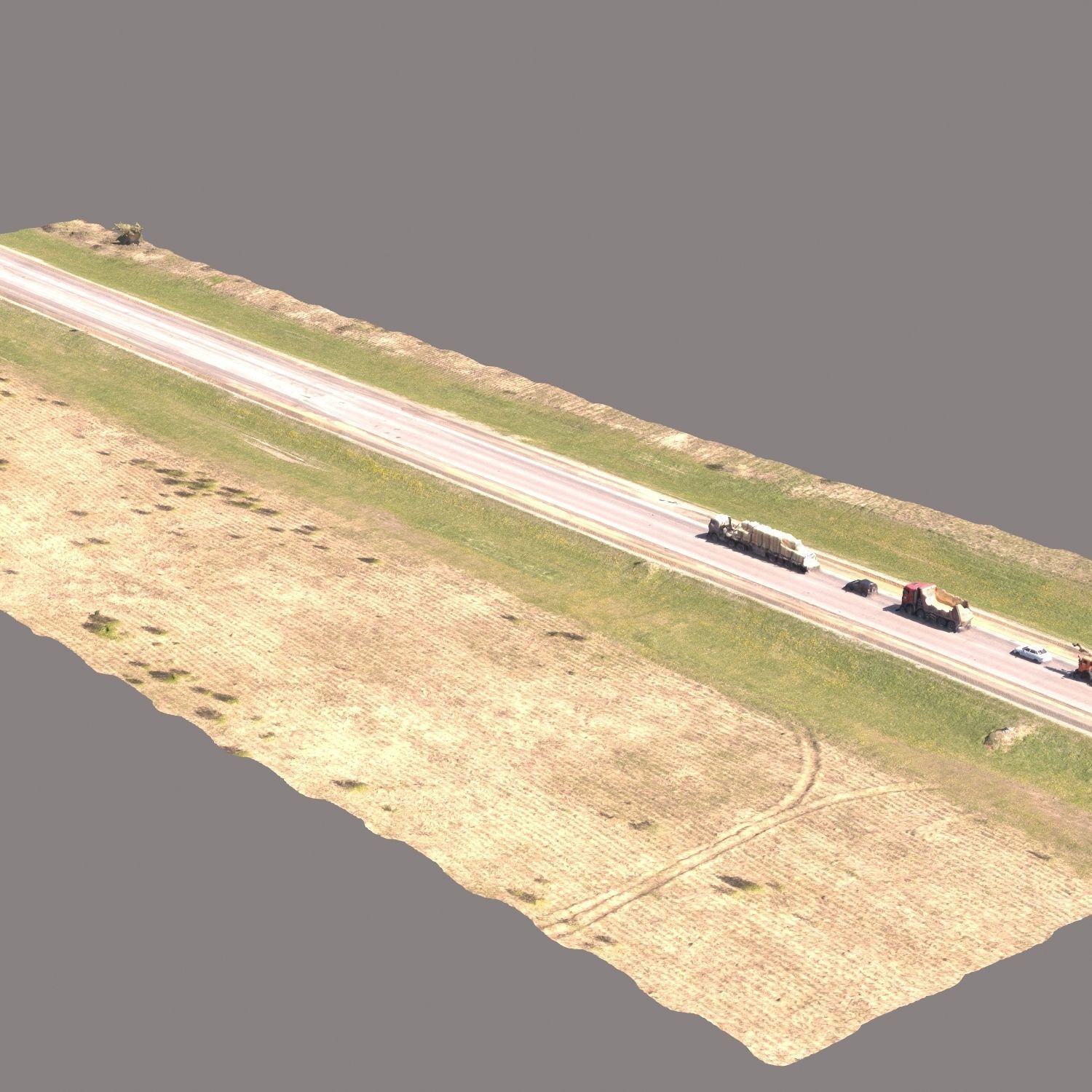
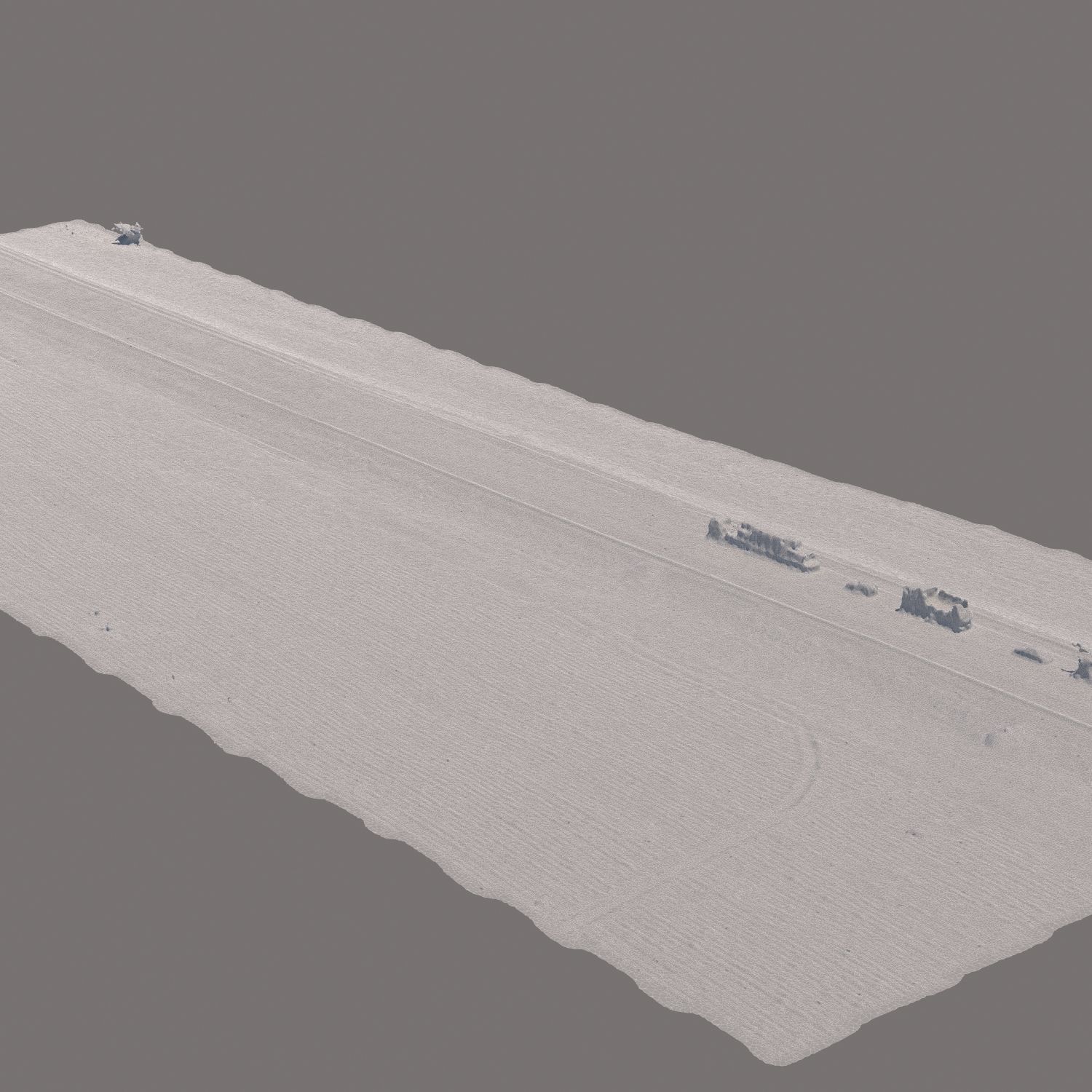
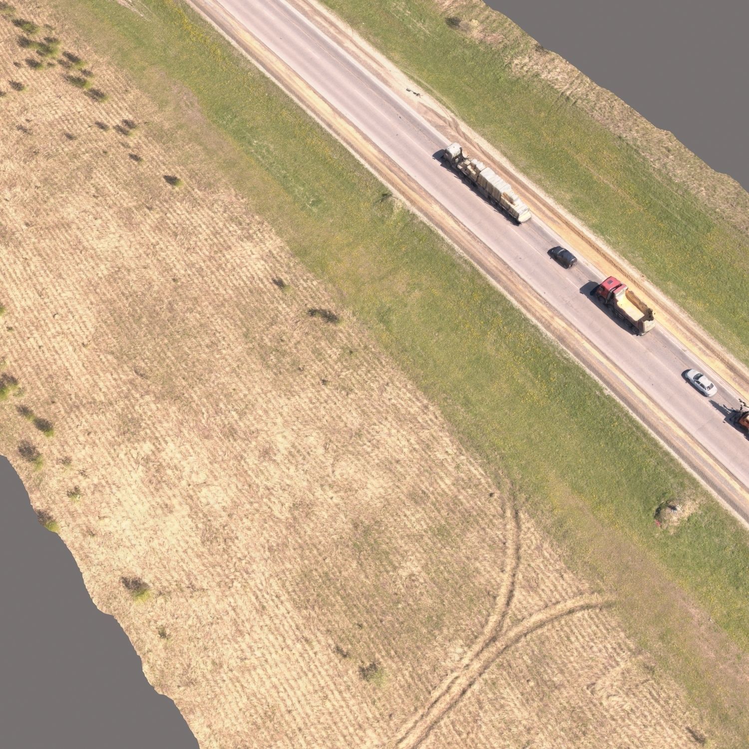
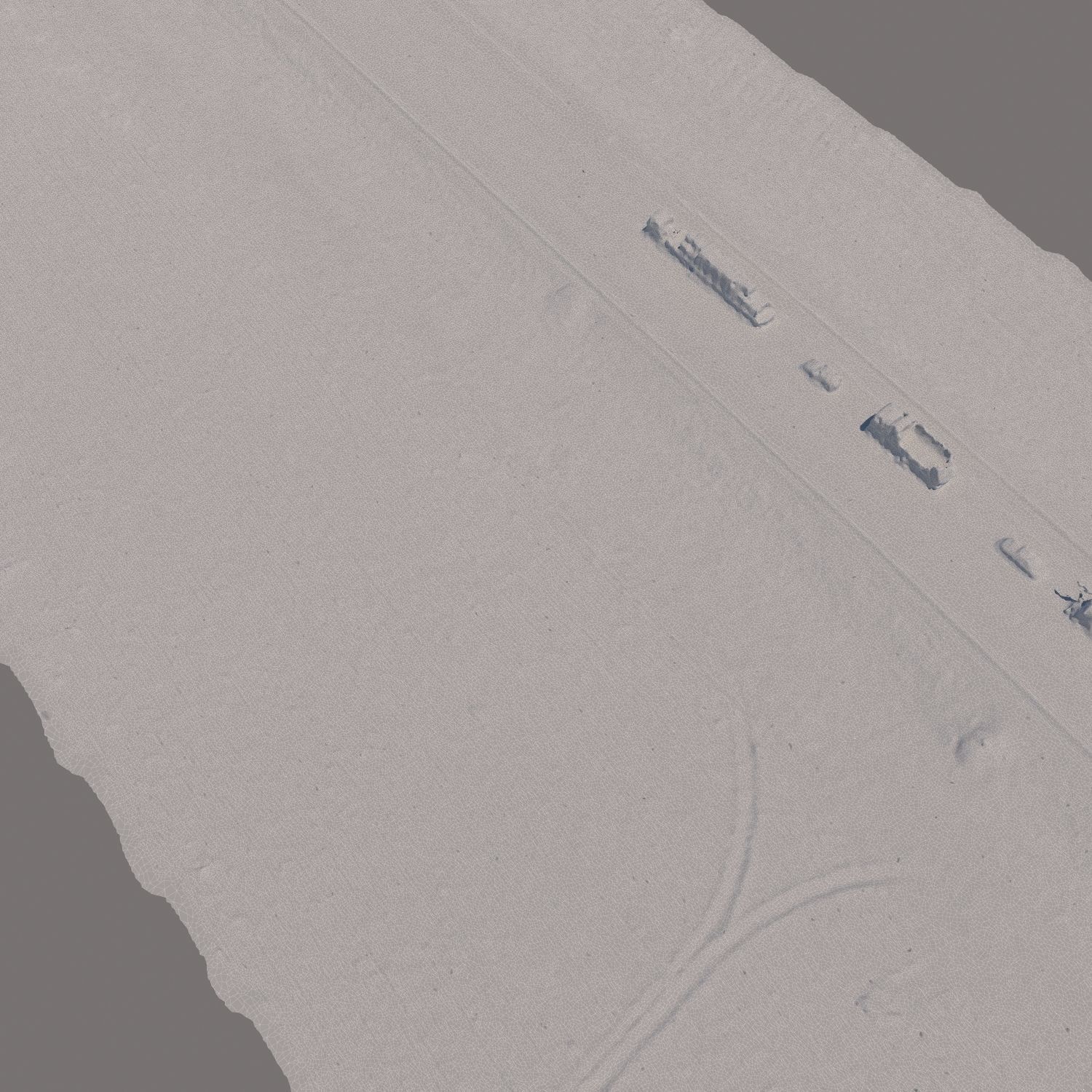
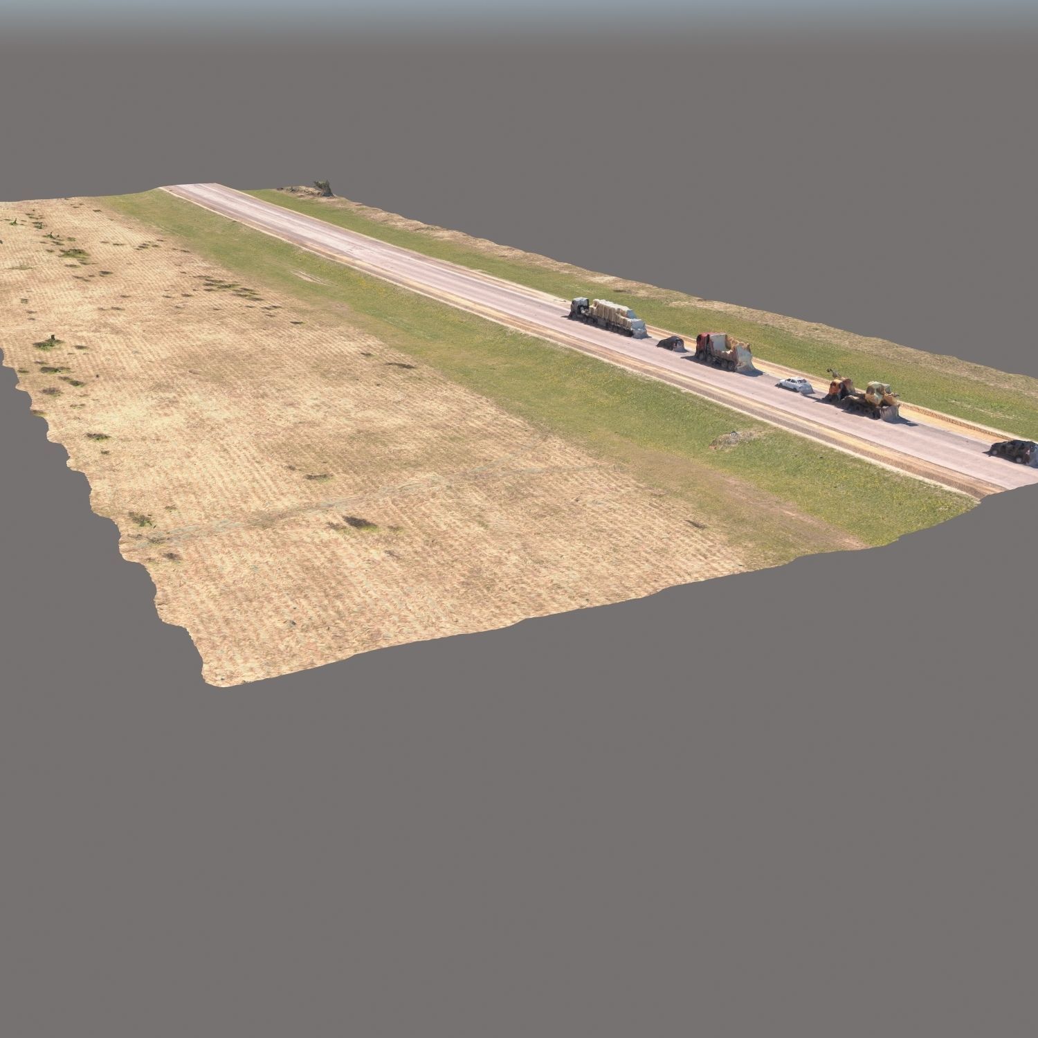
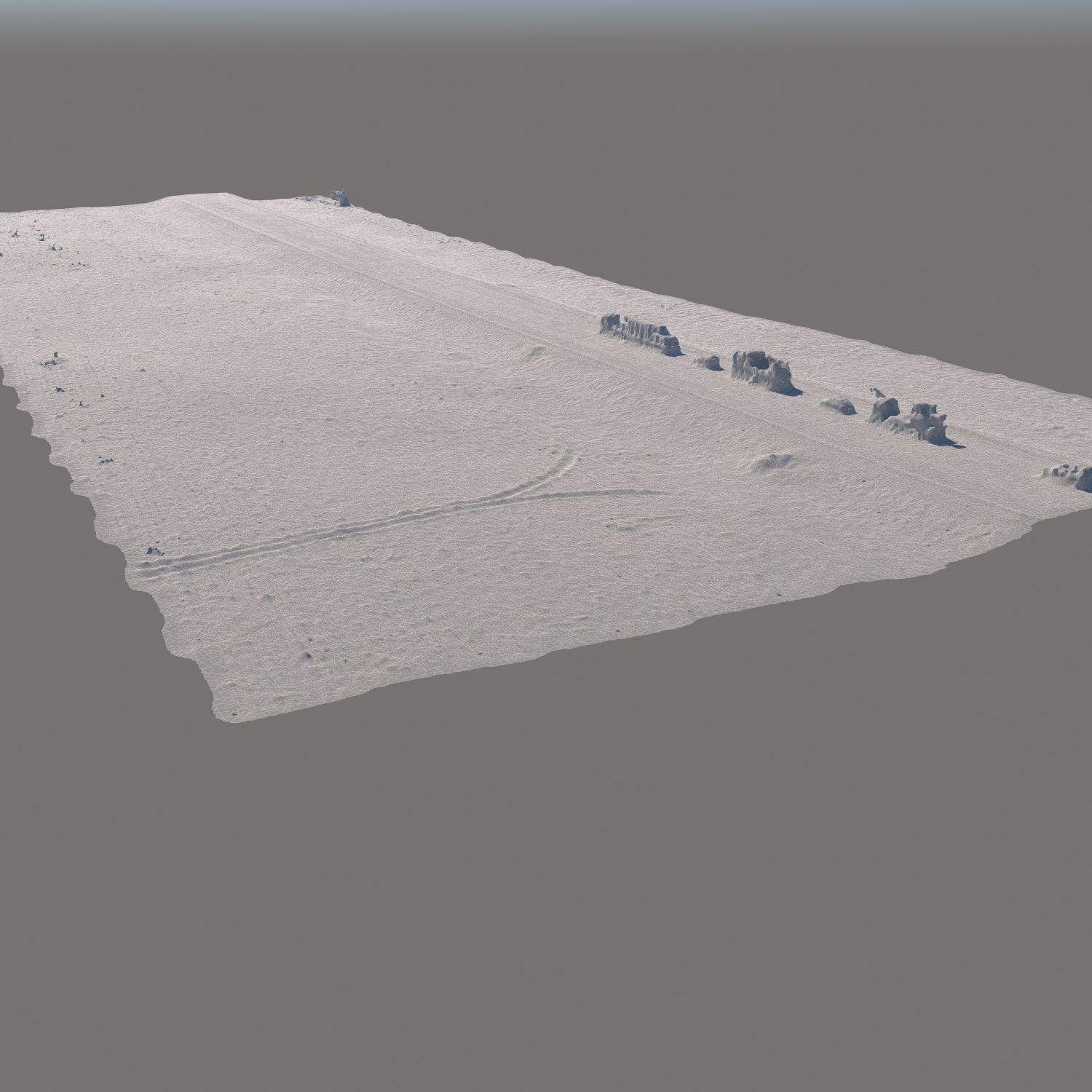
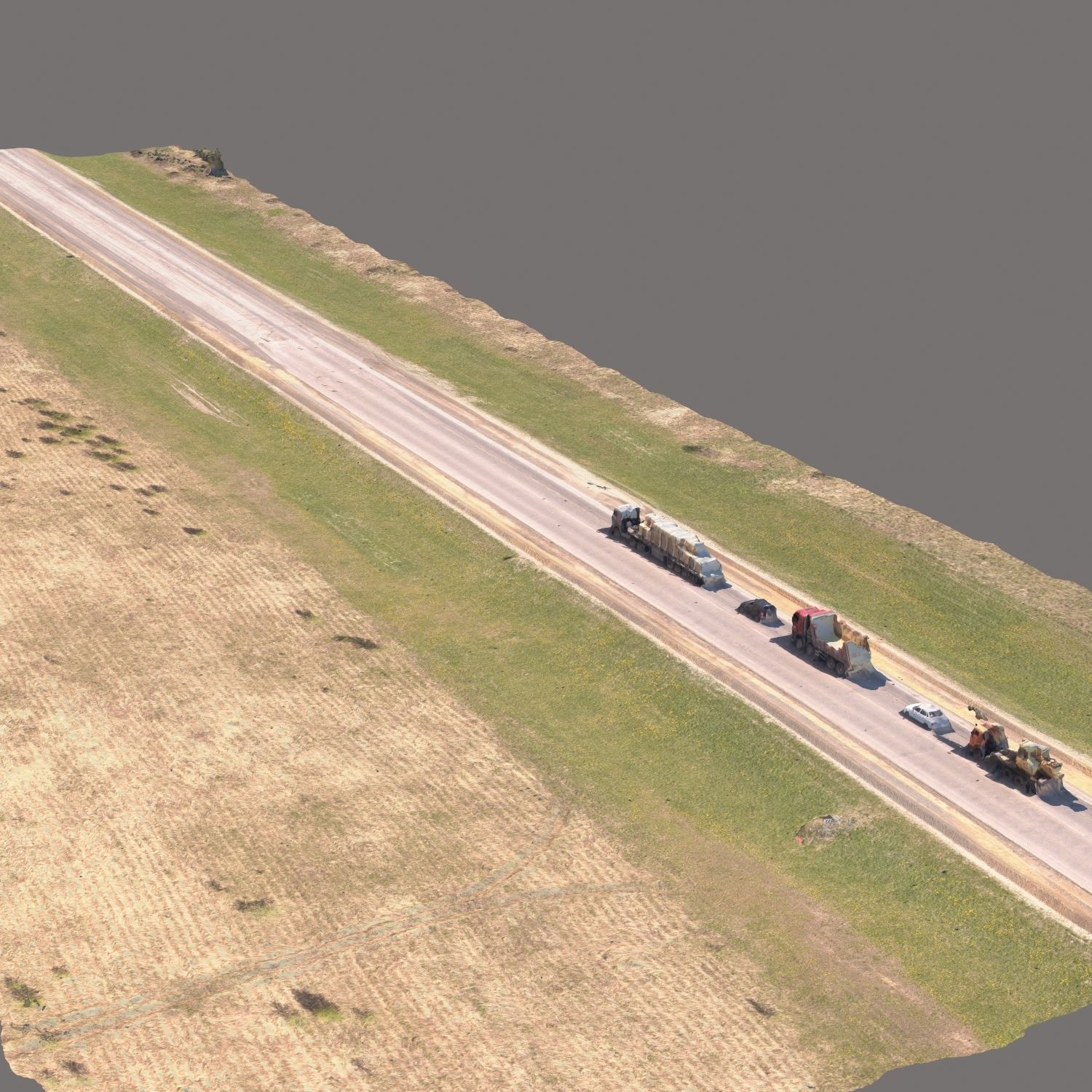
3d scan of the terrain made with a quadcopter at an altitude of 60 m.The model consists of one Edit Poly with 1 texture sweep. Texture (scan) 8192x8192Suitable for visualization of master plans as background filling. The model is made on the basis of real photos and contains many details and features of the landscape.Edit the model with the modifier Slice, so you can trim the model to the desired areas.Use only for long-range plans as a preview.3ds Max 2014, OBJ, FBX
Aerial scan 4
Royalty Free License
Aerial scan 4
Royalty Free License

3D Modeling
Lighting
Texturing
3D Model formats
Format limitations
- Autodesk FBX (.fbx)44 MB
- OBJ (.obj, .mtl) (2 files)103 MB
- mat (.mat)28 KB
- Autodesk 3ds Max (.max)91 MB
- Textures 12.6 MB
3D Model details
- Ready for 3D Printing
- Animated
- Rigged
- VR / AR / Low-poly
- PBR
- Geometry Polygon mesh
- Polygons 0
- Vertices 0
- Textures
- Materials
- UV Mapping
- Unwrapped UVs Unknown
- Plugins used
- Publish date2019-11-14
- Model ID#2160363
Similar Models
to Aerial scan 4

Users who bought this item also bought...
