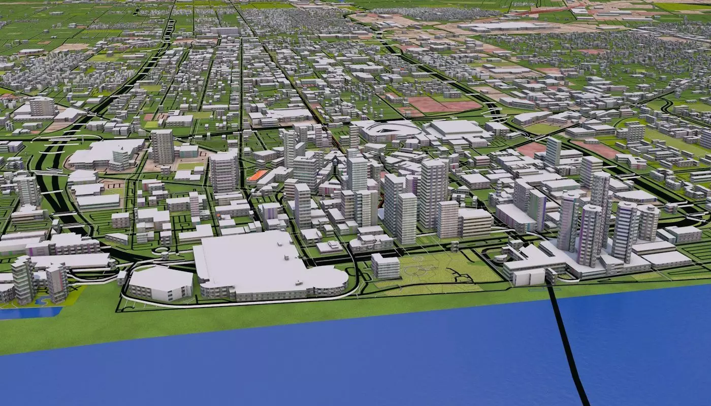
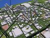
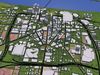
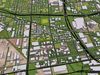
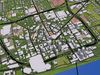
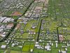
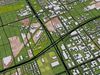
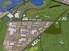
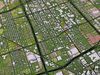
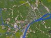
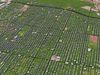
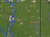
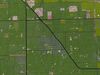
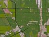
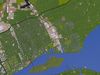
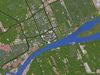
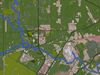
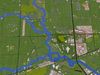
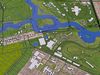
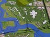
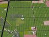
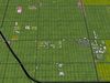
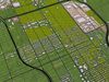
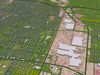
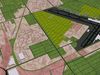
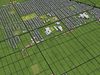
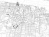
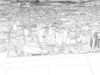
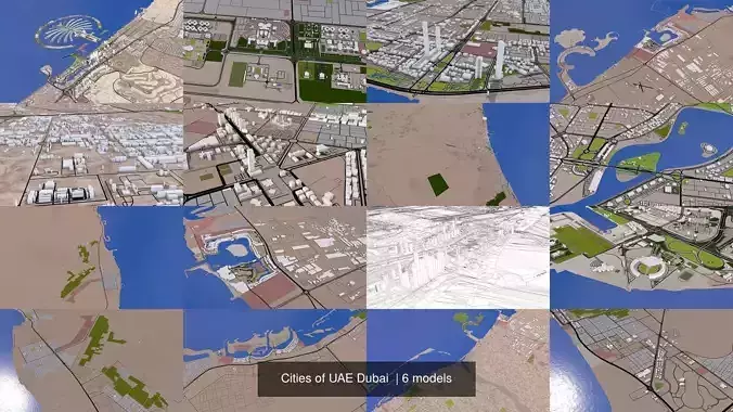
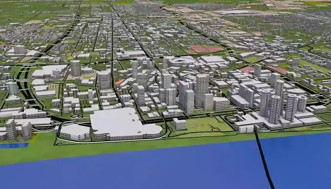
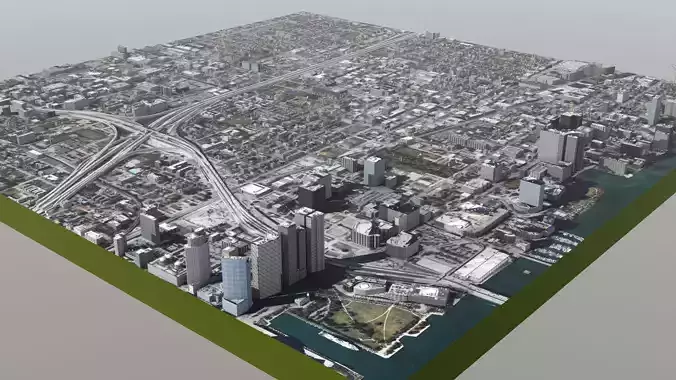
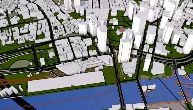
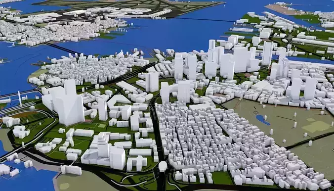
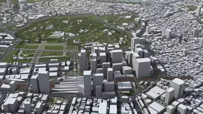
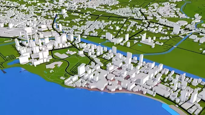
3D representation of Denver City_USA using 2019 map data, 25KMx44.5KM area covered. Roads, railway, land, water, buildings are made using real world data. Buildings are accurately placed and resembles the real world object up to some extend. Please note that random buildings (varying height) are added to those area where real world data is not available.
- Clean heirarchy- Proper grouping according to the type of real world objects. Properly named objects and materials.
- Clean Flat UV map- Properly unwrapped UV for most of the objects. Some objects may have cubic mapping applied.
Buildings are extracted from real world data. There are random buildings added to some areas where real world data is partially available (missing height details).
Scene include following groups/objects (depending on the original data some parts may be missing)
aerodrome apron taxiway terminal
BARRIER
BOUNDARY
BUILDING
random apartments farm hotel house detached residential dormitory terrace houseboat bungalow static_caravan cabin commercial office industrial retail etc.
motorway trunk primary secondary tertiary unclassified residential motorway trunk primary secondary tertiary living street service pedestrian track bus guideway escape raceway road Paths footway bridleway steps cycleway construction proposed rest area
commercial construction industrial residential retail
bridge
wood tree_row tree scrub heath moor grassland
abandoned construction disused funicular light_rail miniature monorail narrow gauge preserved rail subway tramTOURISM
river riverbank stream wadi drystream canal drain ditch fairway dock boatyard dam weir streamend waterfall lockgate
- You can easily hide any layer/groups for better visualization.
- Due to small size and minimum details this scene can be easily loaded.
- Materials can easily be changed and altered.
- Adding texture is easy, thanks to unique materials for each sections.
Map data : OpenStreetMap contributors
CAMERA ZOOM=5KMRatio: 1:127 9763d scene scale : 1:1Scene unit: cm
No elevation dataBridges provided are place holder mesh. Height and shapes vary in real worldBuilding heights are identical to real world where such data exist. Else randomly extrudedBuilding shapes are roughly obtained due to lack of data Cross bridges and under passages can be defined using the bridge data providedTree and vegetation is not included. However you can easily populate trees and plants using the data provided