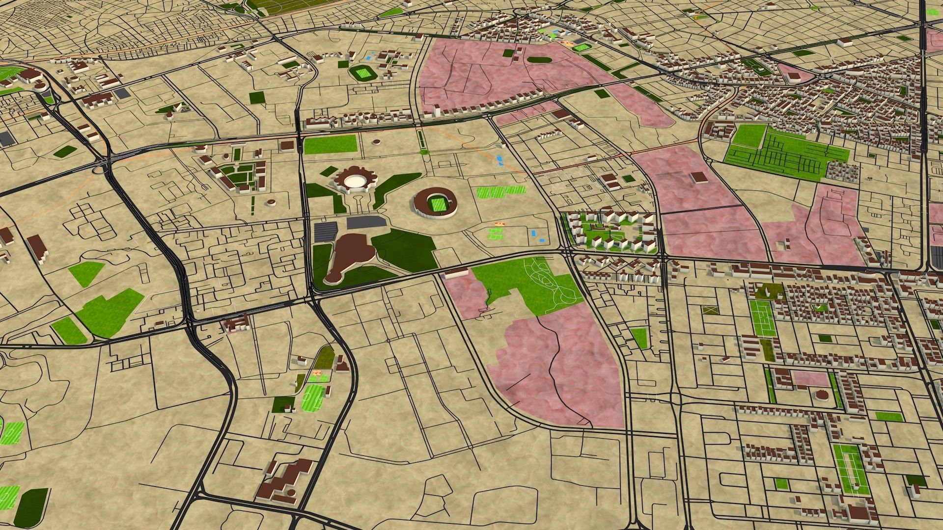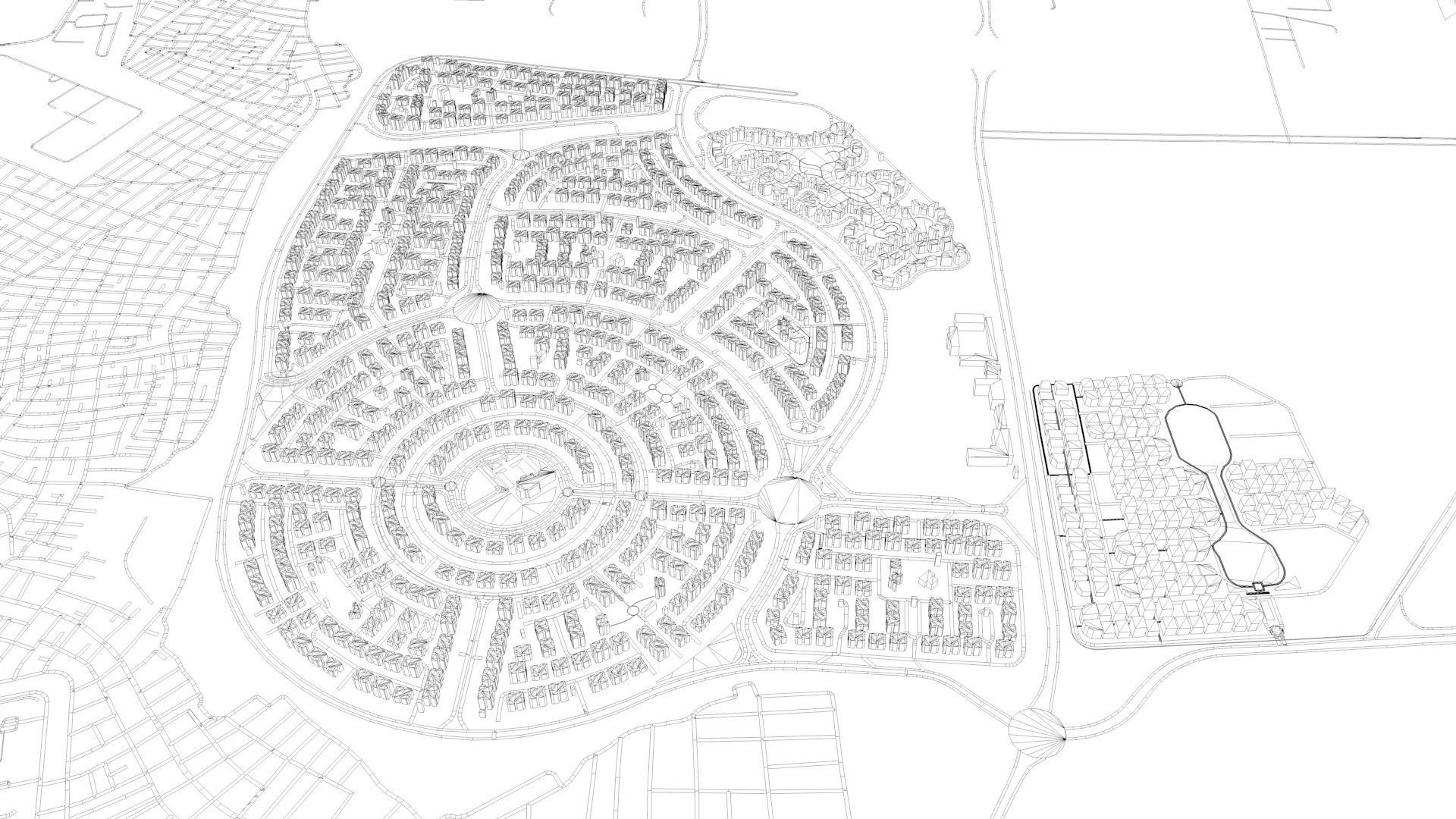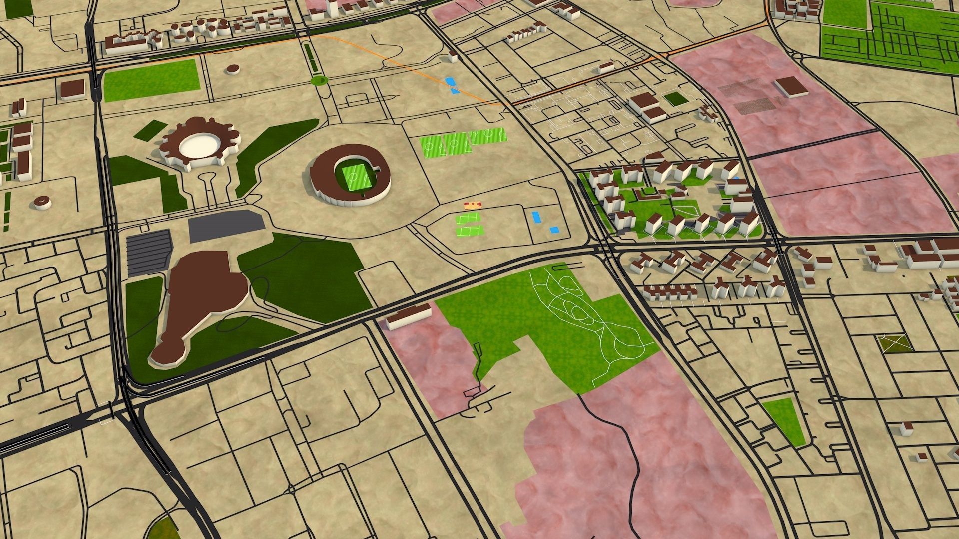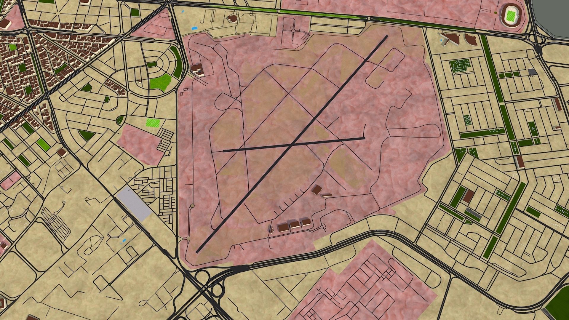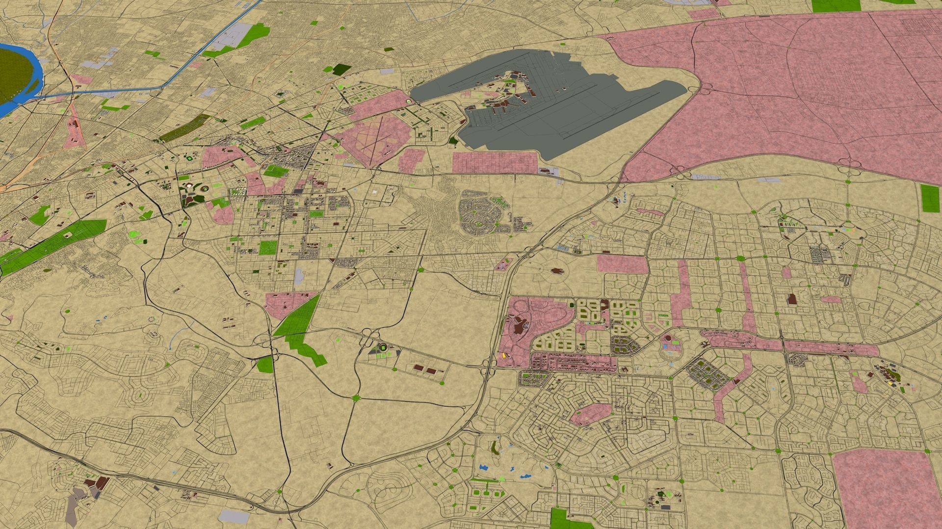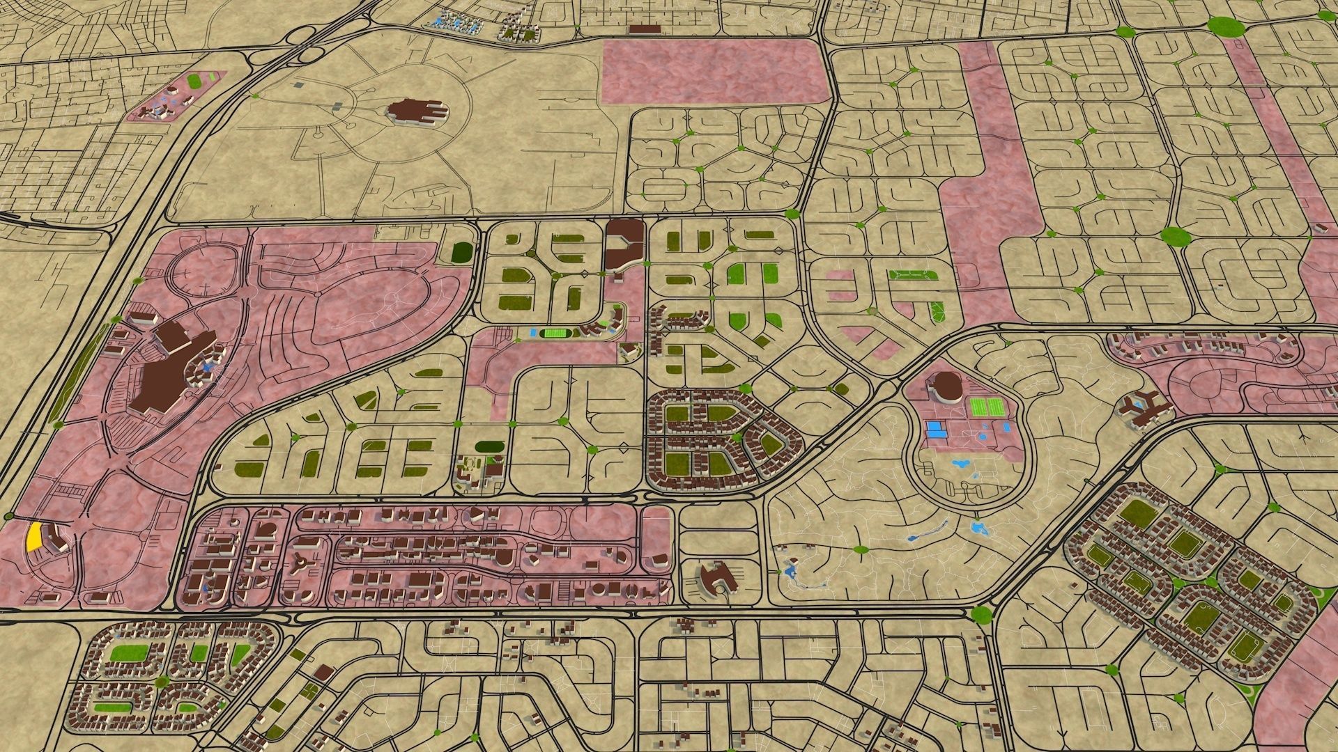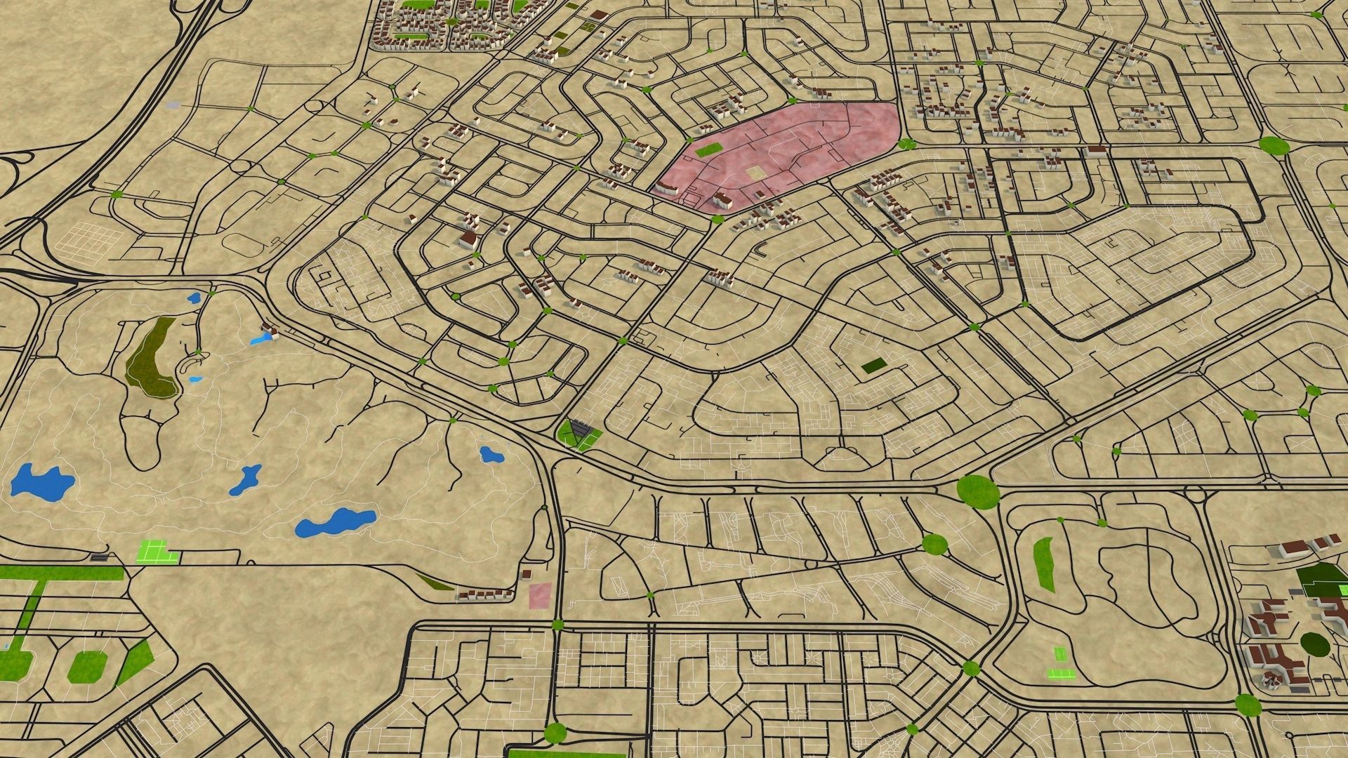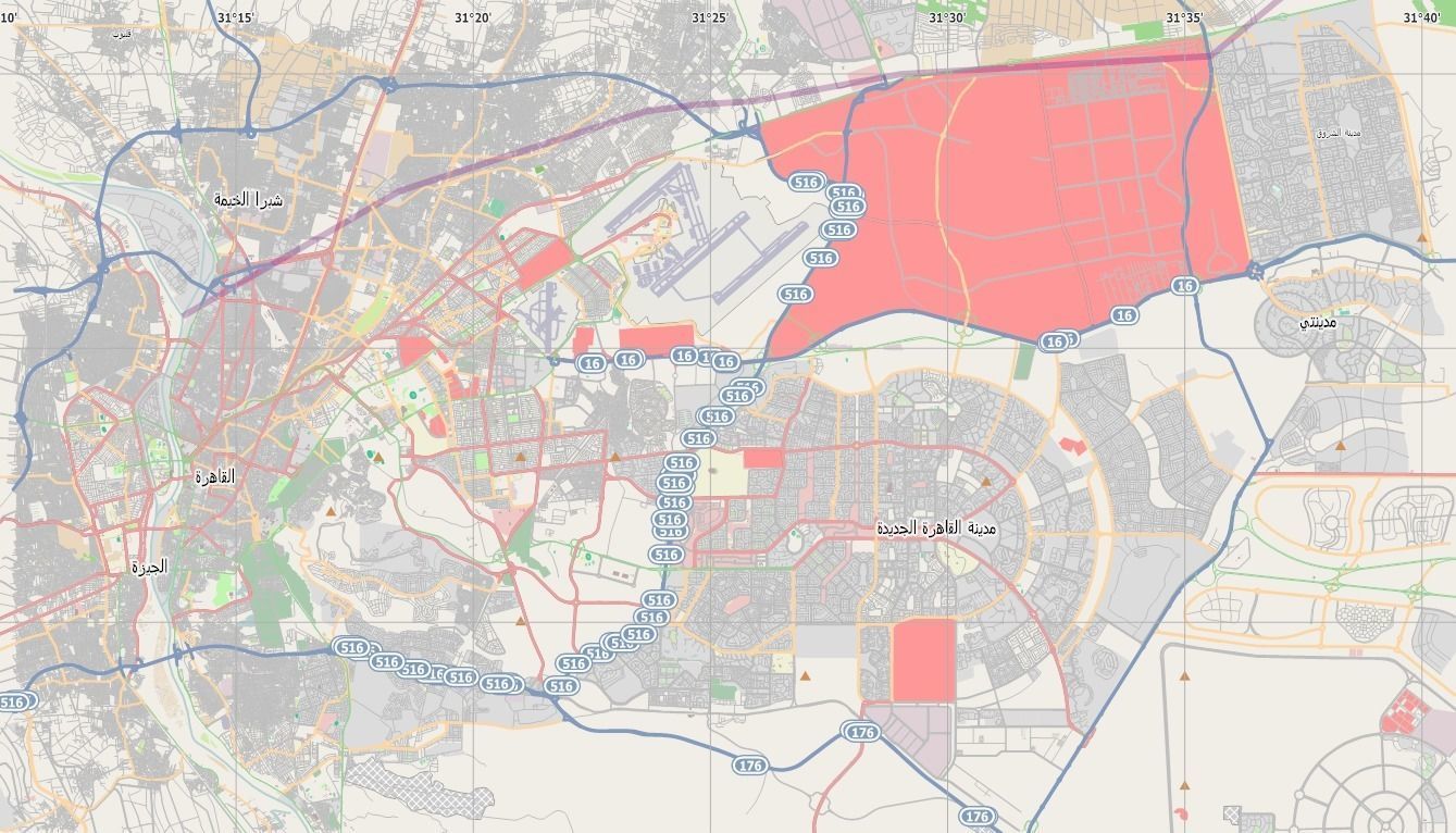
Cairo city Egypt Oct 2020 Low-poly 3D model
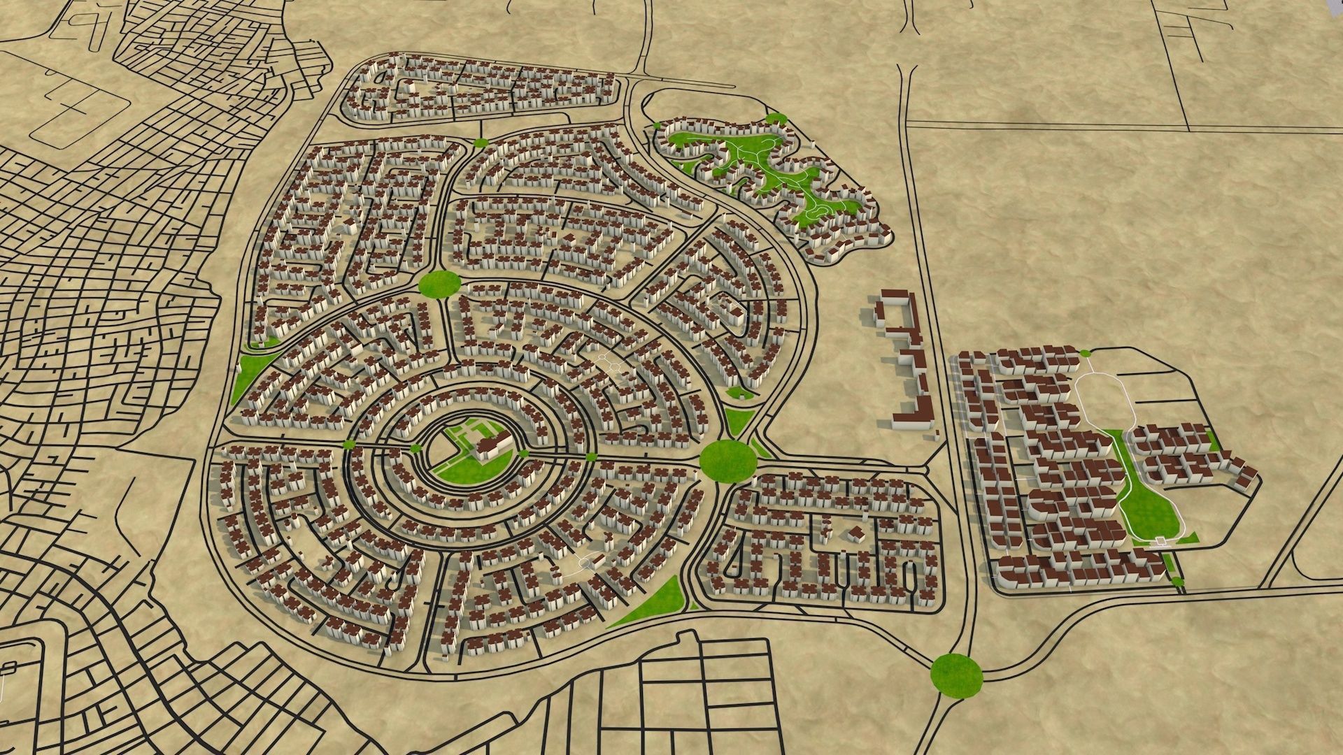
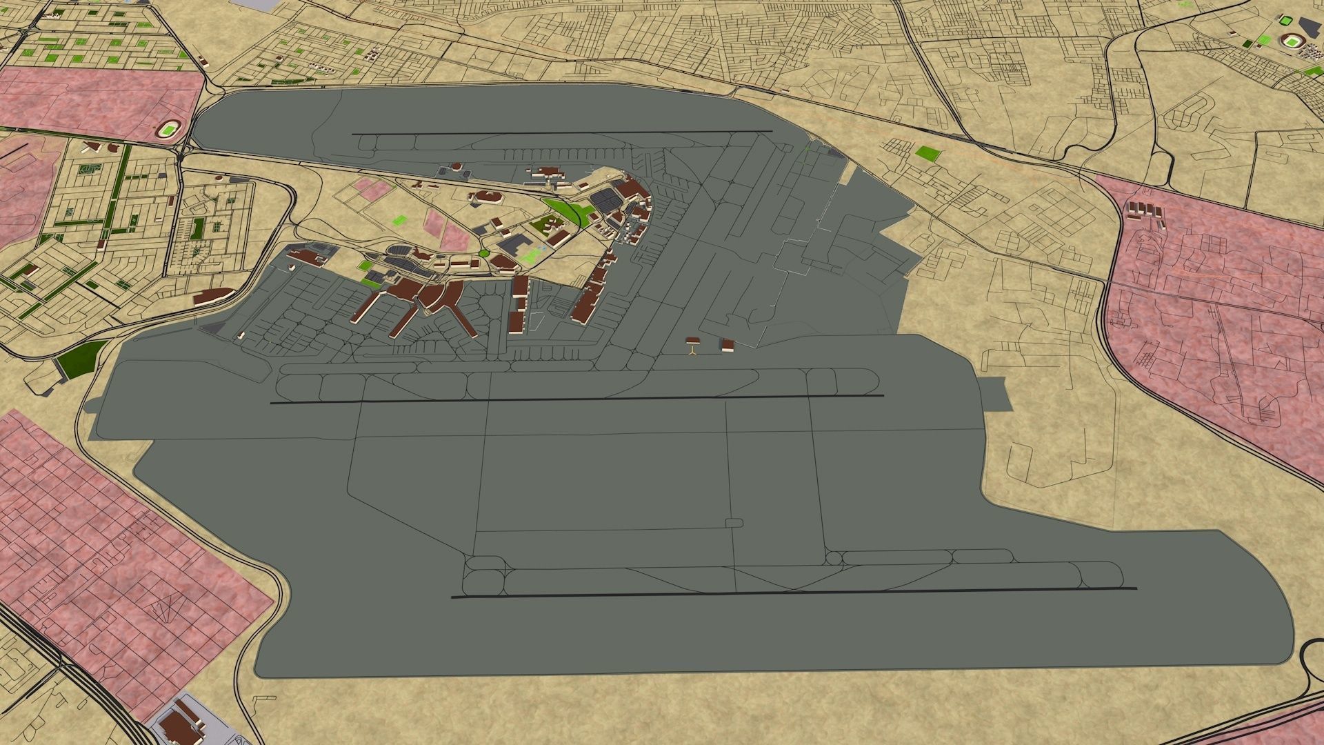
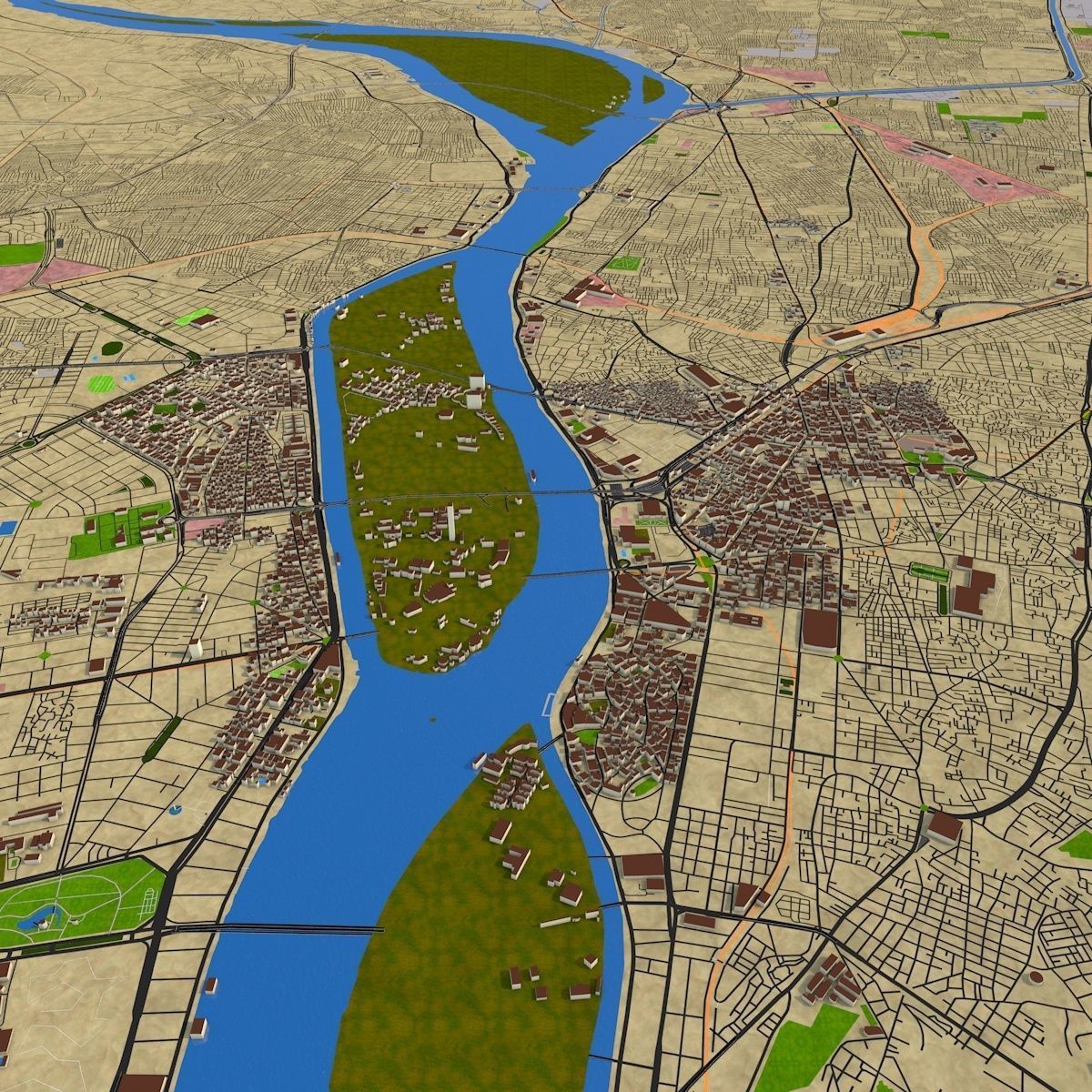
Based on October 2020 GIS data. This scene is optimized, arranged for faster rendering, visualization and editing. You can use the extra data for motion graphics and info graphic animations.
File formats include:
C4D
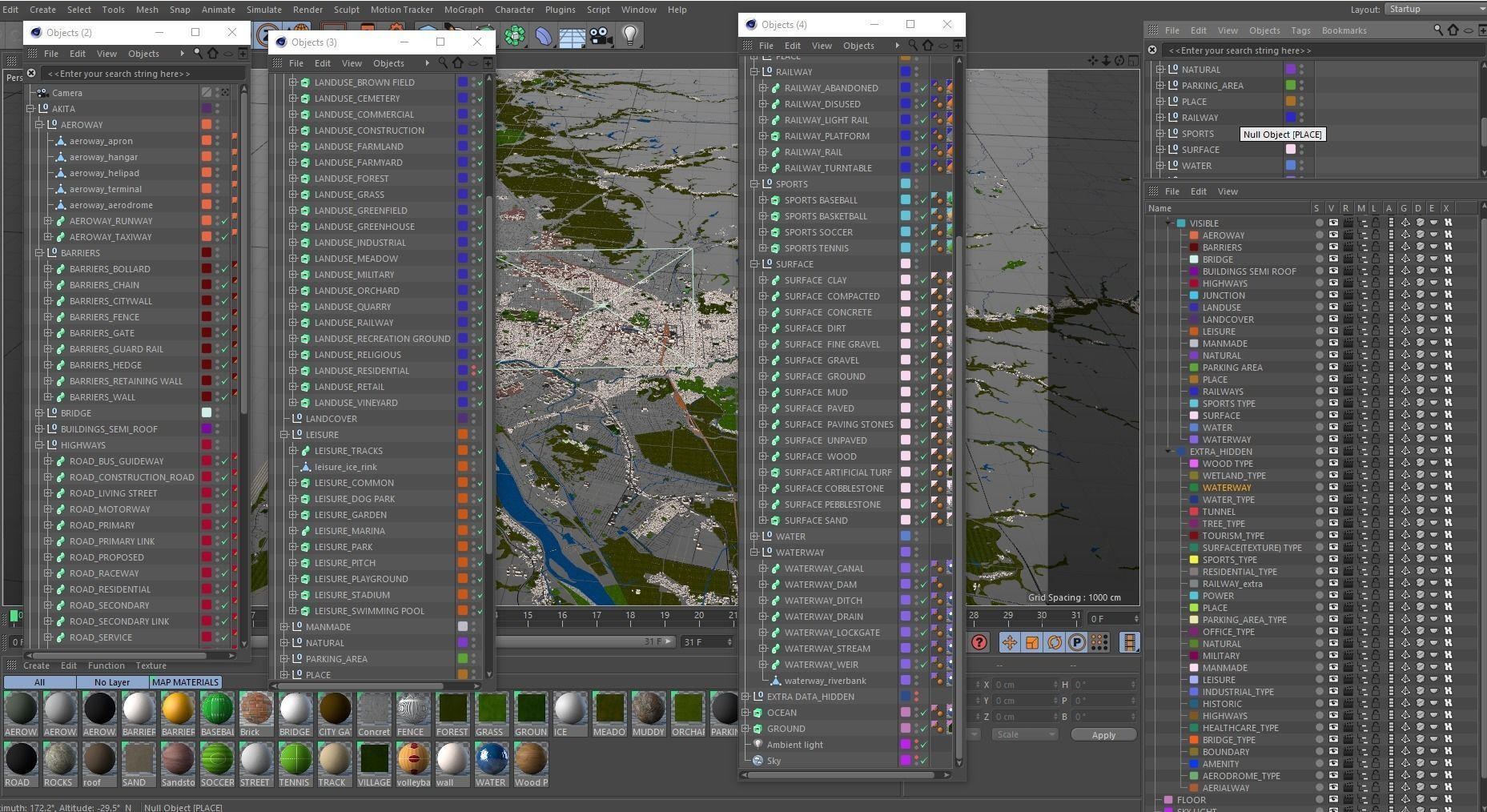
C4D Native, : nurbs, curves You can easily change the road/rail/water details. Adding traffic is easy. May take little longer to load because of all procedural data.
C4D Poly : All objects are polygon. No curve data and extra details. Easy to load and navigate.
C4D 2d : All curves data, useful for merging with C4D poly.
All 3 files are arranged in to sections, layered and named materials applied.
Alembic : nurbs version contains polygon and curve data. Poly has polygon and 2d has only curves.
FBX: Only polygon, no extra data
OBJ : Polygon, no extra
DAE : Polygon
STL : Polygon, not for 3d printing.
DXF : 2d file contains all curves, 3d file contains only polygon
SVG : Vector file (Illustrator only) is useful for finding details. It is not used in the 3d formats.
All the exchange formats are arranged hierarchically with proper groups, naming and materials. You can get the extra details by merging any of the 2d format on top.
Buildings:
Native : Building semi roof - Single mesh, useful for architecture visualization.
Building category : Low poly mesh with different groups (up to 50 category). Useful for motion graphics. You can show how many hospitals, clinics, office there and where exactly are those in the city.
Kindly download the read me file and High resolution preview render and go through the details. Check all the accompanying images thoroughly then buy.
If you need any assistance create a ticket under Contact us option. You can also request for other cities.
Scene contains following details,
Aeroway, Barrier, Bridge, Buildings, Highway, Junction, Landuse, Leisure, Manmade, Natural, Parking Area, Place, Railway, Sports, Water
Extra details include
Aeroway,Aerodrome type, Amenity, Boundary, Bridge type, Healthcare, Historic, Industrial, Leisure, military, Office type, Parking area, Power, Residential type, Sports type, surface, tourism, tree, Tunnel, waterway, wetland, wood etc.
Each sections has sub groups. All are arranged in to groups/layers with proper name.
It is easy to populate tree. You can use any of the scattering option available in your 3d package (c4d use cloner). Use tree row, forest, wood, land cover areas for tree distribution. You can consider tree type section to find particular tree group in a specific area.
Kindly download the read me file first!

