1/39
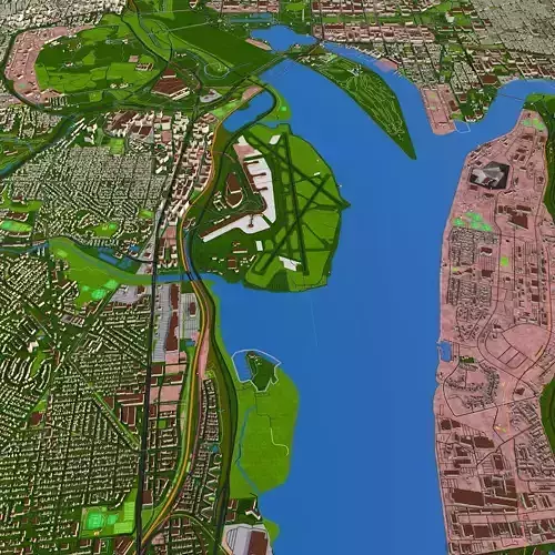
3D city model of Alexandria_USA using Nov 2020 GIS data.
Clean scene with properly grouped, named, textured objects.
Different mesh details (low, med, high)
Low - all terrain layers are baked into the texture
Med - Contains all terrain layers (land details, water details as separate polygons)
High- Contains all details including curves and extra details (including amenity, hospitals, sports etc. ) Only C4d file is provided. You can merge extra details and 2d data over med/low scene to get high scene.
2d- 2d scenes contains all 2d curves including water, railway, roads and land details.
Buildings - 2 scenes. default will be combined mesh. There is separate folder named category under building folder, which is separate building mesh including house, office, hospital, flat etc (around 50 catageries).
All the textures are attached, including water mask, road data etc.
3d terrain map on request. Any city can be provided on request.
REVIEWS & COMMENTS
accuracy, and usability.


