3d Political Map of Bangladesh

3d Political Map of Bangladesh 3D model

Description

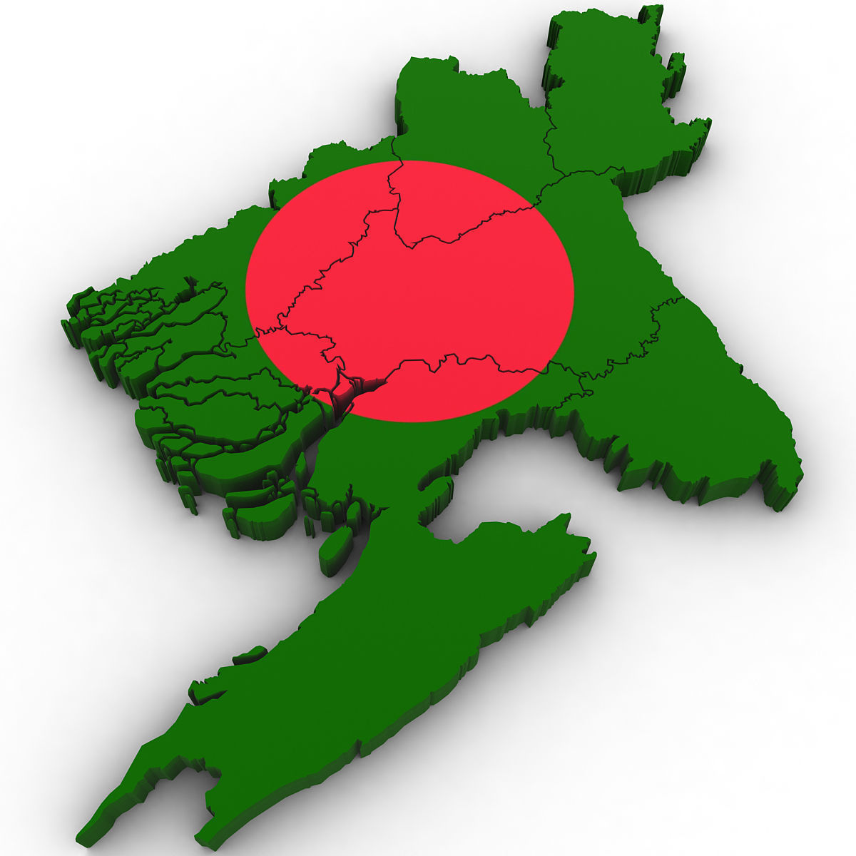
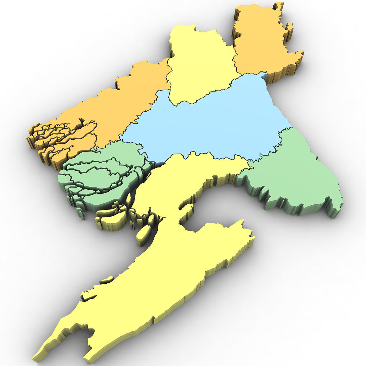
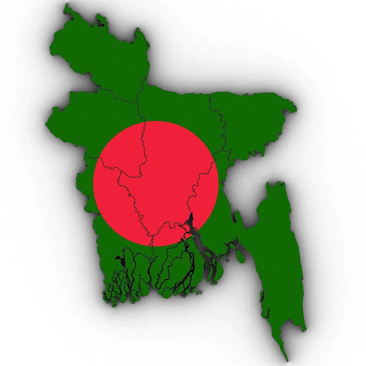
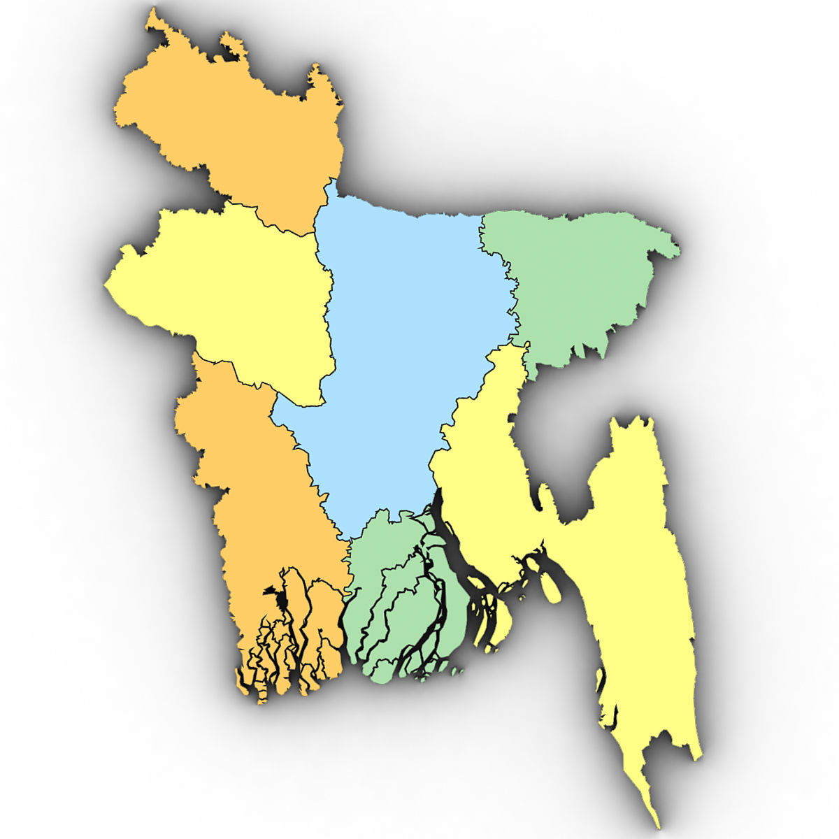
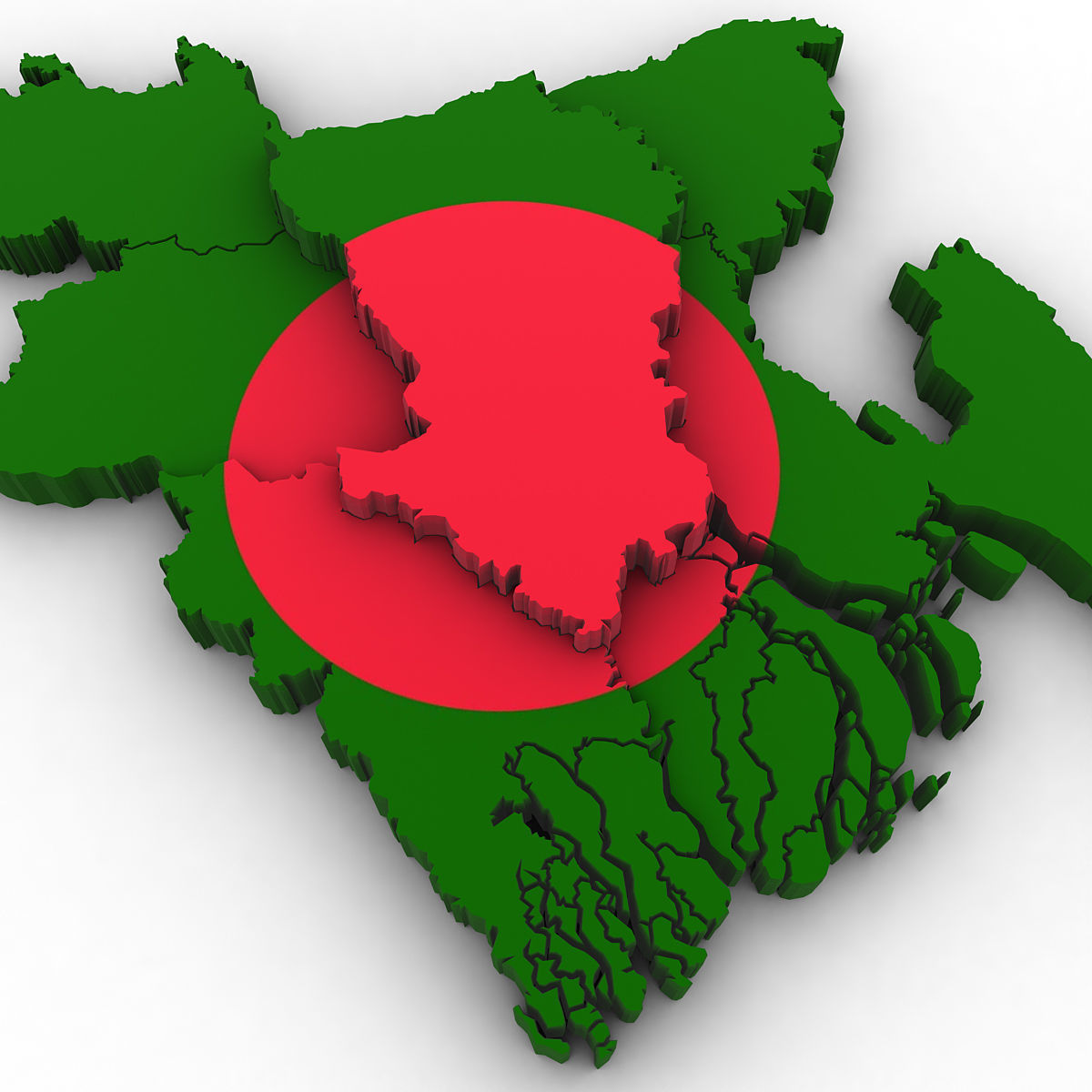
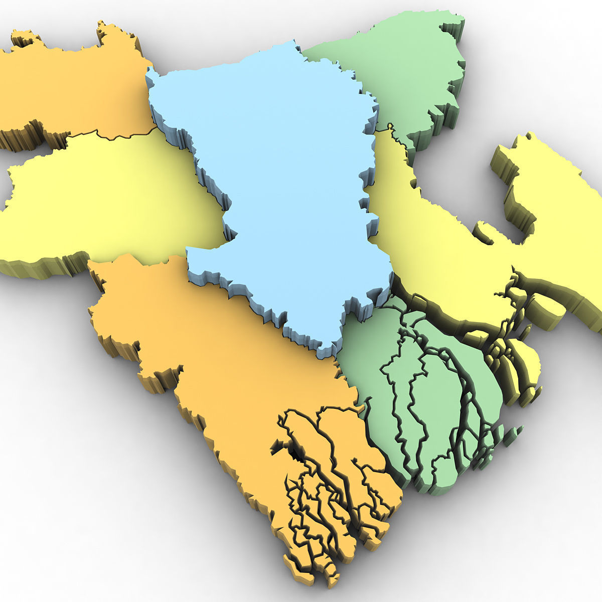
High poly 3d model of the map of Bangladesh. Includes all the regions of Bangladesh.

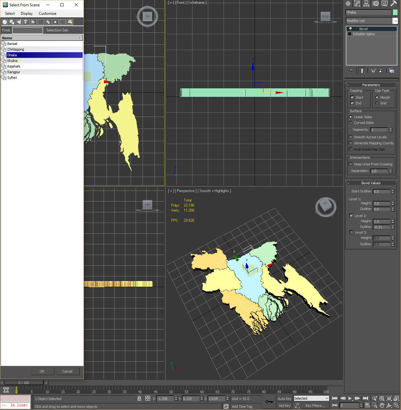
3ds max version and all exported geometries include standard procedural materials; no additional plugins are required for this product.

3ds Max Version Only All Bangladesh regions are editable splines with the bevel modifier applied allowing for adjustments in height and/or removal of the bevel. All exported versions will be editable poly/mesh. All models are properly labeled with correct country names.

Item rating
0 0
3d Political Map of Bangladesh
$40.00
 
Royalty Free License 
3d Political Map of Bangladesh
$40.00
 
Royalty Free License 
Response 87% in 0.6h

3D Model formats

Format limitations
  • 3D Studio (.3ds)619 KB
  • Other 1.32 MB
  • OBJ (.obj, .mtl) (2 files)1.42 MB
  • Autodesk 3ds Max 2010 (.max)223 KBVersion: 2010Renderer: Default (Scanline)

3D Model details

  • Publish date2016-08-14
  • Model ID#637119
  • Animated
  • Rigged
  • VR / AR / Low-poly
  • PBR
  • Geometry Polygon mesh
  • Polygons 22,196
  • Vertices 11,266
  • Textures
  • Materials
  • UV Mapping
  • Unwrapped UVs Mixed
  • Plugins used
  • Ready for 3D Printing
Help
Chat